Inspiration:
After learning iOS and developing a Parks & Recreation app, I decided to create an app that incorporated the ArcGIS SDK for iOS. I wanted to develop something that would use our maps hosted on our ArcGIS Server and to give the public something that would make their lives easier.
How it works:
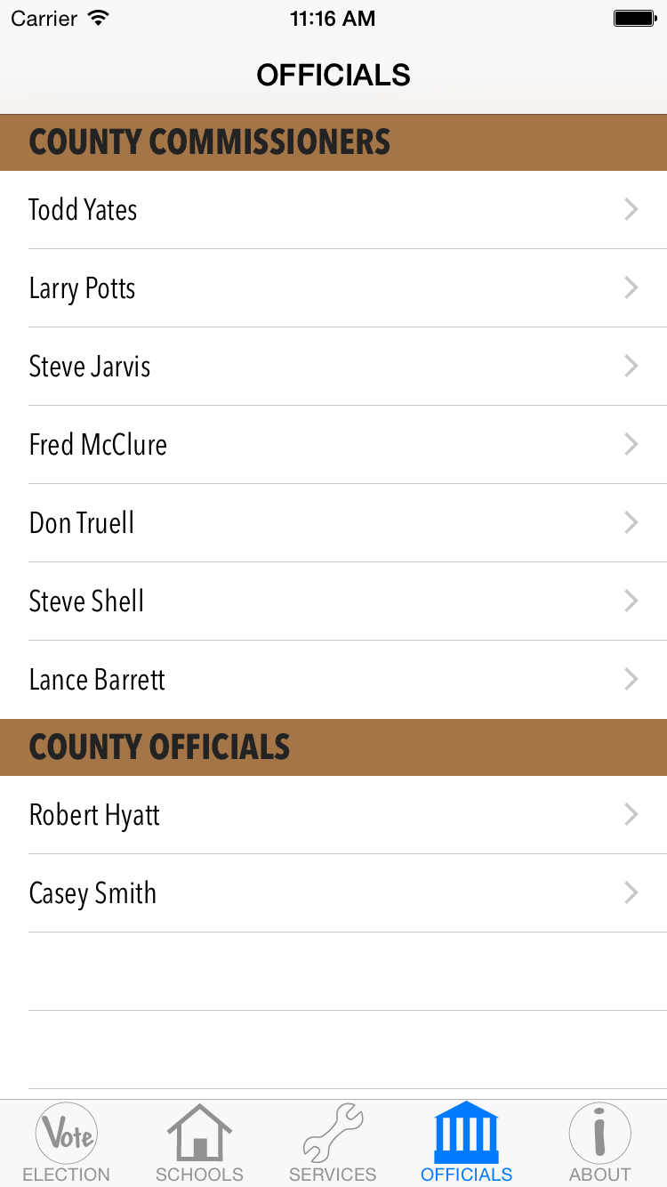
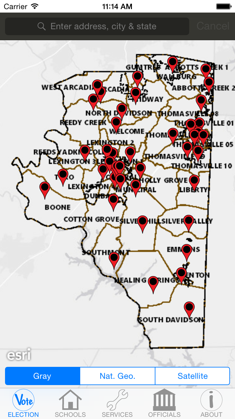
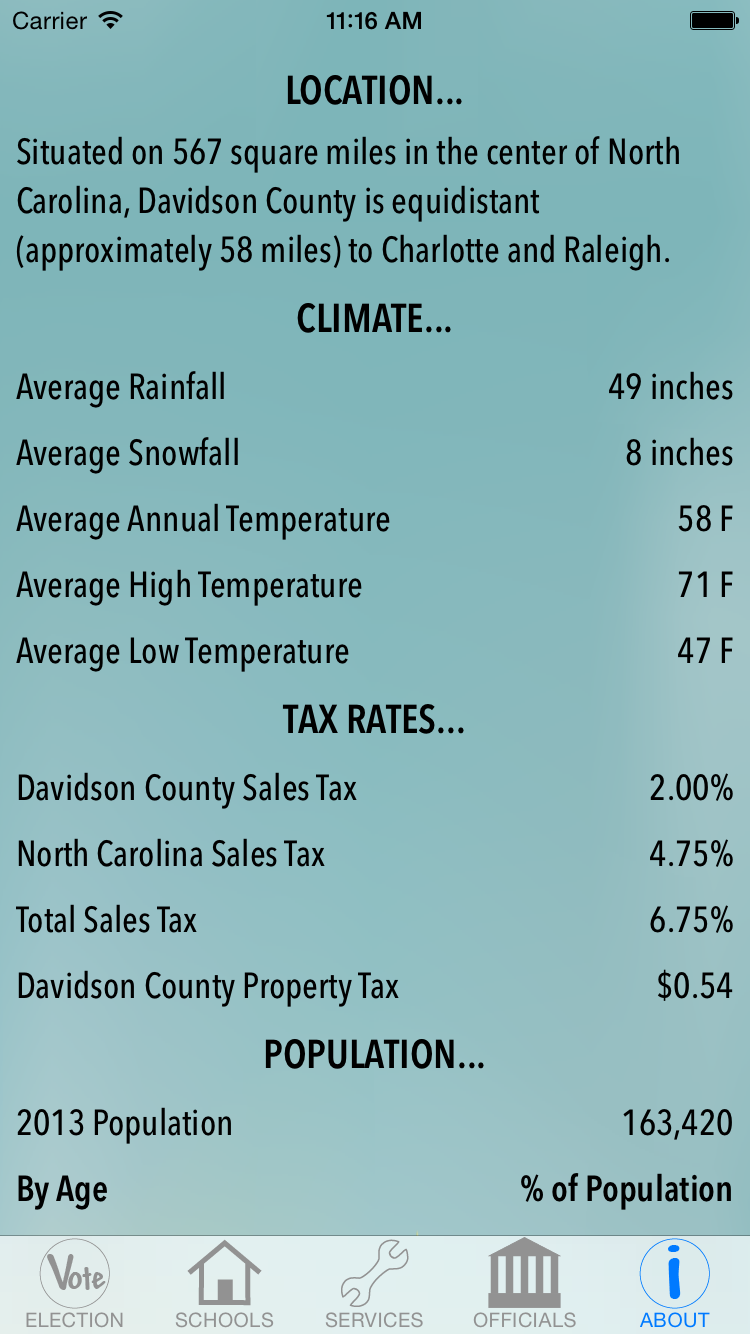
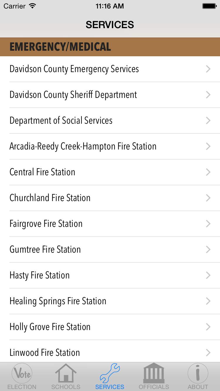
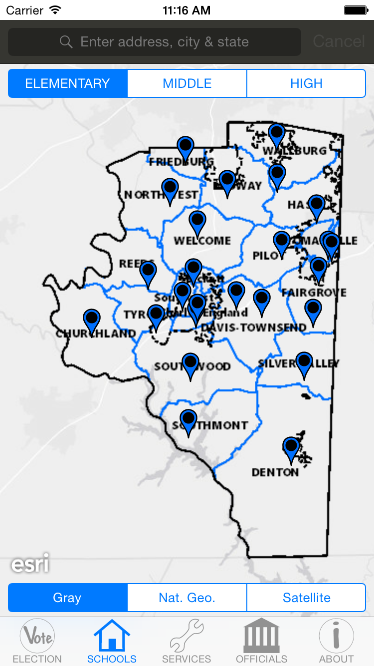
This app has five tabs with the first being a map of Davidson County's election precincts and polling locations. A user can search for an address and be taken to the polling location for that address. Several different background maps can be chosen and more information is available for the polling location selected. The second tab is for the county school districts. Elementary, middle and high school districts along with pins for the schools can be viewed by selected the appropriate button for each. Several different background maps can be chosen and more information is available for the selected school. The third tab lists services available in Davidson County; fire departments, libraries, hospitals, animal shelter and utilities are among the services listed. More information is available for each service such as phone number, driving directions and website if available. The fourth tab lists all of the elected officials for Davidson County. The fifth and final tab gives some basic demographic information for the county.
Challenges I ran into:
One of the biggest challenges was creating the search functionality for the polling locations. The North Carolina Board of Elections does not have a public API for their polling location search available on their website, so I had to create my own. I first created a list of polling locations for all the addresses in the county and then I created a web service that would return a location for an address the user typed in. This part took me some time as I have never done this type of thing before.
Accomplishments that I'm proud of:
I am proud of the fact that I produced this app in its entirety. The design, coding, graphics, layout structure, testing and app store submission was completed by myself. No one else in my organization is familiar with mobile development and so when I ran into issues it was up to me alone to solve them.
What I learned:
I am now more experienced with iOS development, more familiar with the ArcGIS iOS SDK and web services in general.
What's next for DC Finder:
That I am unsure of as I have taken a new opportunity with the City of Greensboro. I will be their GIS Applications Developer and producing internal applications for the Engineering & Inspections Department.
Built With
- arcgis-sdk-for-ios
- cocoa-touch
- objective-c
- soap
- xml

Log in or sign up for Devpost to join the conversation.