Inspiration
In using real-time open data, I felt romantic about the emphasis on visual effects! Above all, APIs that give a visually interesting experience are usually paid for, I detested this.
What it does
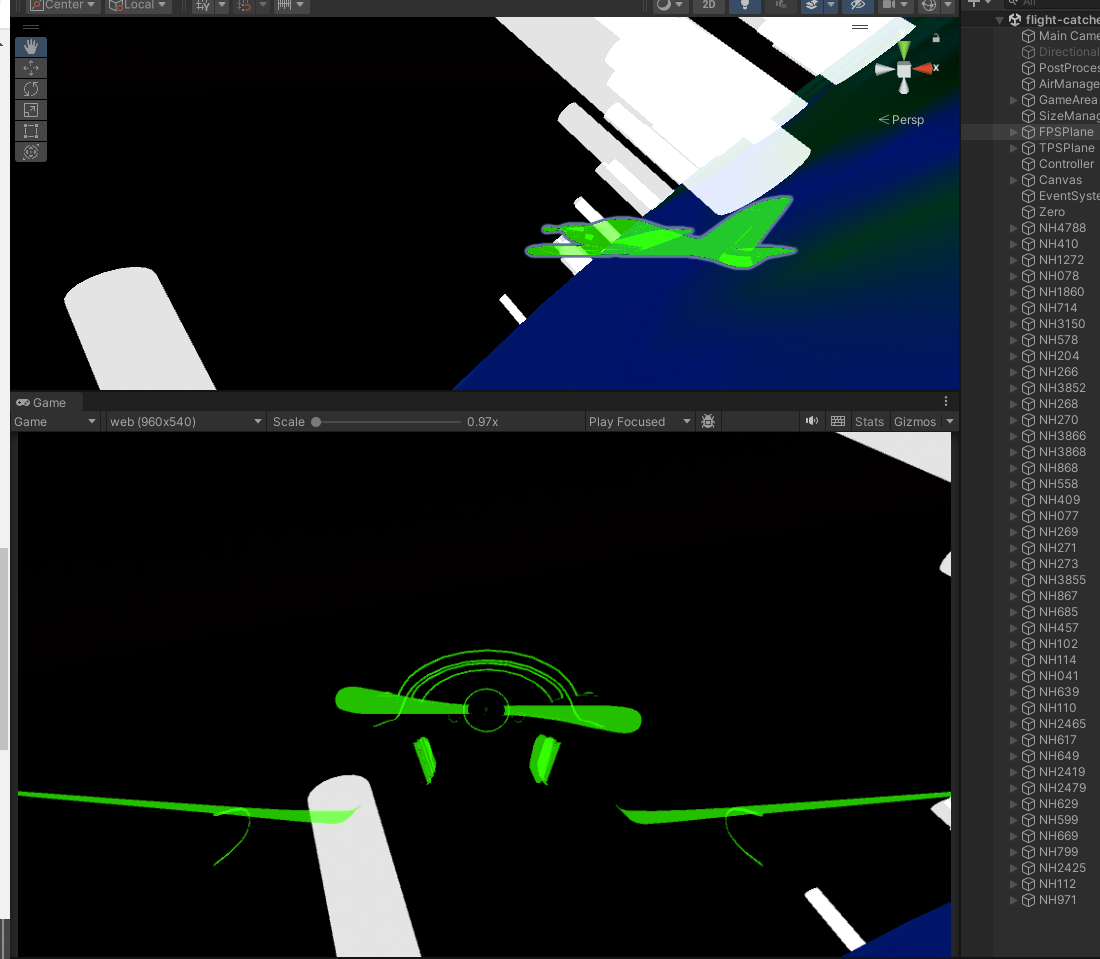
The 3D earth projected on Unity, and using Airports, Arrival and Departure times of passenger aircraft, etc. extracted from ANA's real-time passenger aircraft data(free). It is a game in which you explore the huge earth as an airplane and make contact with passenger planes flying in real time.
How we built it
1.Obtain the URL of the API that transmits information including arrival and departure information of passenger aircraft, ID, etc.: In my case, I used https://www.odpt.org/.
- receive the Json file using UnityWebRequest
- convert the submitted Json file according to the way you read Json: in my case to use LitJson (https://litjson.net/) and MiniJson (https://gist.github.com/darktable/1411710) and rewrote the structure of the JSON file.
- introduce an airliner flying with the data obtained by analyzing the Json file: First, we set up the system with data that includes passenger aircraft currently in flight, and then introduced passenger aircraft that departed in real time.
- All passenger aircraft data and airport data are drawn and a simple game is implemented. ## Challenges we ran into First, the Json file was in a format that could not be read by JsonUtility, Unity's standard library; the Json file was rewritten and further analyzed using other reading libraries. Second, the necessary information could not be gathered using a single API. We used https://www.odpt.org/. Since a single URL did not provide departure, arrival, ID, airport iata, latitude, and longitude, we used multiple URLs and Dataset to mutually filter the information. ## Accomplishments that we're proud of Simulation of accurate airport locations and real-time flight information. could be implemented without spending money! ## What we learned How to handle Json in C# and other tools and libraries. Real-time information exchange using APIs. Specifying coordinates using latitude and longitude. ## What's next for Flight Catcher Implementation as a visual spectacle in VR. Further expansion of flight information with more APIs.
Built With
- https://gist.github.com/darktable/1411710
- https://www.odpt.org/
- unity

Log in or sign up for Devpost to join the conversation.