-
Nimbus Hero Section
Inspiration
Ships report their position over AIS, and the ones with the most to hide switch it off. A 2024 study in Nature found that about 75% of industrial fishing vessels do not appear in public tracking systems. Cameras in orbit help little: roughly two-thirds of Earth is under cloud at any moment, and over the ocean less than 10% of the sky is fully clear.
Synthetic aperture radar (SAR) needs neither light nor clear sky. It sends microwave pulses at the sea and records the echoes. Open water scatters them away; steel hulls send them back as bright points. For a hackathon themed "In the Clouds," we built around the one sensor that clouds don't stop.
What it does
Nimbus follows one question through four steps: is there a ship here that isn't saying so?
- Detect. Sentinel-1 radar scenes are scanned for bright returns, and a classifier we trained decides which are ships. Each ship is matched against AIS positions interpolated to the second of the satellite pass.
- Explain. Every unmatched ship gets an evidence panel: nearby AIS traffic, the classifier score, and a persistence check across other passes that separates moving vessels from rocks and fixed structures.
- Predict. For each dark candidate, Nimbus draws how far it could have traveled and finds the next satellite passes whose radar swath covers that area.
- Act. Gemini turns the evidence into a case-file report with the findings, the next imaging windows and recommended verification steps. An analyst must sign it off before anything is referred.
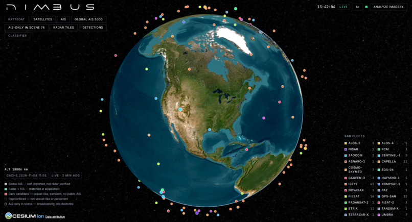
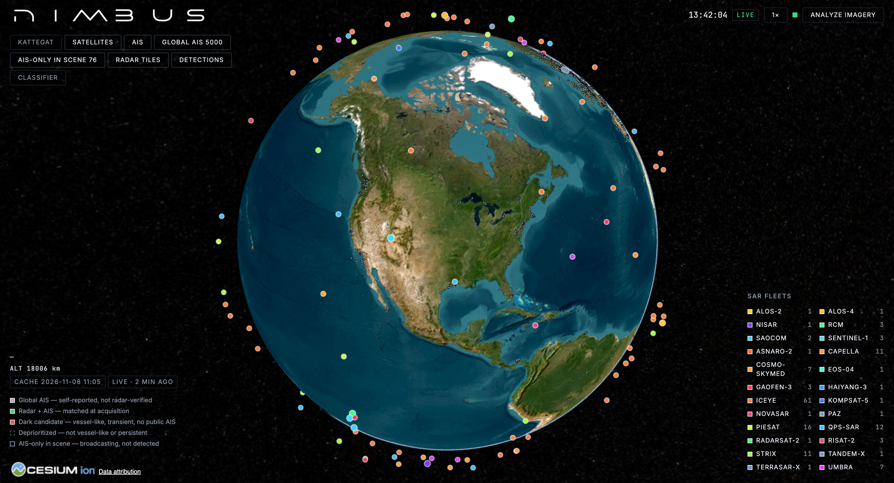
Around this sits a live 3D globe of 151 SAR satellites with their swaths and coverage gaps, AIS-reporting ships worldwide for context, and an Analyze Imagery page where any SAR image or GeoTIFF can be uploaded and its ships boxed.
How we built it
- Orbits: CelesTrak elements propagated with SGP4 in Python and satellite.js, rendered in CesiumJS. Our predicted Sentinel-1D pass over the Kattegat matched the real image's timestamp to within about one second.
- Imagery: terrain-corrected Sentinel-1 scenes from Microsoft Planetary Computer, read as windowed cloud-optimized GeoTIFFs and served as zoom-able radar tiles.
- Detection: a CA-CFAR detector proposes bright returns, and a ResNet-18 we trained in Google Colab on LS-SSDD-v1.0 classifies each 64×64 chip. We trained on the detector's own false alarms as hard negatives, split data by scene so test scenes were never seen, and exported to ONNX for CPU inference.
- AIS: Danish Maritime Authority records interpolated to acquisition time and matched one-to-one within 3 km, plus live global positions from AISStream, cached with a fallback snapshot.
- Reports: the Gemini API receives a structured record of each candidate (match results, classifier score, persistence verdict, satellite passes) and writes the case-file report. It is instructed to use only those facts and to make no claims about intent or wrongdoing.
- Platform: FastAPI and DuckDB, deployable as a Databricks App.
Results
- On five held-out Sentinel-1 scenes, the classifier keeps 96.8% of ships while rejecting 88.6% of detector false alarms and 99.5% of open sea (average precision 0.981).
- On a real Sentinel-1D scene of the Kattegat from 2 November 2026, it recognized 17 of the 18 ships that AIS independently confirms. The one miss was moored 500 m from shore.
- Of three unmatched returns, one proved to be a permanent coastal feature and was set aside. Two remain: transient, vessel-like, and with no public AIS within 5 km for the hour around the pass.
Challenges we ran into
- Our first classifier scored well for the wrong reason: most of its false-alarm examples sat on black no-data borders, which it learned to reject trivially. We removed those ships from every class and retrained. The headline number dropped and became one we can defend.
- An early statistic said 29 of 29 AIS silences began in a coverage gap, but radar sees any spot for only minutes a day, so chance predicts that. With a proper baseline, well-patrolled Danish waters show no pattern beyond chance (p = 0.65), and we report it that way.
- A model trained on 8-bit imagery from 2020 had to work on a 2026 scene. Resampling to the training resolution (10 m) and matching sea brightness made the transfer work.
- Radar shows a ship and a lighthouse the same way. Comparing the same spot across nine days of passes was the simplest reliable way to tell them apart.
Accomplishments that we're proud of
The pipeline checks its own work. The detector, the classifier and the persistence test each removed a false lead, and every claim in the interface and the report carries its source and its limits.
What we learned
How SAR images form and why ships appear as bright crosses. That evaluation design (scene-level splits, thresholds chosen on validation data, chance baselines) mattered more than model size. And that the most useful answer an enforcement tool can give is sometimes "not enough evidence."
What's next for Nimbus
- Train on xView3-SAR, the dark-fishing benchmark built on the same sensor.
- Watch areas that analyze each new pass automatically and alert on dark candidates.
- Global AIS history through Global Fishing Watch, so comparisons work beyond Danish waters.
Responsible use
Missing AIS is not evidence of wrongdoing. Small boats are not required to carry it, state vessels often don't broadcast, and reception fails. Nimbus ranks candidates for human review and never labels a vessel as illegal.
Prohibited for commercial use
- We trained on LS-SSDD-v1.0 because it matches our sensor and fits a 24-hour build. The production path is xView3-SAR.


