-
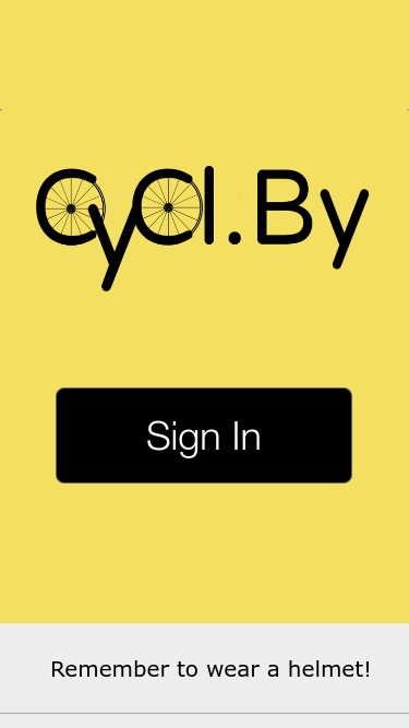
Title
-
Base
-
Areas
-
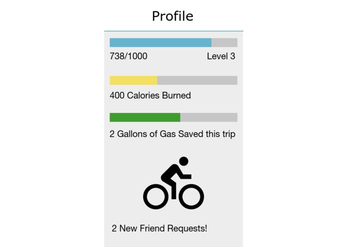
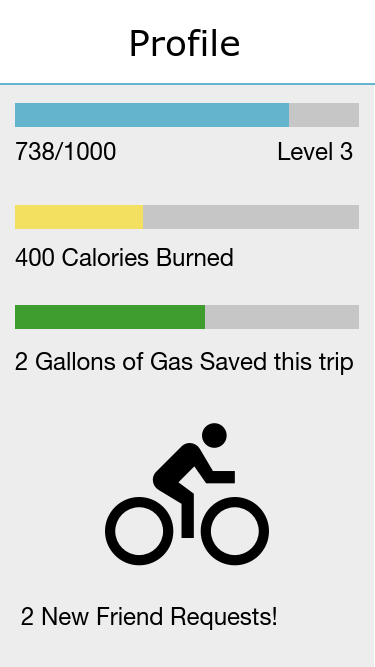
Profile
-
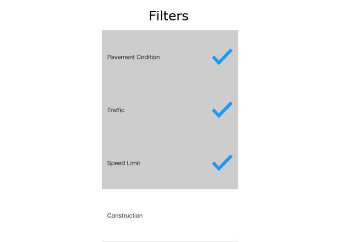
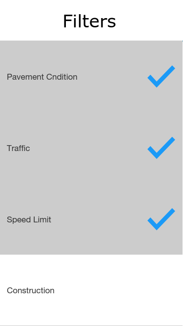
Filters
Inspiration
Our team are all Richmond locals that are avid bikers and use biking as a main mode for transportation. We believe that others could benefit from a common phone application that helps bikers get from point A to B as easily and safely as possible.
What it does
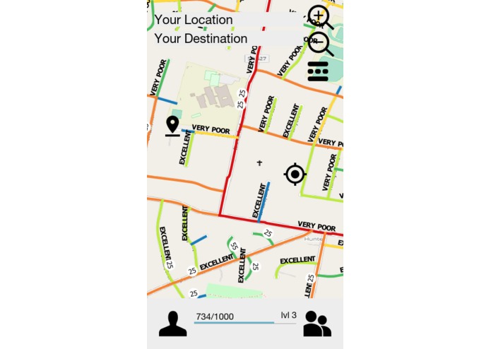
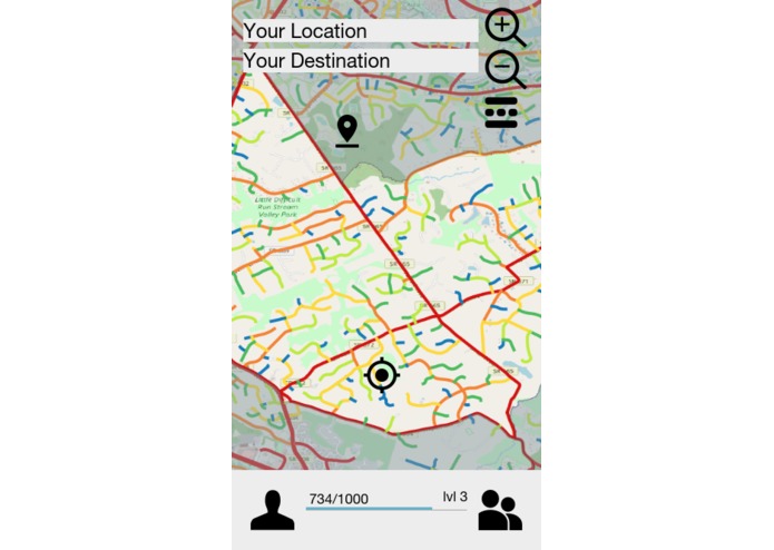
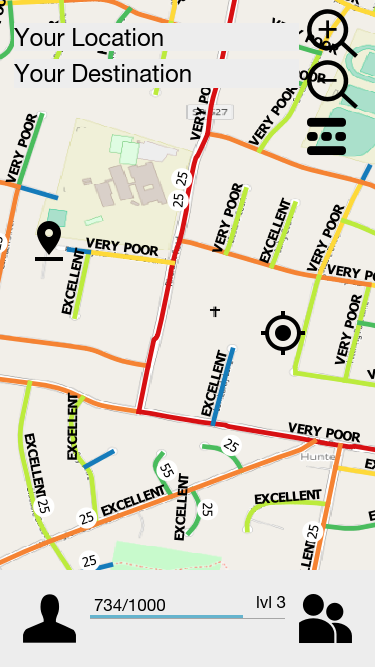
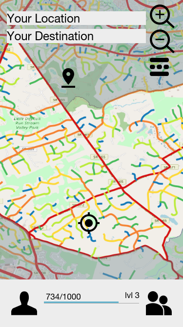
Cycl.By is a biking companion app that aids bikers and in traversing local areas safely and efficiently. The application makes uses of several SmarterRoads data sets to optimize biking, including traffic, construction, speed limit and pavement conditions. With these data sets, the app will show users what the best route for a biker to take, so they can avoid heavily trafficked areas and poor roads.
How we built it
We Used several of VDOT’s Smarter Roads data sets including yearly traffic, pavement conditions, construction projects and speed limits. Using the program QGIS, we were able to compile all of this data into one map, and display it in way that would be useful to a biker.
Challenges we ran into
We had trouble determining how to integrate various data types into a single visual representation while also making the application look as appealing and easy to read as possible.
Accomplishments that we're proud of
Consolidating the relevant data from VDOT’s Smarter Roads data portal into a readable and customizable filter based map.
What we learned
None of our team had any experience in the transportation industry prior to this event. We learned about many of the standards and the problems involved with integrating new technology into the current infrastructure.
What's next for CyCl.By
The next step in this project would be to fully integrate the Smarter Roads data into our own map system, as a way to have full control when transfering into a truly mobile platform.
Built With
- qgis
- smarter-roads


Log in or sign up for Devpost to join the conversation.