Inspiration
Those who have been affected by natural disasters and increased extreme weather events.
What it does
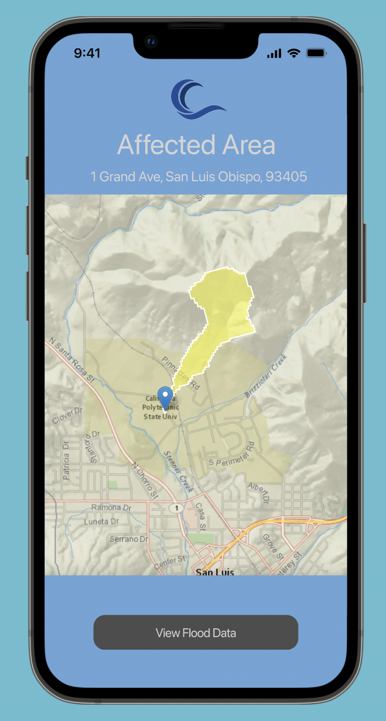
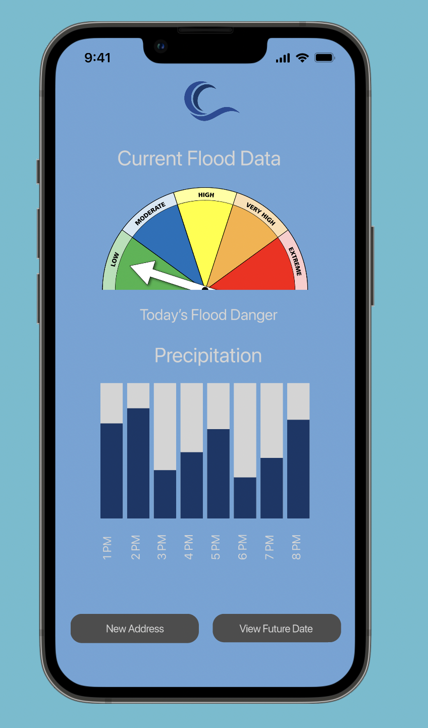
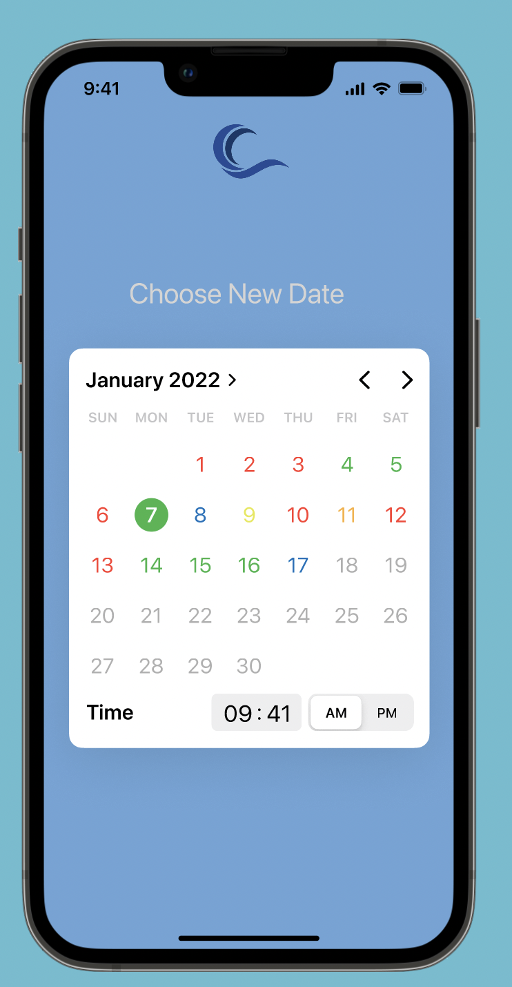
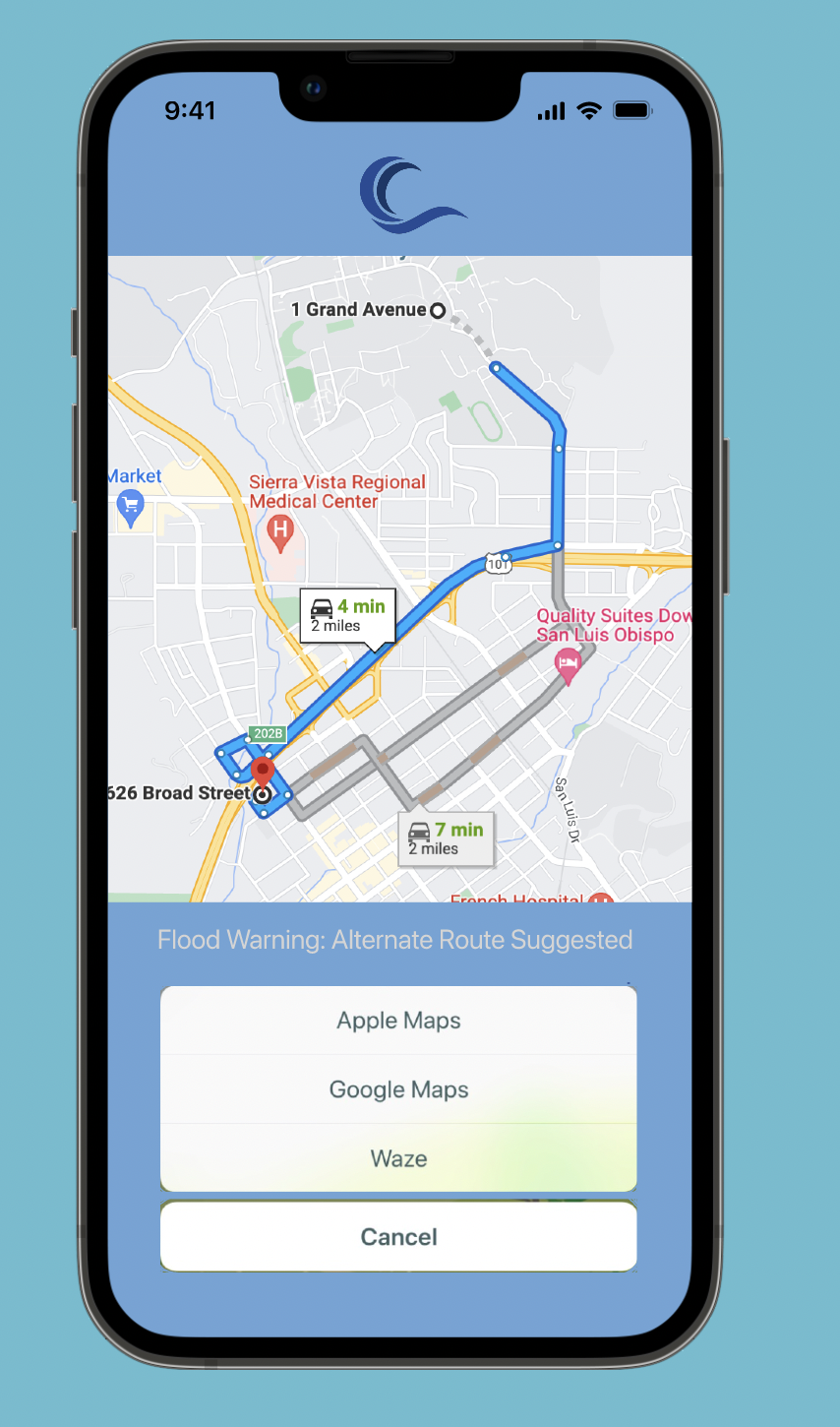
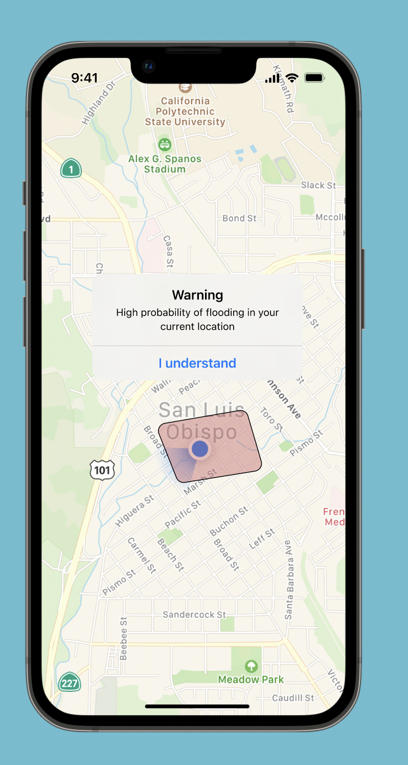
Compiles and integrates past flooding and current precipitation information to create a model of future flooding events for specific geolocations. Congregates all the pertinent data into an app where it is easy to digest.
How we built it
This is more conceptual but is based on real data and software provided by the United States Geological Survey.
Challenges we ran into
We did not have enough time to produce a basic demo product given the complexity and time required for this service.
Accomplishments that we're proud of
Narrowed down solutions for flooding issues to a single, realistic approach that could be created with today's tools and data. We are proud of our concept and presentation.
What we learned
Flood data is available and ready to be used but is hard to access and digest for most people, including the general public.
What's next for Current Flood Watch
Use APIs provided by USGS to create precipitation and flooding models based off geolocations and pipe the data into an app with a simple interface.
Built With
- figma
- usgs-waterservices

Log in or sign up for Devpost to join the conversation.