Inspiration
Indian farmers often face challenges in crop monitoring due to fragmented land holdings and diverse cropping patterns. Traditional survey methods are expensive and slow, while global crop classification models don’t generalize well to Indian conditions. Having previously worked with Google Earth Engine to identify crop and land types, I was inspired to extend that idea into a scalable, AI-powered solution that farmers and policymakers can actually use.
What it does
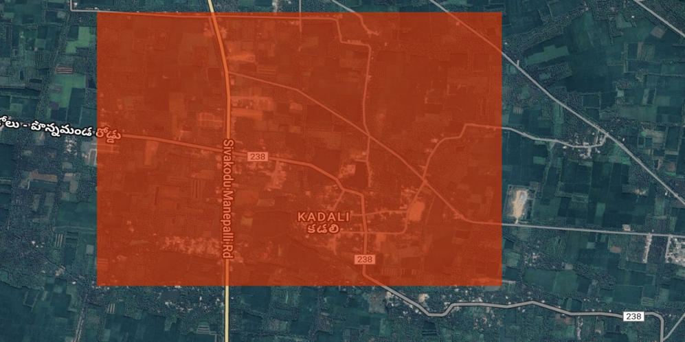
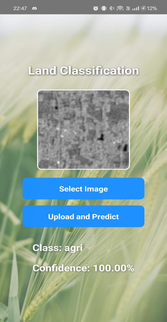
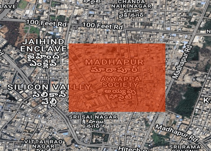
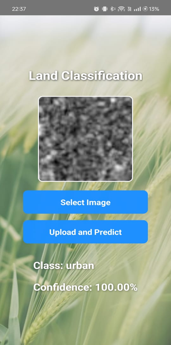
CropSight is a solution that uses satellite data (Sentinel-1 SAR, Sentinel-2 multispectral, and ResourceSAT) to identify different crop types in agricultural fields. It: Classifies crops at the field level across multiple Indian states. Integrates the predictions into a React Native mobile app, where users can select a region of interest and instantly view the predicted crop type. Provides a scalable and accessible way for farmers, researchers, and policymakers to make informed agricultural decisions.
How we built it
Preprocessed satellite imagery using Google Earth Engine (GEE) for spectral and SAR features.
Trained crop classification models (Random Forest / XGBoost, with potential for fine-tuned geospatial foundation models) using the AgriFieldNet India dataset and additional ISRO datasets.
Built a backend pipeline to serve predictions, aligned with the hackathon’s Kaggle + GitHub workflow.
Developed a React Native app that visualizes results on mobile devices, making insights directly accessible.
Challenges we ran into
Handling fragmented, small-scale farms with mixed cropping practices.
Preprocessing large volumes of satellite imagery efficiently.
Integrating SAR + multispectral data into a single robust model.
Designing a mobile interface that balances simplicity with technical accuracy.
Accomplishments that we're proud of
Successfully combining satellite data + machine learning + mobile app in one solution.
Making crop classification accessible to non-technical users like farmers.
Creating a pipeline that can be extended to yield prediction, advisory services, and smart agriculture initiatives.
What we learned
How to fine-tune machine learning models for geospatial applications.
Best practices in preprocessing and integrating different types of remote sensing data.
The importance of user-friendly deployment (mobile + cloud) in real-world impact projects.
What's next for CropSight
Expand coverage to more states and crops across India.
Incorporate yield estimation and climate risk analysis alongside crop type classification.
Collaborate with agricultural agencies for real-world deployment.
Open-source the pipeline to support the community of researchers and developers working on AI for agriculture.
Built With
- express.js
- github
- google-cloud
- google-earth-engine
- javascript
- kaggle
- node.js
- python
- react-native
- scikit-learn
- sentinel-hub-api
- tensorflow

Log in or sign up for Devpost to join the conversation.