-
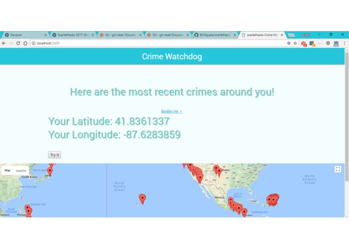
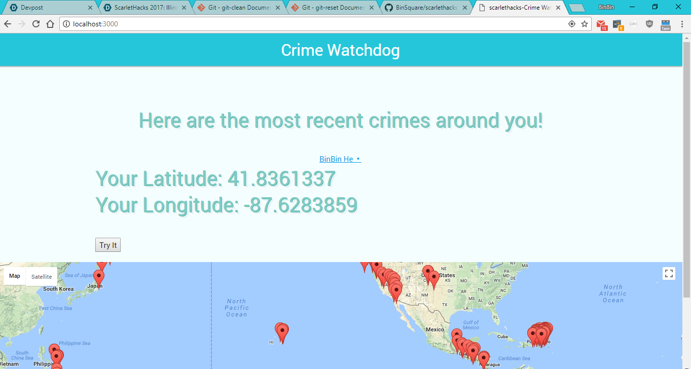
Shows the functional app, but with a large distance for testing.
Inspiration it makes me feel safe to know which areas to avoid if there's been a recent crime.
What it does it calculates a bounding box of a select diagonal distance from your GPS signal and informs you of recent crimes occurring in that area.,
How I built it by crying and struggling through.
Challenges I ran into.. everything was a challenge, everything took longer than I thought and getting data from the chicago website was incredibly difficult because their api was giving back an error.
Accomplishments that I'm proud of, I'm finally done with my first hackathon and it was a grueling experience. Two of my teammates left mid session and the remaining member and I decided to split because of differing ideas. I remain convinced that the hardest part about programming and work in general is going to be about the people I work with - not the work. Though, I am someone who loves to solve problems and revel in overcoming challenges.
What I learned there's free food at hackathon and there's an immense amount of knowledge that I can learn in a short period of time. I've been learning to use meteor and javascript in general for more than a year now and I believe I learned more in the last 24 hours than I have in my last 6 months by falling on my face and learning from it in order to make the deadline.
What's next for Crime Watchdog? Probably continued development and open sourcing the project, I think there's a future for it and I believe that it has opportunity to make the future a little better.
I would like to be in consideration for Scarlet Hacks, best use of backend, the coleman contest, designation, data science, civic tech, and the lyft competition.
I also qualify for best backend because meteor has a great relationship with mongoDB a nosql system and one of the most widely used way. I activated the database with importing of mongo into the project.
my submission qualifies for lyft because my app can affect people's perception of certain routes they may want to take which can result in them taking a lyft instead of walking through a perfect crime hot spot because of the recent crime locations!
My submission also qualifies for the data science competition because of the manipulations in place for calculating a bounding box with a 25 miles diagonal distance using a one latitude and longitude data point. The bounding box came from a spacecraft dynamics formula where it was apparently used on satellites to get a bounding box (the formula was found on stack overflow). The results are attached as a csv file to the project by skimming to look at the latitude and longitude of the results reveal that the formula was very effective in picking out a boundary box with 25 mile diagonal.
My submission for coleman contest descriptions: Problem : Information about nearby crimes are not communicated well, leading to an increased risk for civilians travelling through at-risk areas. The users: The people who feel at risk and wants to avoid recent crime hot spots in which ever way possible, and that might lead them towards using lyft or uber just to get out of a perceived crime hot spot. People who will pay: The advertisers who are selling security products to people who come to the website because they're feeling vulnerable. The policeman who will be able to use this resource to improve their coverage to prevent further crimes! My solution: The people feel vulnerable because they don't have a comprehensive resource telling them where the recent crimes are taking place. My app displays the locations where recent crimes have taken place so they can take different routes to avoid the crime hot spots and feel safer.
My submission for best domain name is : thepenismight.com
I should note that although I was unable to get the chicago's crime dataset to work, the example dataset offered by google demonstrates the overall functionality of the program which is to display the positions of crimes and plot them on the map.

Log in or sign up for Devpost to join the conversation.