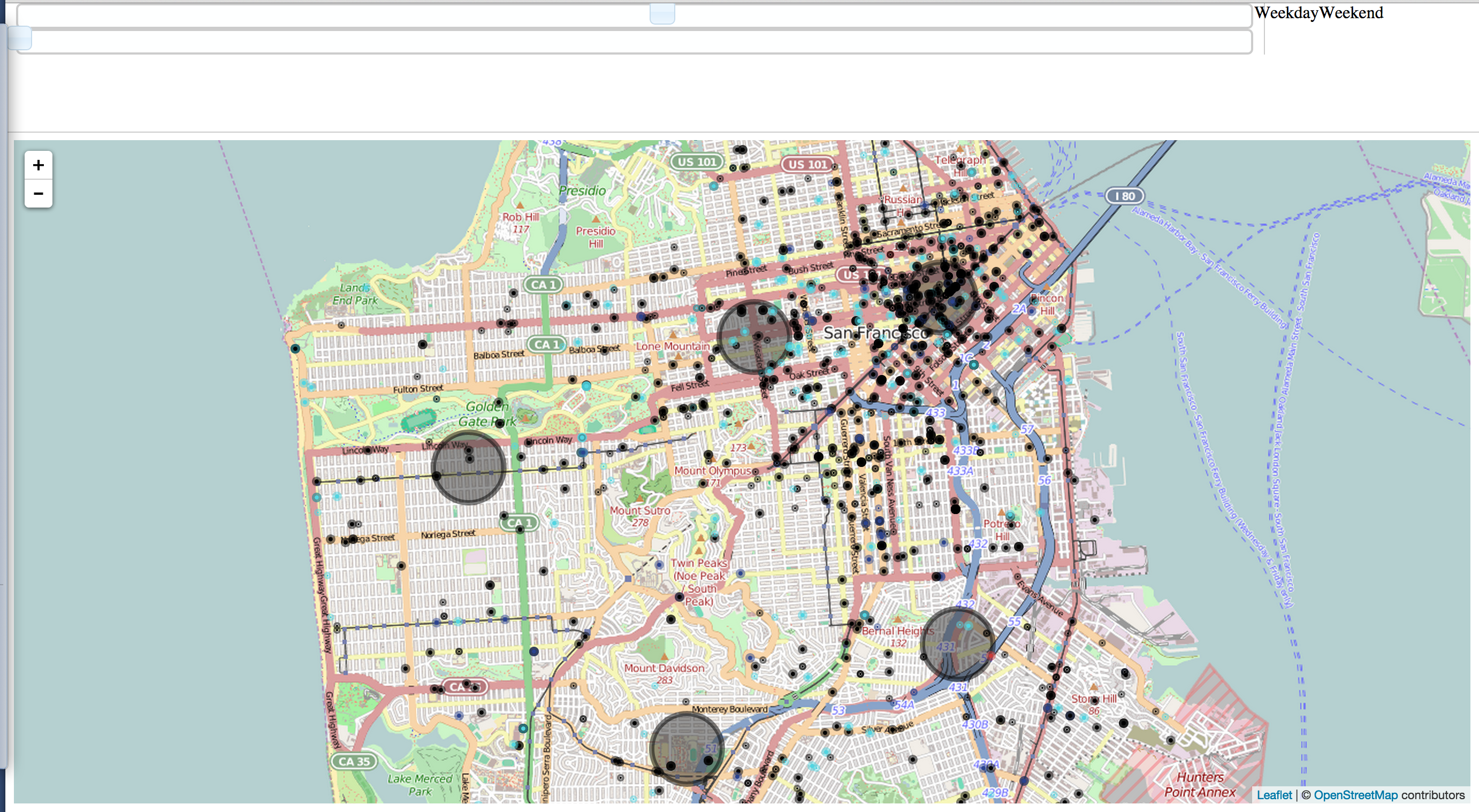
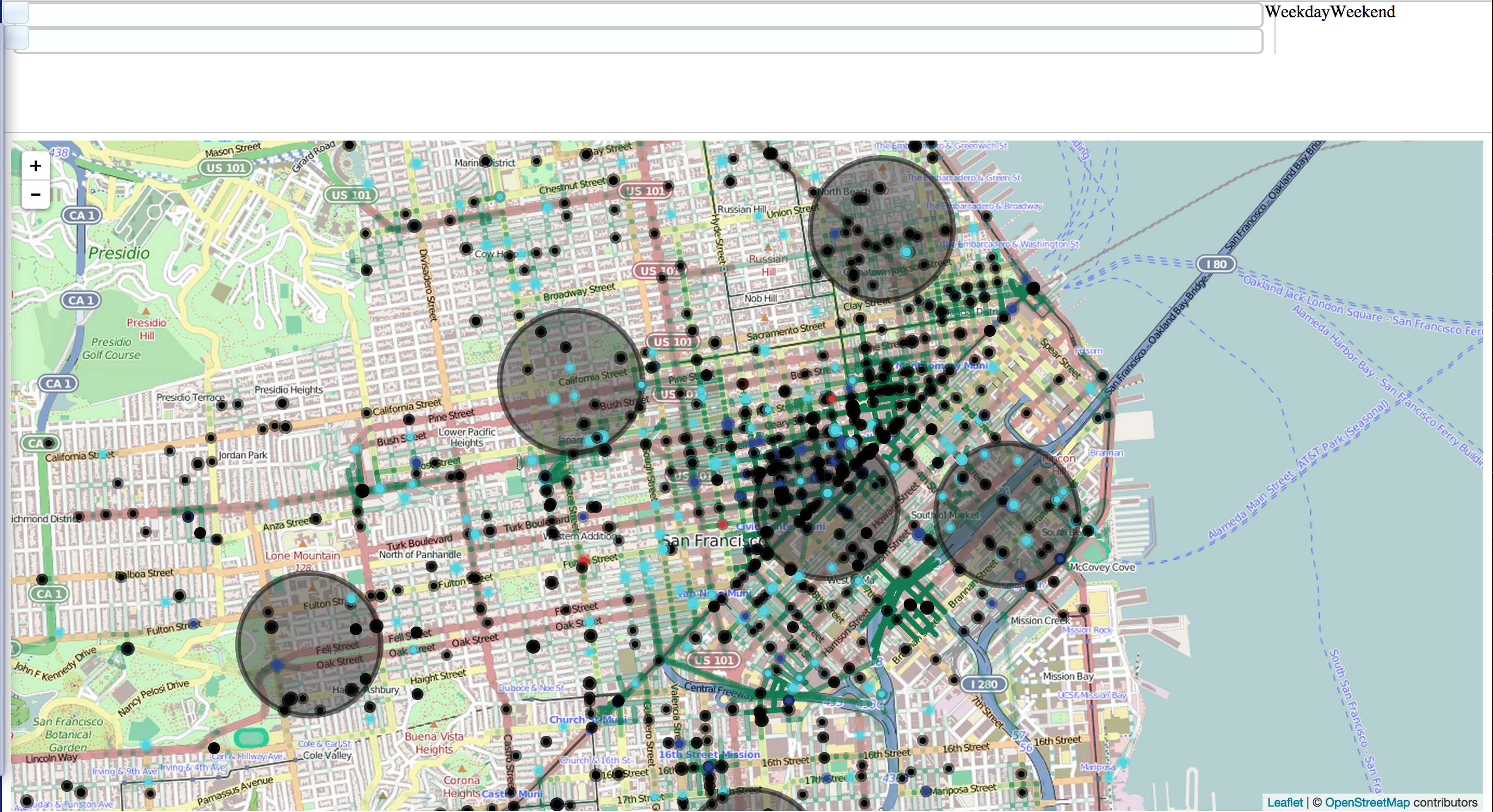
Crime data can and should be used to optimize resources of law enforcement. By using crime data in San Francisco we constructed several useful tools to assist law enforcement. We also created "danger metrics" for the streets of San Francisco that can be utilized by the public.
Below are the specific aspects of the projects:
Specifics: 1) Map of San Francisco with a user interface to display crime for any hour of the day on a weekday or a weekend.
2) Crime display interface to differentiate types of crime.
3) Optimal police staking positions so the response time to any occurring crime will be minimized.
4) Optimal route for law enforcement to patrol; utilized random walk based clustering and minimum spanning trees.
5) Danger levels for different times of day for the streets of San Francisco.


Log in or sign up for Devpost to join the conversation.