-
-
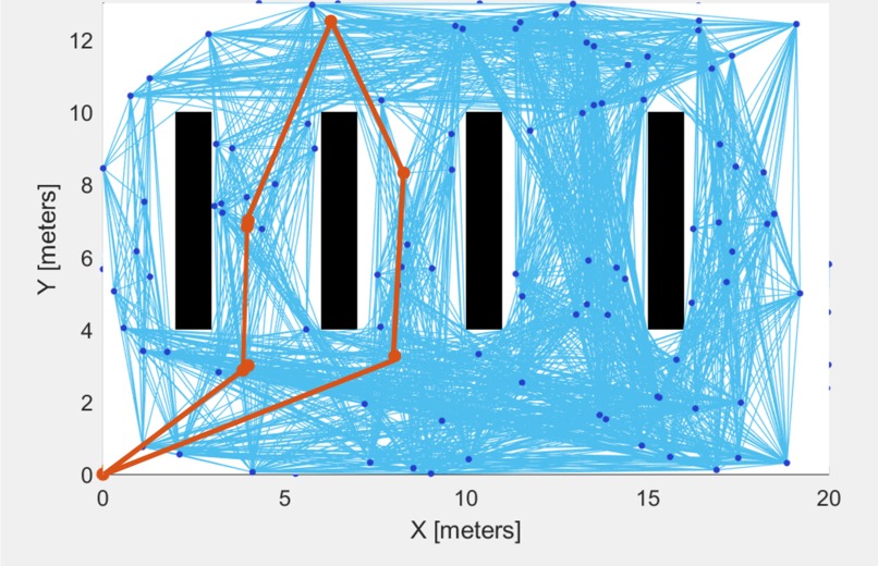
Example of the Path Solver
Inspiration
What it does
This app, in efforts to deal with COVID-19, helps to create an environment such that people are able to get their groceries as fast as possible with minimal interaction within the store.
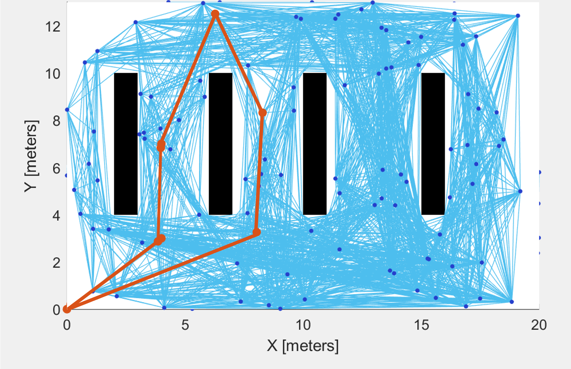
The app takes a JPEG image of a store layout and converts it into a binary occupancy image, which allows us to determine the store layout and locate the different shelves. The user interacts with a GUI that allows users to input their shopping list. From the shopping list, the program will use a mapping algorithm to find the locations of each item based on their mapping status (i.e. "Milk is stored in A5", etc.). Finally, using MATLAB's Probabilistic Map feature, the program will generate a route for the user to go through to optimally collect all the necessary items and leave the store in a jiffy.
How We built it
We used MATLAB to program this app due to MATLAB's amazing toolboxes and libraries. MATLAB also has a simple App Design add-on, which allowed us to build the app without much trouble.
What We learned
We learned A LOT more about MATLAB and the wide range of functionality it has, from app development to image processing.
What's next for COVID In-Store Tracker
Next up, incorporating contactless checkout AND heat maps for further optimization!


Log in or sign up for Devpost to join the conversation.