-
-
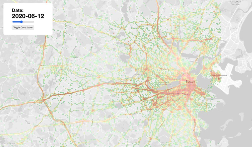
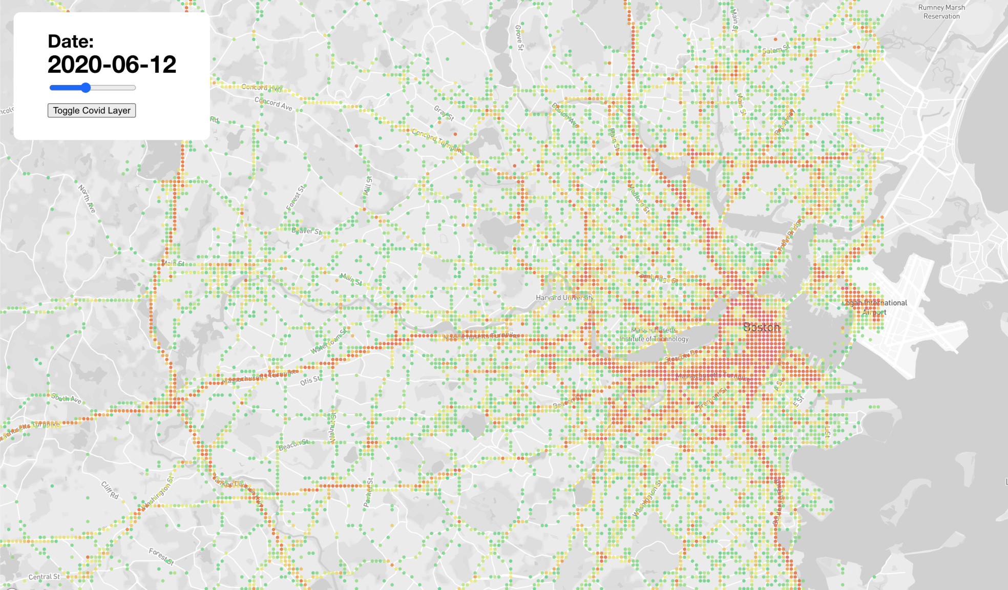
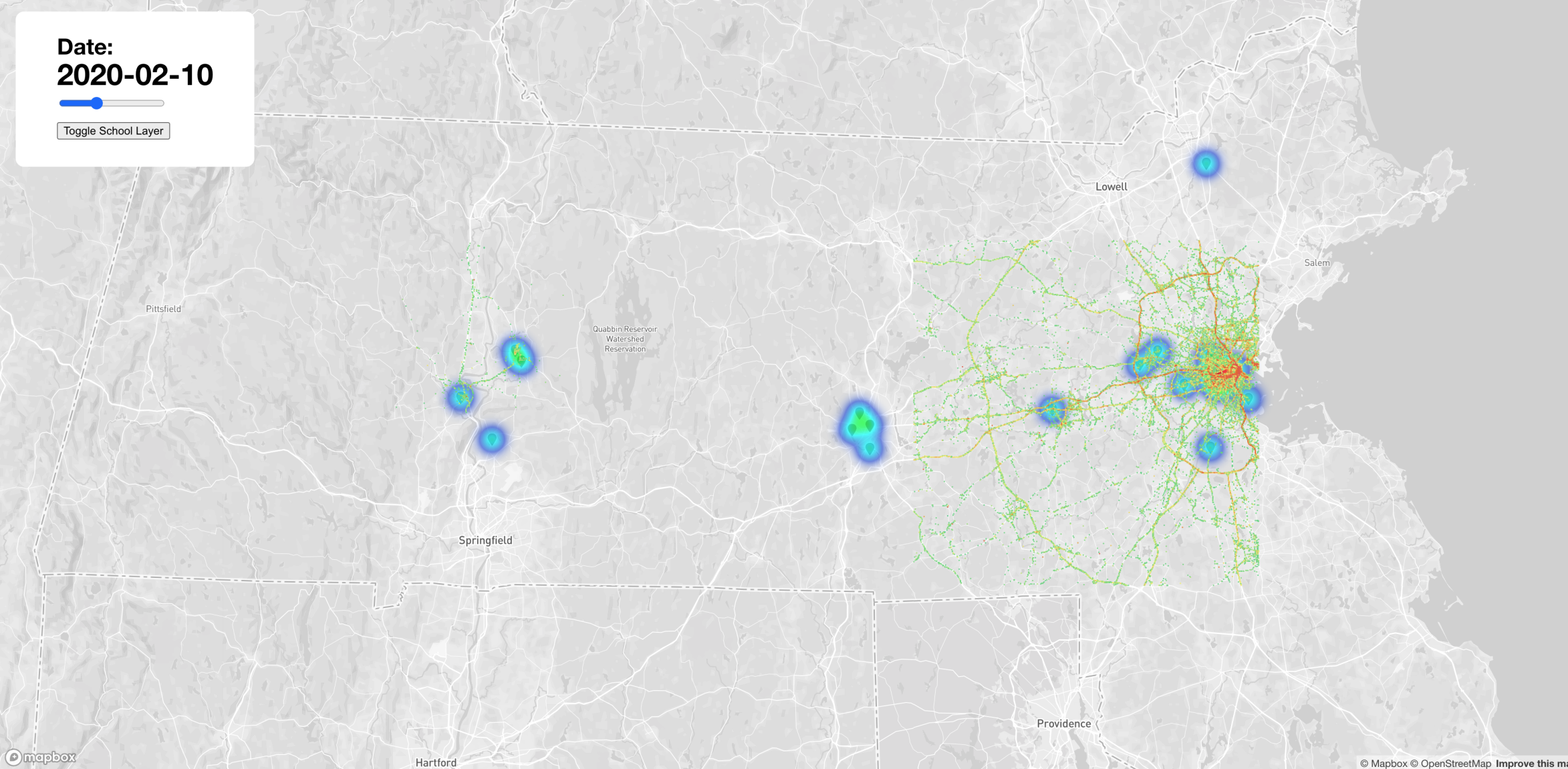
Movement data in Boston.
-
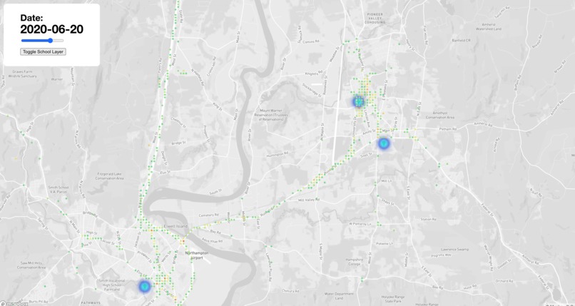
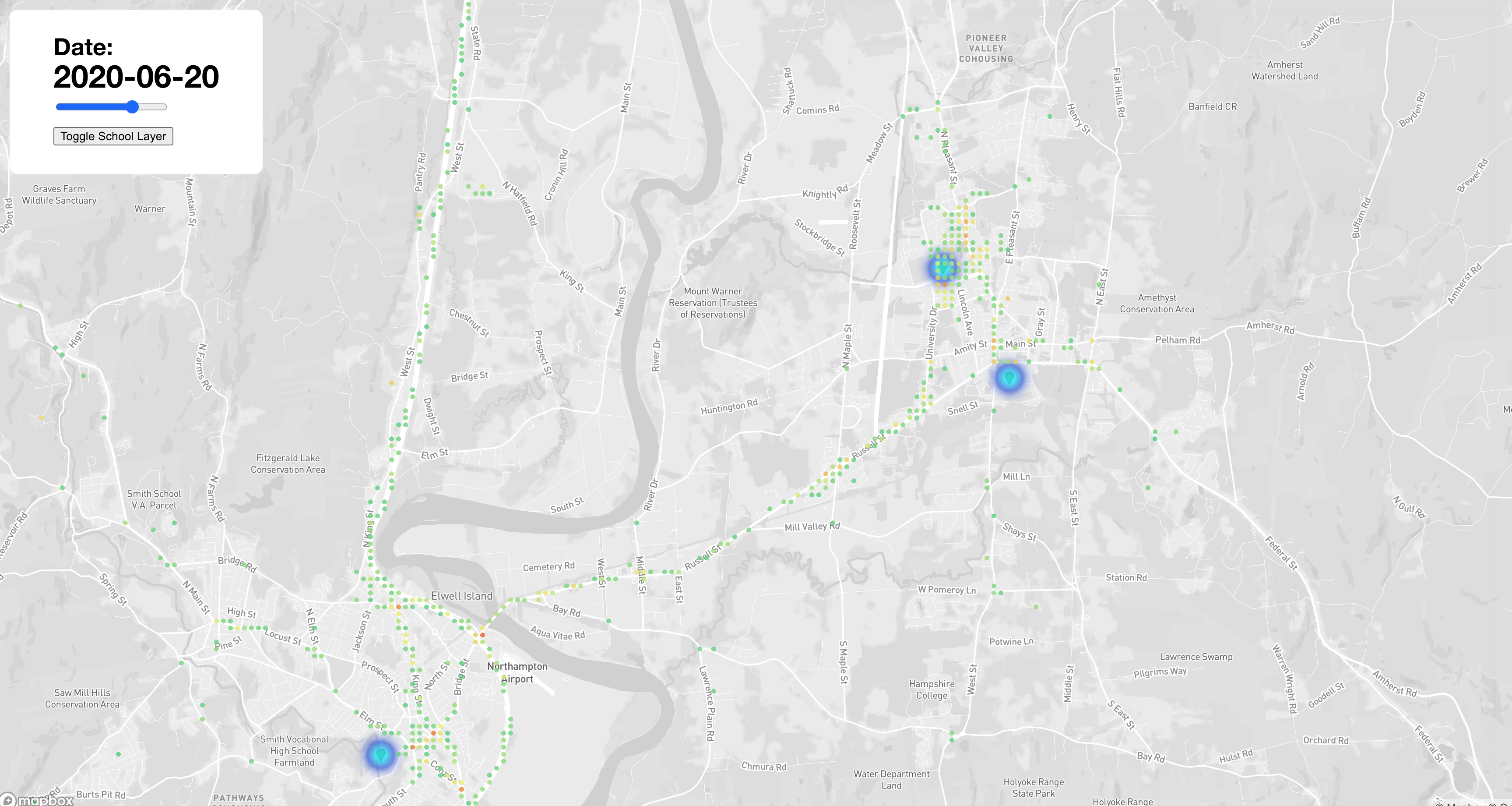
Movement data in Amherst area.
-
Movement traffic (people,phones, etc) in Amherst and Boston.
-

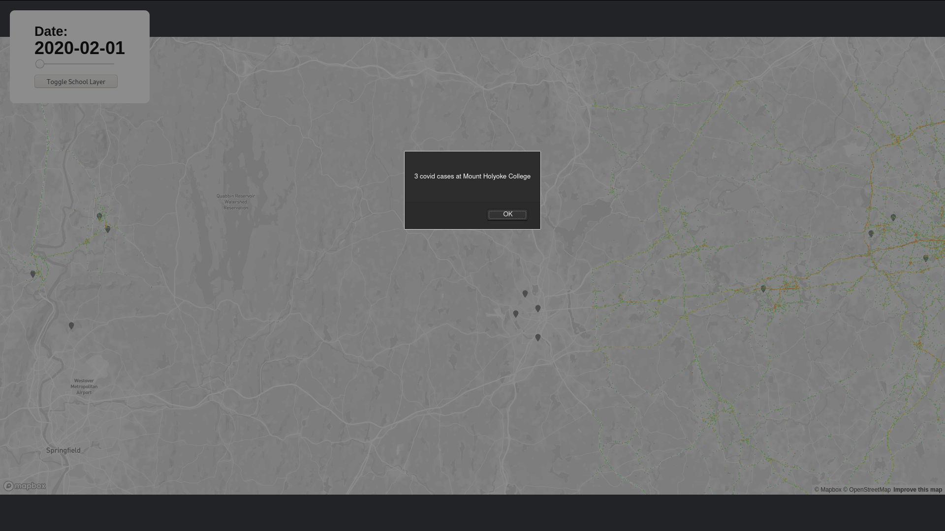
Markers indicating Universities with high cases.
-

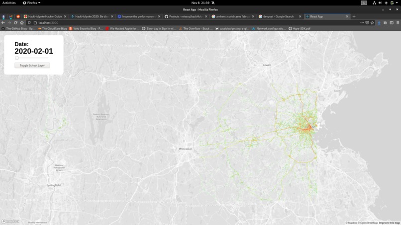
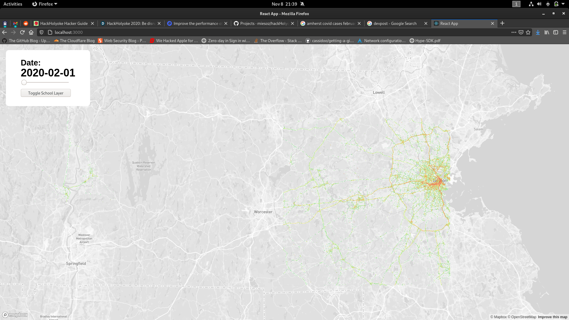
Markers displaying heatmaps.
-
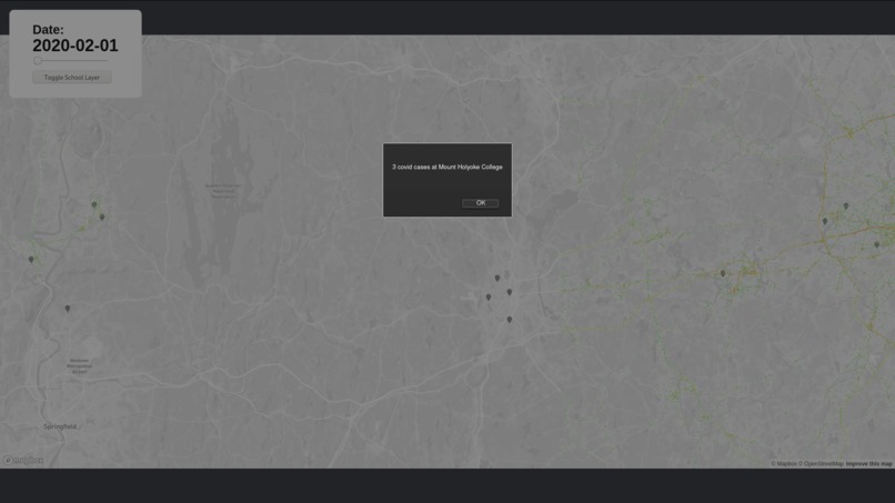
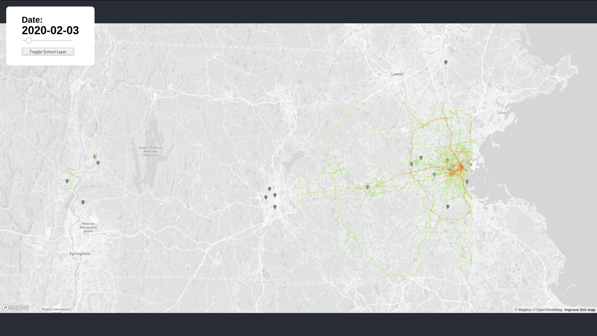
Markers display information when clicked.
What it does
We want to help people that needs to get out of the house predict their traffic. And nowadays, traffic means people. We want to make sure that people can know the food traffic of their location, so they are aware of what they are getting into when going outside. Kinda like google maps, but to asses your risk of catching coronavirus.
How I built it
We built it by forking a whole lot of data (70 GB worth!) from a company called Mapbox, that tracks people's phone activity and sorts areas by their activity index. We created the app using React and preprocessed the data using Python and the pandas library.
Inspiration
We were inspired by Snapchat's Snapmap features and how it features 'high activity areas on the map.
Challenges I ran into
The main part that we ran into was importing the data, and in the end we coudn't get the statewide data of Massachusetts like we planned to, because it was simply too much data. We also had problems implementing the map components at first, but we got through that pretty quickly.
Accomplishments that I'm proud of
We got our app to work! This was more work than we thought and we ran into different obstacles, but we managed to pull through in the end.
What I learned
Companies track your data. Also, React is fun! Data preprocessing in pandas is also a lot easier than it seems.
What's next for Coronavirus Movement Mapper
More data and more data!


Log in or sign up for Devpost to join the conversation.