-
-

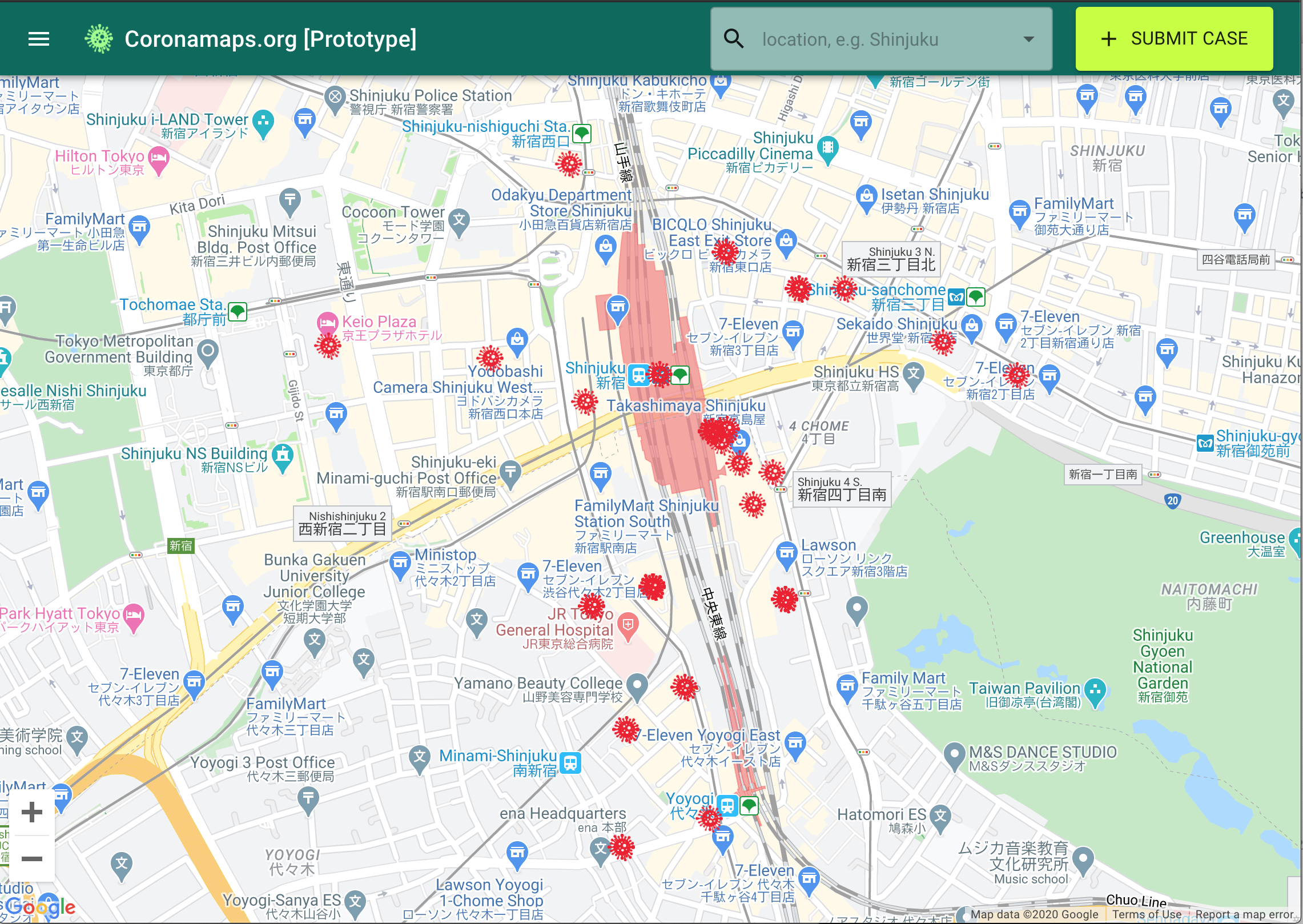
Covidmaps prototype
Inspiration
COVID19 Tracking and Transparency systems put in place in Asian countries that have been part of a wide-ranging strategy to stem the outbreak. See https://coronamap.site
What it does
- Users can type in their location to view locations where confirmed COVID19 virus cases had visited prior to quarantine
- Patients can anonymously self-report their location history using an easy to use form in less than 5 minutes
How I built it
React, Firebase, and Google Maps API For the UI of the map, a custom marker is needed to highlight the risk of being in a particular infected zone. Using Location History with the help of Google Maps, Firebase, users location were logged on a map. Custom coloured markers were needed to highlight the risk level and time elapsed since visit to risk zone. Custom markers assets were created using Figma and wrote a script to filter the timestamp data and load the respective markers.
Challenges I ran into
- Growth - How to grow adoption of this site to achieve critical mass
- Verification - How to weed out bad actors from spamming the site
- Reach out to help several project owners and and resolve some of the pressing issues.
- Learning - Learned GraphQL, Gatsby, React Native in several days.
Accomplishments that I'm proud of
Getting people excited about this project and informing people about what other countries are doing.
What I learned
- That it is possible for a grass-roots movement to have an impact on society at large.
- Working on a different time zone, with different team members
What's next for Covidmaps.org
- Finishing MVP
- Working with government and public health officials on the verification problem
- Working on a viral promotion strategy to raise awareness of the site
- Adding filtering feature whereby user able to filter through their marker based on risk level


")


Log in or sign up for Devpost to join the conversation.