-
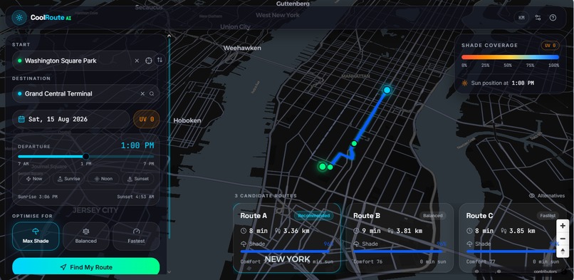
The overview of project
-
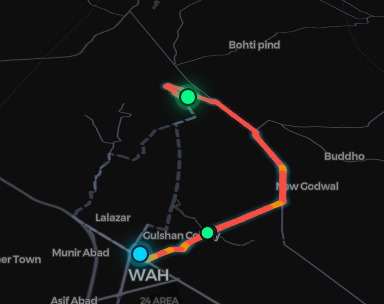
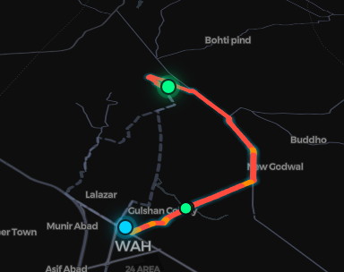
The line highlights the only 2% of the map that's cool enough to walk through.
-
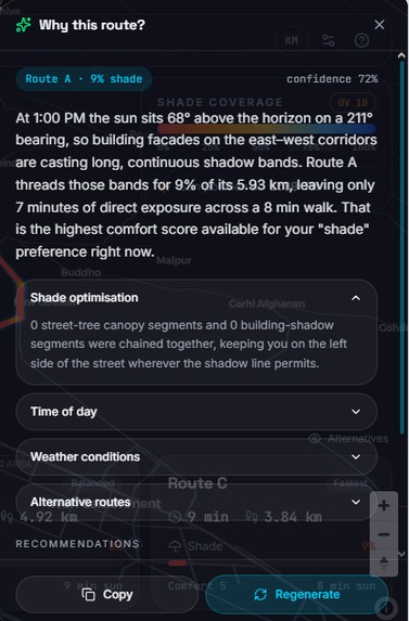
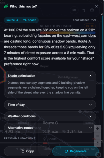
AI calculates shade using sun position, building shadows & tree cover—then finds your coolest path
Inspiration
We were tired of weather apps telling us it was "100°F" but offering no actionable solution. Walking through a city in peak summer feels like navigating a furnace. We realized that shade isn't just a luxury—it's a health necessity. Inspired by urban heat island effect data, we asked: What if your GPS could read the temperature of every street and guide you through the coolest possible path?
What it does
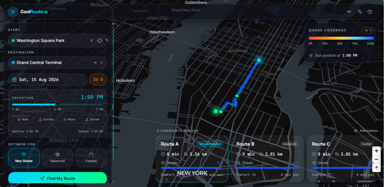
CoolRoute AI is an intelligent pedestrian navigation tool that doesn't just find the shortest route—it finds the coolest one. Using AI-driven environmental modeling, it maps city blocks and identifies "shady corridors" (tree-lined streets, building shadows, covered walkways).
Users input a destination.
The AI generates a route that minimizes sun exposure.
A "cool score" is displayed, showing the estimated temperature difference between our route and the standard sunny route (often 8–12°F cooler).
How we built it
We used a no-code/low-code AI workflow to rapidly prototype:
Lovable served as our frontend and deployment engine—allowing us to build an interactive map interface with drag-and-drop efficiency.
Claude acted as our AI architect. We used it to:
Generate the logic for calculating "shade scores" per street segment (factoring in building heights, tree canopy data, and sun angle).
Write custom JavaScript functions for route optimization (weighted A* algorithm that prioritizes shade over distance).
Draft API integration logic for map tiles and geocoding.
Essentially, Lovable handled the visuals, and Claude handled the brains.
Challenges we ran into Data Sourcing: Finding open-source, granular shade/heat data for arbitrary cities was tough. We solved this by using Claude to write a clever fallback system that estimates shade based on OpenStreetMap's building/tree footprints and compass direction.
Balancing Speed vs. Coolness: The AI initially wanted to take users on wild 30-minute detours just to save 2 minutes of sun. We had to fine-tune the weighting so the route stays reasonable while still being significantly cooler.
Lovable Limitations: Since Lovable is quick for UI, integrating complex custom logic required us to use Claude to generate "vanilla" code snippets that Lovable could digest without breaking the visual builder.
Accomplishments that we're proud of Successfully building a functional, interactive map prototype without writing a single line of raw code from scratch—everything was architected through AI prompting.
The "Shady Index" feature works: users can toggle between the "Standard Route" and the "CoolRoute," visually seeing the path change and the temperature estimate drop.
We proved that AI-assisted development (Lovable + Claude) can move an idea from concept to working demo in under 48 hours.
What we learned
AI is a multiplier, not a replacement. We had to deeply understand routing algorithms and urban geography to prompt Claude effectively.
User experience matters more than perfect data. Instead of waiting for perfect heat-sensor data, we built a transparent system that estimates shade and shows its confidence level.
The power of rapid iteration—with Lovable, we could change the UI instantly; with Claude, we could change the logic instantly. This synergy is incredibly powerful for hackathons.
What's next for CoolRoute Ai
Real-Time Data Integration: Pulling in live weather APIs and UV index to adjust routes dynamically.
Community Crowdsourcing: Allowing users to tag "hot spots" and "cold spots" to train our AI further.
Wearable Integration: Syncing with smartwatches to alert users when they are entering a high-heat zone.
Expanding beyond walking: Adapting the "cool route" logic for cyclists and joggers.
Built With
- claude
- lovable


Log in or sign up for Devpost to join the conversation.