-
-
-
-
-
-
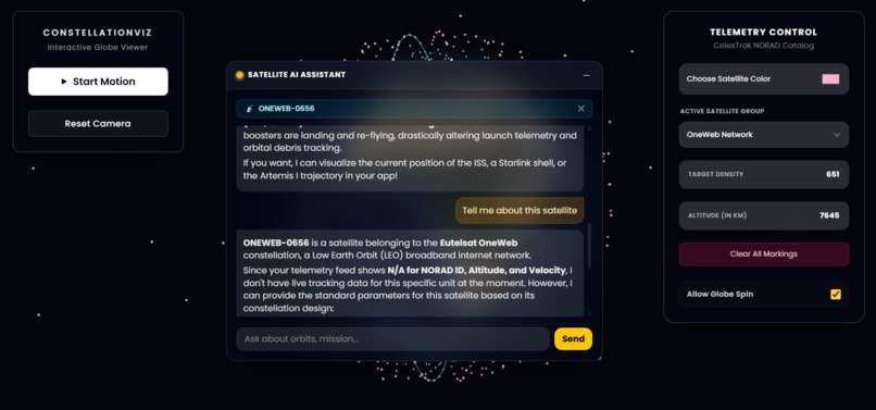
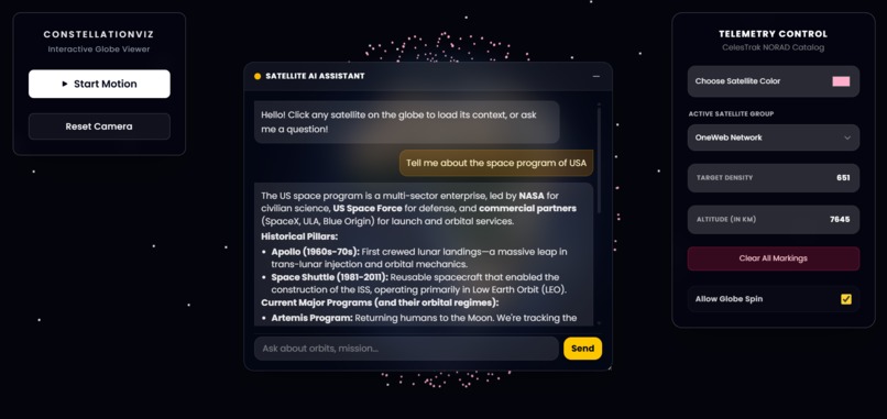
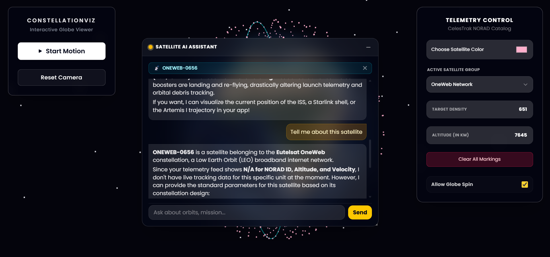
Clicking on a satellite wires up the satellite to the chat context
Inspiration
Throughout human history, satellite technology has changed the trajectory of our species—transforming global communications, climate monitoring, and deep-space exploration. While platforms like CelesTrak provide fantastic, up-to-date orbital telemetry datasets, they primarily offer raw data without built-in, real-time 3D visualization.
ConstellationViz was created to bridge this gap. Our goal was to take raw orbital telemetry and transform it into an intuitive, interactive, and AI-powered 3D visualization platform that brings satellite constellations to life.
What it does
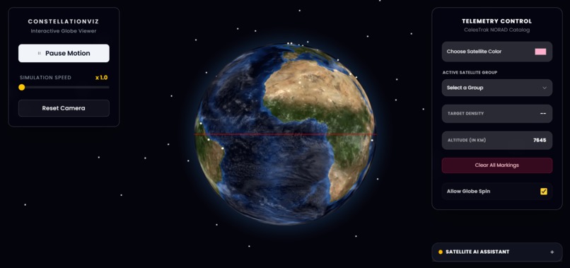
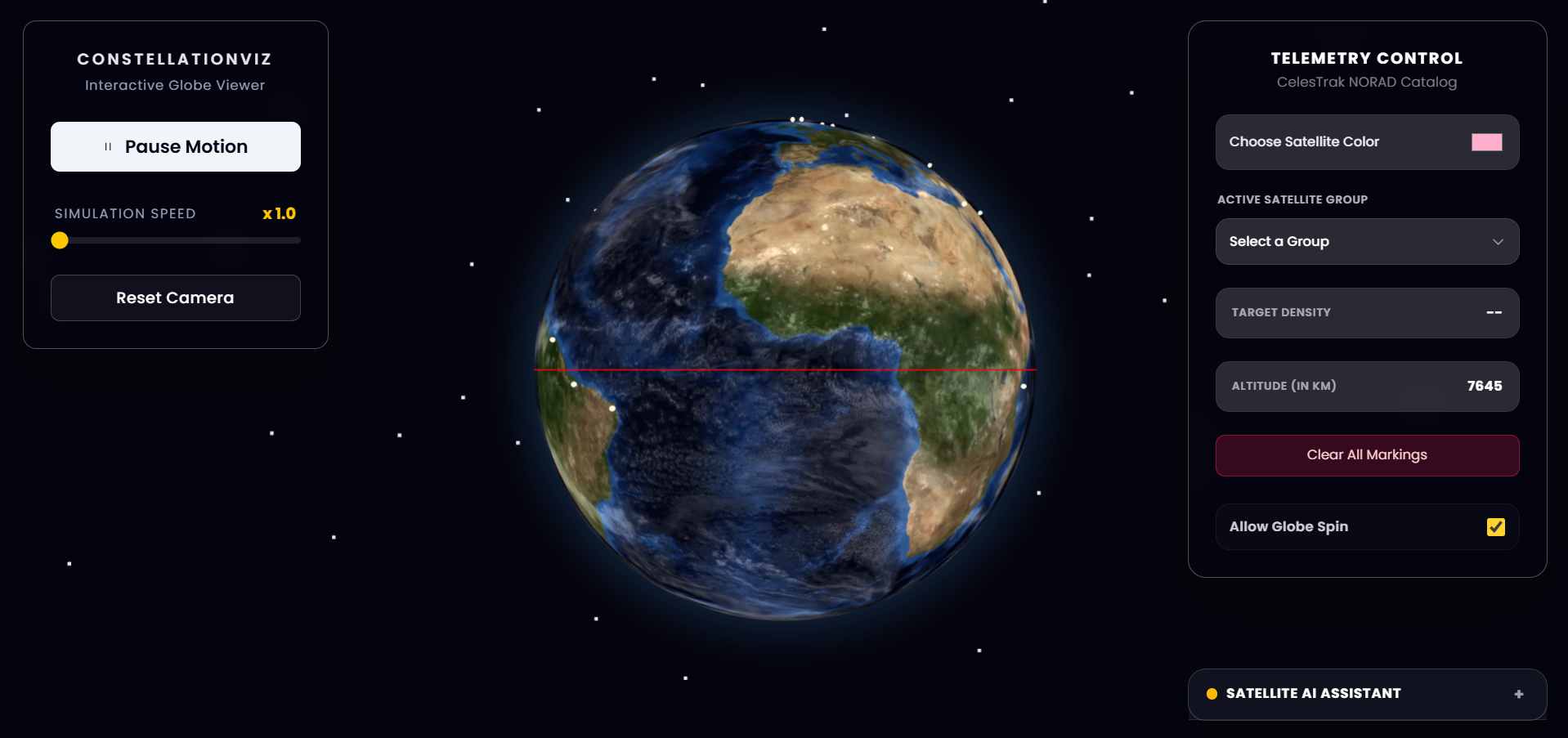
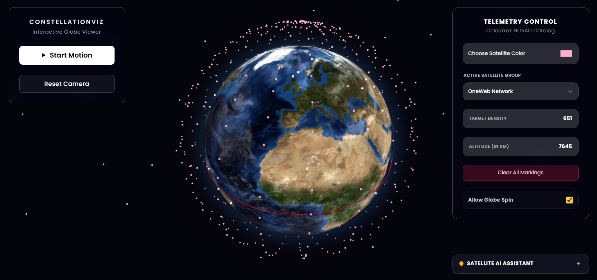
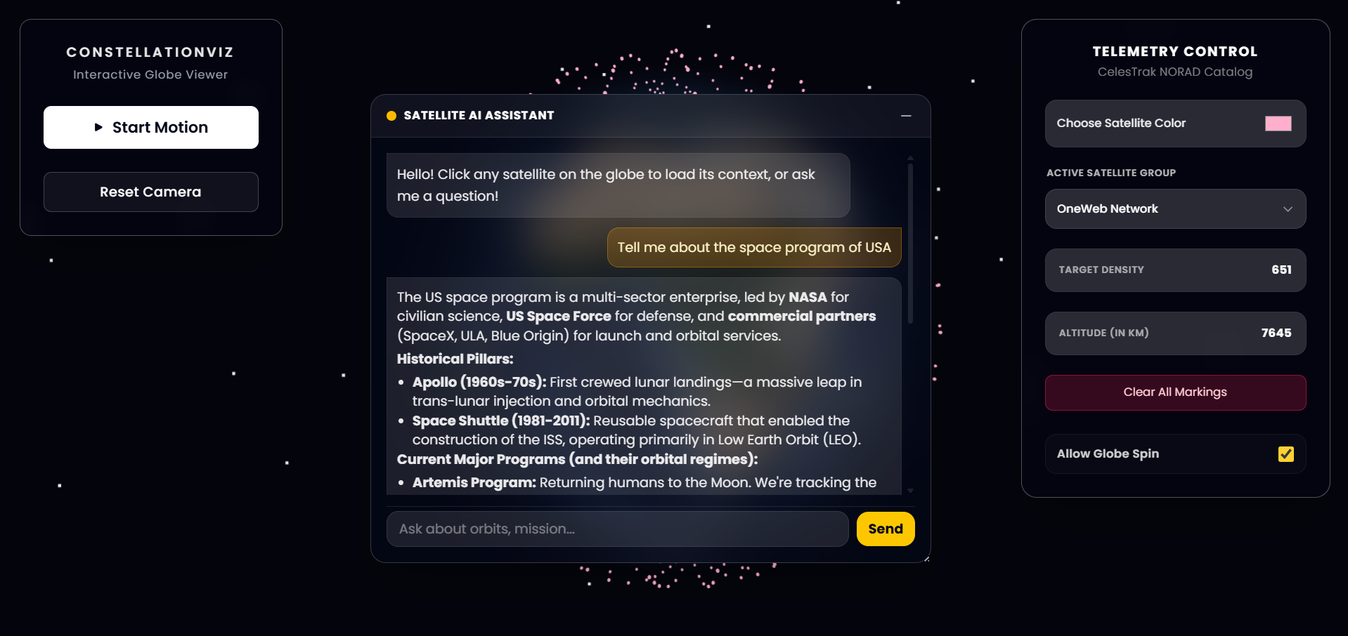
ConstellationViz is an interactive 3D web tool for tracking active satellite constellations and space infrastructure in real time.
Key features include:
- Interactive 3D Globe: Features active and planned global launch sites with hover details. Includes customizable simulation speed, auto-rotation, and camera reset controls.
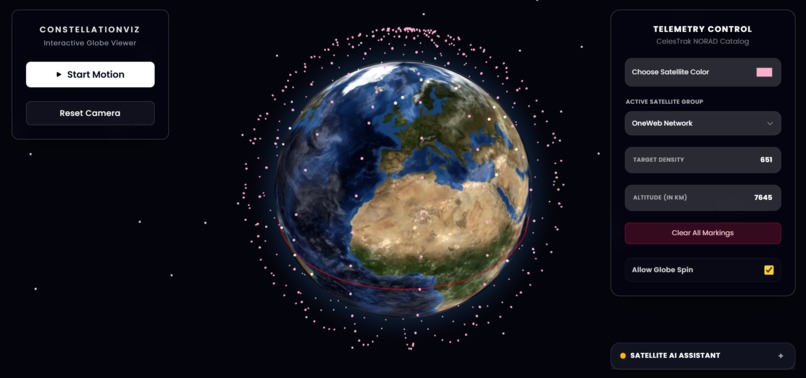
- Live Telemetry & Orbital Data: Fetches live satellite datasets (e.g., OneWeb and Starlink) directly from CelesTrak. Real-time metrics display the total number of active satellites, camera altitude, and constellation velocity.
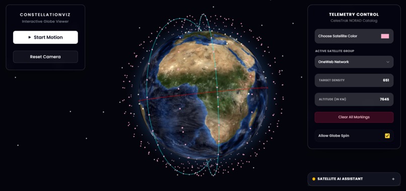
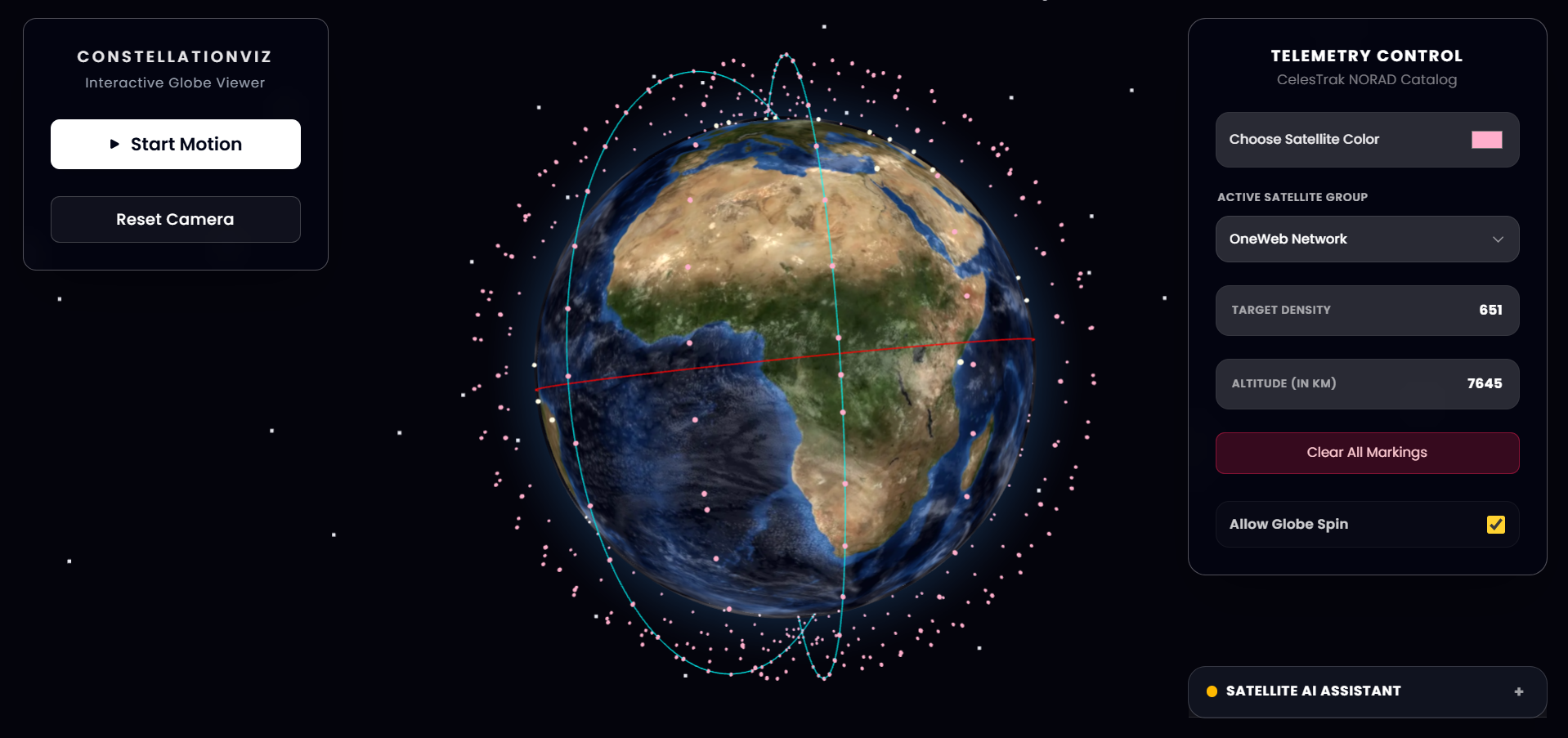
- Coverage Footprints & Trajectory Tracking: Double-click any satellite to render its live ground coverage area (footprint), or toggle its orbital trajectory around Earth.
- Context-Aware AI Assistant: Powered by the Featherless API, selecting a satellite automatically provides its telemetry and metadata as context to the chat system. Users can ask questions about satellite manufacturing, mission scope, or general space exploration.
- Draggable & Non-Intrusive UI: Provides a clean interface with a floating, collapsible, and draggable chat widget that doesn't obscure the 3D globe view.
How we built it
- Frontend & 3D Rendering: Built using modern web technologies, featuring an interactive 3D WebGL globe for real-time orbital and particle rendering.
- Real-Time Data Layer: Integrated CelesTrak APIs to dynamically fetch and parse live orbital telemetry whenever a constellation is selected.
- AI Integration: Integrated the Featherless API to provide LLM capabilities. Selected satellite parameters, including origin, telemetry, and mission type, are dynamically provided as context to generate relevant and accurate answers.
- User Interface: Engineered with draggable floating UI modules using lightweight NPM packages to manage panel visibility without obstructing spatial navigation.
Challenges we ran into
One of the challenges I faced was implementing data visibility on hover, as this was something I had never worked with before. I also had to think carefully about how to make the AI assistant context-aware, since initially I struggled to identify a meaningful use case for AI within a satellite visualization platform.
Accomplishments that we're proud of
Our biggest achievement was successfully binding the underlying satellite data with the UI to create a smooth and intuitive user experience.
What we learned
Building ConstellationViz deepened our understanding of orbital mechanics and satellite telemetry, particularly how to accurately project satellite coordinates, velocities, and orbital trajectories in a 3D environment. We also gained valuable experience in context-aware prompt engineering, learning how to structure live state variables and metadata to provide LLMs with precise context for domain-specific questions about space systems.
What's next for ConstellationViz
Looking ahead, we plan to support multi-constellation overlays, allowing users to track multiple satellite networks—such as GPS, Starlink, and OneWeb—simultaneously.
Built With
- html5
- javascript
- npm
- tailwind
- three.js


Log in or sign up for Devpost to join the conversation.