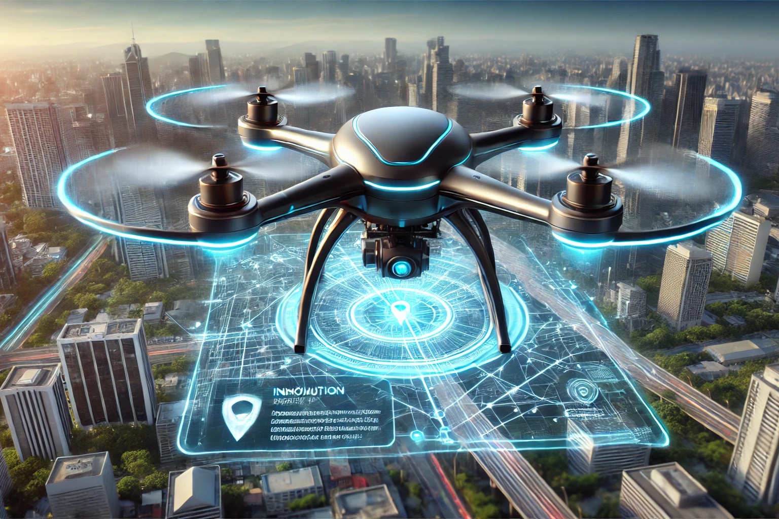
Creating a computer vision model for detecting whether a target has reached a destination while navigating through Google Maps (GMaps) involves integrating computer vision, and GPS navigation. how you can structure this project:
Problem Statement
Develop a system that integrates computer vision and GPS to:
Detect if a user (target) has reached a predefined destination using real-time video feed and location data.
Navigate through Google Maps by extracting and following directions from the map interface
Approach
Key Components
Input Data:
Camera feed (real-time video).
GPS data for location tracking.
Google Maps API for navigation details.
- Output:
Confirmation of destination arrival.
Visual and/or auditory navigation instructions.
System Architecture
GPS Location Tracking:
Use the Google Maps API to track the current latitude and longitude.
Compare the live GPS location with the destination coordinates.
- Computer Vision for Landmark Detection:
Train a model to recognize visual landmarks (e.g., buildings, streets) from the video feed.
Use pre-trained models like YOLO, SSD, or Faster R-CNN for object detection and feature matching with GMaps imagery.
- Navigation System:
Extract route information using the Google Maps Directions API.
Parse directions (turns, street names) into visual or audio instructions.
Monitor live progress and correct deviations.
- Integration:
Combine the location data, navigation instructions, and vision-based feedback into a unified system.
Steps to Build
- GPS and Google Maps Integration
Use Google Maps API for:
Geocoding: Convert addresses to coordinates.
Directions: Fetch step-by-step navigation.
Distance Matrix: Calculate distances between the current location and the destination.
- Real-Time Location Comparison
Use Python libraries like geopy or Haversine to calculate the distance between two coordinates.
Define a threshold (e.g., 10 meters) to determine if the target has reached the destination.
- Computer Vision Model
Dataset:
Collect images of landmarks or predefined locations using Google Street View or other sources.
Model:
Use a pre-trained model for object detection (e.g., YOLOv8, Faster R-CNN).
Fine-tune the model on the specific landmarks or target areas.
Real-Time Detection:
Use OpenCV or TensorFlow to process video feeds and recognize landmarks.
- Route Guidance
Use NLP to process step-by-step navigation instructions from Google Maps API.
Translate these into:
Visual overlays on the video feed (e.g., arrows indicating turns).
Audio prompts (e.g., "Turn left in 200 meters").
- Decision System
Combine GPS and vision data:
GPS Accuracy Check: If the user is within the threshold, confirm arrival.
Vision Confirmation: Use the vision model to validate that the visible scene matches the target location.
Tools and Libraries
- Programming Language:
Python.
- APIs:
Google Maps API.
- Libraries:
OpenCV for image processing.
TensorFlow or PyTorch for computer vision.
Flask/Django for building an interface.
- Hardware:
Camera-enabled device (smartphone, Raspberry Pi, etc.).


Log in or sign up for Devpost to join the conversation.