Inspiration
Our inspiration came from weather models and we thought of how we could implement that to help sailors. We were also inspired by the Suez Canal blockage in 2021 which disrupted the supply chain.
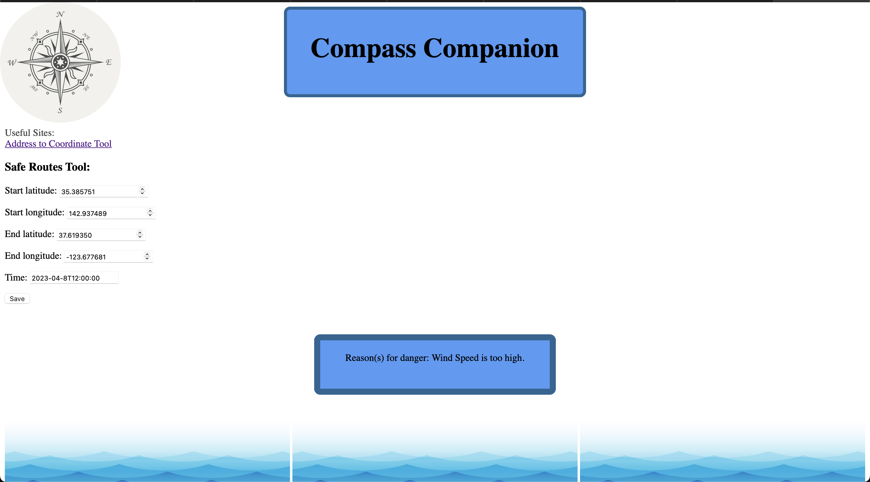
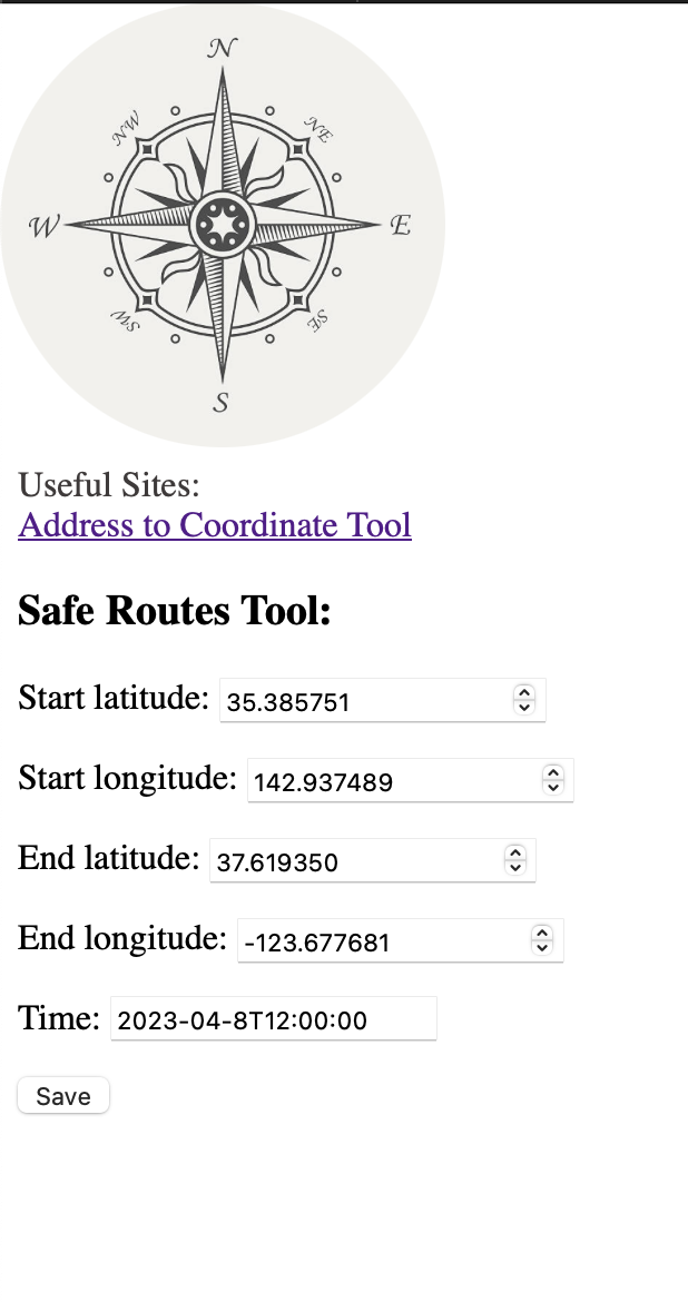
What it does
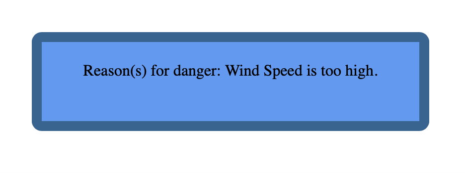
It takes in start and end latitude and longitude coordinates through a Django form which is then written into a database. Then the API is accessed with the details from the database and the json output is sorted through. The hazards are written into output.txt and then is displayed on the webpage.
How we built it
We started with a Django project as the base of our product. Then we split up with some of us coding in Python and some of us using HTML to make website templates. We used Python to implement the Spire API and to code the backend. We used a little bit of SQL for iterating through databases and HTML for creating webpages.
Challenges we ran into
Learning how to create the Django forms was not easy in the beginning and it took many hours to understand and implement the feature. After a while and rewriting the code multiple times, we were finally able to get the forms to write to the database.
Accomplishments that we're proud of
We are proud of the website's ability to connect with the Spire weather API and display safety concerns. Further development on the app will definitely be a fundamental tool in a sailor's toolkit.
What we learned
We learned how to use an API for the first time along with the Django framework to create forms and submissions to a database. Another new thing that we learned was how to use and implement the Spire API.
What's next for Compass Companion
We are going to add the ability to add more coordinates to check if routes have hazardous conditions. With the multiple points, we will be able to suggest detours or trip planning to make shipping easier, efficient, and safer.


Log in or sign up for Devpost to join the conversation.