-
-
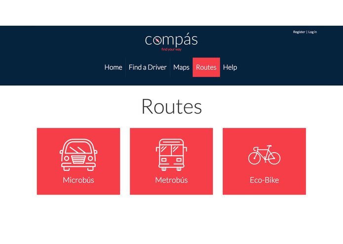
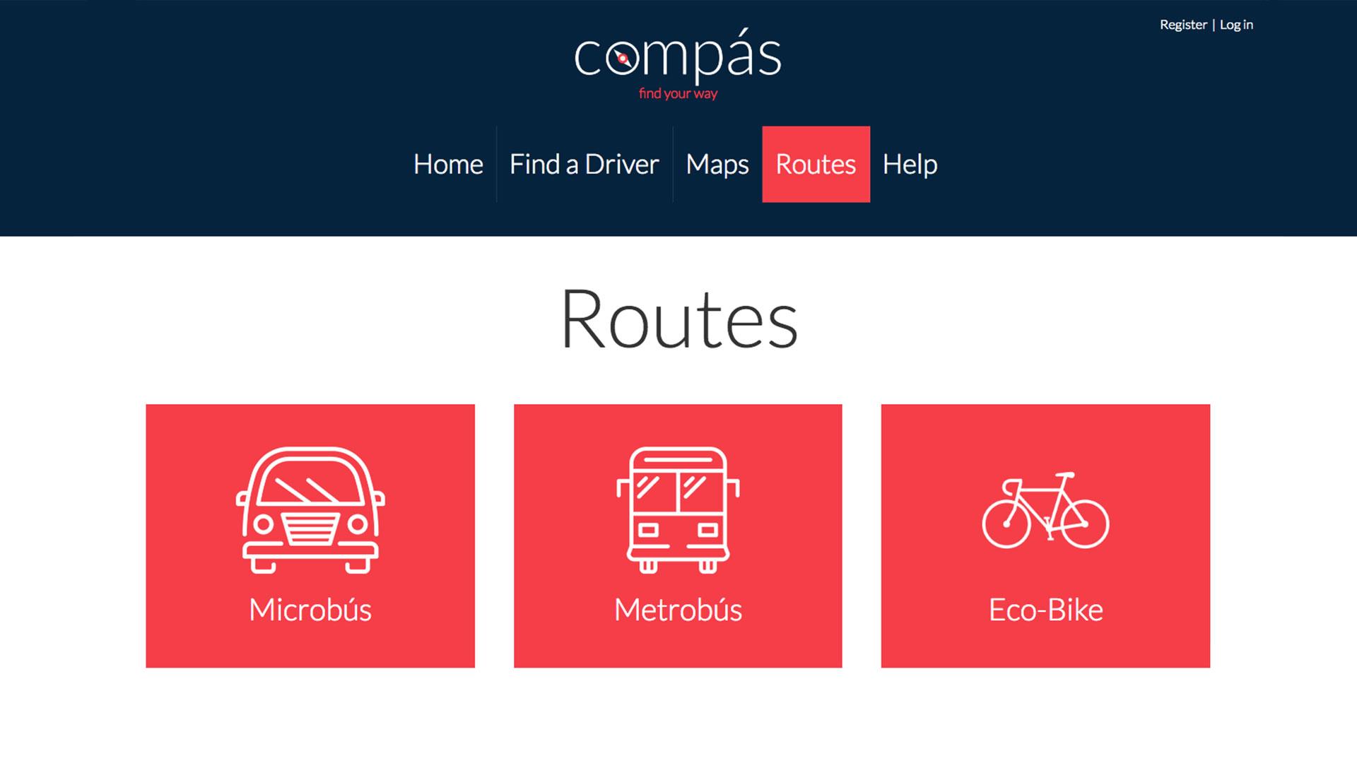
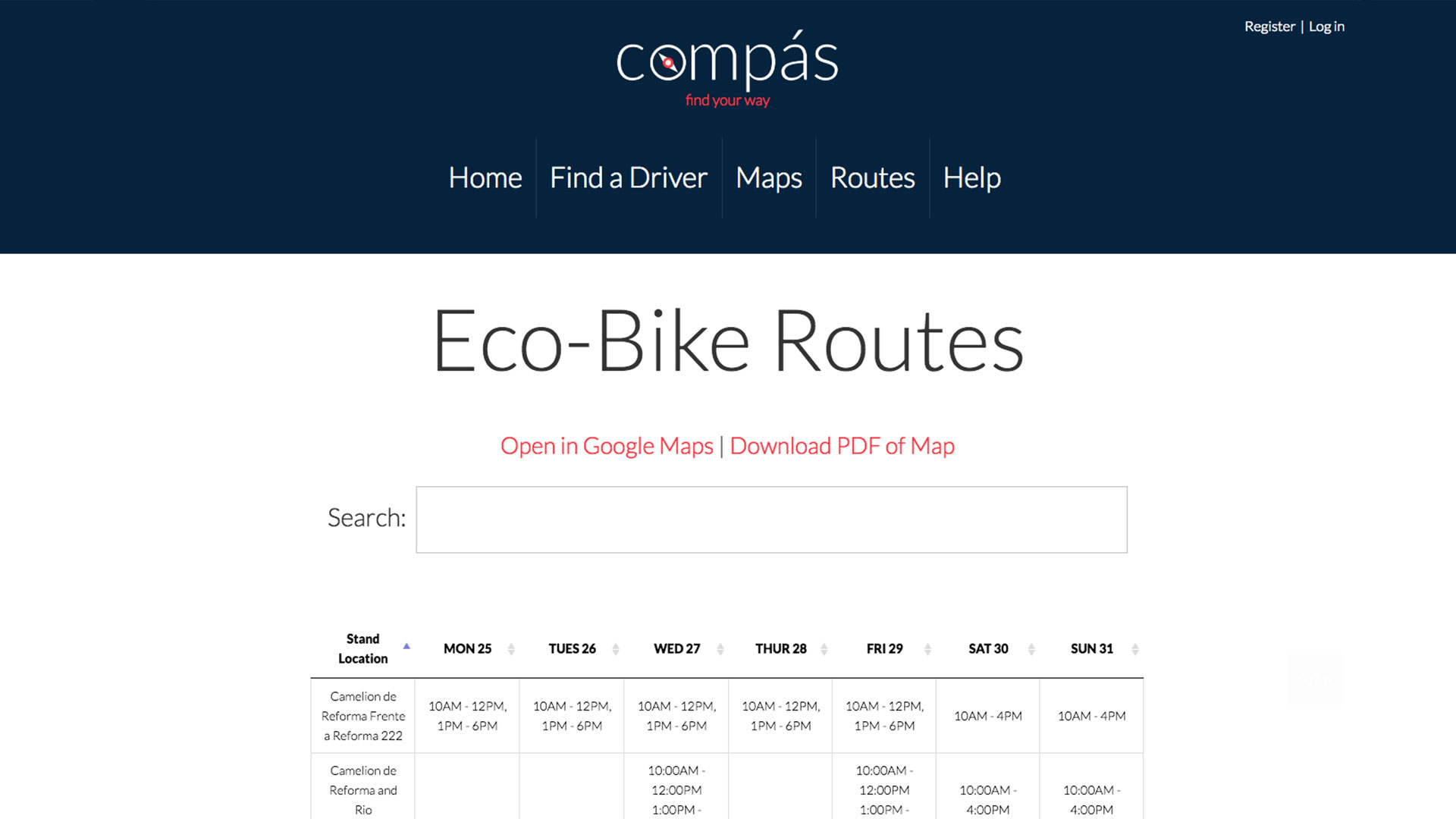
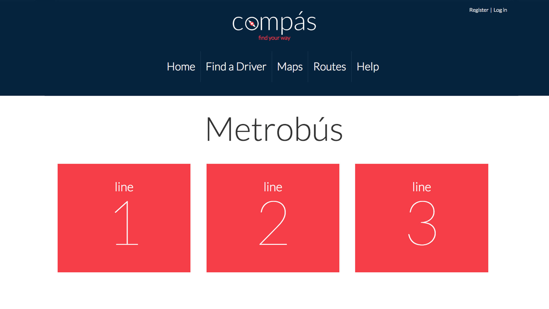
Routes Landing Page
-
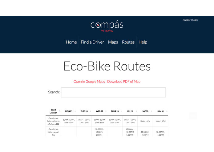
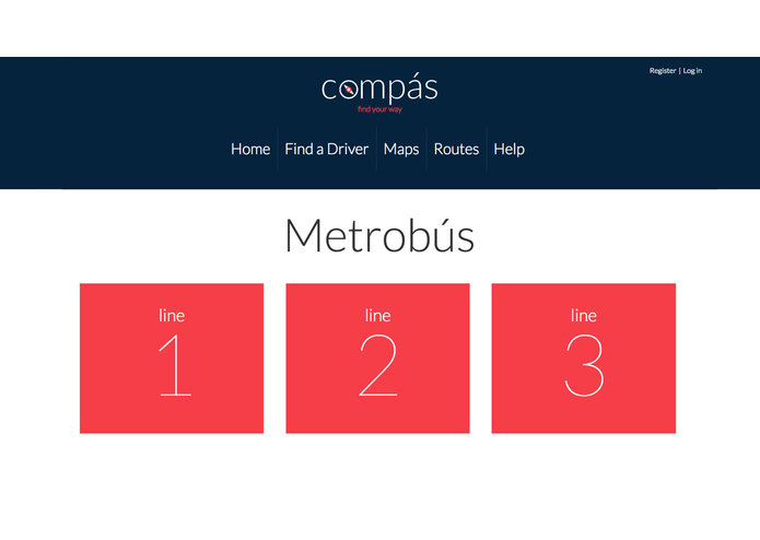
Route Page
-
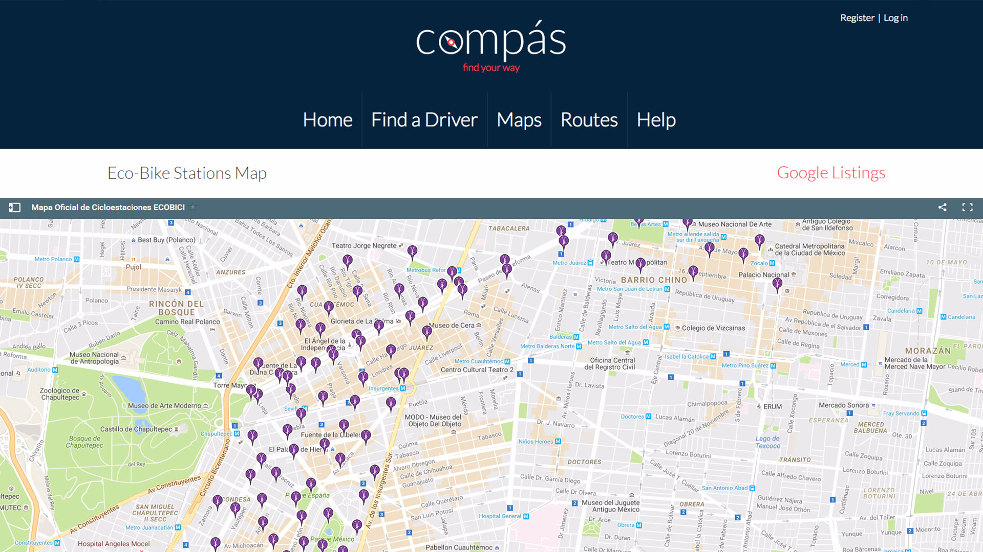
Maps Landing Page
-
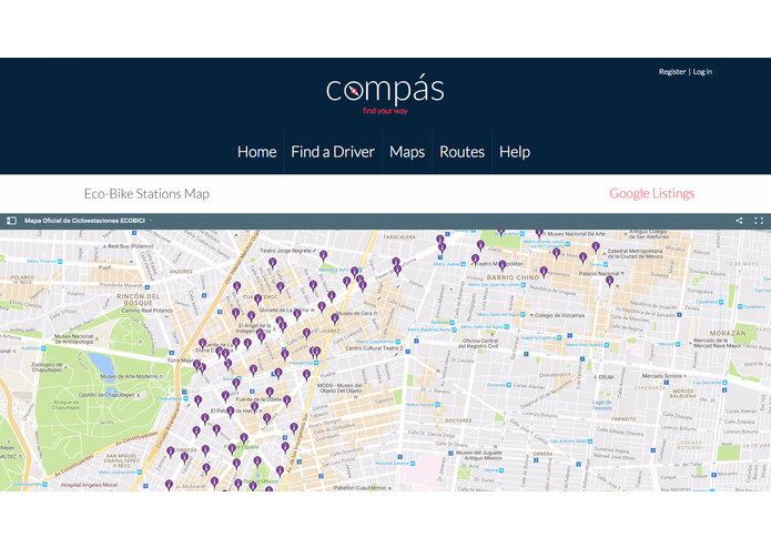
Map Page
-
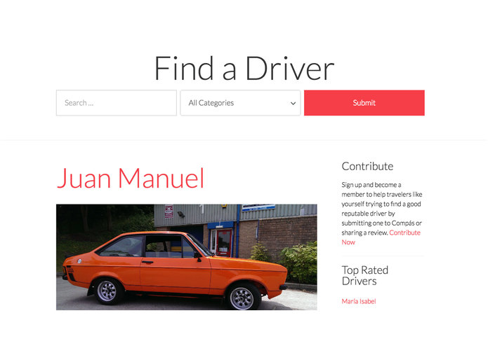
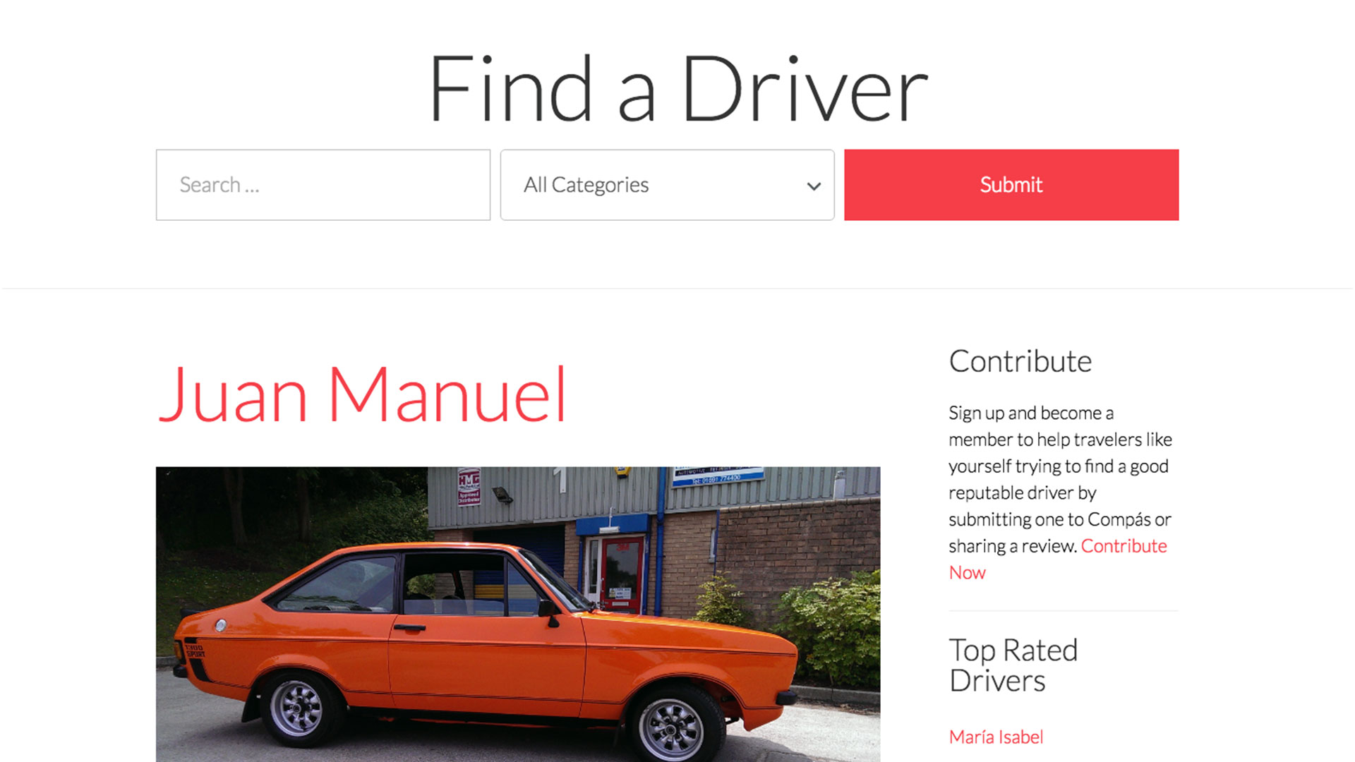
Find a Driver Landing Page
-
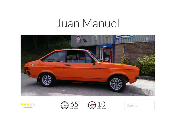
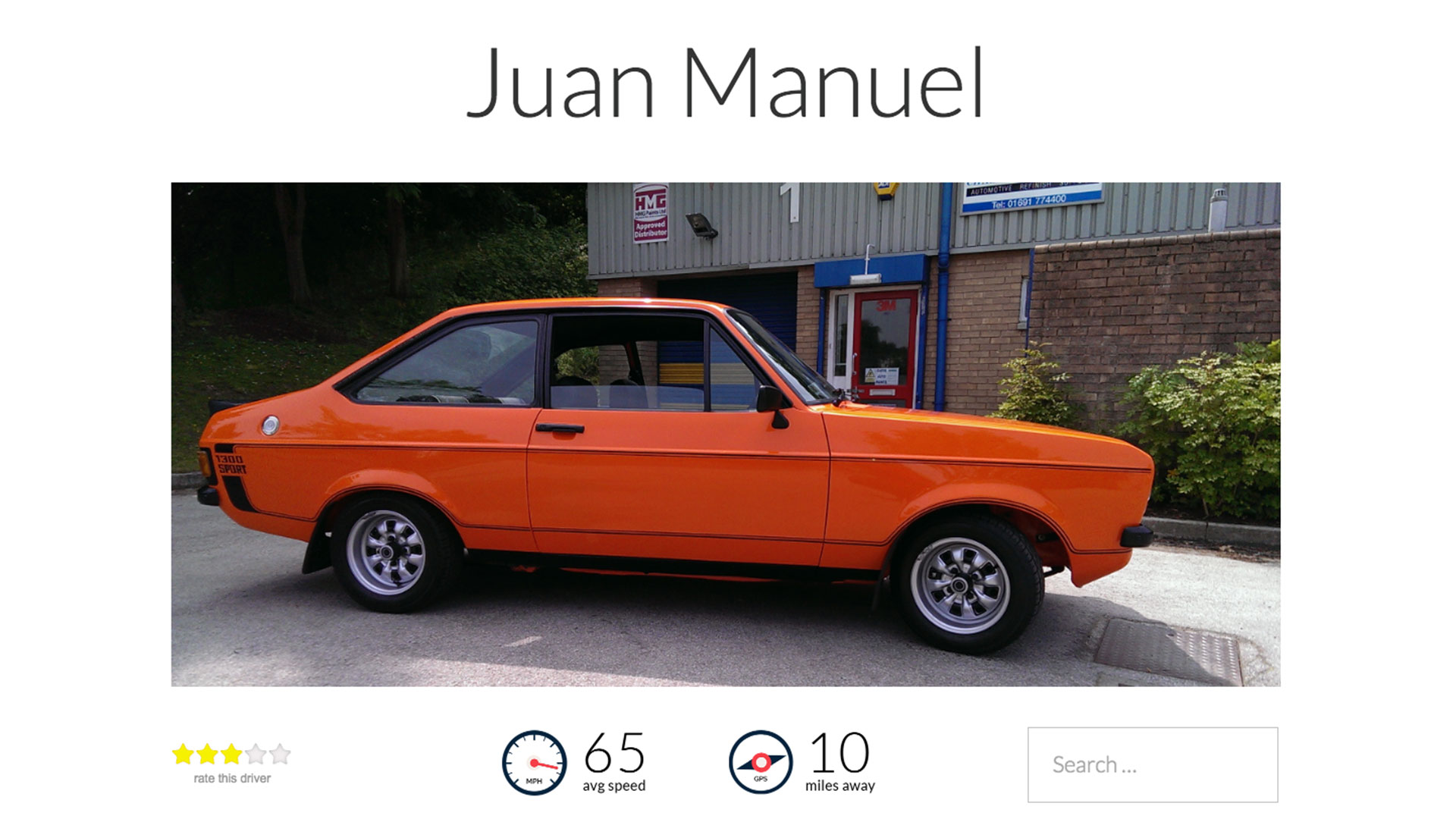
Driver Page
-
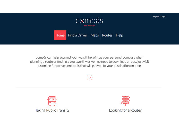
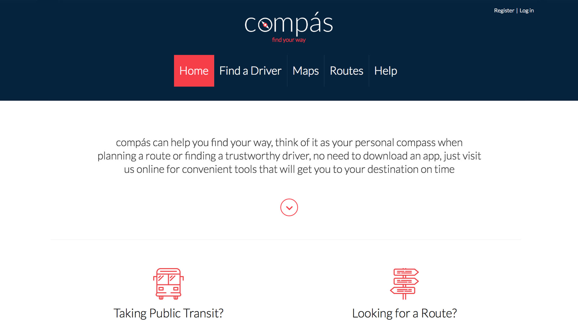
Landing Page
Inspiration
I was inspired to do this project in order to find a practical solution to this problem.
What it does
Public and private transportation information is not easy to search through these days, compás solves this problem with three different approaches: Maps, Routes, and Driver Reviews
How I built it
Using HTML and Javascript on an open source wordpress platform.
Challenges I ran into
Finding a solution that could potentially solve all of Mexico City's transportation issues.
Accomplishments that I'm proud of
Was able to create an online platform that is easy to access and can grow into a powerful tool to alleviate, if not completely solve, these transportation issues.
What I learned
Users need various ways to find a solution that works for them, I concluded compás must adhere to each form of transportation based on the research I found among mobile app users.
What's next for Compás by Smart Journey
Open XC can detect vehicle speed and GPS monitoring, offering future possibilities to expand with compás. This data can be collected from the vehicles of featured drivers and relay the data back to compás. A speed average can caution travelers of driving patterns, while a geolocation ping can notify users if their preferred driver is close by.
Questions (information shown below is also found in the Video presentation overview or detailed PDF)
What transportation options are provided to address traffic, cost, ease of use, efficiency, travel time, or safety? There are many ways that compás helps travelers save time by making it easy to find a reliable and safe mode of transportation. The efficiency of Maps and Routes save users money on travel expenses for public transportation by finding the most direct route, cutting down on total travel time.
Does compás provide value for transportation providers? At its core, compás gathers and distributes data for transportation routes, stops, and schedules in a way that is easy to comprehend. So its not just useful to travelers but providers as well. The review system implemented for finding a driver encourages ridership using crowd sourced data. Integrating maps with key destinations and collected data to transportation providers offers a guide to both public and private providers. The utilization of geo-location services via Google keeps the process of managing data simple and easily accessible from desktop or mobile devices.
What data has been integrated to support modes of transportation?
RTP Metrobus Lines Map (used for public transportation), ECOBICI Eco-Bike information (used for public transportation), ViaDF (used for private, public, and shared transportation), Uber Drivers (created a user review platform to accommodate shared transportation).
Compás Details
ROUTES - Looking up a route can be a daunting task due to the sheer amount of information that exists online. By pulling data directly from sources like ViaDF, ECOBICI Eco-Bike, or RTP Metrobús Lines, users can save time and avoid the hassle. Instant search results aid travelers in finding exactly what they need within seconds, greatly increasing the efficient use of multi-modal transportation by Mexico City consumers. Management is also easy for transportation providers to track routes, stops, and schedules with compás by importing tabular data. Notifications can be sent directly from users to the transportation the provider if a route is outdated. Routes delivers a flexible method to organize a heavy amount of information across multiple types of transportation available in Mexico city, helping users access on-demand routing to plan their trip. This feature can also be expanded easily using excel or csv files, making mass imports effortless.
MAPS - Travelers benefit from sorting hundreds of routes to help make an informed decision, but visualizing a route also helps in a big way. RTP Metrobús Lines maps are pulled directly from Google and organized for the user in one place. It also makes things easier for users that prefer using their google app by adding a link to save them the hassle. Eco-Bike maps are also pulled directly from Google, with additional options such as downloadable PDFs for offline use. Maps provides on-demand wayfinding features to encourage the use of efficient multi-modal transportation in Mexico City by a route, using the latest data available. Since the location for public transportation is generated on compás via Google, map management is painless for transportation providers to handle bus lines with compás by updating everything from one location. Notifications can also be sent directly from users to a transportation provider if a location has changed.
FIND A DRIVER - Provides travelers with the tools they need to pick a driver they trust, ensuring they reach their destination safely and on-time. Private Transportation providers can benefit by getting rewarded for being a good driver through the ‘find a driver’ feature which can lead to referrals. A review system can help build trust in using private transportation and keeps travelers safe by educating them on the quality of drivers available in their area. Members are encouraged to sign up in order to comment on reviews or submit a driver they know and trust. If approved, the driver can be contacted for permission to post their profile online, leading to potential referrals.


Log in or sign up for Devpost to join the conversation.