-
-
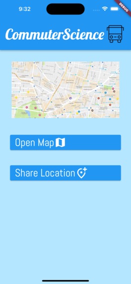
Home Screen
-
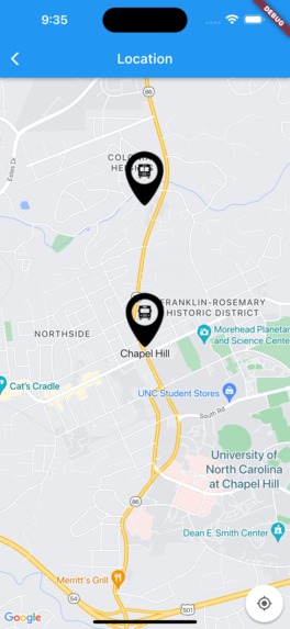
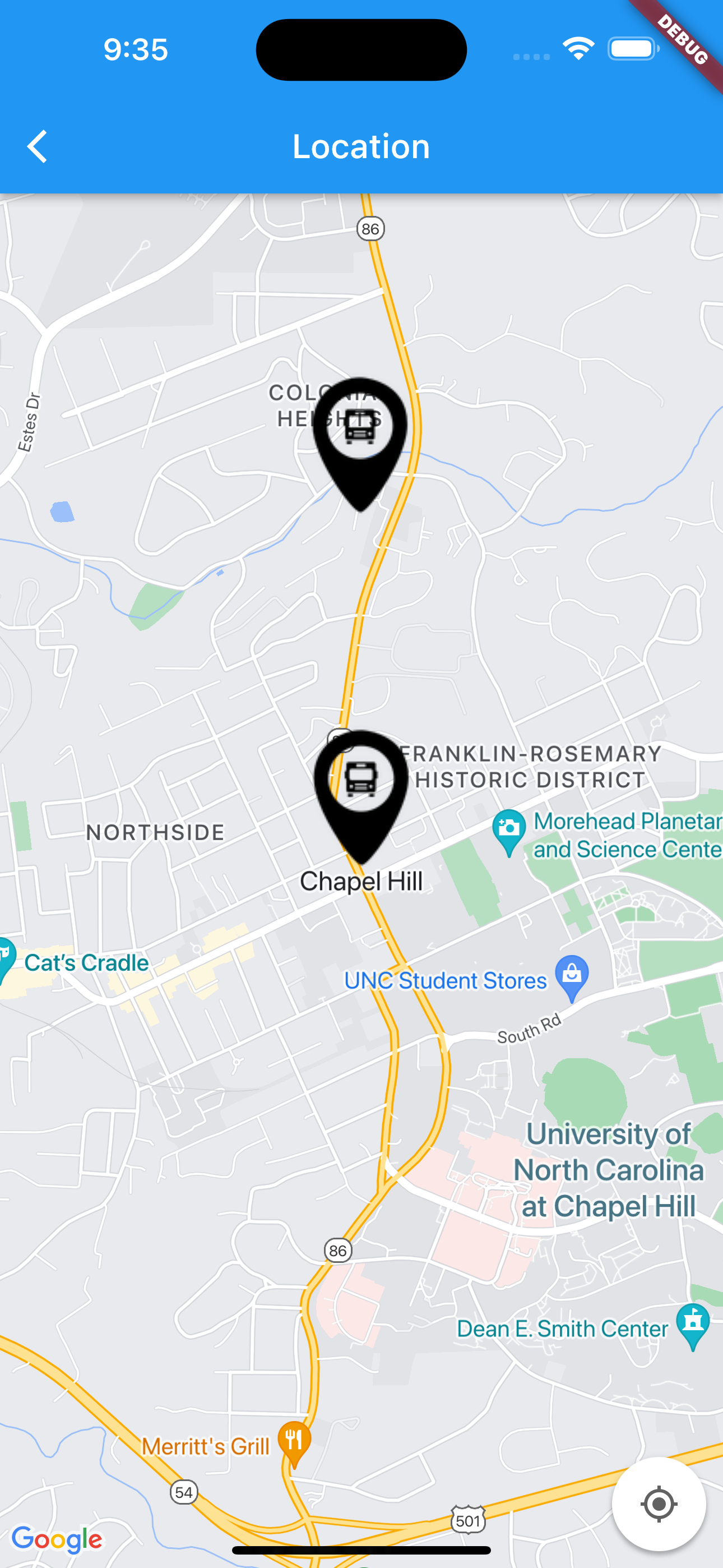
Google Maps w/ Custom Markers
-
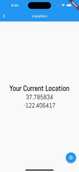
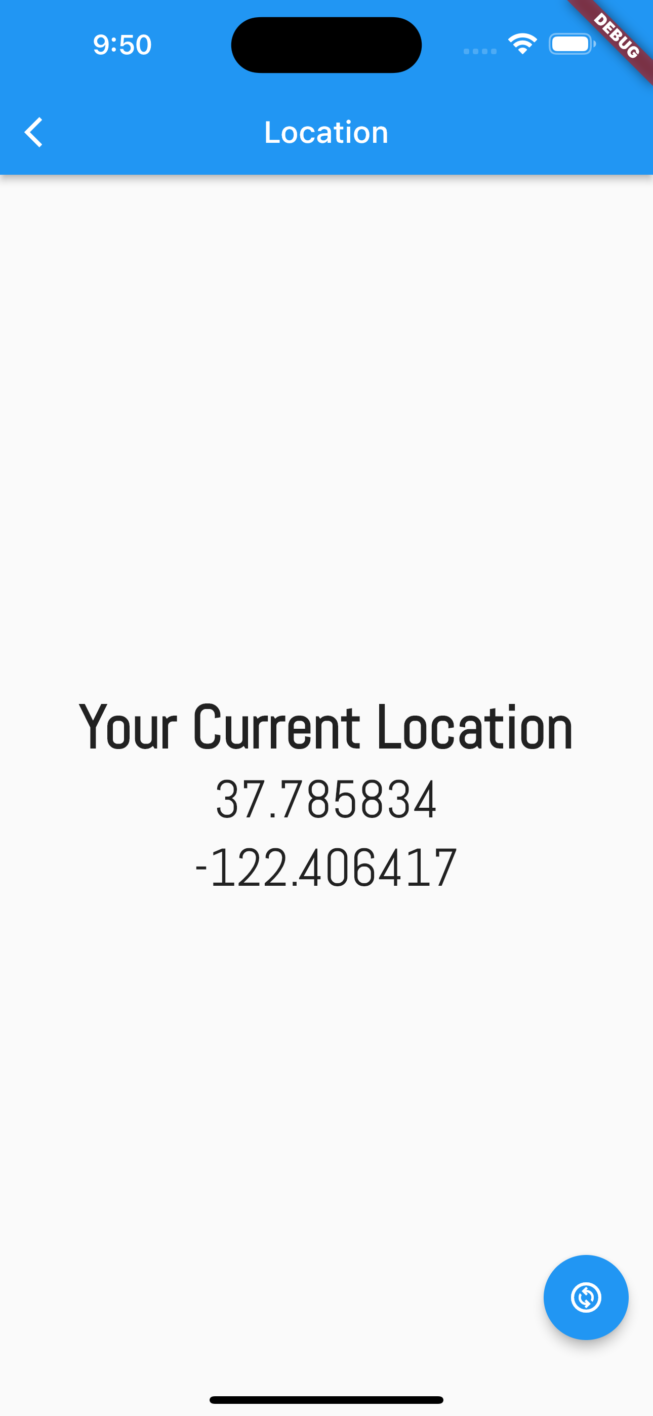
Live Location Sharing Longitude and Latitude
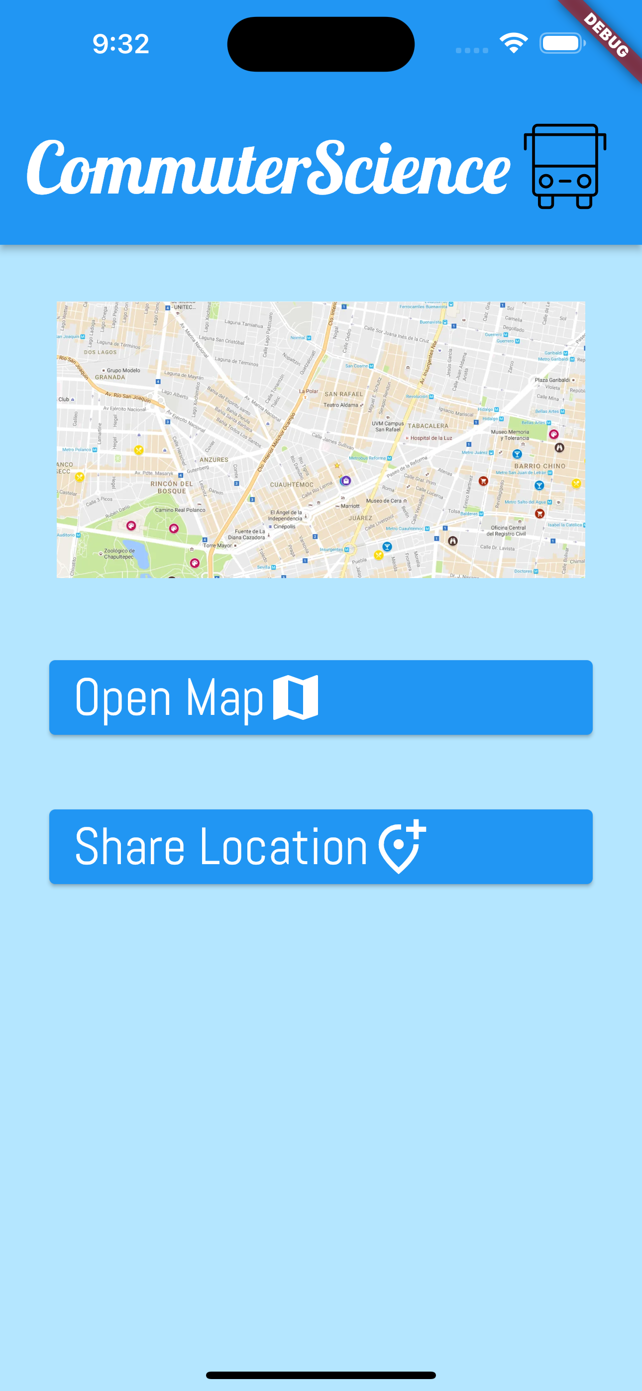
Inspiration
Due to the 3G network being discontinued around Chapel Hill, Transloc (Chapel Hill Transit's App) was no longer able to report live locations of buses. New buses that have hardware that can interact with the 4G network have been ordered but have been delayed due to supply chain issues. We want to bring back the convenience that live tracking has with our app especially since a large portion of the student body lives off campus.
What it does
Commuter Science is an app that allows users to share their live locations. Our vision was for bus drivers to install the app on their phones and begin sharing during their shifts. Their location would display as the route they are working and be available for all users.
How we built it
We built this app with the Flutter framework. This allows us to have one codebase for both the Android and IOS app. To access user locations we used the Geolocation library and utilized the Google Maps API.
Challenges we ran into
We were sadly unable to configure the firebase database we wanted to use to dynamically access user locations. In theory, locations would be continuously added to a database which would then be queried and displayed as nodes on our map. Developing the app iOS and Android simulators also prevented us from visualizing dynamic locations.
Accomplishments that we're proud of
We created a project with a framework and language that neither of us had ever coded in before!
What we learned
- Basic UI components with Flutter
- How to use the geolocator library including how to ask for permission from the user to share data.
- How to work with Google Maps API

Log in or sign up for Devpost to join the conversation.