InspirationThe Problem
1.3 billion people worldwide live with disabilities, yet the physical environments they navigate daily are undocumented, unmapped, and invisible to the institutions with the power to fix them. Broken elevators, missing curb cuts, construction barriers, inaccessible transit — these are not edge cases. They are daily reality. And existing tools treat accessibility as an afterthought: an optional filter, not a first-class experience. The people most affected have no systematic way to be heard. The cities responsible have no reliable data to act on. CPAI closes that gap.
The Solution
Community-Powered Accessibility Intelligence (CPAI) is an AI-powered civic technology platform that combines real-time accessible navigation, crowdsourced barrier reporting, explainable AI scoring, ADA advocacy automation, and a municipal intelligence dashboard — all in one integrated ecosystem. Every user interaction generates signal. Every report improves the map. Every navigation event feeds data back to the planners who can act on it. CPAI isn't just an app — it's the infrastructure layer that makes all infrastructure more accessible.
How It Works
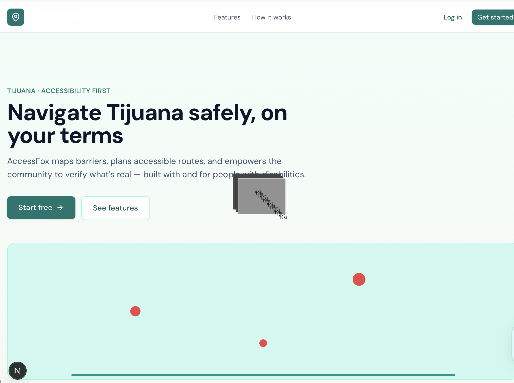
Accessibility Route Planner — Personalized navigation for wheelchair users, mobility aid users, low-vision individuals, caregivers, and seniors. Routes are scored in real time, with confidence levels, risk assessments, and dynamic alternatives that update as conditions change. Community Reporting Network — Users report missing curb ramps, broken sidewalks, elevator outages, blocked pathways, and transit failures in seconds. AI automatically classifies each report, estimates severity, detects duplicates, and calculates neighborhood-level accessibility impact. Explainable Accessibility Intelligence™ — Every accessibility score tells a story. Not just "72/100" — but exactly why: which barriers contribute how much, with evidence sources, confidence levels, and community verification data. Explainability builds trust and drives institutional action. Civic Action Hub — Reports become formal requests. Users submit 311 requests, contact accessibility offices, and notify public works departments — automatically packaged with photos, GPS data, AI analysis, community validation, and impact summaries. One tap. Maximum civic leverage. ADA Resource Center — Auto-generates ADA complaint packets, evidence packages, and advocacy submissions, surfaced dynamically based on location and barrier type. Federal, state, and local resources included. Municipal Intelligence Dashboard — For governments, transit agencies, and urban planners. Accessibility heatmaps, infrastructure gap analysis, resolution timelines, neighborhood scoring, and AI-prioritized investment recommendations. Turns community signal into institutional action. Community Impact Tracker — Tracks measurable change over time: barriers reported, issues resolved, contributors active, government responses received, infrastructure upgraded. Progress is visible, accountable, and shareable.
Why It's Different
Every existing solution solves one piece of the puzzle — mapping, routing, or reporting. CPAI integrates all of them into a single feedback loop between individual experience and institutional change. The result is a platform with network effects: every new user makes routing smarter, every new report makes the map more accurate, and every resolved barrier becomes evidence that the system works. Impact Potential CPAI directly serves 1.3B+ people with disabilities globally. Its B2G model — licensing intelligence dashboards to municipalities, hospital systems, and transit agencies — creates a sustainable revenue path while aligning commercial incentives with social good. Longer term, the platform expands into rehabilitation routing, senior care navigation, insurance risk scoring, and a developer API for third-party accessibility embedding. We are not building an accessibility app. We are building the infrastructure that makes all infrastructure more accessible.
Technology Stack
React Native, Python, FastAPI, Claude API, Google Maps Platform, TensorFlow, computer vision models, PostGIS, WebSockets, Mapbox GL, Firebase, AWS/GCP
Track / Domain
Artificial Intelligence & Machine Learning · Healthcare Innovation · Smart Automation · Social Impact
Future Scope
- B2G licensing to municipalities, transit agencies, and hospital systems
- Hospital discharge planning and rehabilitation routing
- Insurance accessibility risk scoring
- Developer API for third-party accessibility embedding
- Wearable integration (Apple Watch, smart canes, AR glasses)
- Federal ADA compliance auditing tool Senior care and assisted living navigation School and campus accessibility intelligence
Built With
- accessibility-classification-models
- accessibility-intelligence-engine
- accessibility-scoring-engine
- ada-compliance-resources
- artificial-intelligence-(ai)
- civic-technology
- cloud-storage
- community-powered-reporting-system
- computer-vision
- confidence-scoring-framework
- explainable-ai
- express.js
- geolocation-apis
- geospatial-analytics
- government-reporting-integrations
- gpt-5
- mapbox
- municipal-reporting-workflows
- natural-language-processing-(nlp)
- next.js
- node.js
- oauth
- openai-api
- openstreetmap-(osm)
- postgis
- postgresql
- react
- rest-apis
- role-based-access-control-(rbac)
- route-optimization-algorithms
- shadcn/ui
- supabase
- supabase-auth
- tailwind-css
- typescript

Log in or sign up for Devpost to join the conversation.