
Inspiration
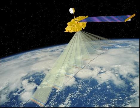
We wanted to see if we could track airborne pollution at a hyper-local level. We found that satellite imagery for aerosol matter is available online from the MODIS project carried on the TERRA satellite.
What it does
Given a bounded geographical area and a temporal range it returns data indicating the amount of aerosolized matter in the area over a given time.
How I built it
MODIS data was retrieved from government FTP servers. The data analysis was built in python. Data was extracted from HDF(Hierarchical Data Files) files using HDFview a free open source script.
It was then put into a local mysql database for analysis.
Challenges I ran into
Finding software and libraries to manipulate the HDF files was very difficult as many of the projects were out of date. Many programs were also only available in windows binaries while our operating environment was Linux.
Accomplishments that I'm proud of
Learning to work with the data formats and organizing it into a useful form.
What's next for Hyper Local Pollution Monitor
We would like to build a web interface as a fun tool for people to visualize historical pollution in the area where they live. It could also show cloud cover and vegetation.


Log in or sign up for Devpost to join the conversation.