-
-
CiviTwin AI platform overview
-

Survey data import and project setup
-
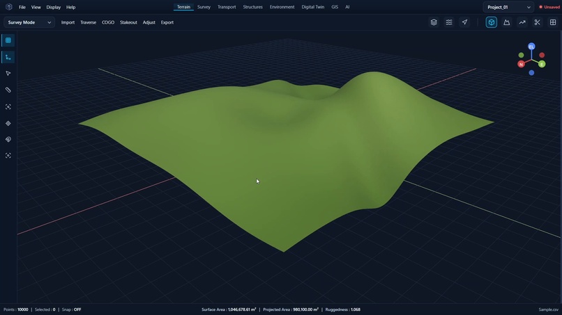
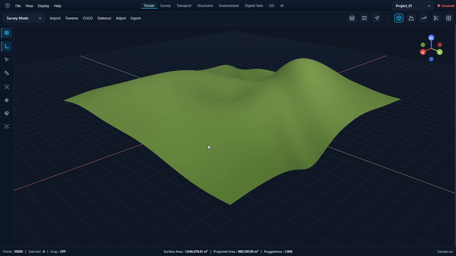
Interactive 3D terrain visualization
-
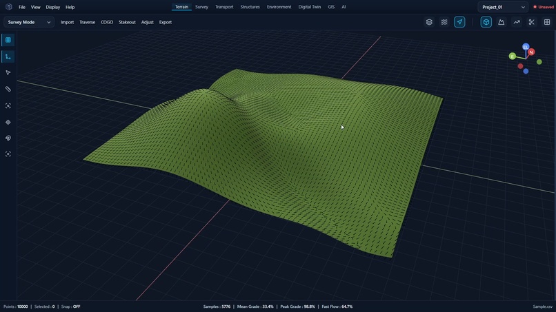
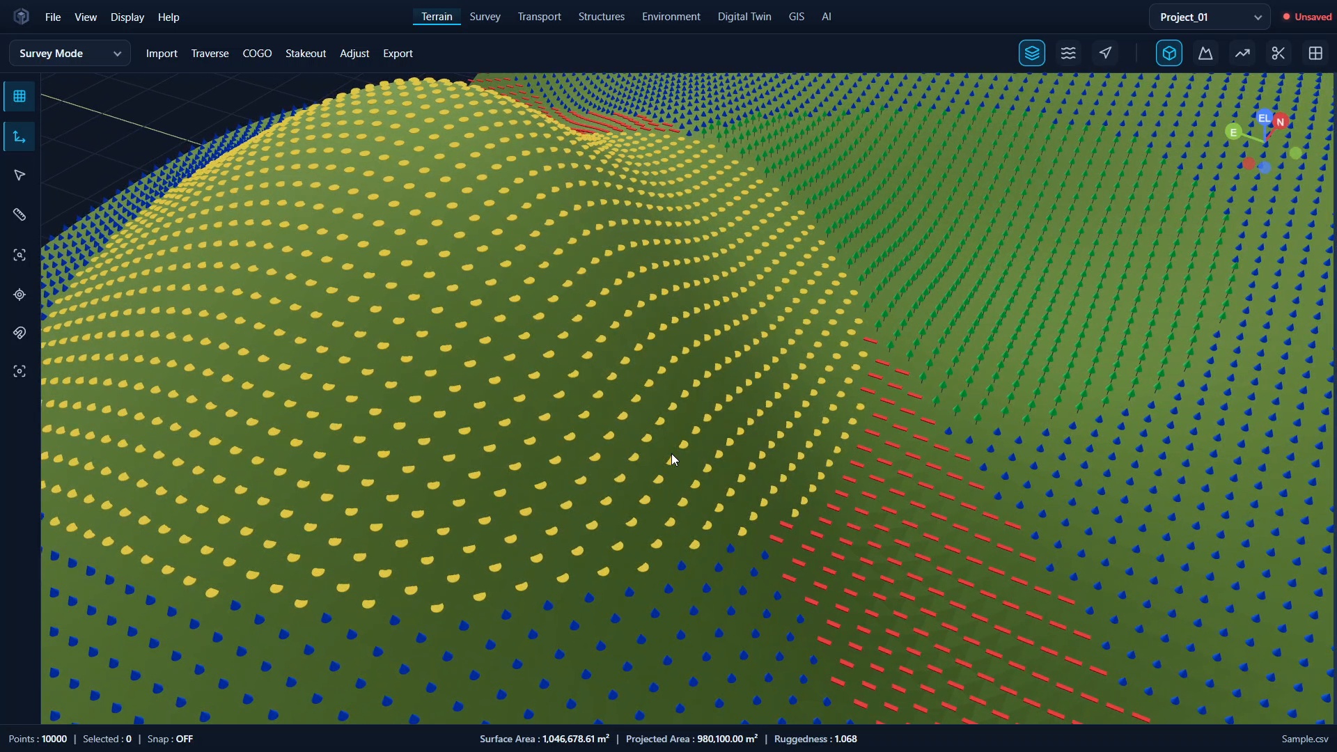
Survey points visualized in 3D
-
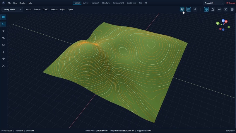
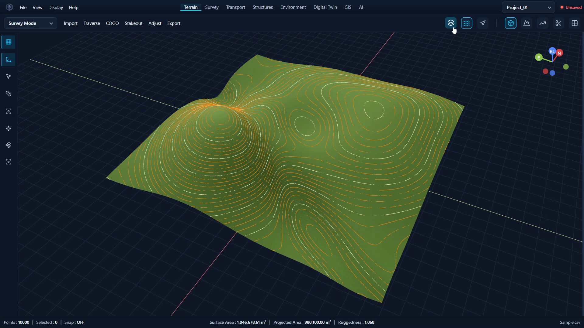
Contour generation and terrain analysis
-
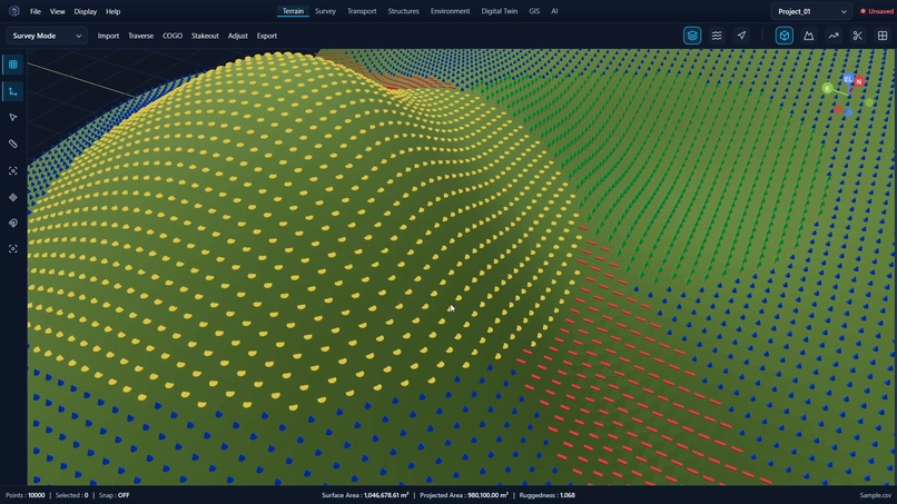
Detailed terrain and contour surface
-
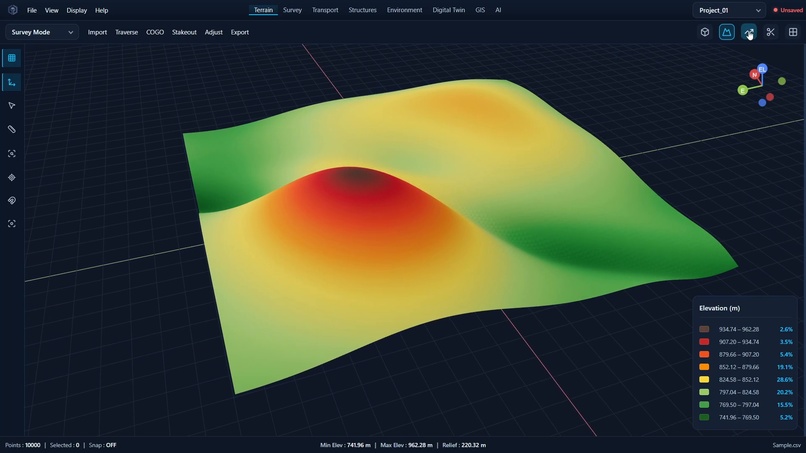
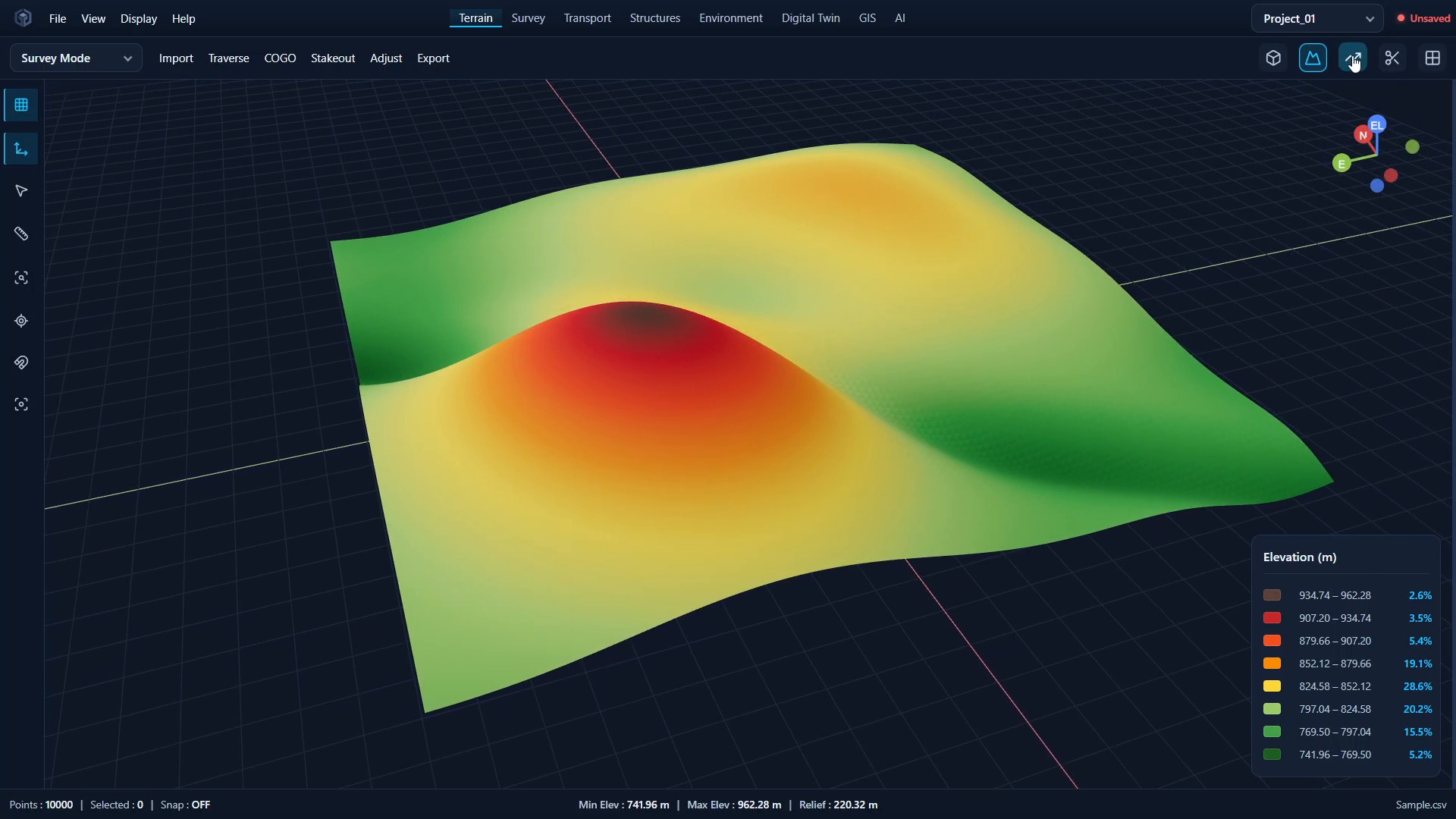
Elevation-based surface analysis
-
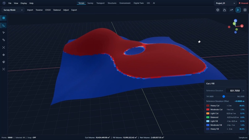
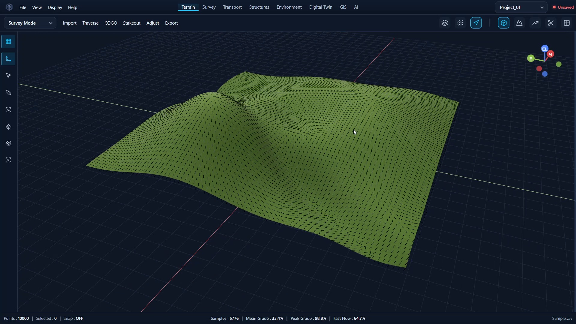
Slope variation analysis
-
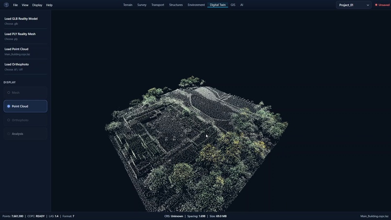
LiDAR point-cloud visualization
-
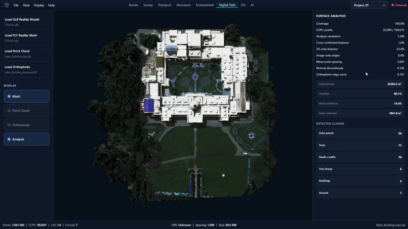
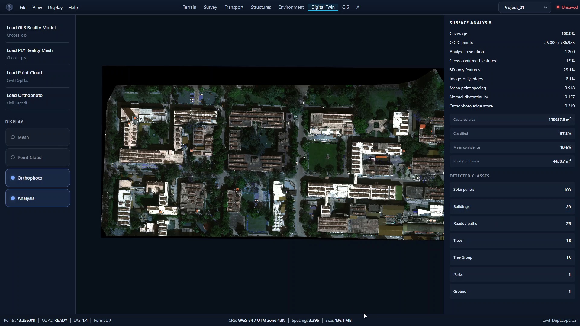
Orthophoto and site overview
-
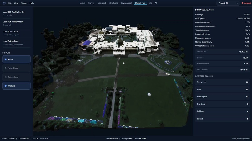
Surface analysis and detected site classes
-
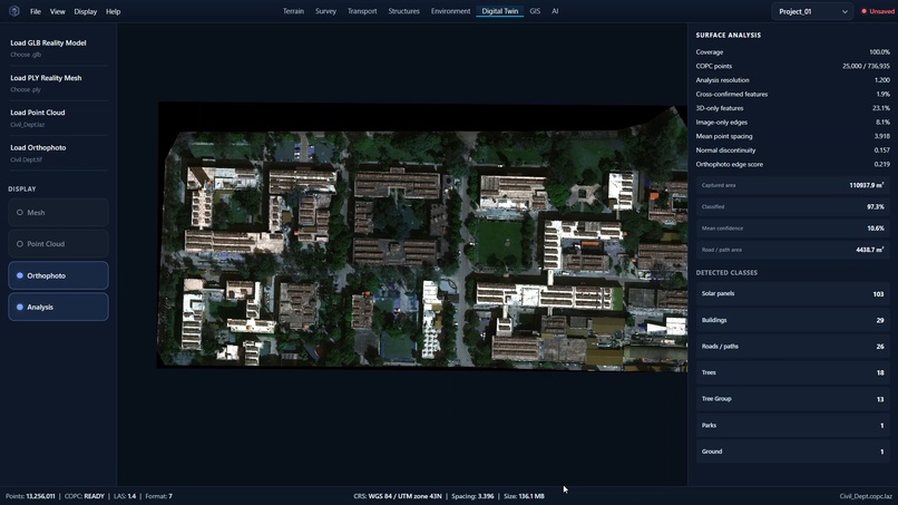
Top-down textured site twin
-
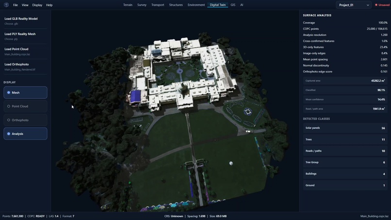
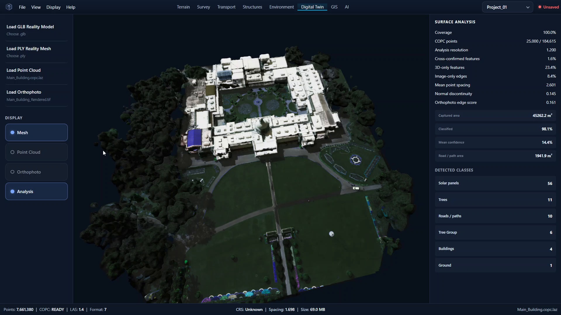
Semantic 3D site reconstruction
-
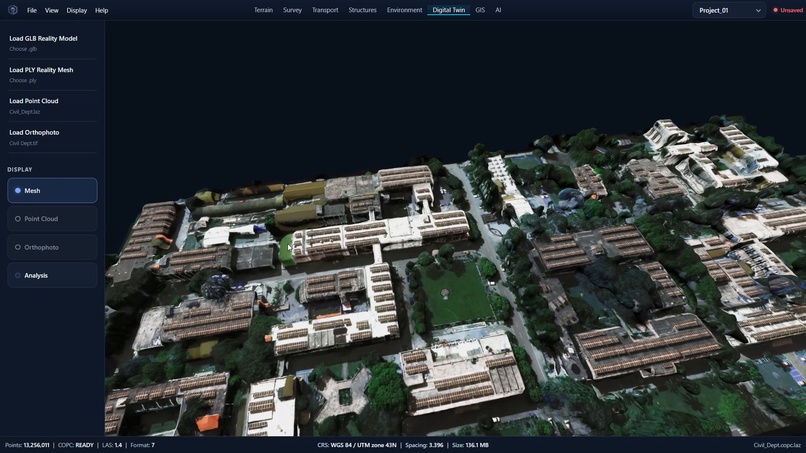
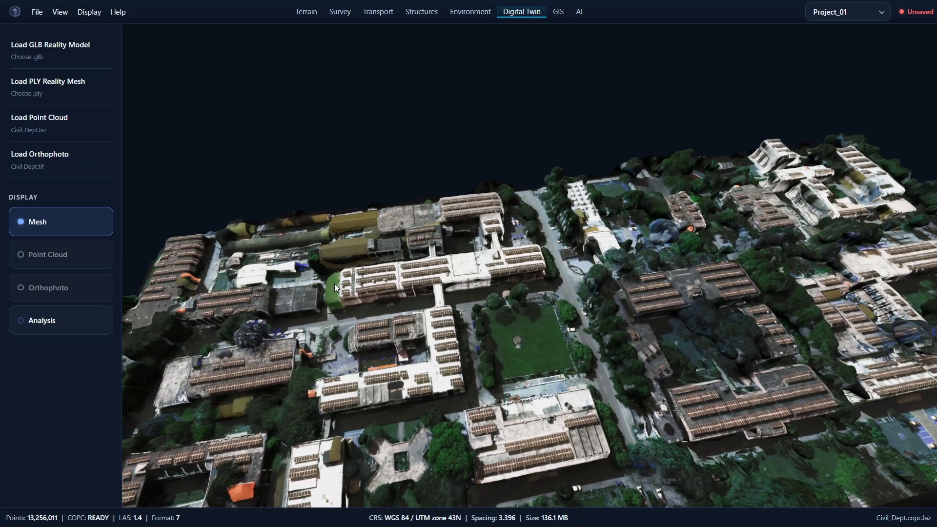
Detailed reconstructed 3D site twin
-
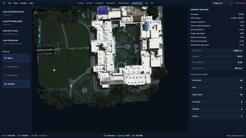
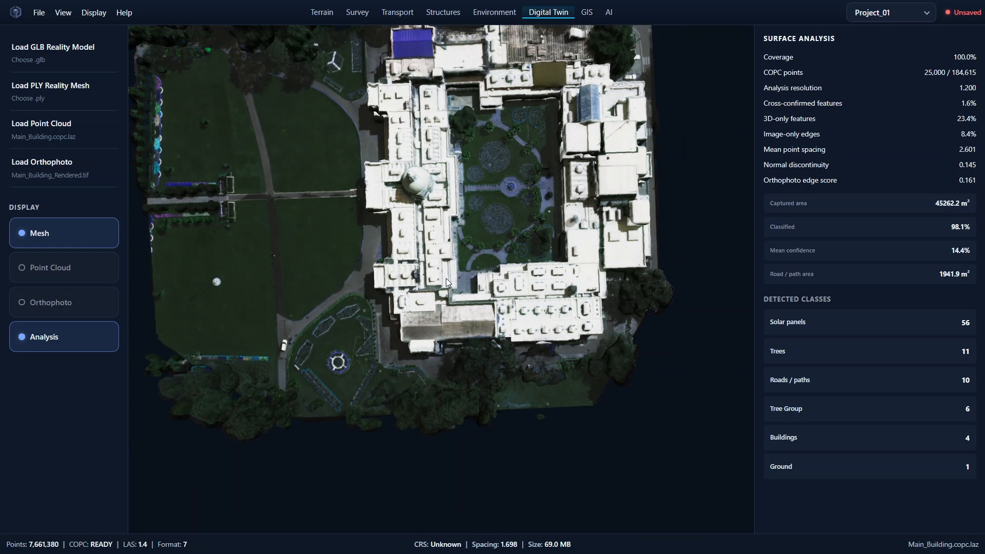
Orthophoto-integrated site view

Inspiration
Civil engineering teams work with large amounts of spatial data, but survey coordinates, LiDAR point clouds, imagery, and engineering interpretation are often handled through separate tools and workflows. This makes it difficult to move from raw field data to an understandable digital representation of a site.
We built CiviTwin AI to bridge that gap: a spatial engineering and reality-intelligence platform that turns raw survey and LiDAR data into interactive 3D site intelligence.
What we built
CiviTwin combines two connected spatial workflows.
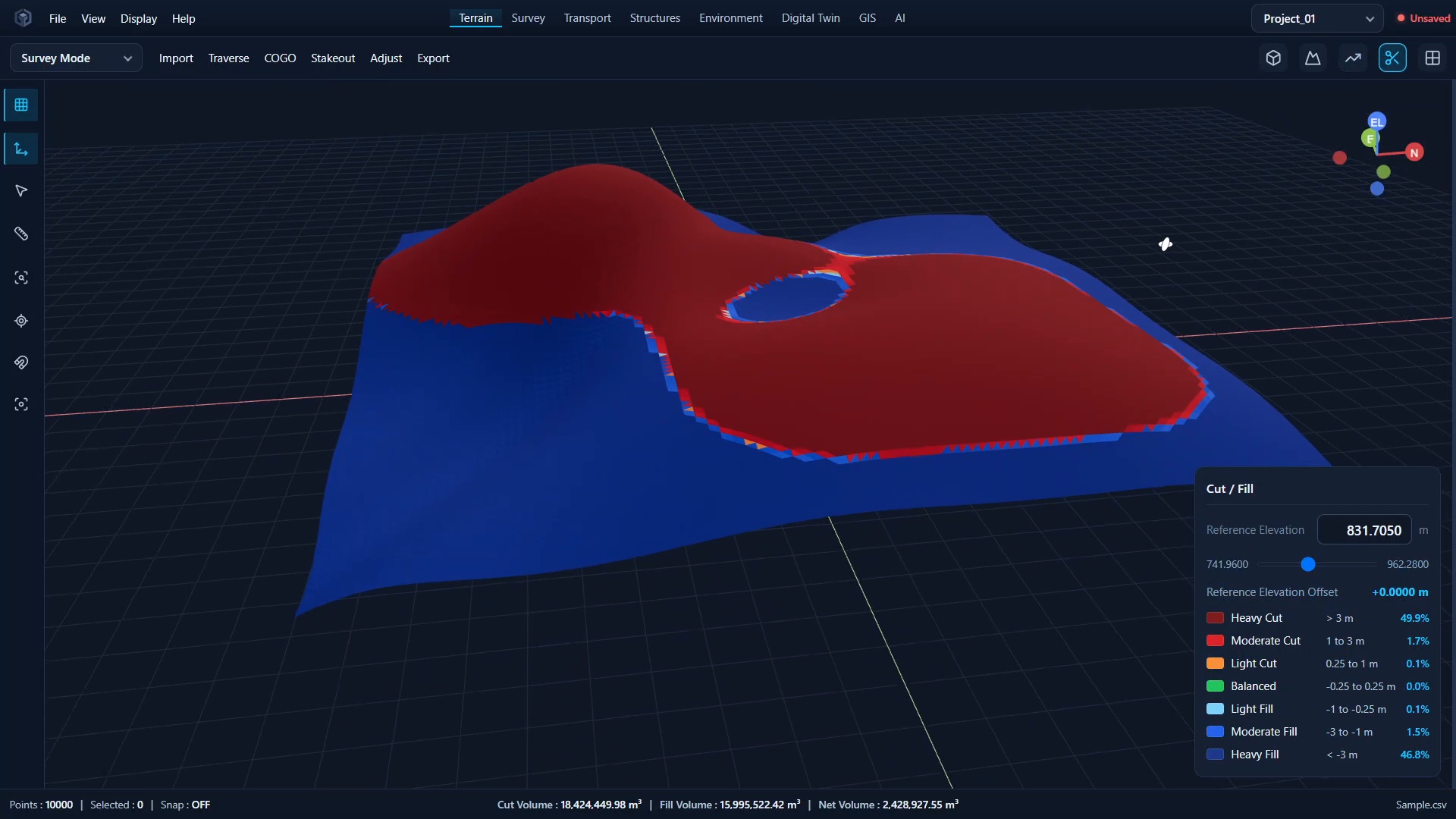
The first starts with survey CSV data. Users can upload survey files containing point IDs, Easting, Northing, Elevation, and survey codes. CiviTwin validates and structures the points, calculates terrain statistics, classifies survey features, and uses the survey coordinates and elevations to generate a 3D terrain surface. The same data can be explored through searchable point tables, 2D site plans, elevation visualization, contours, and slope analysis. A dataset-grounded Engineering Assistant also lets users ask questions about their actual survey dataset.
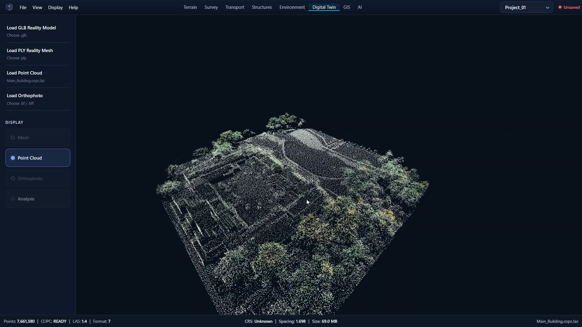
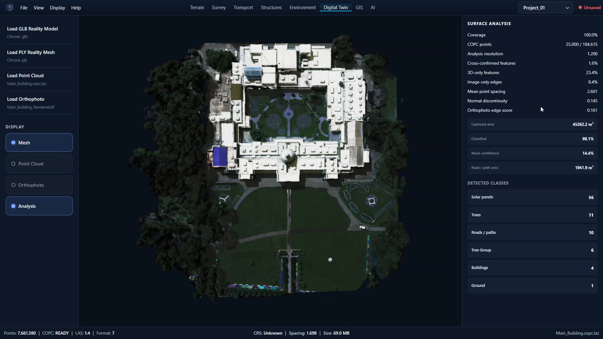
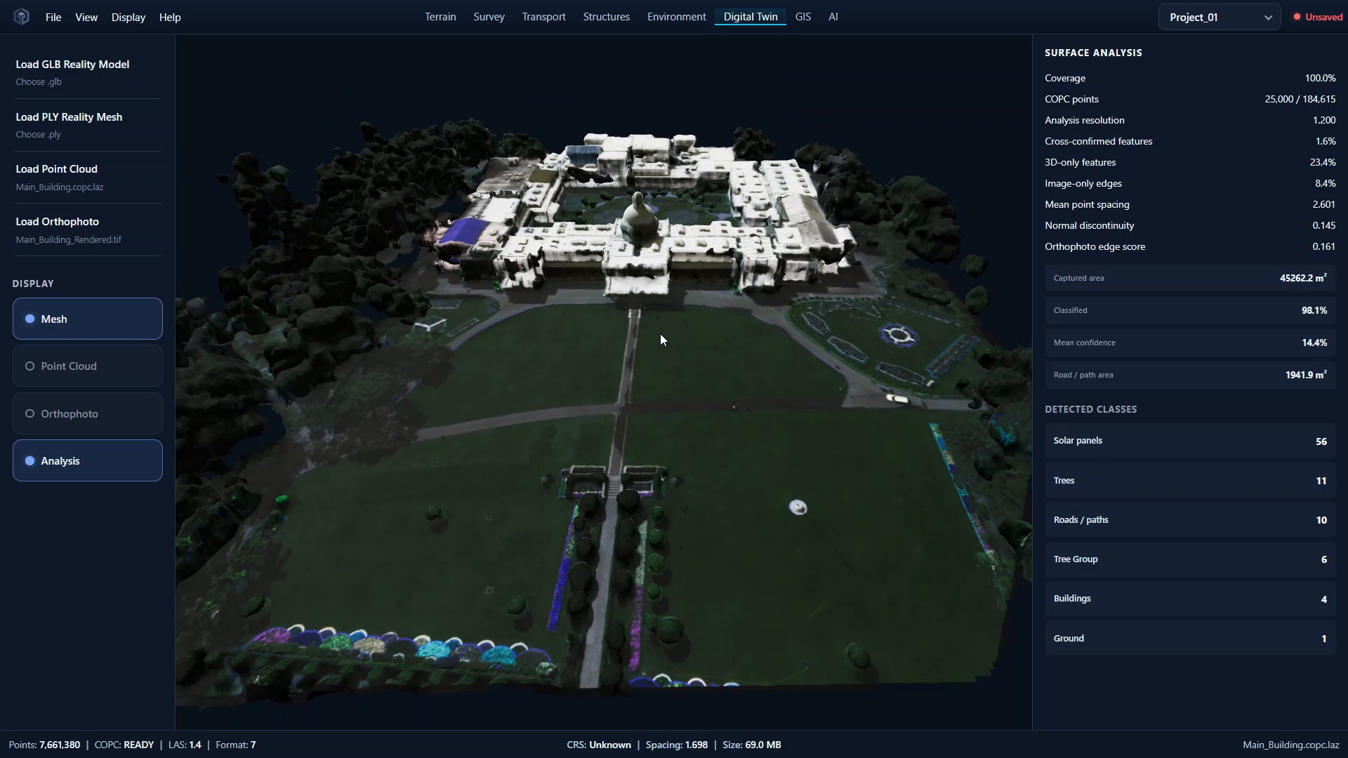
The second workflow focuses on real-world LiDAR and imagery. CiviTwin accepts LAS/LAZ point clouds and can automatically convert them to COPC for efficient point-cloud processing. Users can analyze the point cloud together with an orthophoto, inspect spatial properties such as coverage, CRS, and point spacing, and run semantic reconstruction. The reconstruction pipeline generates 3D geometry with semantic classes such as buildings, trees, roads/paths, ground, and solar panels, producing an interactive representation of the environment.
Together, these workflows demonstrate a progression from raw survey observations → terrain and spatial analysis → LiDAR/imagery understanding → semantic 3D site reconstruction.
How we built it
The system combines web-based geospatial visualization, survey-data processing, terrain and surface analysis, point-cloud/COPC workflows, orthophoto analysis, semantic reconstruction, and AI-assisted engineering interpretation. We focused on making the pipeline work with real spatial datasets rather than relying only on mock 3D scenes.
Challenges
The hardest parts were handling large point clouds efficiently, converting and processing spatial data, maintaining coordinate/reference-frame consistency, and generating usable 3D surfaces from irregular real-world data. Semantic reconstruction also required balancing geometric quality, computational cost, and preservation of meaningful site features.
What we learned
Building CiviTwin taught us that a useful digital twin is not simply a 3D model. The important part is the pipeline connecting raw observations to spatial understanding. Our current prototype demonstrates how structured survey data can become terrain intelligence and how LiDAR and imagery can be transformed into a semantic 3D site representation.
What's next
We plan to extend CiviTwin toward deeper engineering analysis, richer infrastructure intelligence, and broader interoperability with civil engineering and geospatial workflows.
Built With
- 3d-reconstruction
- ai/ml
- cesiumjs
- copc
- digital-twins
- fastapi
- geopandas
- geospatial
- gis
- las
- laz
- numpy
- openai
- pdal
- point-clouds
- postgis
- postgresql
- python
- react
- scipy
- three.js
- typescript
- vercel
- vite
- webgl


Log in or sign up for Devpost to join the conversation.