
CILT – Community Issue & Location Tracker
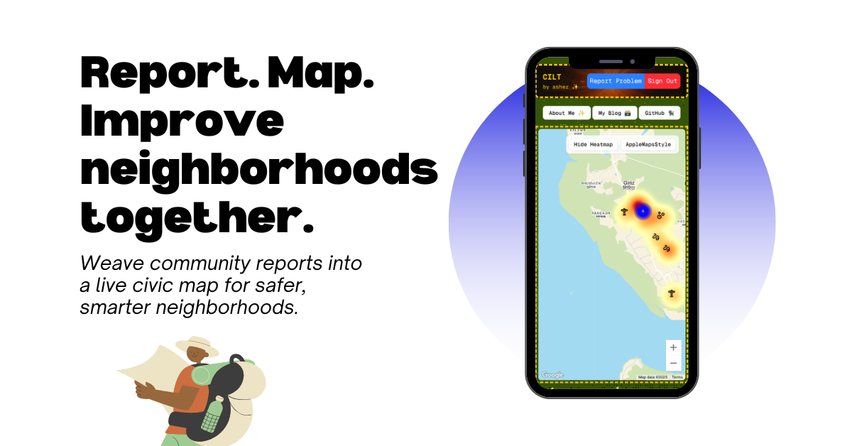
Every city has problems—potholes, broken lights, flooding—but most go unreported, or worse, unheard. CILT was born out of the need to give local communities a voice through the map. Inspired by the power of geolocation, crowdsourcing, and open civic data, my mission was simple: map what's broken so it can be fixed.
I set out to build a platform that empowers residents to:
- 📍 Report neighborhood issues (like broken infrastructure or unsafe zones) in real time
- 🗺️ Visualize concerns on a live map, clustering by type and frequency
- 📢 Help local governments and communities prioritize action using data, not guesswork
What I Learned
This project taught me how to combine user-first design with geospatial intelligence. I dove into:
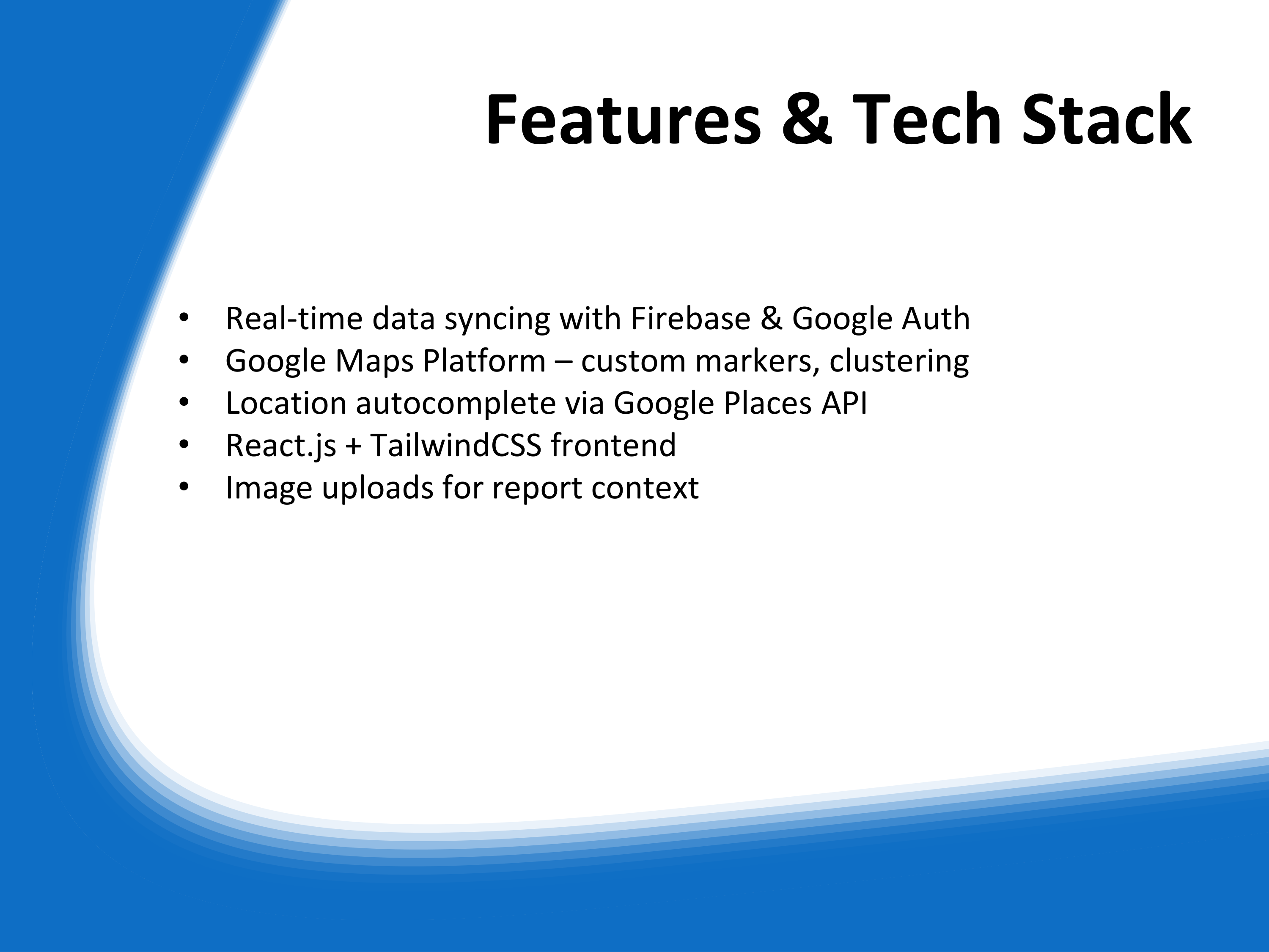
- Real-time data syncing with Firebase and Google single-click signup authentication
- Google Maps Platform with custom markers, clustering, and live map updates
- Handling geolocation edge cases, media uploads, and real-time sync
- Balancing performance and usability in geospatial-heavy apps
How I Built It
I built CILT using:
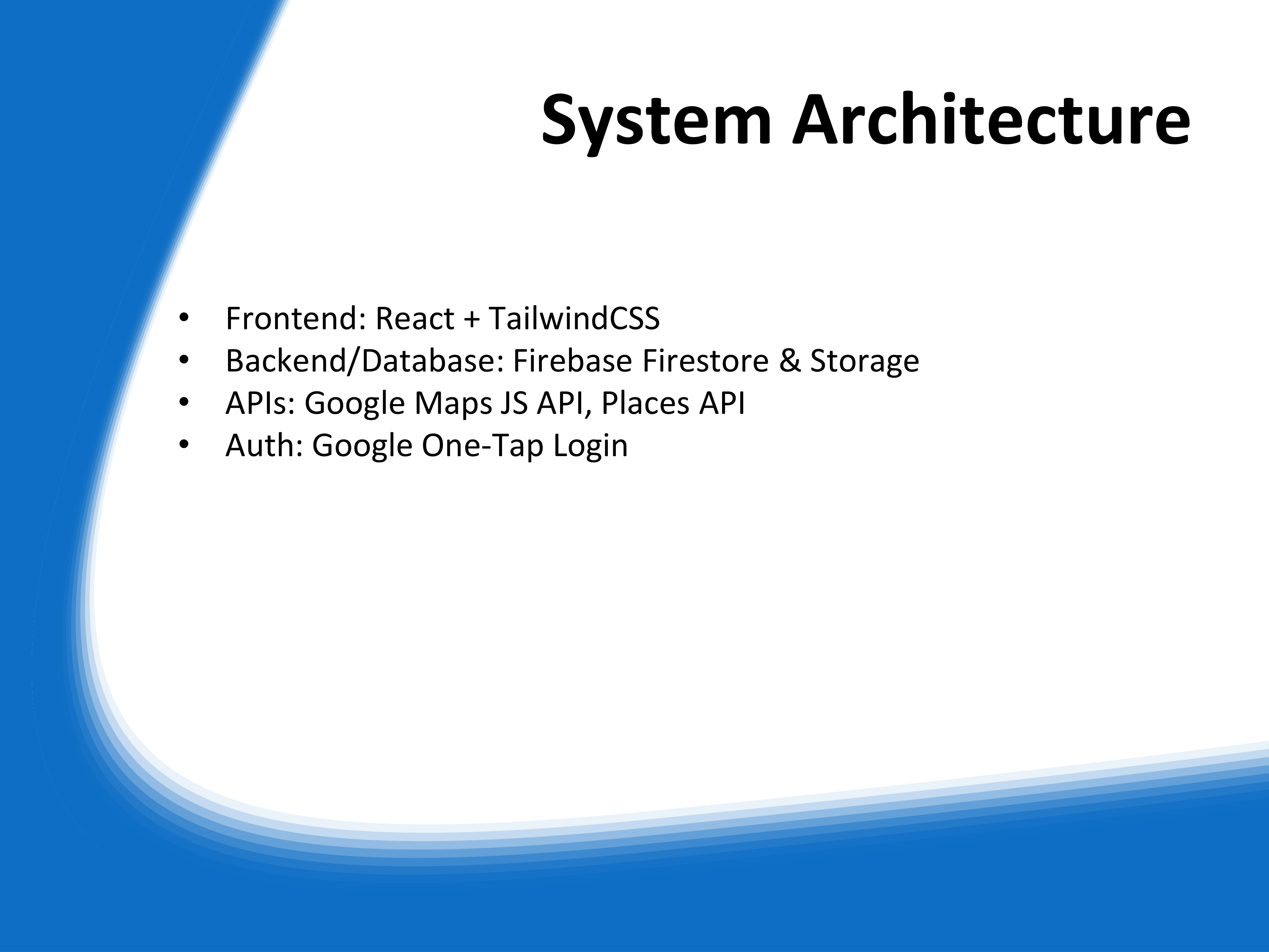
Next.jsfor the frontend UITailwindCSSfor clean and responsive stylingFirebase Firestorefor real-time issue storageFirebase Storagefor image uploadsFirebase Authenticationwith Google one-tap loginGoogle Maps JavaScript APIfor map rendering and geolocationGoogle Places APIfor location autocomplete- Dynamic marker logic based on issue type and stuff
Challenges I Faced
- Rate limits and restrictions with map APIs
- Ensuring smooth map performance while rendering multiple markers
- Handling geolocation accuracy and privacy considerations
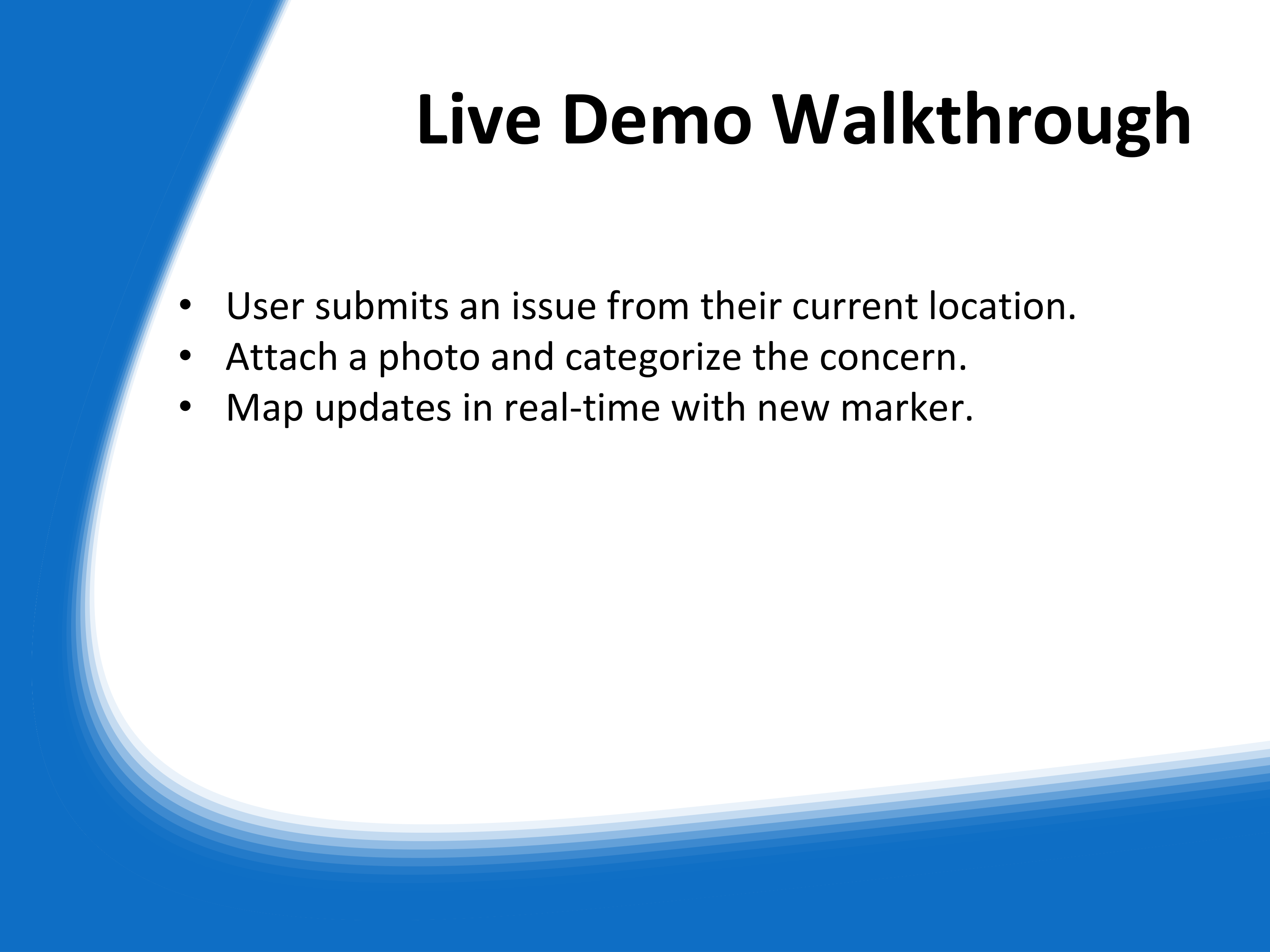
- Creating an intuitive reporting flow with image, location, and category inputs
Built With
- api
- firebase
- firestore
- javascript
- maps
- next.js
- places
- storage
- tailwindcss

Log in or sign up for Devpost to join the conversation.