Inspiration
Greece’s medicinal plants are part of its natural and cultural heritage, yet information about where they grow and which may be at risk is scattered across scientific databases. We wanted to make that knowledge useful to someone exploring the outdoors, teaching about biodiversity, or working to protect it.
What it does
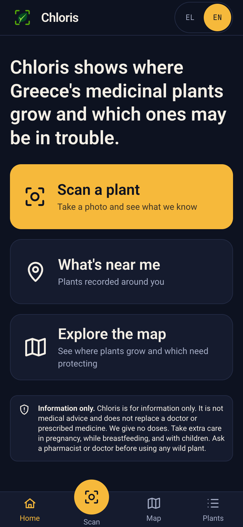
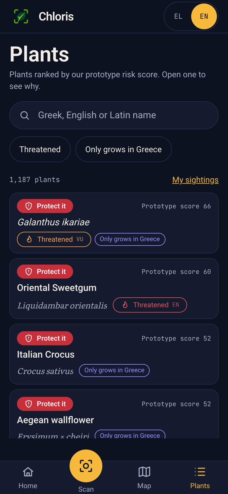
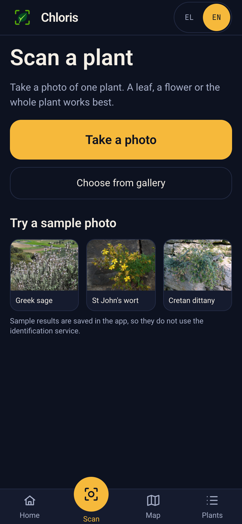
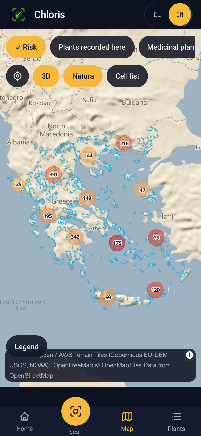
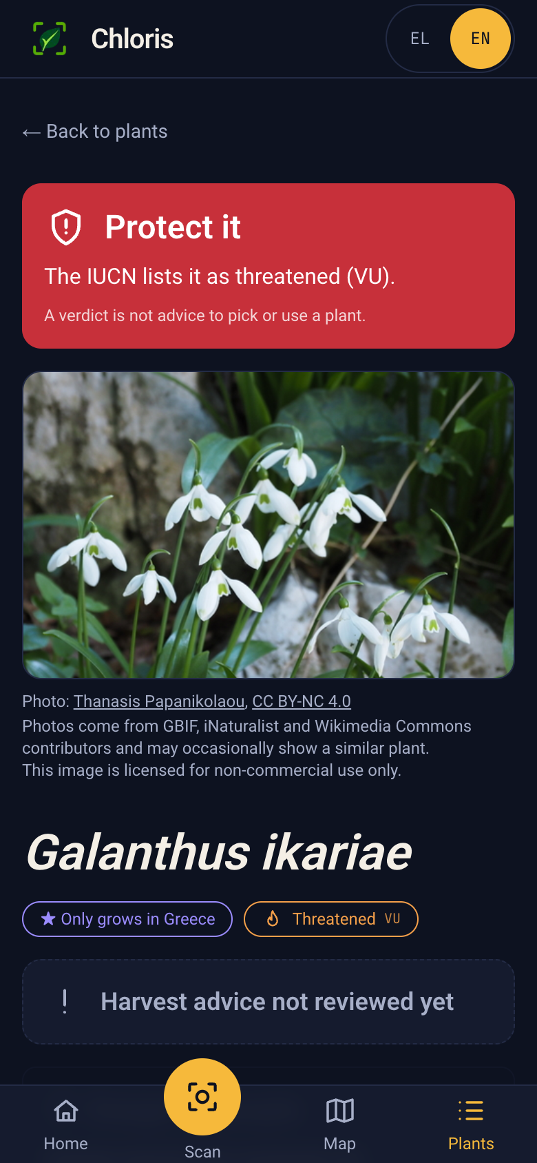
Chloris is a bilingual progressive web app (PWA) that users can add to their phone’s home screen, with a map and searchable catalogue of 1,386 plants native to Greece with a recorded medicinal use. It shows available observations and an explainable risk breakdown for each species. Users can identify a plant from a photo and record a sighting. Sensitive locations are displayed in approximate 10 km cells.
How we built it
We wrote a Python pipeline that combines Kew plant checklists and GBIF observations, resolves plant names, and generates the app’s data files. We built the app with Next.js, connected photo identification through Pl@ntNet, and use Firestore for sightings. Species photos are shown with their photographer and license credits.
Challenges we ran into
Plant names differ between datasets, and observation records are uneven across places and years. Some species lack enough data for a confident risk assessment; others lack a reusable photo. We also had to keep map markers on land around Greece’s islands and protect the precise locations of threatened plants.
Accomplishments that we're proud of
We turned a large collection of scientific records into a map people can explore on a phone. Chloris shows why a plant receives a risk score and says clearly when data is missing. We’re also proud that people can explore it in Greek or English and add the PWA to their phone’s home screen.
What we learned
A recorded medicinal use does not prove that a treatment works, and a sighting does not tell us how many plants grow in an area. We learned to show uncertainty openly, check image licences carefully, and treat conservation and location privacy as part of the product design.
What's next for Chloris
We want specialists to review more species guidance, improve coverage where data is sparse, and test the app with people in the field. As we add verified data for new regions, we plan to expand the map beyond Greece, across more countries and continents, with a worldwide plant atlas as the long-term goal. Future versions could also add expert verification of sightings and more current information about habitat threats.
Built With
- firebase
- firestore
- gbif
- maplibre
- next.js
- python
- react
- tailwindcss
- typescript
- vercel

