-
-

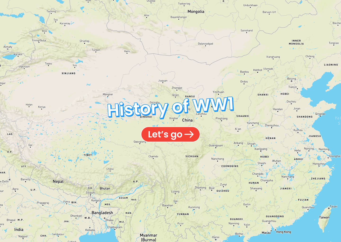
History of WW1
Inspiration
As a fan of history, I often find myself sketching maps to visually illustrate the evolution of a historical event. Recently, I've started doing research into WW1 and wanted to build a website where all history fanatics can come and learn about its intriguing events.
That's why I built this project!
What it does
WW1 Visualized is a website where people can visually learn about the events that drove World War 1, with an interactive map powered by Google Maps that adds a factor of intelligibility and fun to the experience.
How I built it
With a combination of React components, Google Maps Platform and a plethora of resources regarding WW1, building this project was a piece of cake... Well, except some challenges that I ran into.
Challenges I ran into
The traditional method of historical storytelling is done by displaying large blocks of text next to small maps. Therefore, naturally I was stumped by the idea of data visualization. How can I tell a historical story using nothing but a map and a timeline?
After playing around with various prototypes that all went into the trash folder, I ended up with "WW1 Visualized."
Accomplishments that I'm proud of
I'm happy about how the data visualization in "WW1 Visualized" turned out to be. The storytelling method used here mixes interactive maps with interactive timelines to bring about a delightful learning experience that anybody can enjoy.
What I learned
I was shocked about how easy map customization is with the Google Maps Platform. With nothing more than a tiny JSON configuration file, developers can create a wide range of experiences suitable for any domain. In addition to that, it offers various APIs and customization features to build on top of the default map and add anything imaginable.
What's next for "WW1, Visualized."
With how easy it is to follow a historical story with an interactive map-timeline experience, I plan on adding various events such as WW2, the history of Anglo-Saxons, and more.

Log in or sign up for Devpost to join the conversation.