-

Screenshot of the software
As a group we are passionate about the environment, and understand that one of the largest sources of CO2 emissions is the automobile industry. We don’t believe that the solution is electric cars, which only perpetuate the cycle of carbon emissions under the illusion of “sustainability.” Not to mention the various other negative environmental effects which come from mining the necessary critical metals to produce these vehicles, and the exploitation of the regions in which we mine these resources. We understand that public transportation is an incredibly effective way at minimizing carbon emissions, and we hope to spread our message through “Carbon Trainer.”
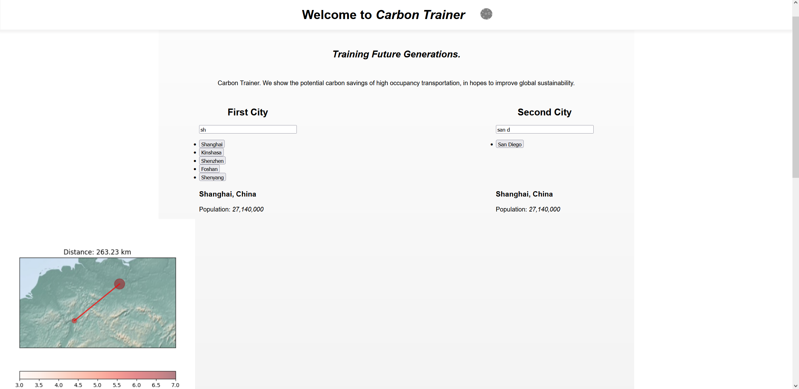
The user can choose two cities from a list of 1,700, and input the amount of people that travel from city to city, and our website will estimate the CO2 that would be produced in a day with and without a trainline between them. Then, a map is produced showing the fastest possible train line for visualization.
We were able to create a website by using ReactJS and a Python library called FastAPI.
We used GIS (Geographic Information Systems) in matplotlib (Python library) in order to produce maps that determined the shortest distance between two cities on the globe and plotted a train line between them. The cities are represented on the map by population. We created a formula based on information from the European Environment Agency and U.S. Green Technology to estimate the amount of CO2 emissions that could be saved if a train line were installed between two cities when a given number of people are traveling from city to city.
It was challenging to get so many softwares to work together well. One, for example, being the matplotlib GIS (Basemap), which had a very limited amount of documentation. One thing we did not have time for, was developing a model which could plot train lines around cities and geography. That would be the next step, as well as developing a more in depth CO2 emission model. Our biggest problem was that we can produce the maps, but displaying them on the web page properly is difficult.
We are very proud that we were able to produce relevant maps, and that our website can combine so much software to create an almost viable consumer ready product. We hope that this base product will have the potential to sway people to support environmental causes like the movement for public transportation in the future.
Built With
- fastapi
- javascript
- python
- react

Log in or sign up for Devpost to join the conversation.