Inspiration
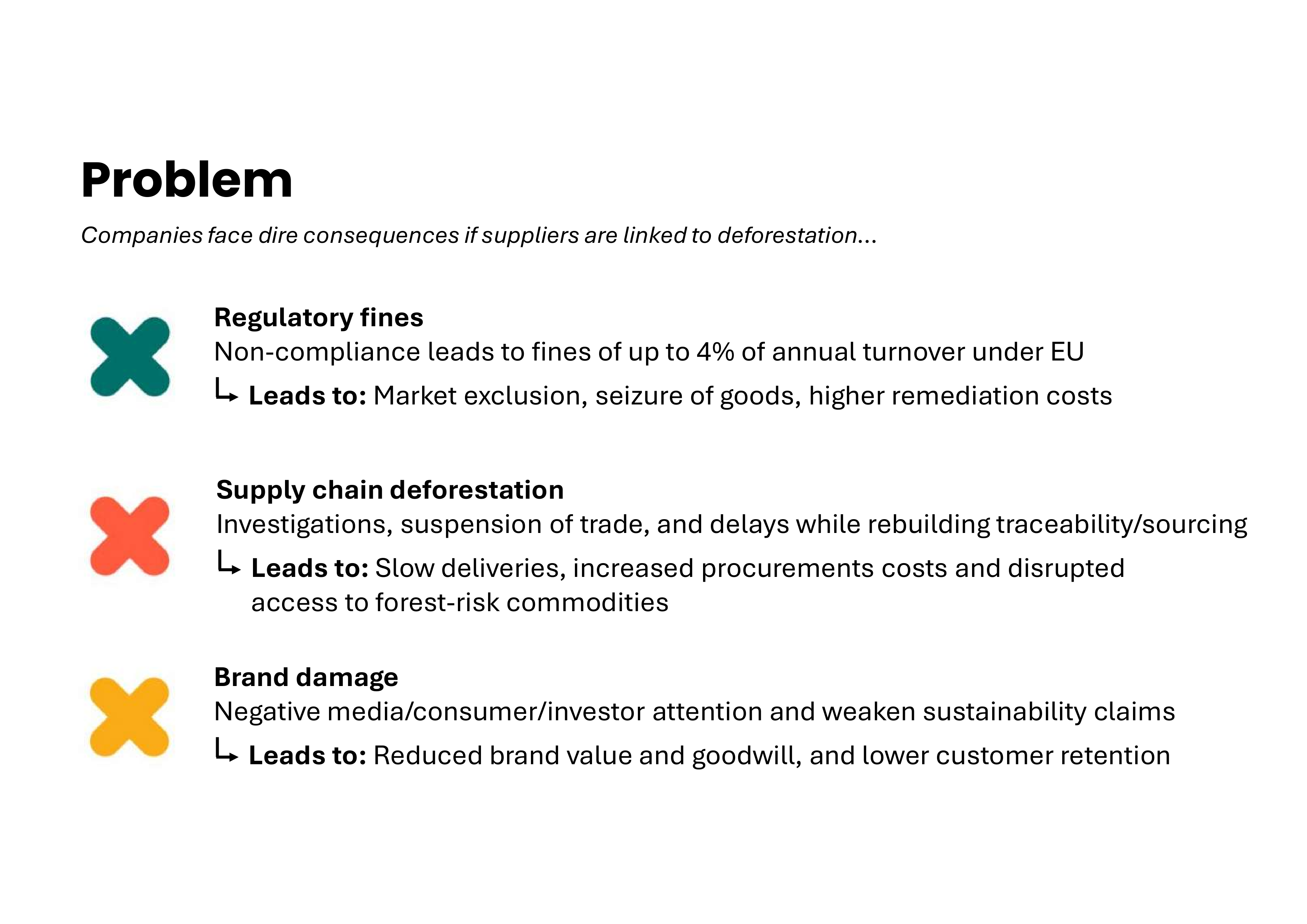
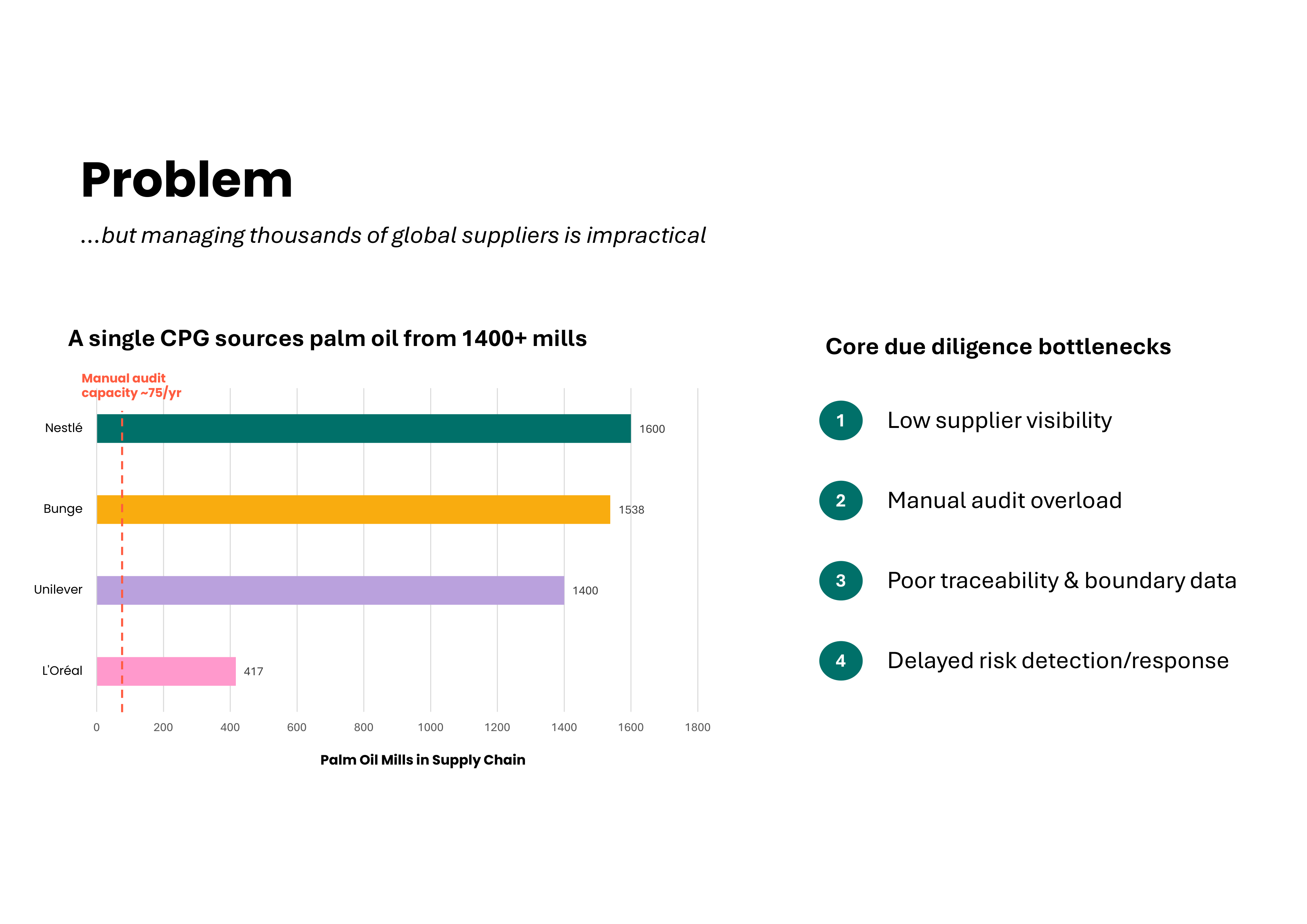
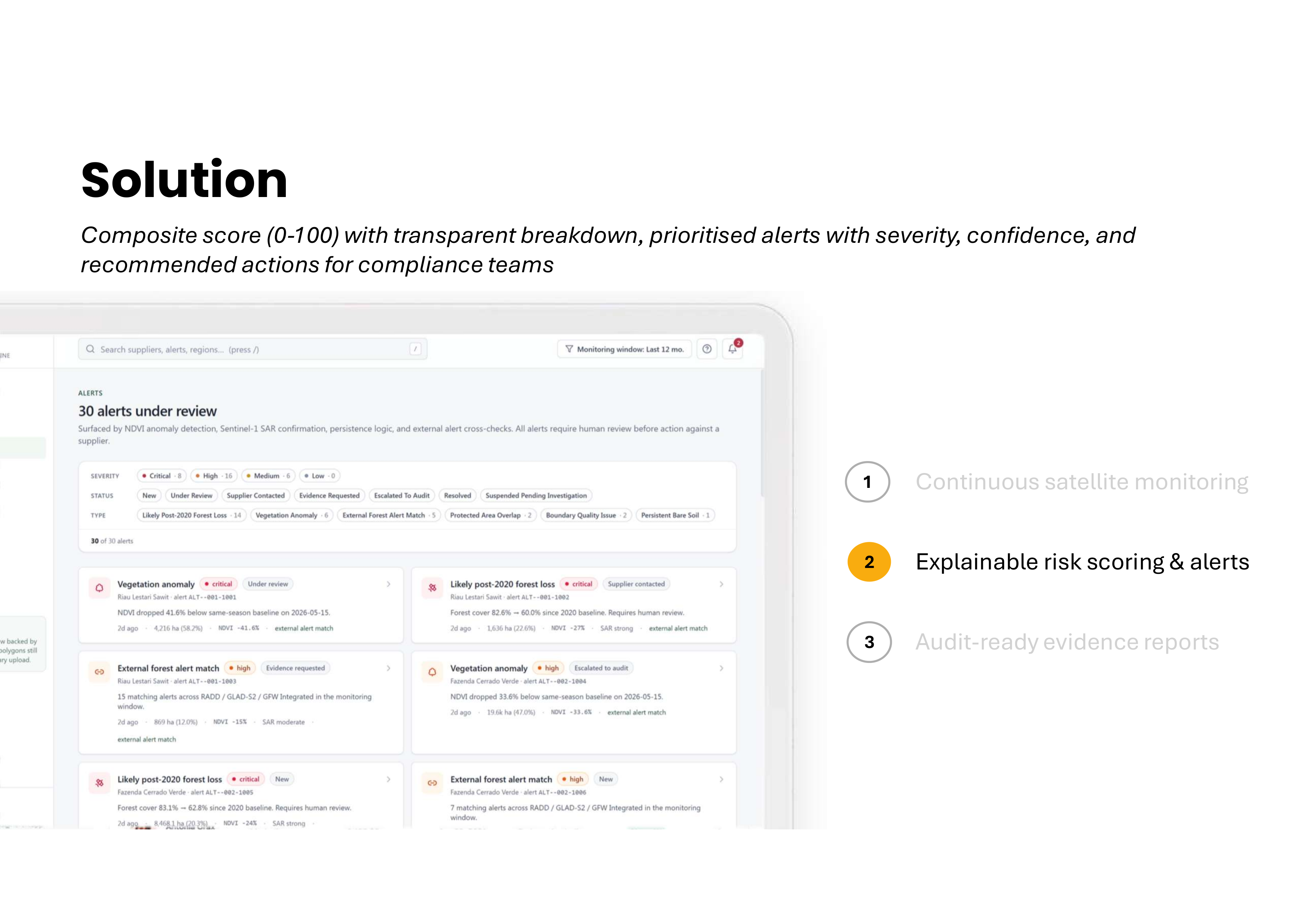
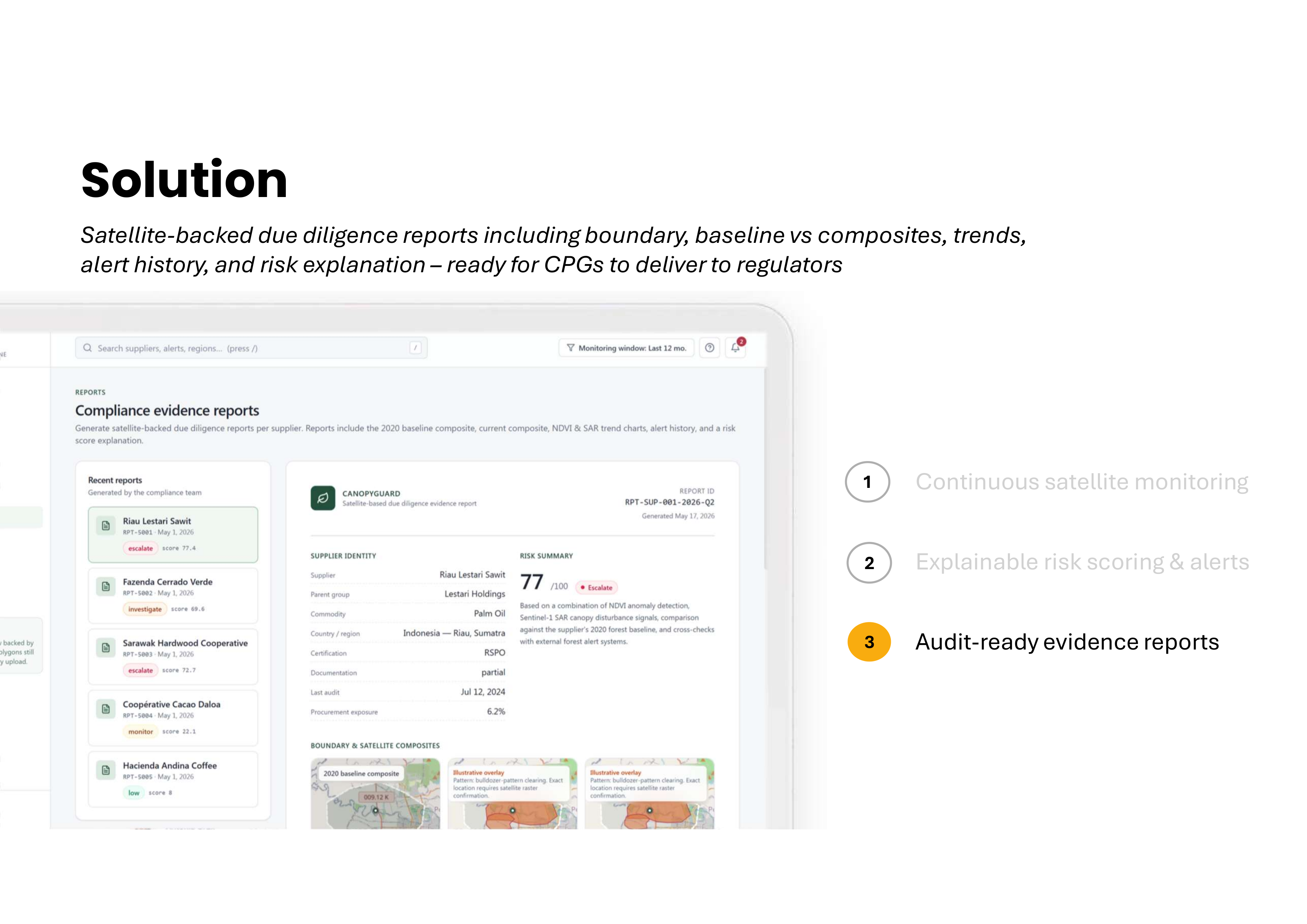
The recent EUDR puts growing pressure on CPG producers to monitor overseas supply chains for risks of deforestation. The high physical audit costs and extensive time spent on compliance can be reduced through the use of CanopyGuard, which centralises all risk management processes and also flags suppliers at high risk of deforestation based on satellite data in order to perform targeted physical audits.
What it does
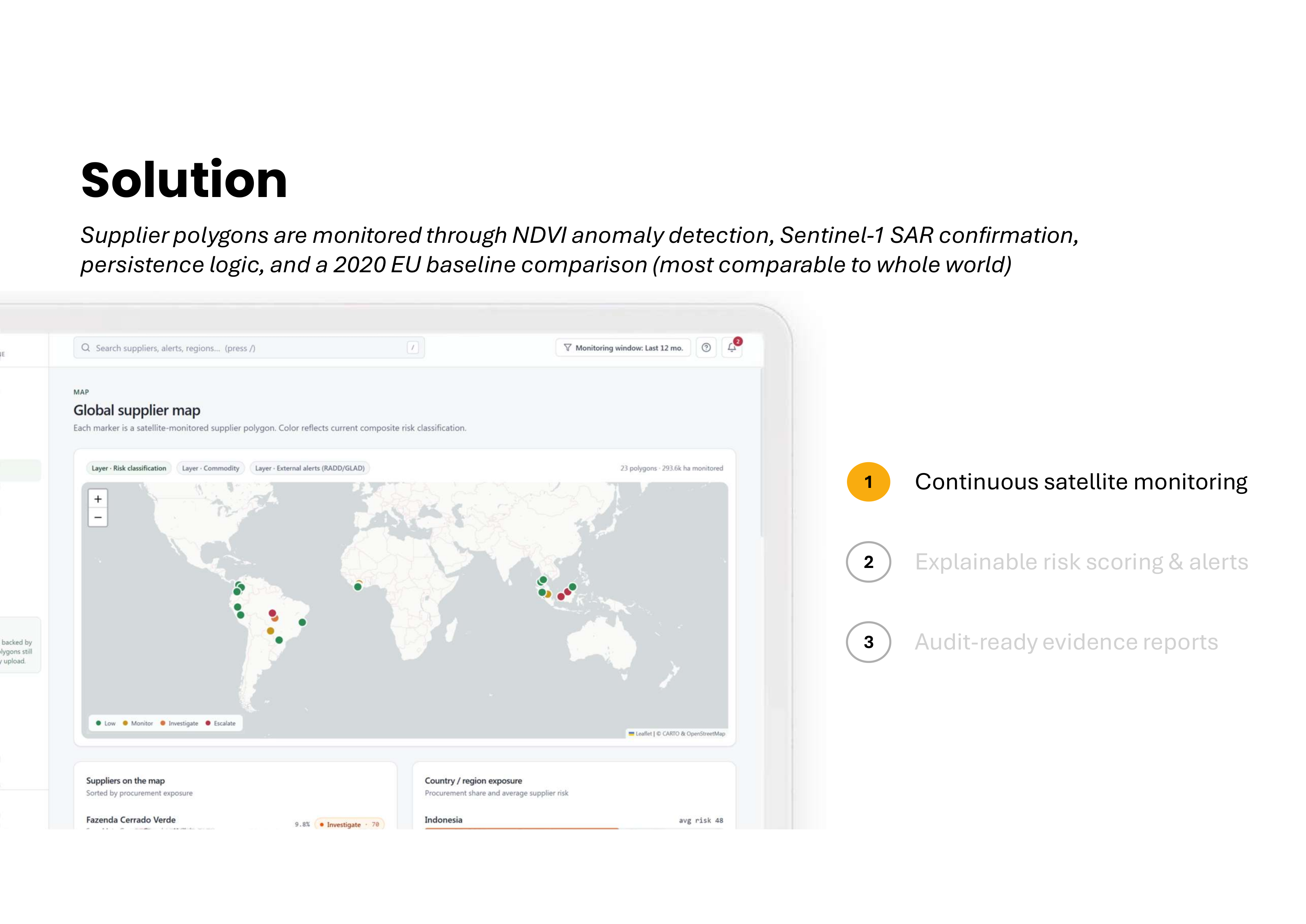
The tool works in several phases. Firstly, data analytics is performed by taking commodity supplier boundary polygons and looking at historical patterns to identify anomolous sensor data that would put it at deforestation risk. Our model used mock data, but a fully fledged product would use API calls to Earth Engine, pulling from satellite data such as Sentinel-1 and 2, to get SAR and NDVI readings.
How we built it
We created a structured layout of what functions would be introduced, as well as the languages and stacks to be used, then vibecoded the product, performing numerous error checks and optimisation along the way.
Built With
- claude
- css
- leaflet.js
- next.js
- tailwind
- typescript

Log in or sign up for Devpost to join the conversation.