Inspiration
Personal frustration with the city busses lack of consistency. Arrival and departure times are totally fictional making the bus system very hard to use. Many people, including myself, opt for transportation options that pollute more and create congestion.
What it does
We use peoples' locations gained through their smart phone, using an app, to learn bus locations. We also use machine learning to learn what days and traffic conditions cause buses to run behind schedule and create accurate arrival and departure estimates.
How we built it
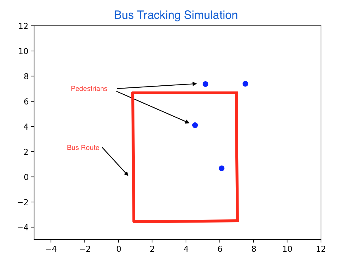
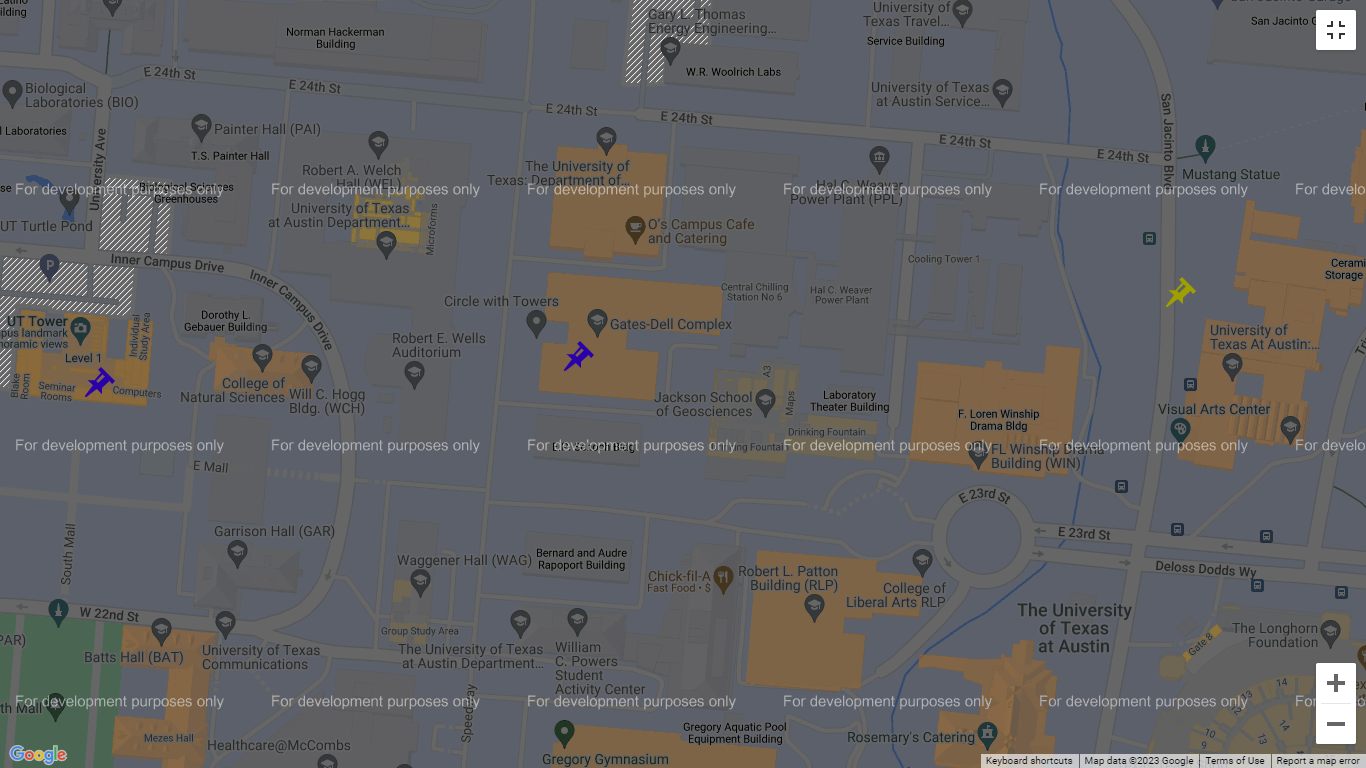
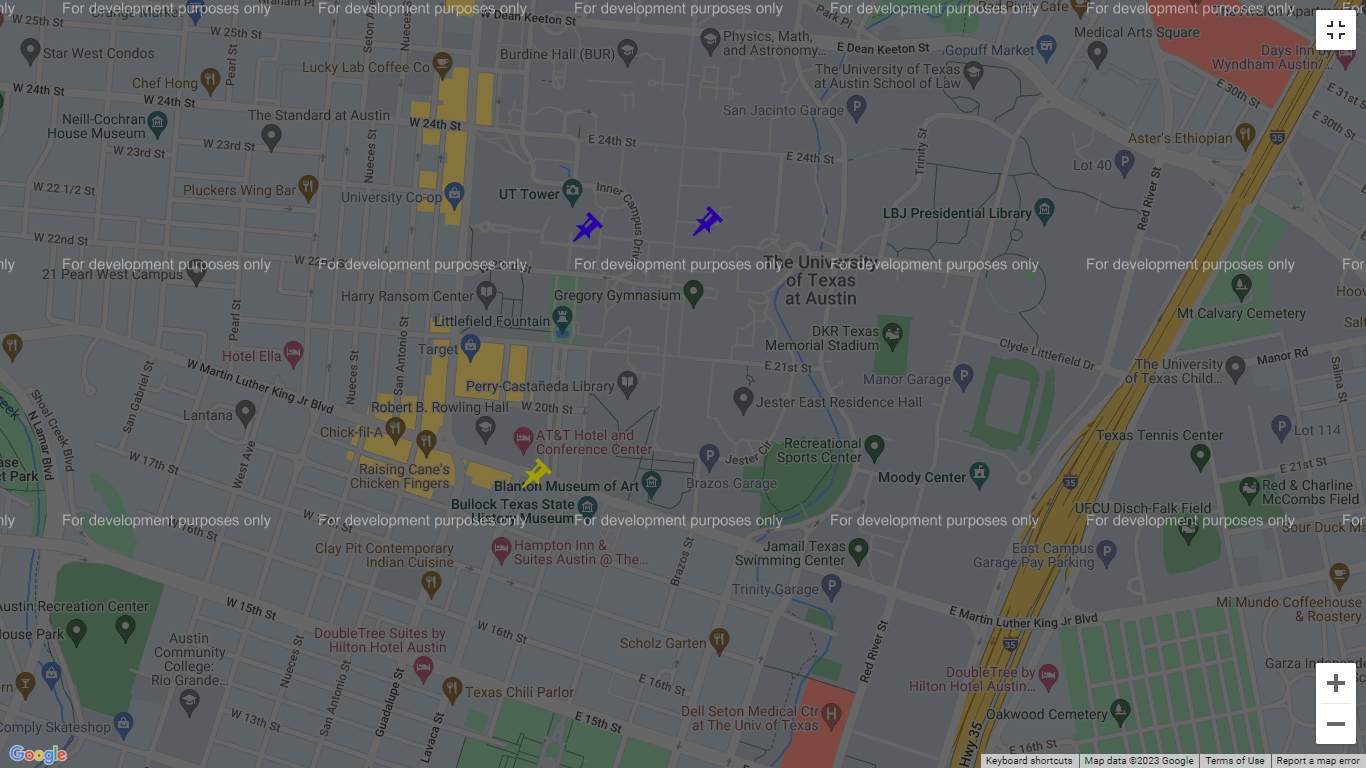
We used Flask for the backend, the react framework in Java Script for the user side of the application. We used google maps api to display a map and obtain coordinates. Python for pedestrian and bus path simulation and detection.
Challenges we ran into
We were able to individually develop the front end and the backend however we were not able to combine the two into a full project. The front end displays the pedestrians and the detected bus routes. The backend analyzes the pedestrian positions and outputs a possible bus route. The issue is that the backend only uses dummy data and doesn't grab the GPS coordinates from the user's data.
Accomplishments that we're proud of
We were genuinely surprised that we were able to develop a front end using the Google Maps API and display markers that would show the pedestrian and bus locations. Additionally, we were surprised to create an accurate bus detection algorithm with python.
What we learned
Connor and Rohan only had little experience with React.js but were able to produce a decent front end with good functionality.
What's next for Bustrophobia
Finish the connection between the python algorithm, the front end with GPS location, and store and update the GPS information in a data server.

Log in or sign up for Devpost to join the conversation.