Inspiration
Bradbury Landing is the site where NASA's Curiosity rover landed inside Gale Crater on Mars.
I wanted to explore a simple question: how different does a Mars environment feel when the playable landscape is based on real elevation data instead of terrain created only for visual effect?
The result is Bradbury Landing Drone Explorer, a small interactive prototype where the player pilots a drone over a reconstruction of the landing area.
What it does
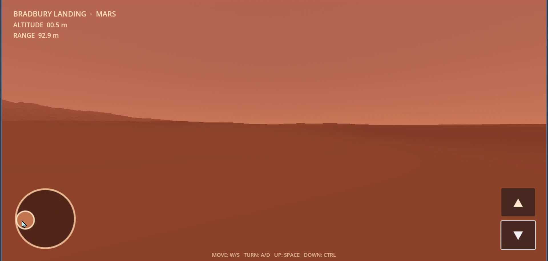
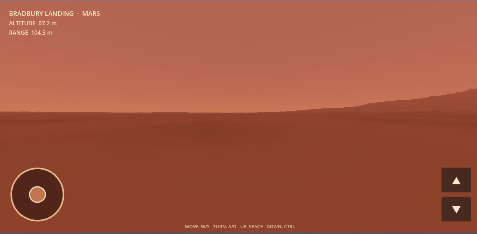
The experience starts directly from the drone's onboard camera at Bradbury Landing.
The player can:
- take off and descend
- fly forward and backward
- rotate through 360 degrees
- explore at different altitudes
- travel within an approximately 1 km operational radius
- climb up to 50 meters above local terrain
- enter a low-hover state
- land deliberately and relaunch
The terrain itself is the main feature of the project.
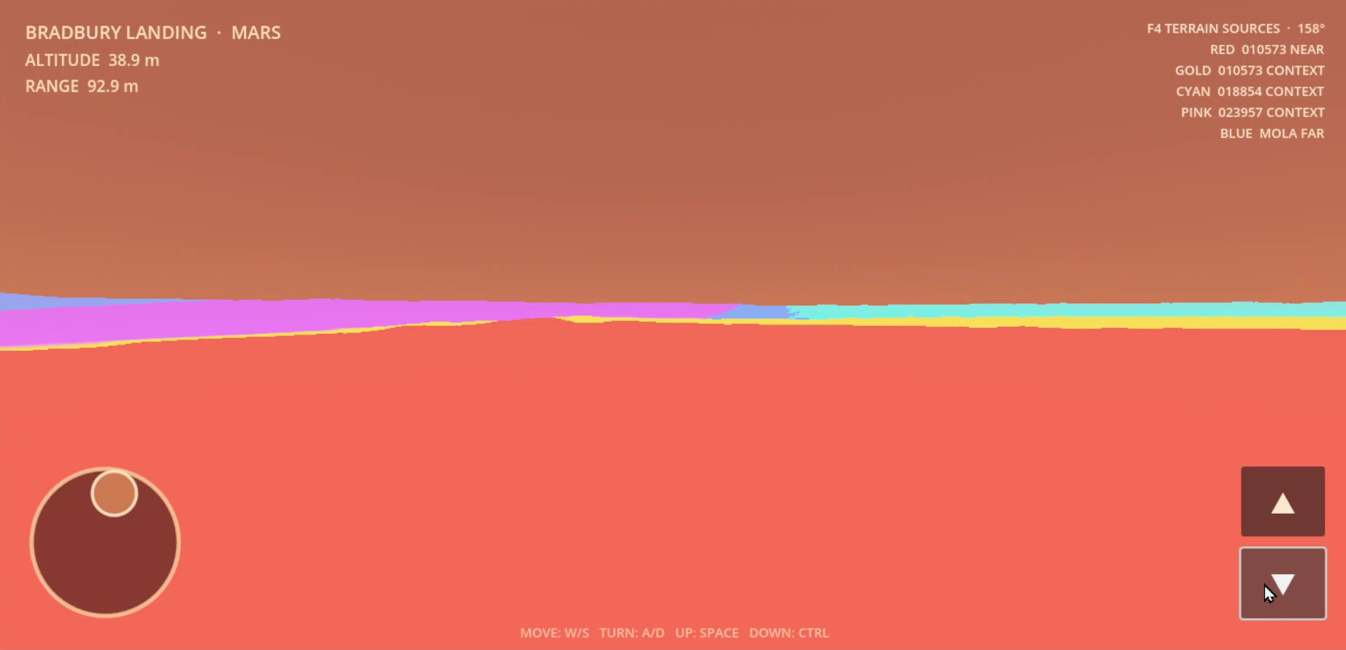
Detailed local terrain is derived from HiRISE digital terrain models, while MOLA elevation data extends the landscape into the distance.
A debug view can also display the ownership of the different terrain sources, making the data composition visible during exploration.
How I built it
The interactive application was built in Godot using GDScript.
Planetary terrain data is prepared offline before being loaded by the game.
The terrain pipeline uses:
- HiRISE digital terrain models for detailed near and intermediate terrain
- MOLA MEGDR elevation data for distant terrain and the horizon
- GDAL and Python for offline terrain processing and validation
- validity masks to avoid inventing terrain where detailed source data is missing
- render-only interpolation for coarse MOLA terrain
- Mars curvature adjustment for the distant landscape
- chunked terrain meshes for interactive rendering
The playable area uses the detailed HiRISE terrain as its authoritative elevation source. MOLA is used only for visual distant terrain and does not affect flight safety or landing calculations.
Challenges
The hardest part was not simply displaying the elevation data, but making several real datasets appear as one continuous landscape.
Different HiRISE products contain separate coverage areas and small vertical differences. There were also real gaps between detailed datasets.
At one point those gaps produced visible cuts in the horizon. MOLA contained valid elevation information behind them, but the first rendering approach accidentally removed some of its coarse faces near HiRISE boundaries.
I added source-aware terrain ownership, local render corrections, denser visual interpolation for MOLA, and transition geometry derived from the existing samples.
Another challenge was surface rendering. An early lit regolith shader created small bright artifacts across the landscape. For this prototype I chose a simpler broad-color terrain material so the terrain shape remains clean and readable.
What I learned
This project taught me that real-world terrain integration is as much about provenance and transitions as it is about polygon count.
A detailed local DEM can look convincing near the player, but the illusion breaks immediately if the distant terrain, horizon, or neighboring datasets do not connect correctly.
I also learned the value of separating scientific source resolution from visual render resolution. MOLA remains at its native source resolution, while additional render geometry can interpolate between those samples without pretending to add new scientific information.
Accomplishments
The final prototype provides a continuous explorable representation of Bradbury Landing from ground level to a 50 meter flight altitude.
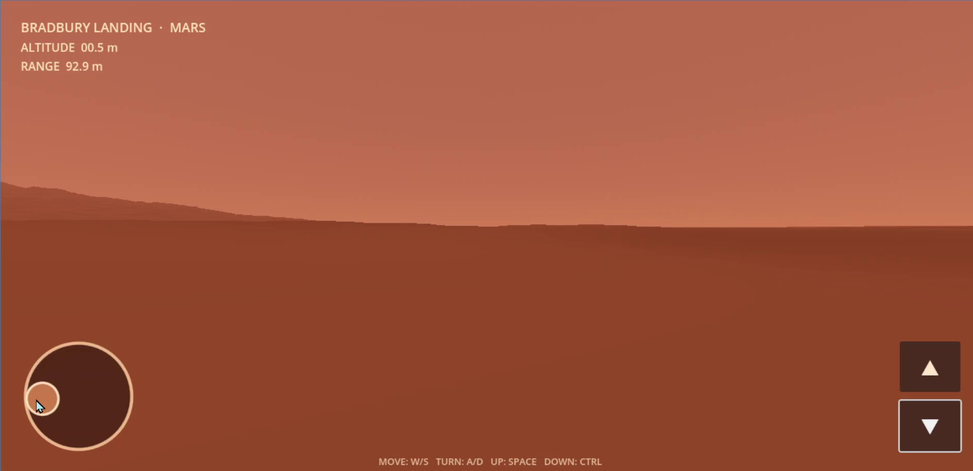
One of my favorite results is that local depressions in the real terrain can completely hide the landscape behind them when the drone flies close to the surface. At higher altitude, those same features become part of the larger Gale Crater landscape.
The landscape is not procedurally invented. Its large-scale form comes from real Mars elevation datasets.
What's next
This prototype could be extended with improved lighting and terrain materials, additional Mars landing sites, terrain LOD optimization, and more detailed scientific visualization.
The terrain pipeline developed here can also serve as a foundation for future interactive Mars environments.

Log in or sign up for Devpost to join the conversation.