-
home pag

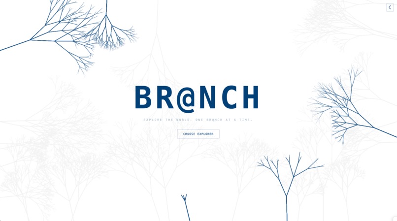
BR@NCH
Inspiration
BR@NCH was born from a structural idea: exploration should feel cumulative. In games, skill trees visually represent growth — each action unlocks new branches. That visual logic is powerful because it makes progress tangible. We wanted to apply that same graph-based progression to real-world movement.
Instead of treating the map as a search engine, BR@NCH treats it as a living structure. You begin at a root location and physically expand outward. Every visited place becomes a node in a growing graph. The result is not just navigation — it is visible, personal expansion through space.
This structure feels novel because your movement generates geometry. The map evolves based on where you go. It is not a static interface; it is a personal branching artifact of your life.
What it does
BR@NCH is a real-time, graph-driven exploration platform that turns neighborhoods into expanding trees.
Rooted starting point: Each user begins with a root waypoint — home or any meaningful location. This becomes the trunk of their exploration graph.
Visit with intention: Mark a location as visited and immediately reflect through a guided journal prompt. Exploration is paired with mindfulness.
Automatic spatial branching: Upon visiting, the system queries nearby points of interest and attaches them as child nodes. New physical movement unlocks new graph depth.
Graph-first visualization: Locations render on a live Leaflet map and are visually distinct by category. Unvisited nodes subtly animate to suggest opportunity.
Hierarchical navigation panel: A sidebar renders the nested waypoint tree, allowing structured traversal of your spatial history.
Immutable journaling: Each user-location pair stores a single persistent reflection. Revisits surface prior thoughts, reinforcing memory and growth.
The system transforms passive movement into intentional discovery. Exploration becomes structured, visible, and reflective.
How we built it
Tech Stack
| Layer | Technology | Rationale |
|---|---|---|
| Backend | Python 3.10+, Flask 3.0, SQLAlchemy 2.0 | Lightweight, explicit architecture with strong typing. |
| Database | SQLite (dev), MySQL-ready | Simple development workflow with production scalability. |
| Frontend | React 18, TypeScript, Vite | Deterministic state management and type safety. |
| Styling | Tailwind CSS | Rapid iteration and consistent theming. |
| Maps & Geo | Leaflet, CartoDB tiles, Photon (OSM), Nominatim | Open, reliable geospatial tooling. |
| Code Quality | Black, isort, mypy, pytest | Enforced correctness and maintainability. |
Architecture
Backend:
- Request-scoped sessions ensure safe ORM lifecycle handling.
- Waypoints stored in flat format with JSON children references for flexible tree reconstruction.
- Journal entries constrained per (user, waypoint) pair for deterministic behavior.
- External POI querying handled with retry logic and failure tolerance.
Frontend:
- Centralized API orchestration logic isolates side effects.
- Predictive prefetching reduces perceived latency.
- Stable references prevent race conditions in async flows.
- Animations handled in CSS to preserve rendering performance.
Data Models
| Model | Key Fields | Notes |
|---|---|---|
| User | id, username, lat, lon, root_waypoint_id | Indexed for efficient spatial lookup. |
| Waypoint | id, api_id, lat, lon, name, children, visited, visited_at | Tree reconstructed dynamically. |
| JournalEntry | id, user_id, waypoint_id, content, created_at | Immutable per user/location pair. |
Key Implementation Details
- Accurate Haversine distance calculations for geospatial correctness.
- Indexed latitude/longitude for fast bounding-box queries.
- Deduplication against existing API IDs to prevent redundant nodes.
- ISO timestamp serialization for consistent frontend parsing.
- Graceful fallback handling for incomplete external POI metadata.
Challenges we ran into
1. External POI Reliability
Free open-source POI services introduced rate limits and inconsistent availability. Mitigations:
- Migrated to Photon for improved stability.
- Implemented exponential backoff retry logic.
- Reduced redundant calls through client-side caching.
- Designed system to degrade gracefully if discovery fails.
2. Scaling the Graph
As trees deepened, rendering and loading became more expensive. Mitigations:
- Predictive prefetching of likely next nodes.
- Local caching keyed by parent ID.
- Lazy rendering of non-visible nodes.
- Ensured all optimizations were additive — not required for correctness.
Accomplishments that we're proud of
Graph-native interaction model: The core mechanic — real-world branching — is structurally distinct from traditional mapping tools.
Meaningful exploration: Users do not simply collect locations; they reflect on them. Journaling ties movement to memory.
Community potential: By anchoring users to geographic roots, the system naturally supports neighborhood discovery and social connection.
Performance-aware engineering: Spatial indexing, caching, and async orchestration maintain responsiveness even as trees grow.
Type-safe system design: End-to-end type contracts prevent silent failures and integration drift.
Intentional UI: Visual pulsing, structured hierarchy, and clean map rendering reinforce the graph metaphor.
What we learned
Software Architecture
- Clear separation between data layer and orchestration logic simplifies reasoning.
- Contract-first API design enables parallel frontend/backend development.
- Predictive optimization must not compromise deterministic behavior.
Geospatial Systems
- Accurate distance metrics matter even at neighborhood scale.
- External geo services require defensive parsing and timeout handling.
- Indexing lat/lon columns yields significant performance gains without specialized extensions.
State & UX
- Prefetching transforms perceived performance.
- CSS-driven animations outperform JavaScript-driven ones for simple motion.
- Visual structure strongly influences user engagement.
Product Insight
- Discovery feels different when it is revealed rather than searched.
- Reflection increases attachment to place.
- A visible graph of movement creates a sense of ownership over exploration.
What's next for BR@NCH
Short term
- Persistent authentication across devices.
- Shared exploration trees between friends.
- Personal analytics dashboards (distance, categories, time-based heatmaps).
Medium term
- Mobile-native implementation with offline capability.
- Social sharing of partial tree segments.
- Achievement system tied to exploration depth and diversity.
Long term
- Preference-aware POI surfacing based on interaction history.
- Public exploration networks connecting neighborhoods globally.
- Integration with real-world events to seed new branches dynamically.
Built for QuackHacks 2026 by Matt Mammano, Nick Messina, Nick Mirigliani, and Rishi Raj.
Built With
- black
- cartodb
- css
- flask
- isort
- leaflet.js
- mypy
- mysql
- nominatim
- photon
- pytest
- python
- react
- sqlalchemy
- tailwind
- tenacity
- typescript
- vite


Log in or sign up for Devpost to join the conversation.