-
-
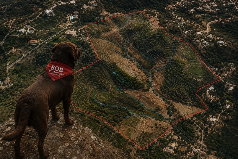
BOB - AI Territory Inspector
-
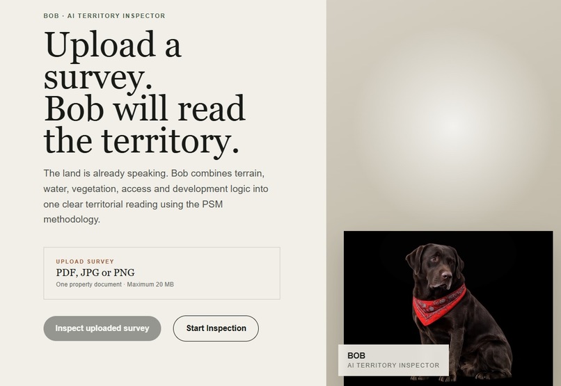
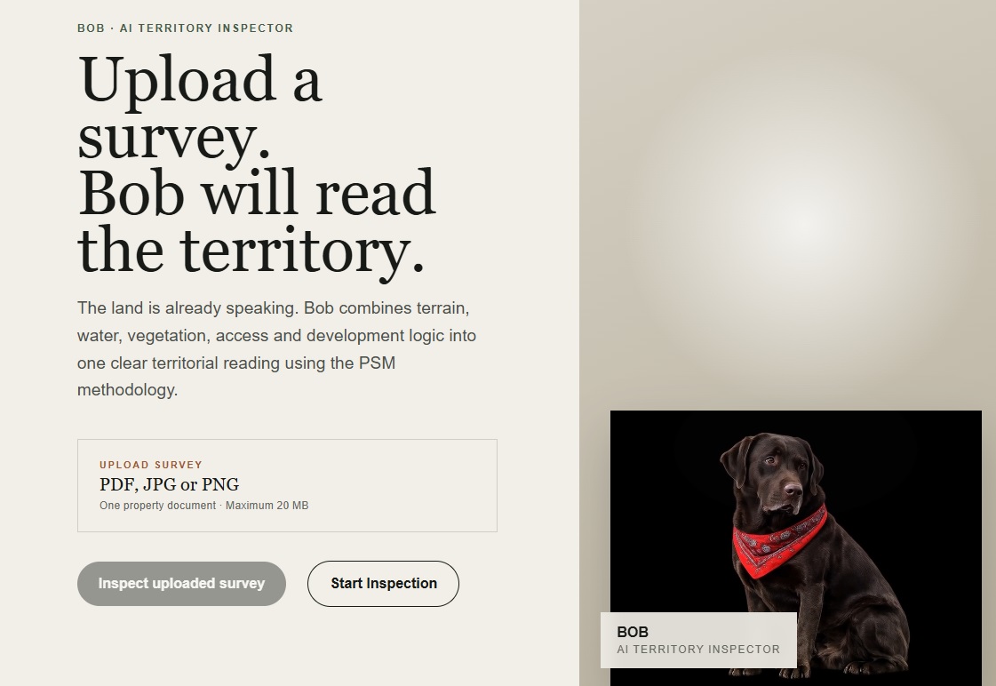
Welcome to BOB - Upload your survey
-
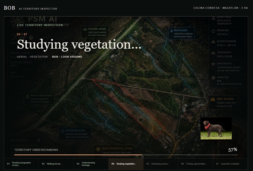
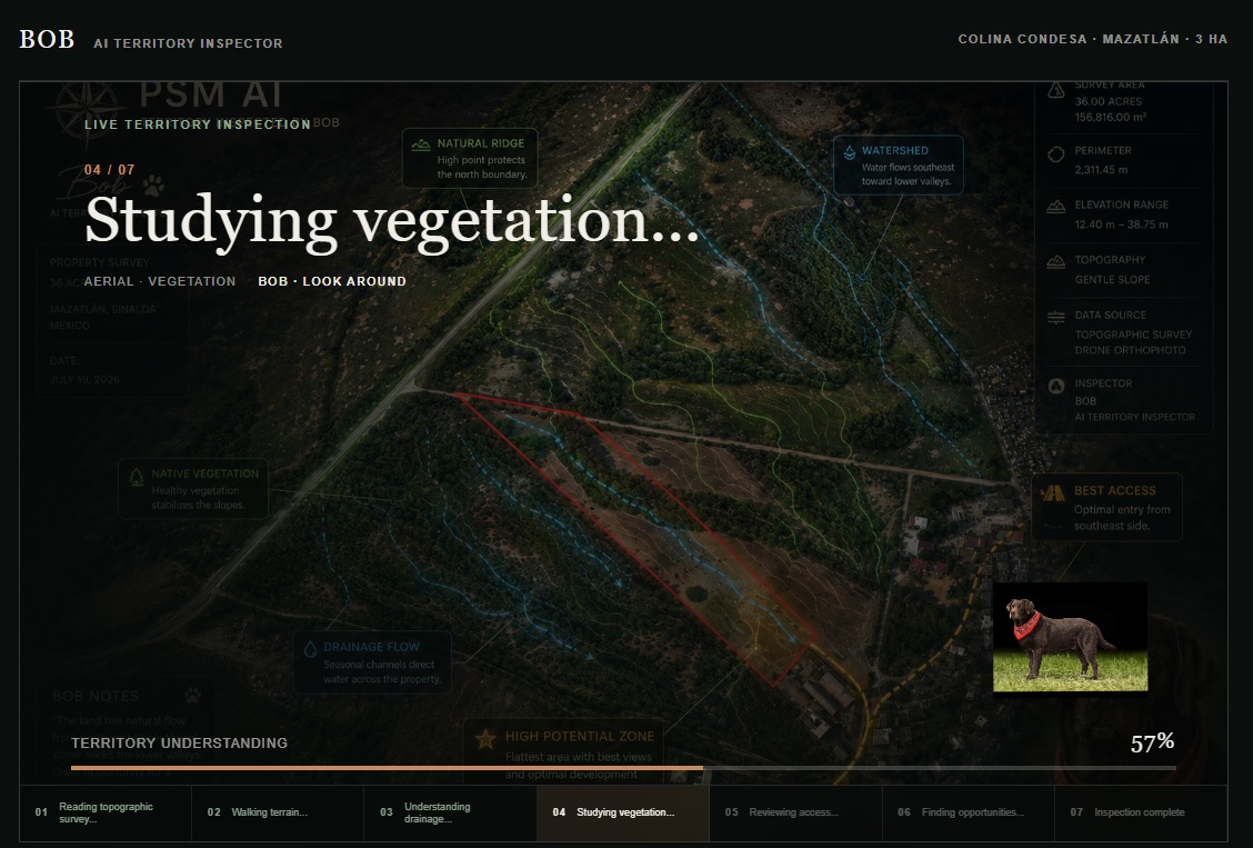
Bob Inspects the Territory
-
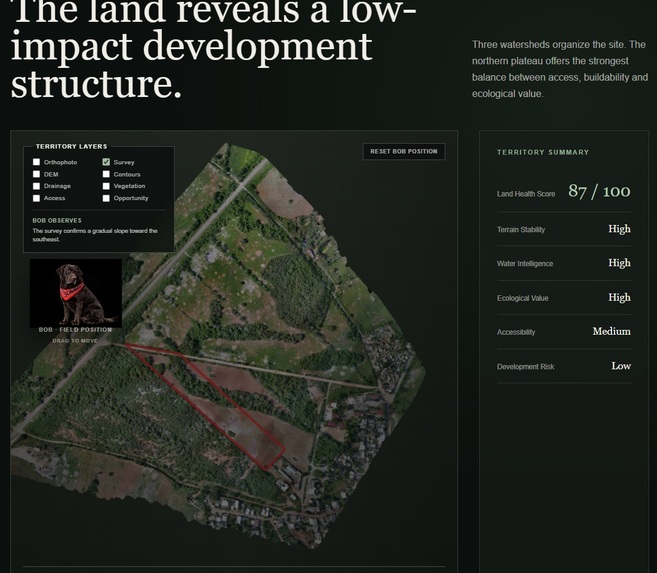
Survey Analysis
-
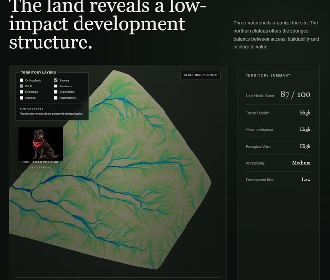
Terrain Intelligence (DEM)
-
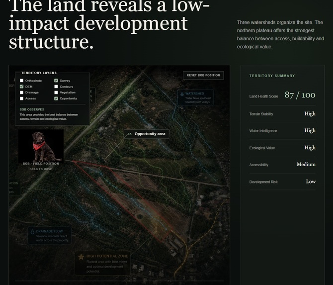
Development Opportunities
-
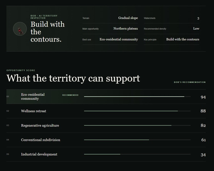
Opportunity Score
-
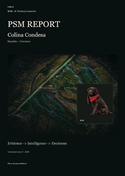
PSM Report
-
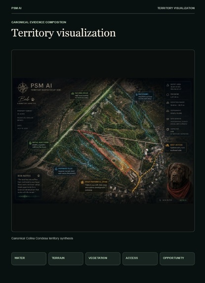
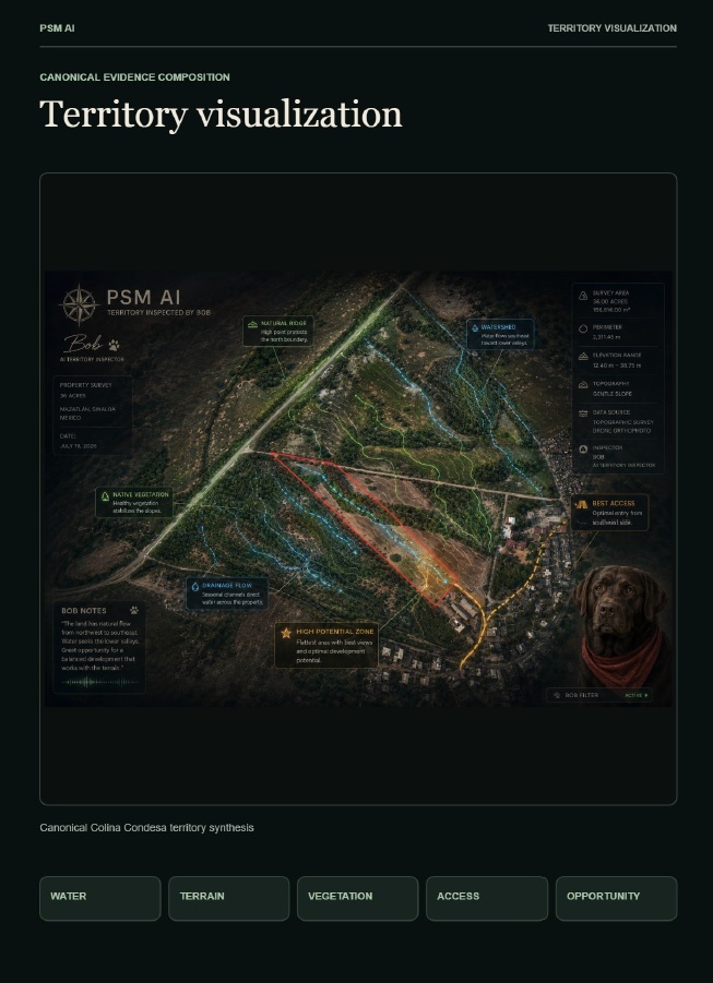
Territory Visualization
-
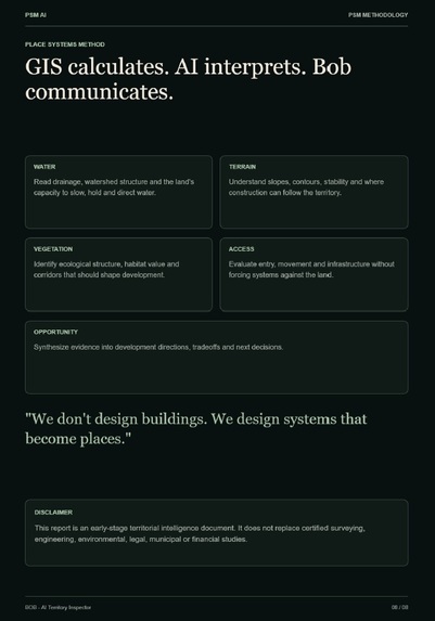
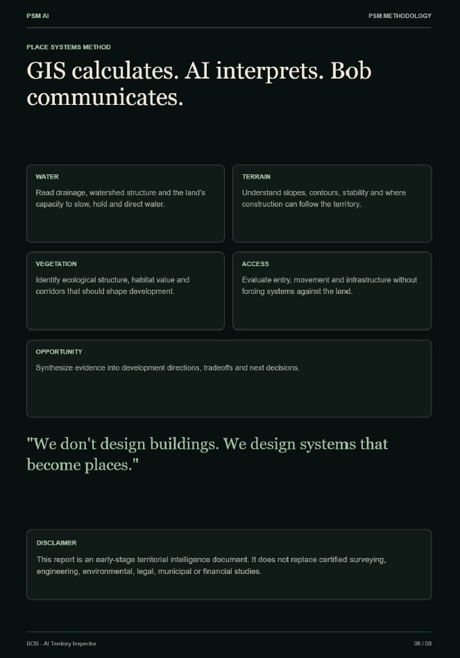
Gis calculates - AI interprets - Bob communicates
-
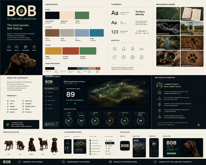
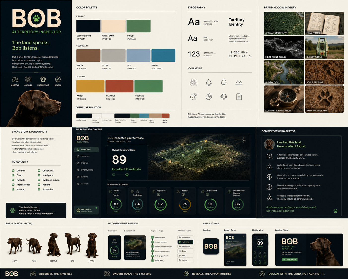
Branding
-
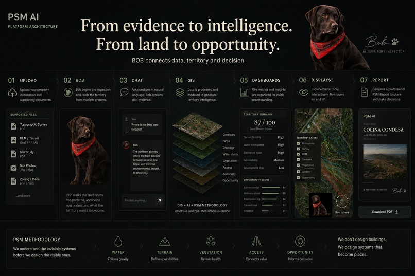
Project Resume
Inspiration
For the past 16 years, I have worked as an architect, urban planner, and land developer.
Throughout my career I noticed the same problem repeated on every project.
Surveyors analyze terrain.
Civil engineers analyze drainage.
Biologists analyze vegetation.
Urban planners analyze regulations.
Architects design buildings.
Each discipline understands only one piece of the territory.
Nobody understands the territory as a whole.
Over the years I developed a methodology called PSM (Place Systems Method) to connect these invisible systems before architecture begins.
The philosophy is simple:
We don't design buildings.
We design systems that become places.
BOB was created to transform that methodology into an AI product.
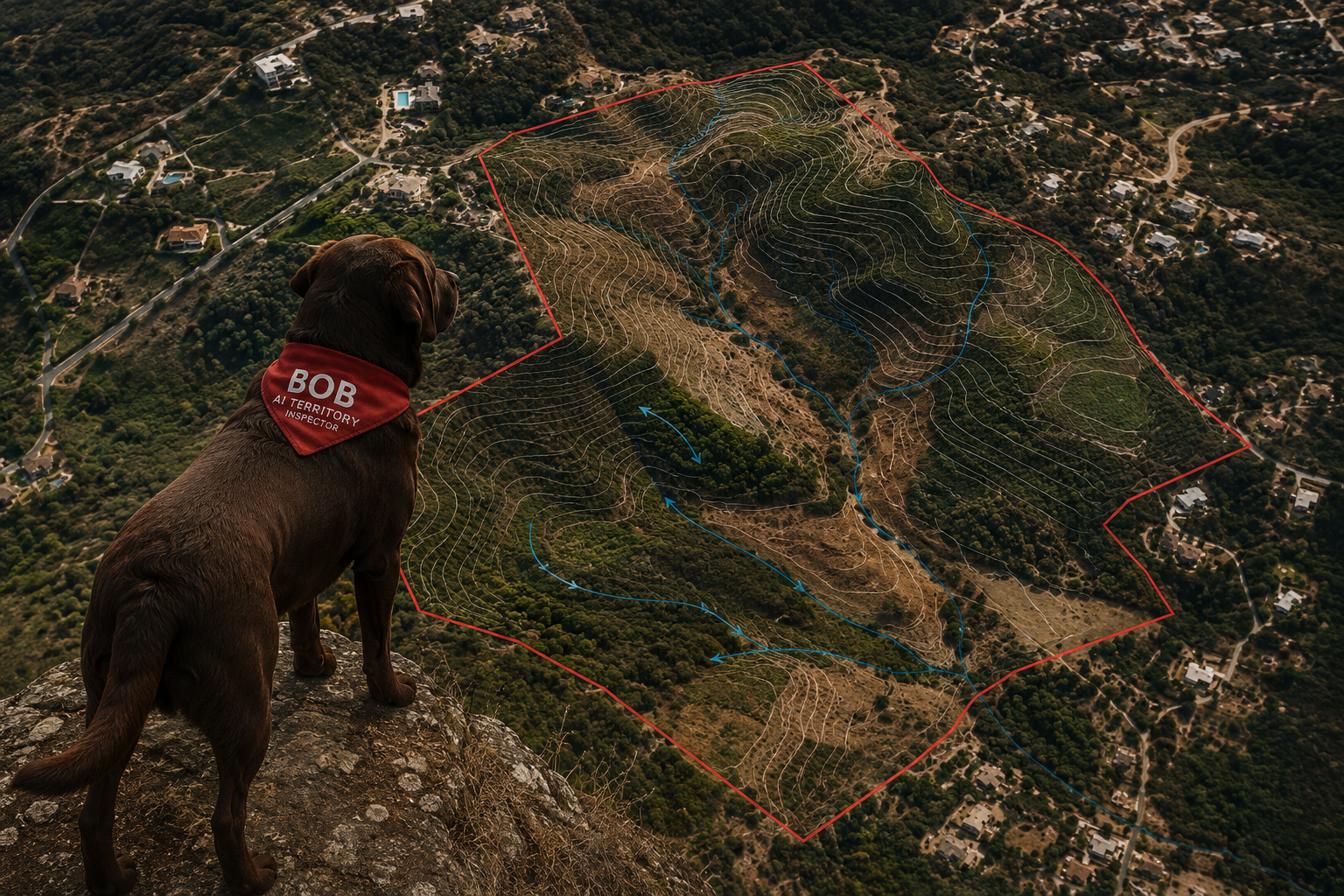
Named after my Labrador, Bob is not a chatbot.
He is an AI Territory Inspector whose role is to walk through the evidence, understand the relationships between natural systems, and help people discover what the land wants to become.
What it does
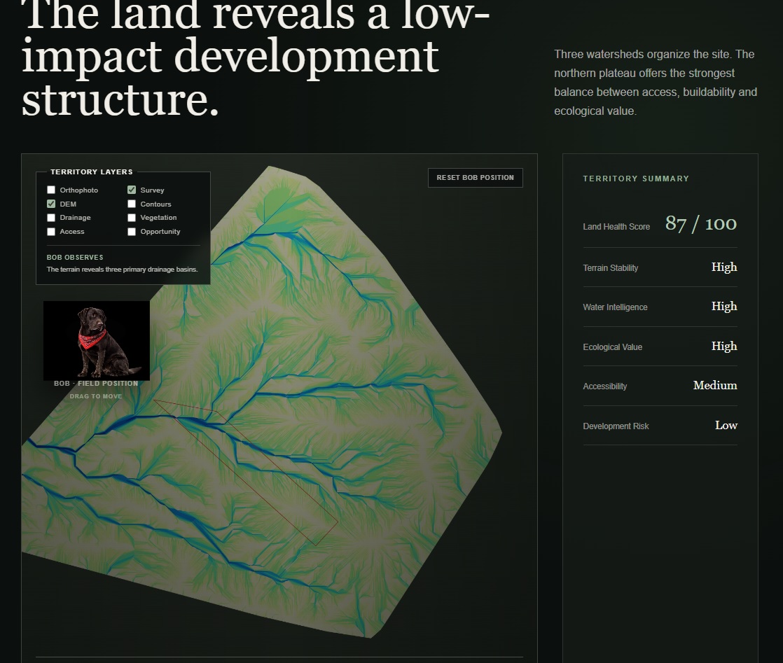
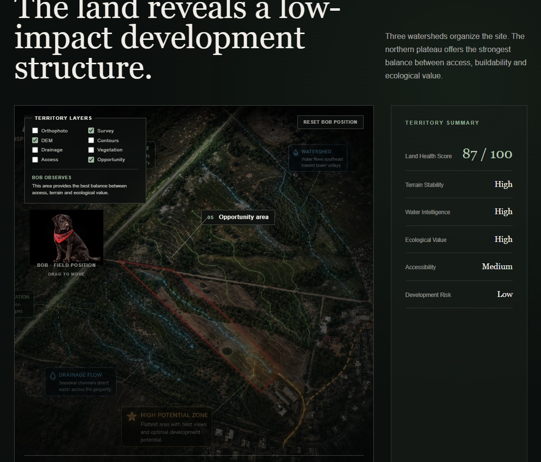
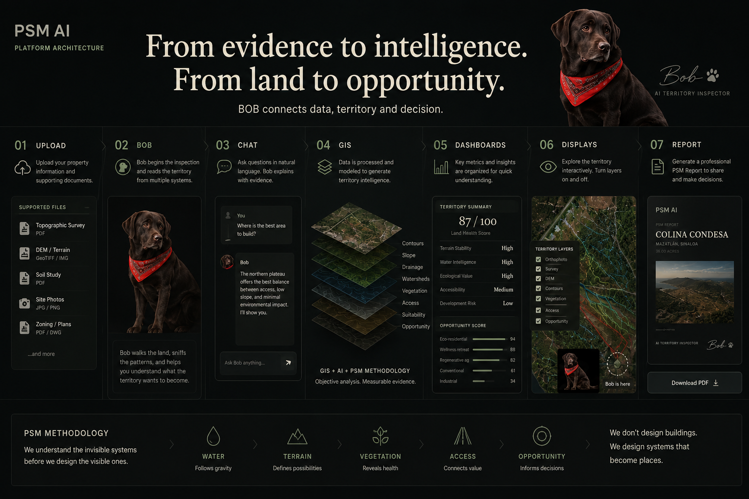
Users upload territorial evidence such as topographic surveys, terrain models (DEM), photographs, and supporting studies.
BOB performs an inspection of the territory, explaining what it observes instead of overwhelming users with raw technical information.
The platform presents:
- Territory inspection narrative
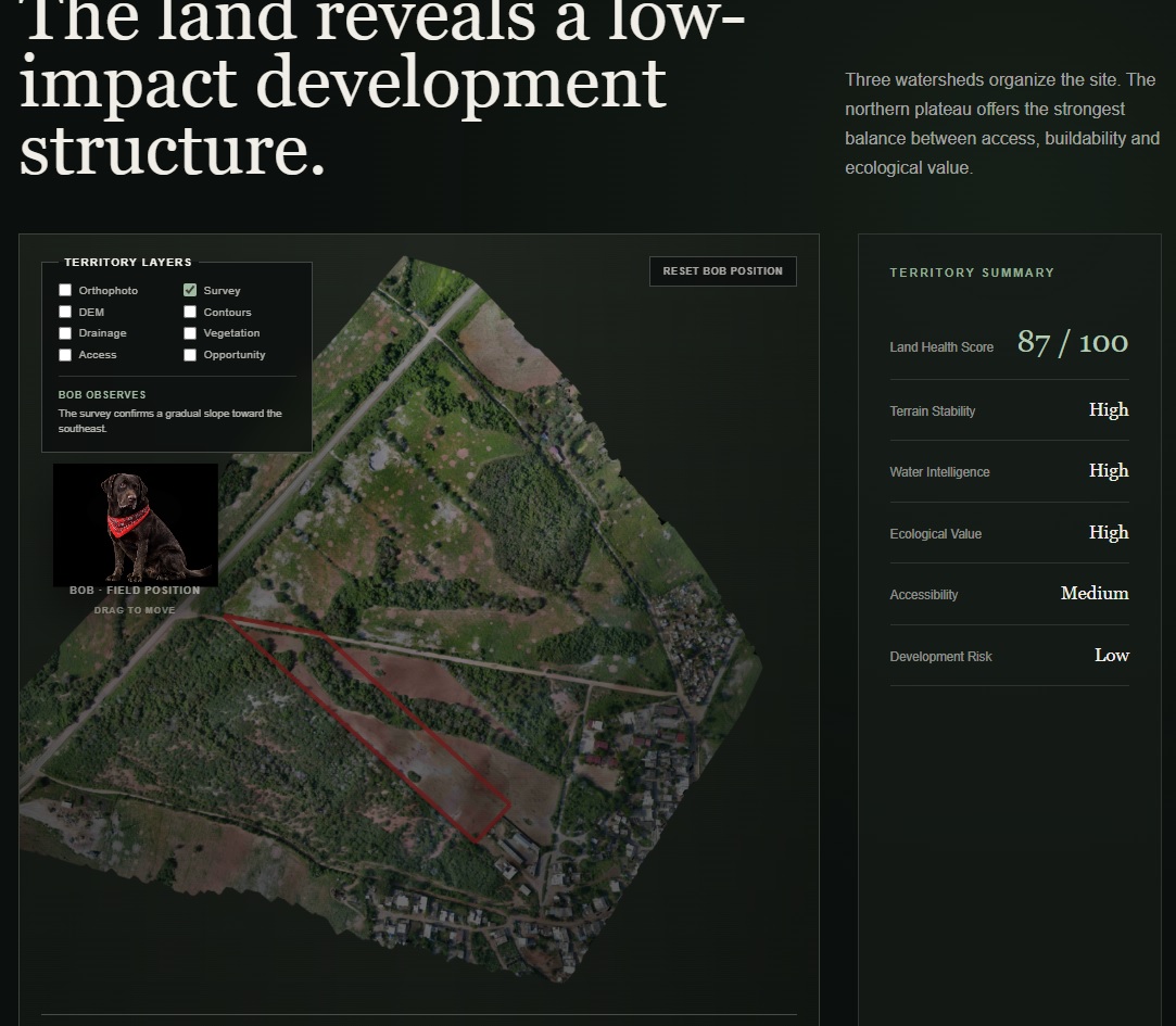
- Interactive dashboard
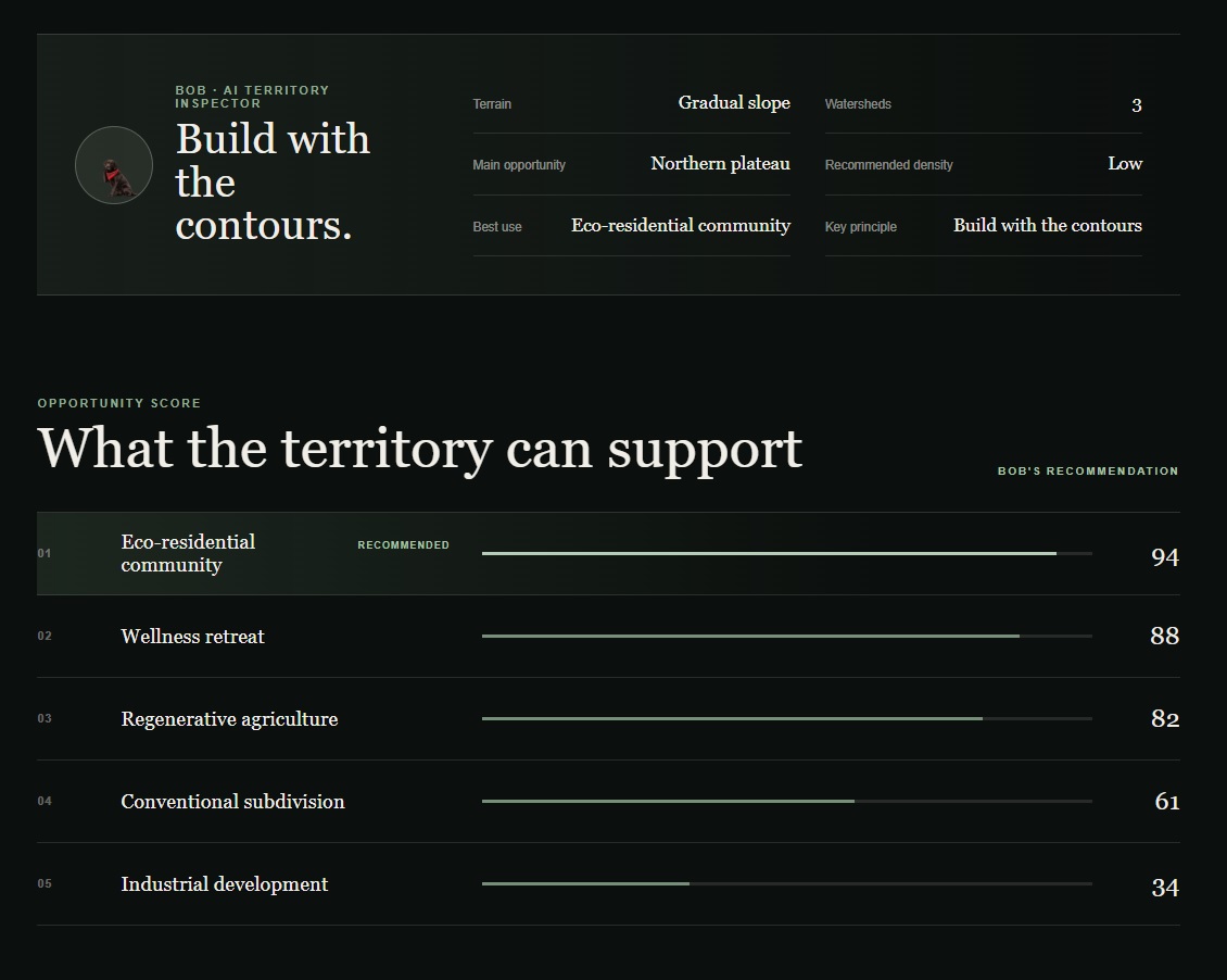
- Opportunity Score
- Development recommendations
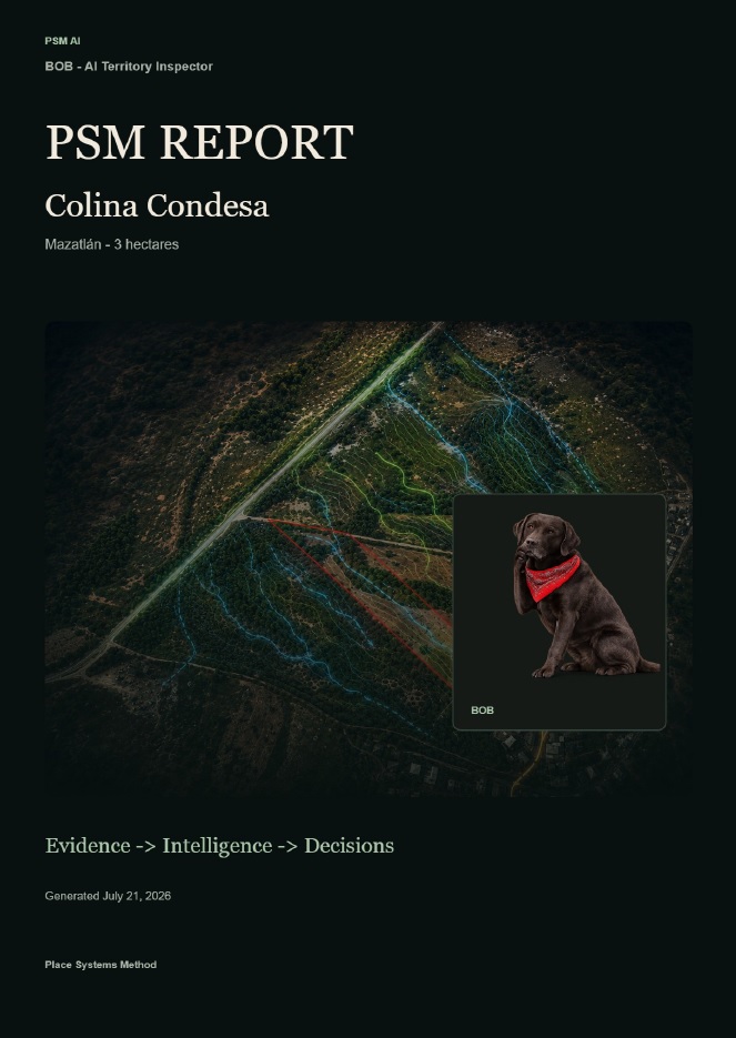
- Shareable PDF report
Rather than replacing professional judgment, BOB organizes complex territorial information into a clear decision-making process.
How we built it
BOB was built using:
- GPT-5.6 for structured reasoning and narrative generation
- Codex to accelerate implementation throughout the project
- Next.js
- TypeScript
- Vercel
- OpenAI API
For the hackathon demonstration we created a complete inspection workflow using the Colina Condesa case study.
The application includes GPT integration, while the public demo uses a cached inspection dataset to provide a reliable and deterministic experience for judges.
Development was organized into iterative engineering sprints, allowing us to evolve from a simple landing page into a complete interactive inspection experience.
Challenges we ran into
Thanks to Chatgpt 5.6 and Codex, the hardest challenge was not writing software.
It was translating years of architectural knowledge into an interface that anyone could understand.
Land development usually requires multiple consultants, disconnected reports, and highly technical documents.
Our challenge was creating an experience where AI could communicate those relationships naturally while remaining grounded in real territorial evidence.
Another challenge was balancing engineering speed with product quality during the limited Build Week timeframe.
Accomplishments that we're proud of
In just four days we transformed an architectural methodology into a working AI product.
We delivered:
- a live web application
- an interactive territory dashboard
- AI-guided inspection experience
- automated PDF reporting
- a complete public case study
- a production deployment on Vercel
Most importantly, we demonstrated that AI can help professionals understand land before design begins, that´s a huge impact to developers, saving time and money.
What we learned
This project reinforced an important lesson:
AI should not replace expertise.
It should amplify it.
I just have 3 months deeply working with Open AI, and realize if we collaborate professionally with AI we could amplify our horizon.
Codex dramatically accelerated software development, allowing us to spend more time refining the user experience and communicating complex ideas.
I also learned that storytelling is just as important as engineering when introducing a completely new workflow.
What's next for BOB - AI Territory Inspector
BOB vision extends far beyond a single case study.
Future versions will support:
- live GPT-5.6 territory reasoning
- multiple simultaneous property inspections
- GIS and municipal data integration
- collaborative workflows for development teams
- environmental and financial opportunity analysis
- investment-ready reports for landowners and developers
Our long-term goal is simple:
To help every project understand the territory before architecture begins.
Because when you understand territory, the projects narrative emerge in every process of the development.
Built With
- codex
- gpt-5.6
- next.js
- openai
- typescript
- vercel


Log in or sign up for Devpost to join the conversation.