-
BluePrint Logo
-
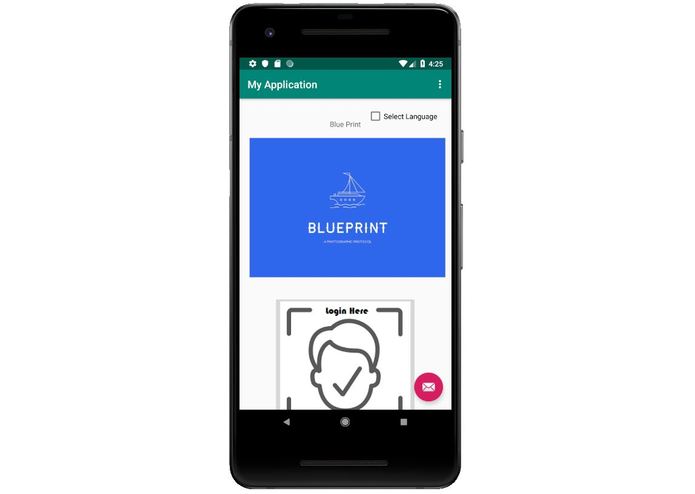
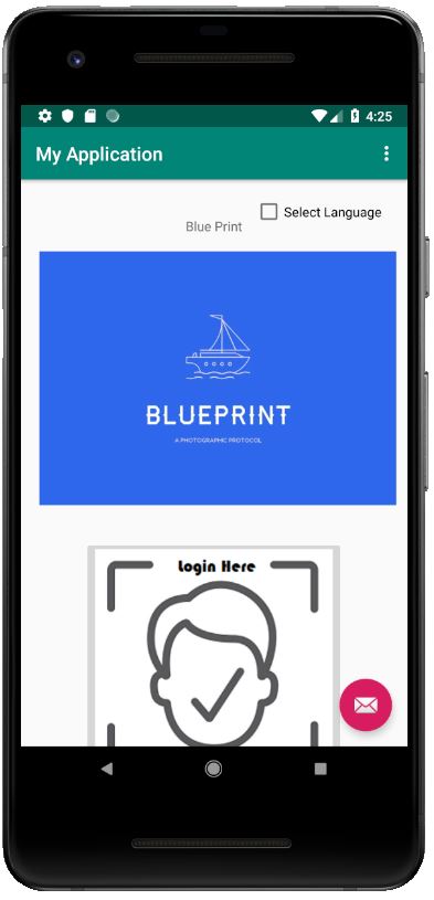
BluePrint Application
-
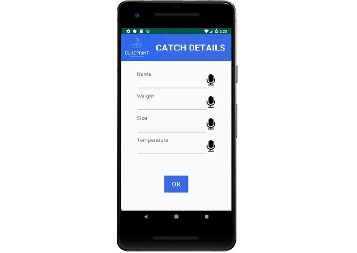
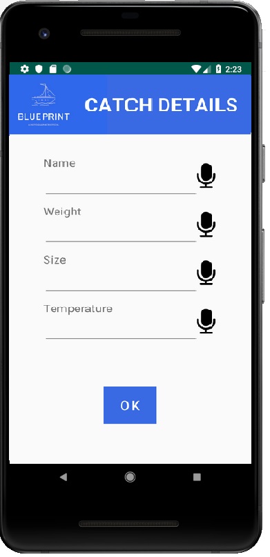
Process
-
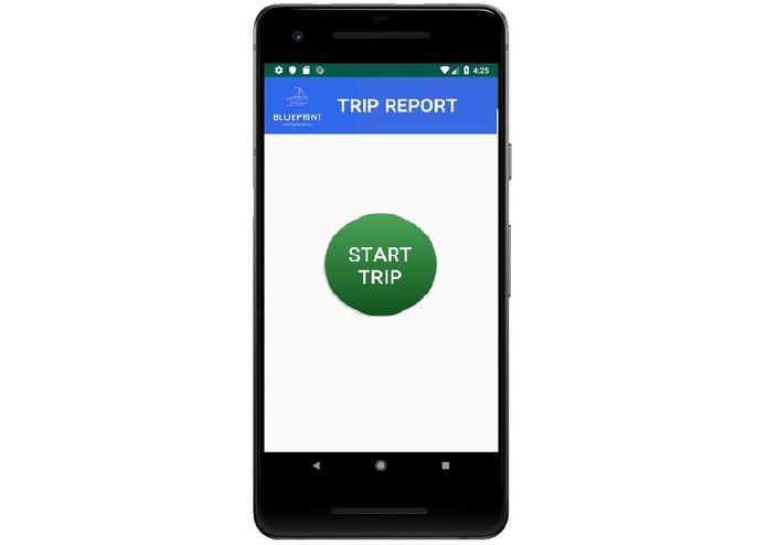
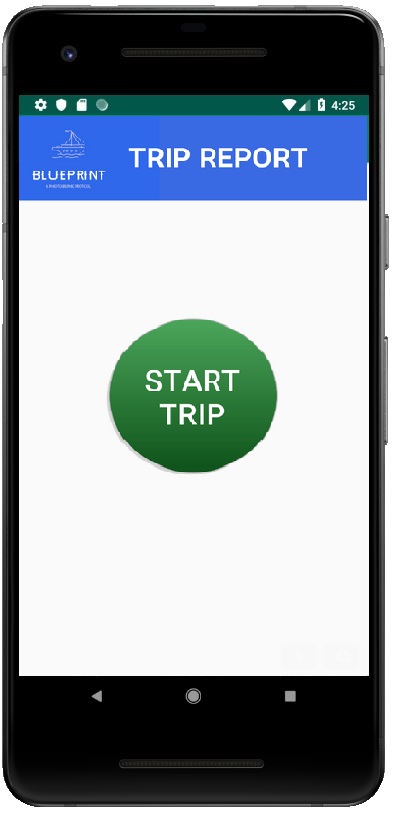
Trip
-
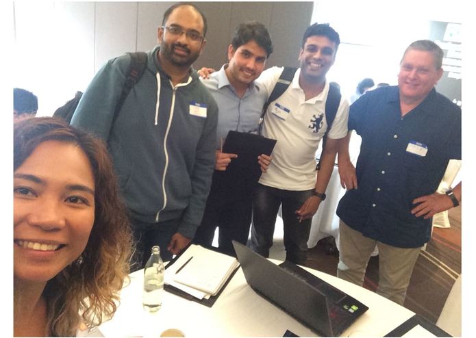
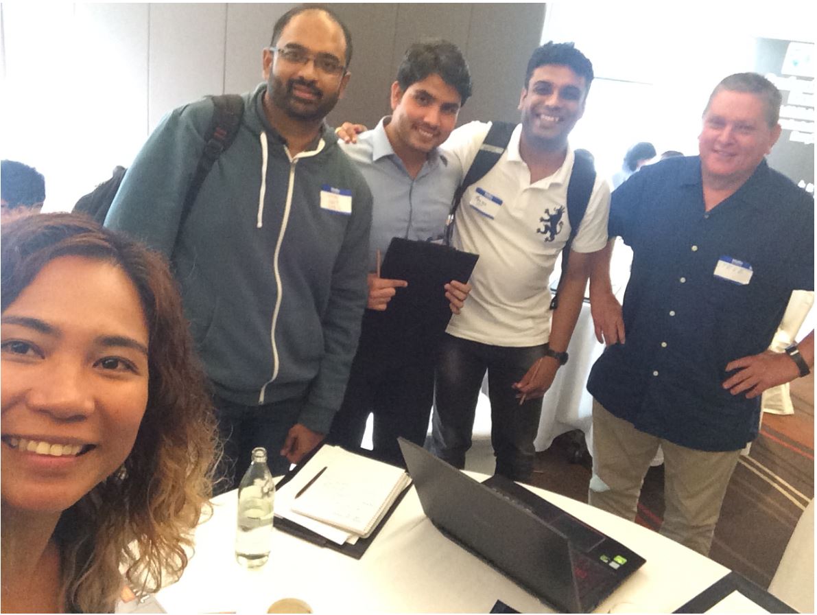
Team BluePrint
Inspiration
Here is a need for a device application for users with limited language skills that can create fishing trip maps, collect catch data and create trip report documents with text and photos.
What it does
Blueprint is a mobile app to help for port authority, vessel caption, verification and certification agencies to utilize essential fishing trip information, such as start and end date, fishing grounds, gear used, catch and landings etc. — all based on a user’s tracked location and photos taken by user.
How I built it
Android studio with GNSS
Challenges I ran into
• To collect vessel, catch and fishing event data quickly • To ease in data collection by voice controlled system • To estimate accurate location • To track the vessel and monitor fishing trip • To detect potential fishing zone • To detect fish and shark species • To carry out data validation with help of vessel mounted CCTV with GNSS receiver • To prevent from overfishing in same area by geofencing • To verify trip and catch
Accomplishments that I'm proud of
Utilizes artificial intelligence to detect species type • Uses WebGIS technology to detect time and location from photo • Uses precise positioning system (SBSS) for accurate estimation of location of ship • Uses remote sensing based integrated chlorophyll and sea surface temperature data product (free, high resolution and update 2 times in a day) for potential fishing zone • Speech control system makes in more ease to use • Easy and robust tractability • Over-fishing prevention makes it sustainable
What I learned
Learned about the fisheries and to know existing problem faced by fishers.
What's next for BluePrint
To make it as a real app and launch soon for fisheries.

Log in or sign up for Devpost to join the conversation.