Inspiration
Preserving wildlife is one of the best ways to look after nature, this app has drawn inspiration from SMART (Spatial Monitoring and Reporting Tool) which is used by rangers to report areas prone to poaching.
What it does
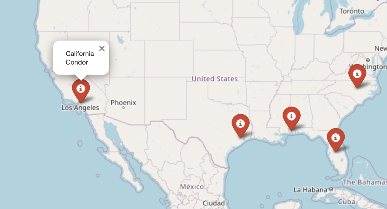
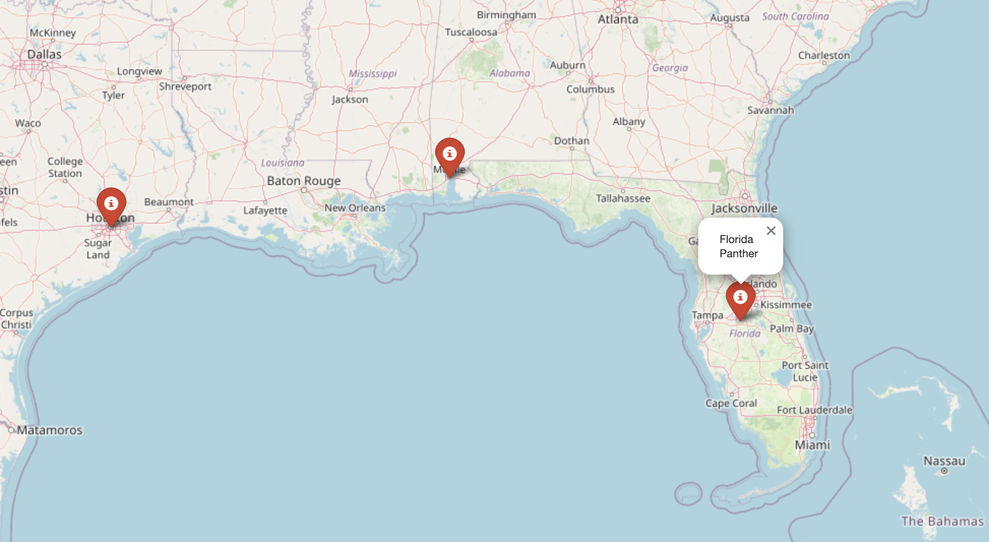
This app aims to visualize areas with endangered species across countries and help forest rangers, and conservationists secure these areas and make them less dangerous for the environment. It builds a map highlighting areas where wildlife is abundant and hopefully analyzes them in depth using satellite imagery and Computer vision.
How we built it
By utilizing Folium and Pandas for data visualization and data analysis for large datasets like these, Bird Watcher outputs areas on a map which is then exported to an HTML page. However, we would require a huge dataset of a particular country to integrate a proper UI
Challenges we ran into
This project could have become far easier had we integrated Wolfram's API which has inbuilt functions for locations and species found there.
What's next for Bird Watcher
Using computer vision and satellite imagery, Bird Watcher can be a useful tool for rangers and conservationists.

Log in or sign up for Devpost to join the conversation.