-
-
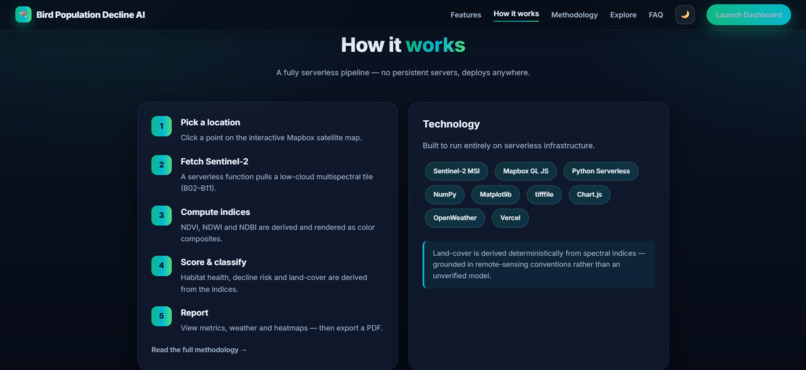
Landing page 3
-
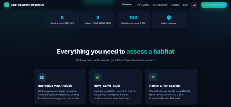
Landing page 2
-
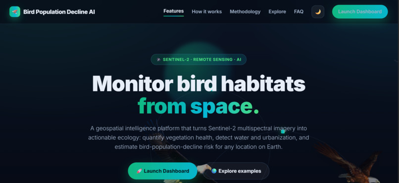
Landing page 1
-
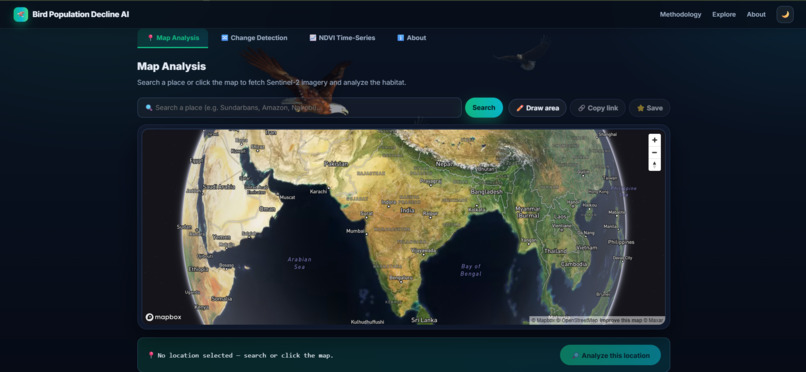
Analysis Page
Bird Population Decline AI
Inspiration
Birds play an important role in maintaining ecological balance, but changes in their habitats can put many species at risk. I wanted to explore how technology could help us identify potential environmental threats before they become more serious.
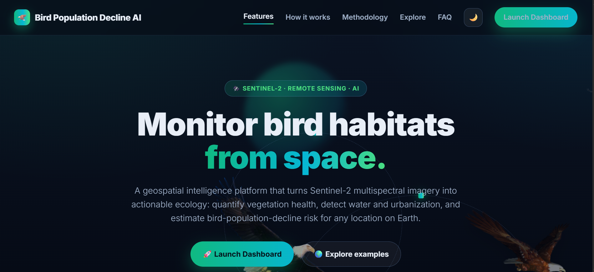
This inspired me to build Bird Population Decline AI, a geospatial habitat monitoring platform that uses satellite imagery and real-world bird sightings to help people understand habitat conditions and identify areas that may need further ecological investigation.
What It Does
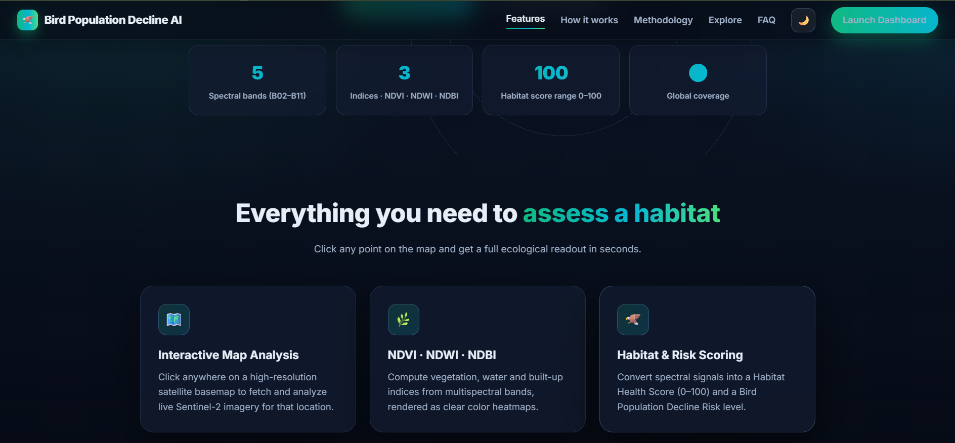
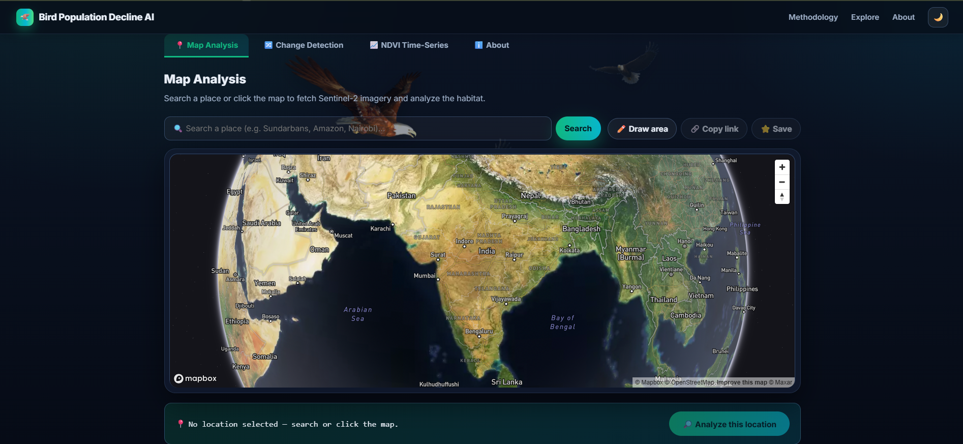
The platform allows users to select any location on an interactive map and analyze its environmental conditions using Sentinel-2 satellite imagery. It calculates seven spectral indices, including NDVI, NDWI, and EVI, to examine vegetation health, water content, and other habitat characteristics.
It also provides habitat health and bird-decline risk scores, rule-based land-cover classification, vegetation change detection between two dates, and NDVI time-series analysis. By integrating bird observations from GBIF and live weather data, the platform combines multiple sources of environmental information in one dashboard.
Users can also export their findings as PDF reports, CSV files, and GeoJSON data for further analysis.
How I Built It
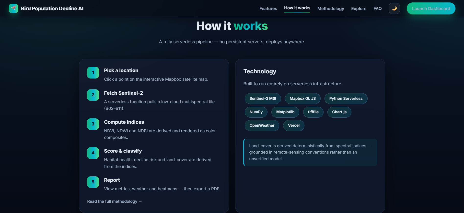
I built the project as a lightweight web application with a static frontend and Python serverless backend, deployed on Vercel.
Frontend: HTML, CSS, JavaScript, Mapbox GL JS, and Chart.js for interactive maps, visualizations, and environmental dashboards.
Backend: Python serverless functions for satellite analysis, spectral index calculations, change detection, time-series analysis, weather retrieval, and PDF report generation.
Satellite Data: Sentinel-2 imagery provides the spectral bands used to calculate vegetation and habitat-related indices.
Bird Observations: GBIF data provides observed species information around selected locations.
Weather: OpenWeather provides current weather conditions.
Deployment and Testing: Vercel hosts the application, while automated checks and GitHub Actions help verify important application functionality.
I also implemented features such as saved locations, shareable links, caching, API rate limiting, and an installable Progressive Web App to make the platform more practical to use.
Challenges I Faced
One of the main challenges was bringing satellite imagery, bird observations, weather information, and geospatial analysis together in a single application. Each source has its own data format, availability, and processing requirements.
Another challenge was keeping the Python backend lightweight enough for serverless deployment. I used pure-Python GeoTIFF processing and deterministic, rule-based land-cover classification rather than relying on a large deep-learning runtime.
I also needed to make complex environmental information understandable. Interactive heatmaps, visual scores, comparison maps, and time-series charts help users interpret the results without needing to manually analyze raw satellite data.
An important limitation is that habitat condition is not the same as actual bird population size. The current risk score is an index-derived proxy, not a validated prediction of population decline. Real population monitoring and field studies would be needed to establish whether the environmental changes correspond to actual declines in bird numbers.
What I Learned
Building this project helped me understand how remote sensing, geospatial visualization, environmental datasets, and serverless computing can work together in a practical application.
I gained hands-on experience calculating spectral indices, processing satellite data, integrating external APIs, building interactive dashboards, designing Python APIs, and deploying a lightweight application.
Most importantly, I learned that building an environmental AI tool is not just about generating a score. It is also about understanding the data behind that score, communicating uncertainty, and making sure the results are interpreted responsibly.
What's Next
My next goal is to improve the platform by incorporating historical bird population observations, stronger ecological validation, and more advanced predictive models. I also want to investigate how habitat fragmentation, urban expansion, vegetation loss, and seasonal changes relate to observed bird population trends.
The long-term vision is to make environmental monitoring more accessible and help researchers, conservation groups, and communities identify locations that deserve closer attention.
Bird Population Decline AI aims to turn satellite and biodiversity data into actionable environmental insights, supporting more informed decisions for wildlife conservation.
Built With
- analysis
- api
- css
- geospatial
- html
- imagery
- javascript
- mapbox
- python
- remote
- satellite
- sensing
- vercel

Log in or sign up for Devpost to join the conversation.