-
-
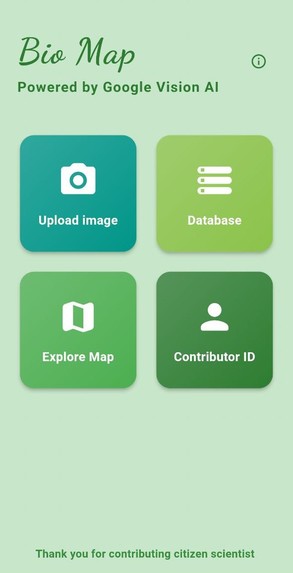
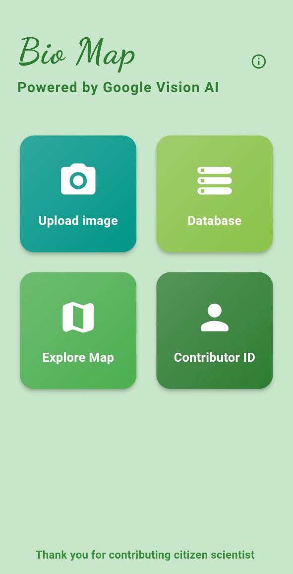
Biomap homepage
-
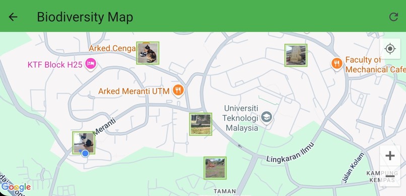
Map visualization
-
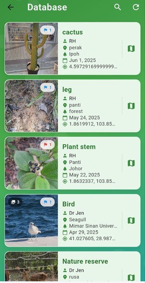
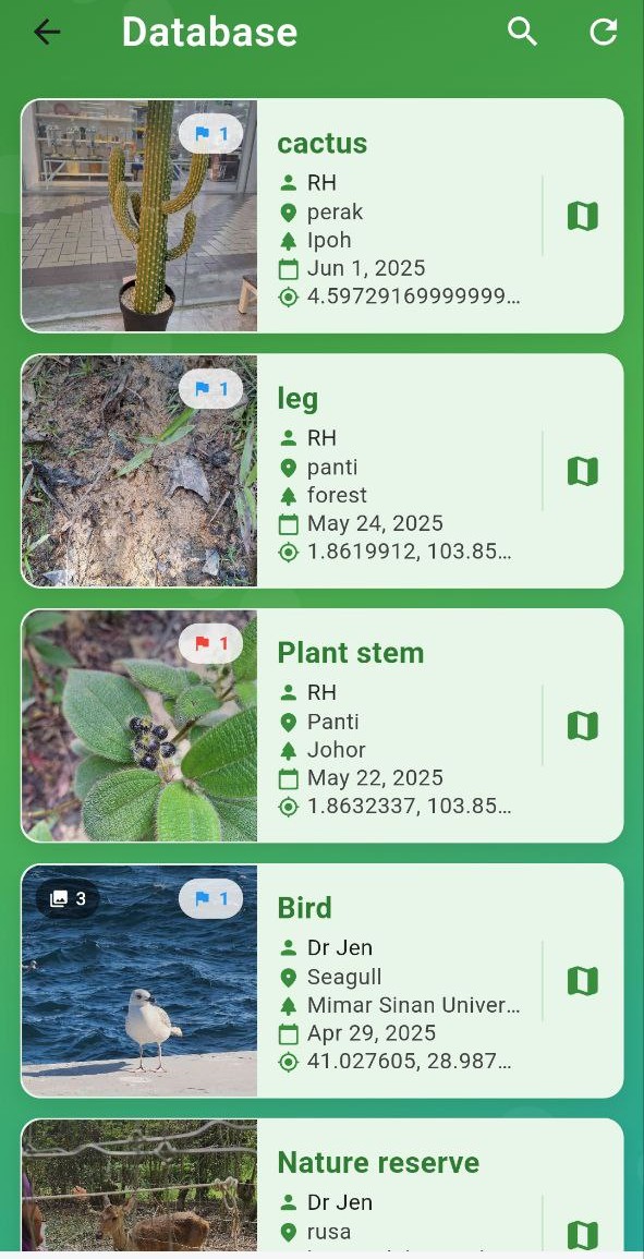
Database
-
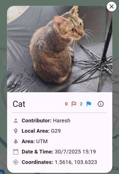
Dual flagging validation system


Inspiration
I love animals, and seeing some species at risk of extinction made me want to do something. I realized that everyday people can help by sharing what they see in nature. These data can support conservation efforts and help protect wildlife.
What it does
BioMap is a citizen science app that lets users upload geotagged images of animals and plants. The app extracts location data, identifies species using Google Vision AI, and plots the images on a map using Google Maps. These images collectively help visualize the spatial distribution of different species. Users can explore other uploaded contributions and flag incorrect images to help maintain data accuracy.
How we built it
BioMap was built using Flutter.
I integrated:
- Google Maps SDK for showing geotagged points on the map
- Google cloud Vision AI for automatic species identification
- Firebase for storing image metadata and user submissions
- EXIF tools to extract GPS data from image files
Challenges we ran into
- Ensuring only images with valid location data are accepted
- Designing the dual flagging mechanism to improve data validation
- Keeping the app lightweight and user-friendly
Accomplishments that we're proud of
- Successfully built an app that works well
- Integrated multiple technologies like Maps, AI, and Firebase
- Created a smooth experience for users to contribute meaningful biodiversity data
What we learned
- How to use Google Maps and Vision AI in a mobile app
- How to work with image metadata and real-time databases
What's next for Biomap
- Partner with conservation groups or hopefully with Google to expand usage
- Enable species suggestions using local biodiversity datasets


Log in or sign up for Devpost to join the conversation.