-
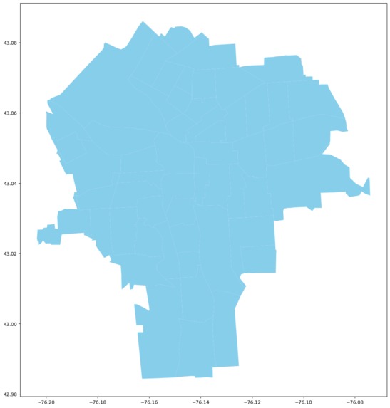
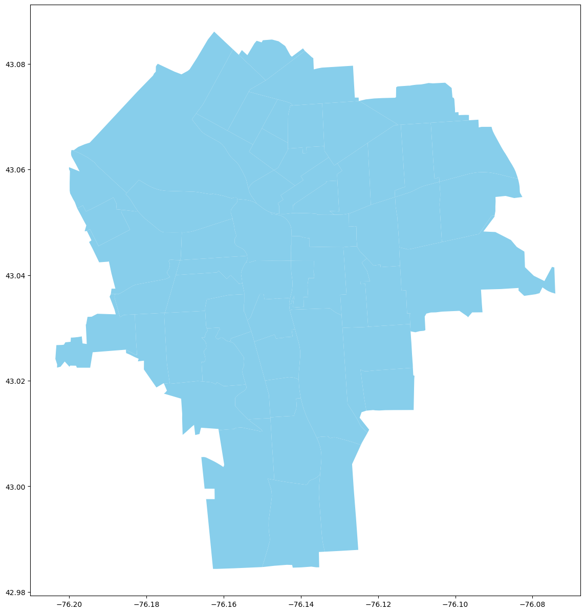
Census Tracts
-
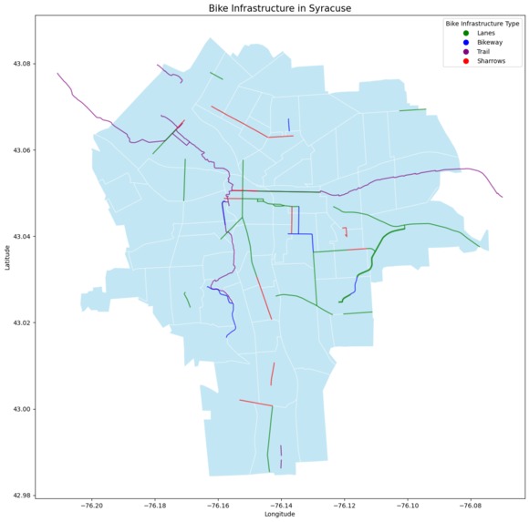
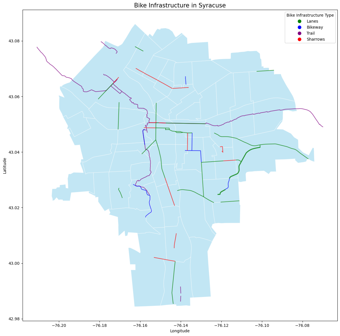
Current Bike Infrastructure
-
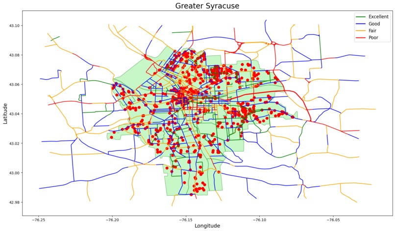
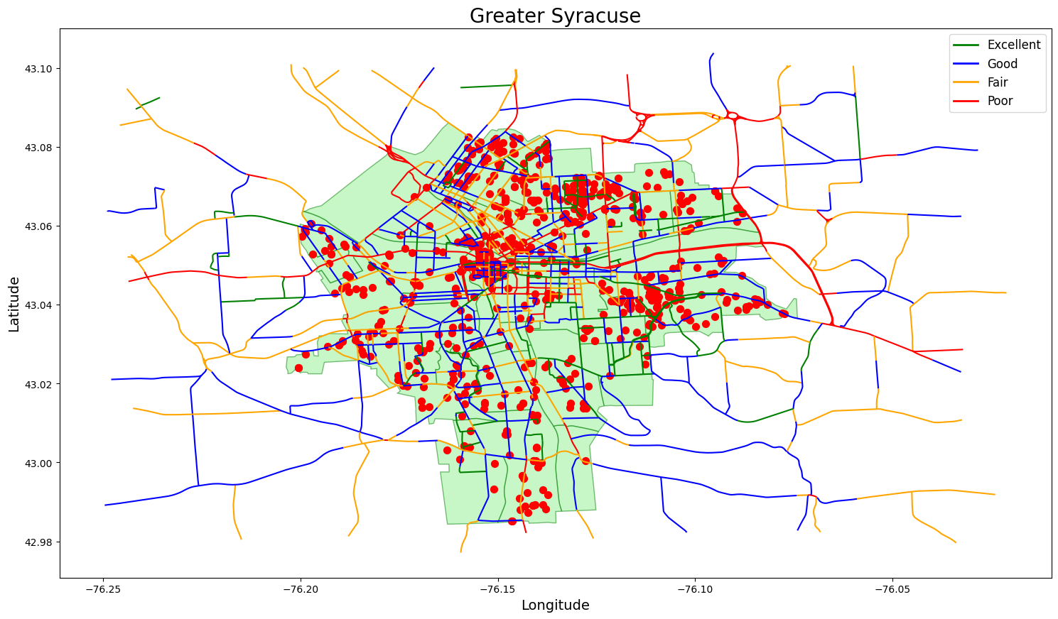
Bike Suitability ratings, census and street light complaints
-
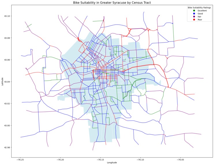
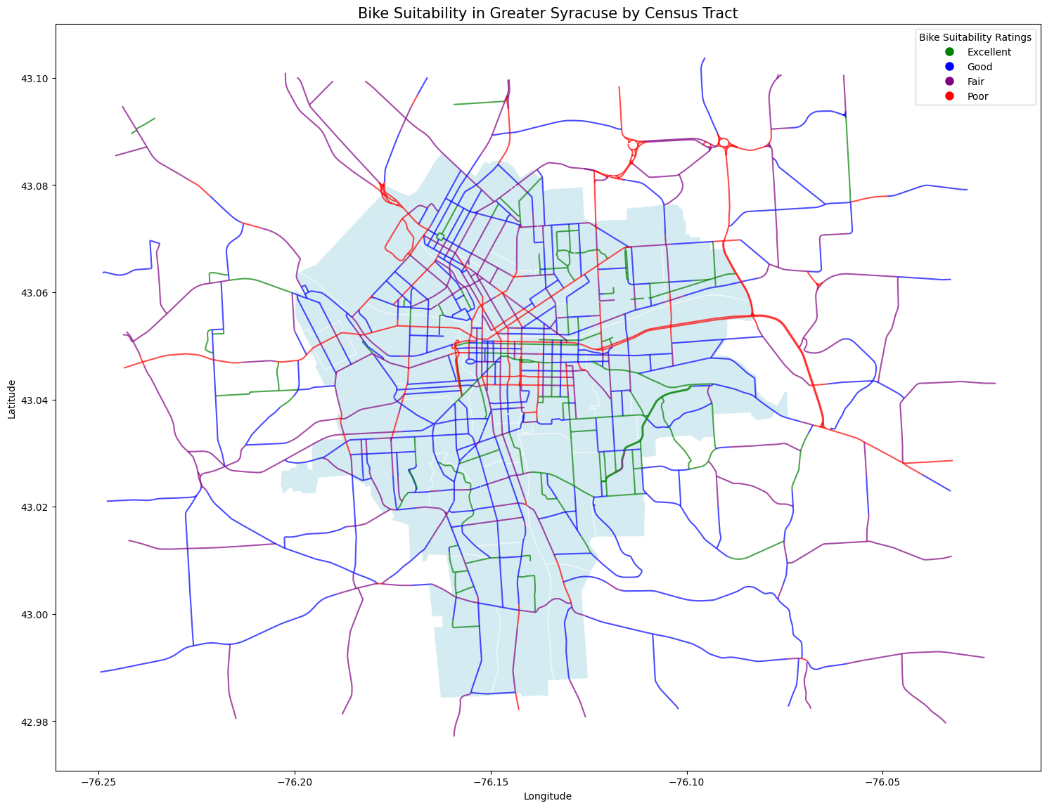
Bike Suitability Ratings
Inspiration
Witnessing and experiencing several near accidents on Euclid Ave, which is heavily trafficked at intervals throughout the day with pedestrian, micromobility, and varying vehicle classes.
What it does
Our project aims to highlight the urgency in building a comprehensive bike infrastructure for the city of Syracuse.
How we built it
We used the datasets from census tracts, syracuse bike infrastructure, SMTC Bike suitability of greater syracuse, street light complaints filed by the residents of Syracuse.
Challenges we ran into
A lack of geographical coordinates and related datasets for vehicle accidents, transport insecurity, social vulnerabilities, environmental burden for the city off Syracuse for to build a robust bike infrastructure.
Accomplishments that we're proud of
This project allowed us to dive deep into the concepts of geospatial analysis and its usefulness in solving for public policy challenges such as building a bike infrastructure.
What we learned
To build a safe and secure bike infrastructure in the city of Syracuse, city planners require to use various datasets ranging from traffic signals, pedestrian pathways, heat maps for traffic concentration and suitable bike lanes.
What's next for Bike infra
Building on the Bicycle Infrastructure 2040 Plan to be data-driven and equitable so the city can strategically prioritize future infrastructure to advance toward Vision Zero.

Log in or sign up for Devpost to join the conversation.