-
-
Secure Your Land. Preserve Your Legacy.
-
-
-
-
-
-
-
Inspiration
Millions of Indian families own ancestral land in their native villages while living in another city, state, or country.
Managing that land remotely is surprisingly difficult. Property details may be scattered across old documents, family members may remember boundaries differently, photographs and records are stored in different places, and the next generation may know very little about the family's land.
I started building BhumiSetu to create a digital bridge between families and the land they own back home.
What it does
BhumiSetu helps families organize, map, manage and preserve information about their ancestral land remotely.
Users can:
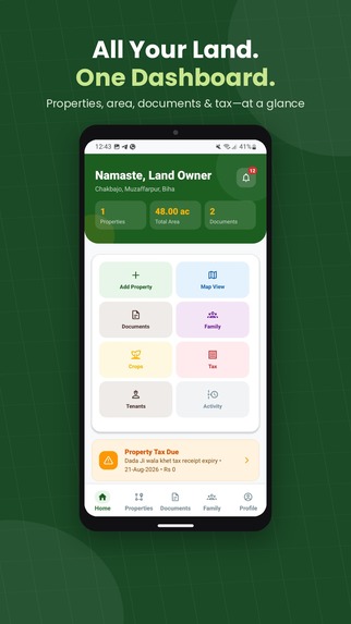
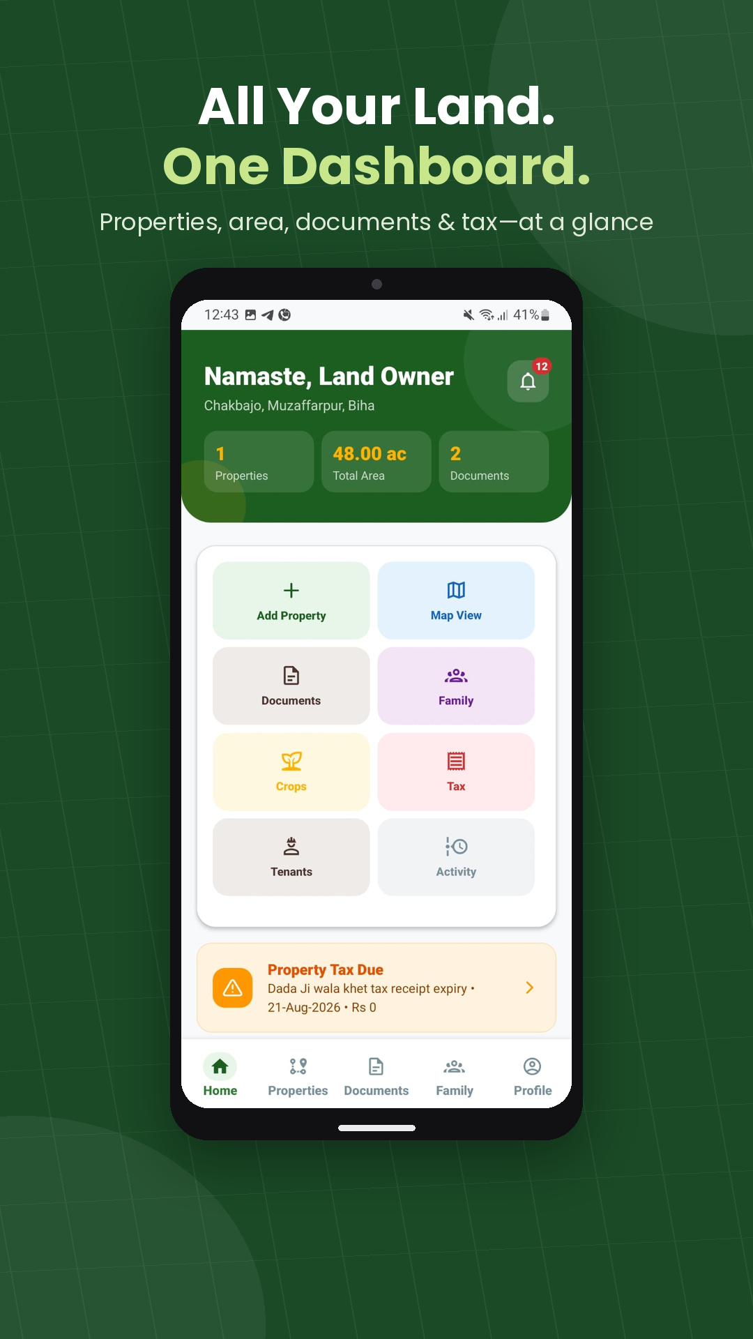
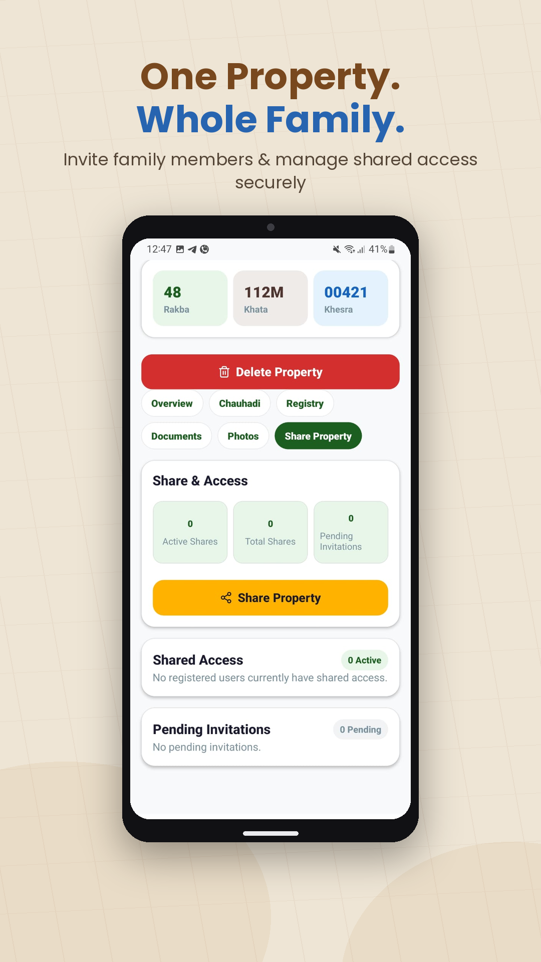
- Add and organize multiple properties
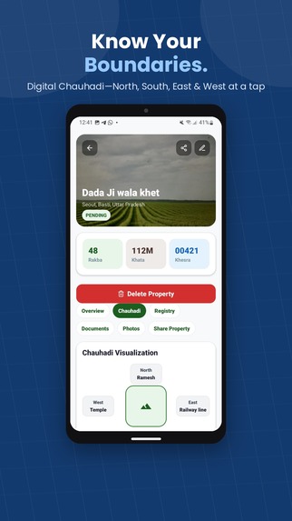
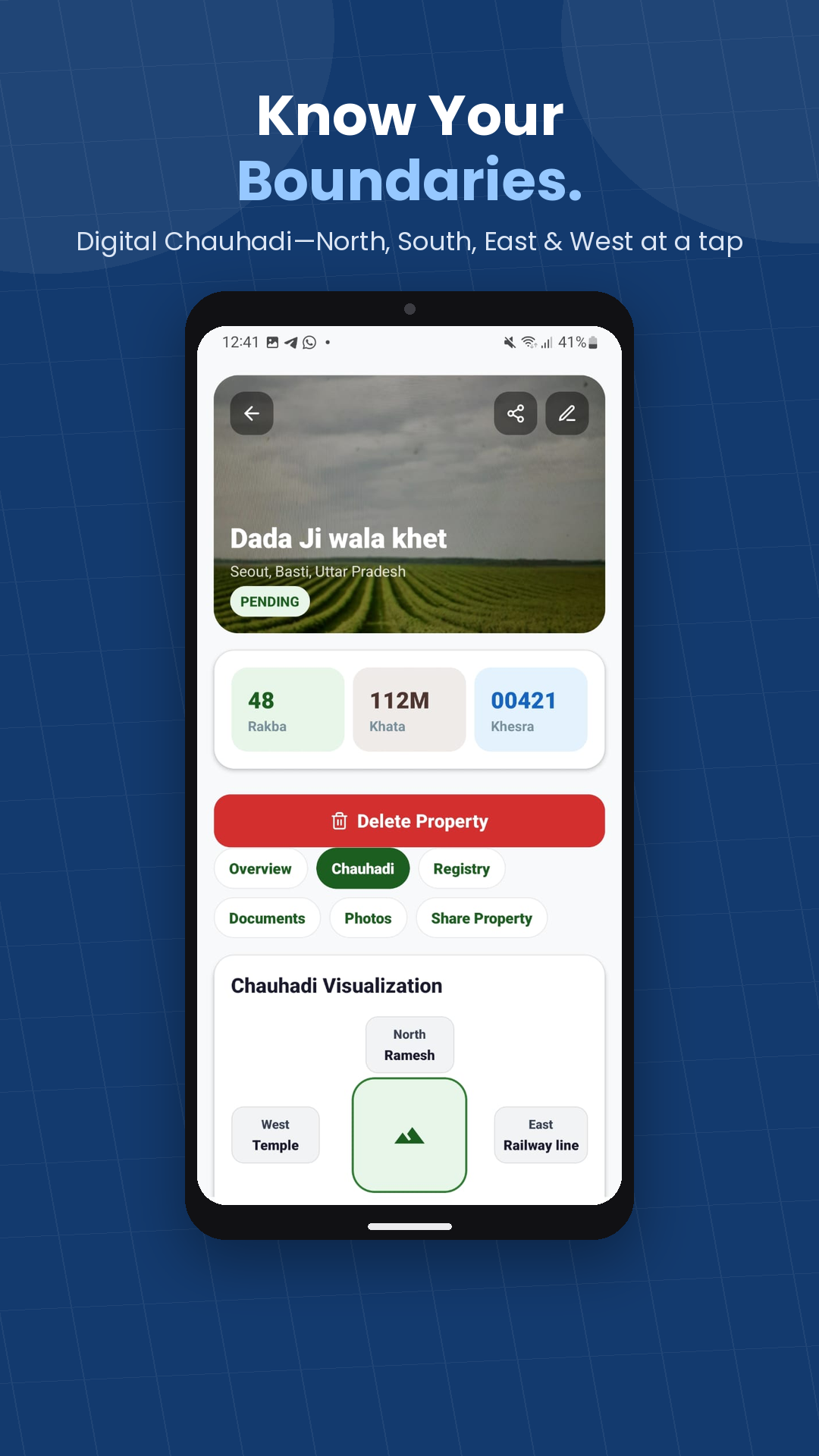
- Record Khata, Khesra, Rakba, Mauja and other land details
- Map property boundaries
- Record Chauhadi (North, South, East and West boundaries)
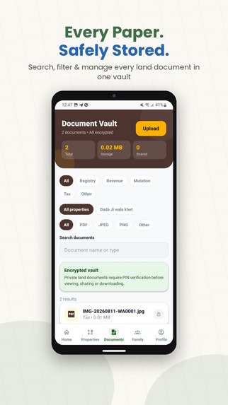
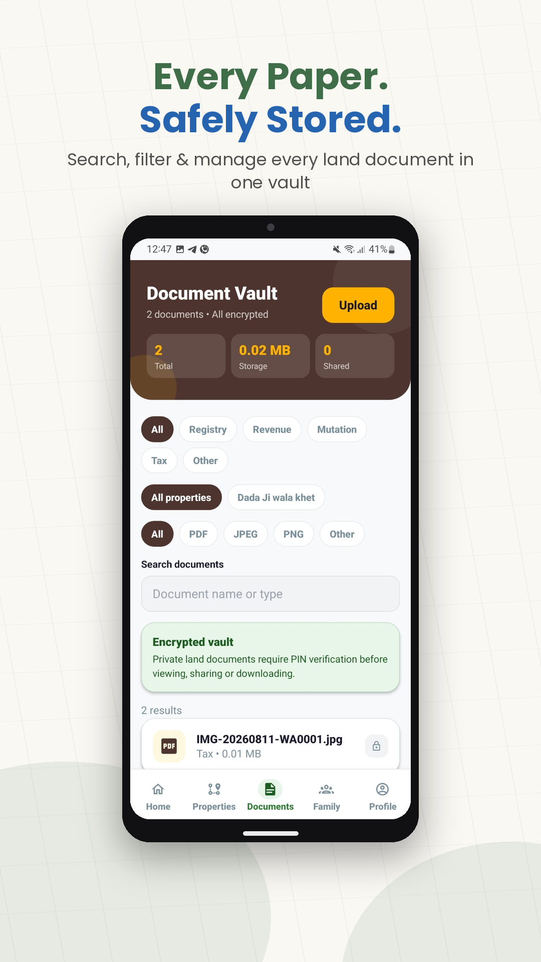
- Securely organize property documents
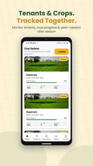
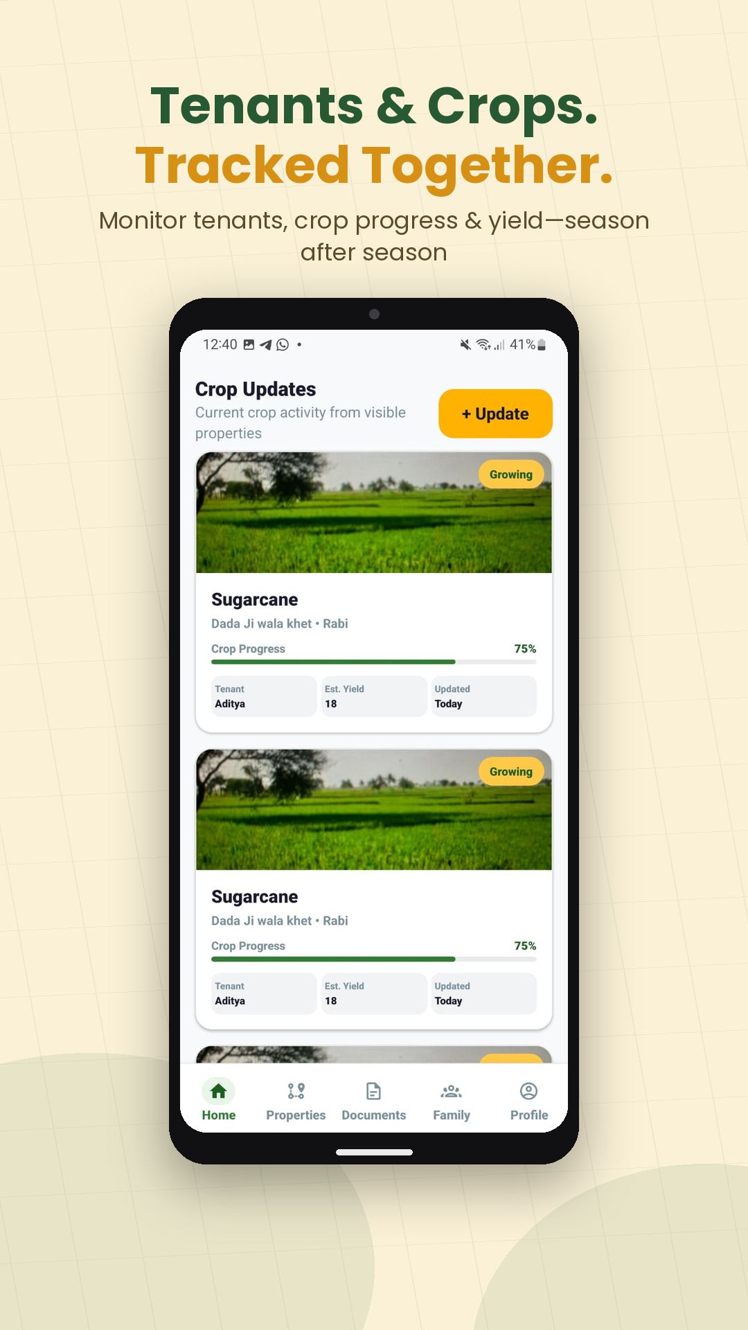
- Store property and crop photographs
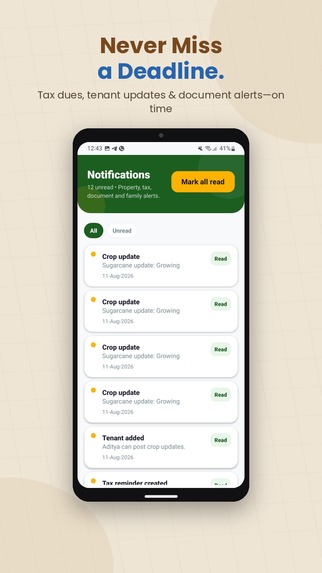
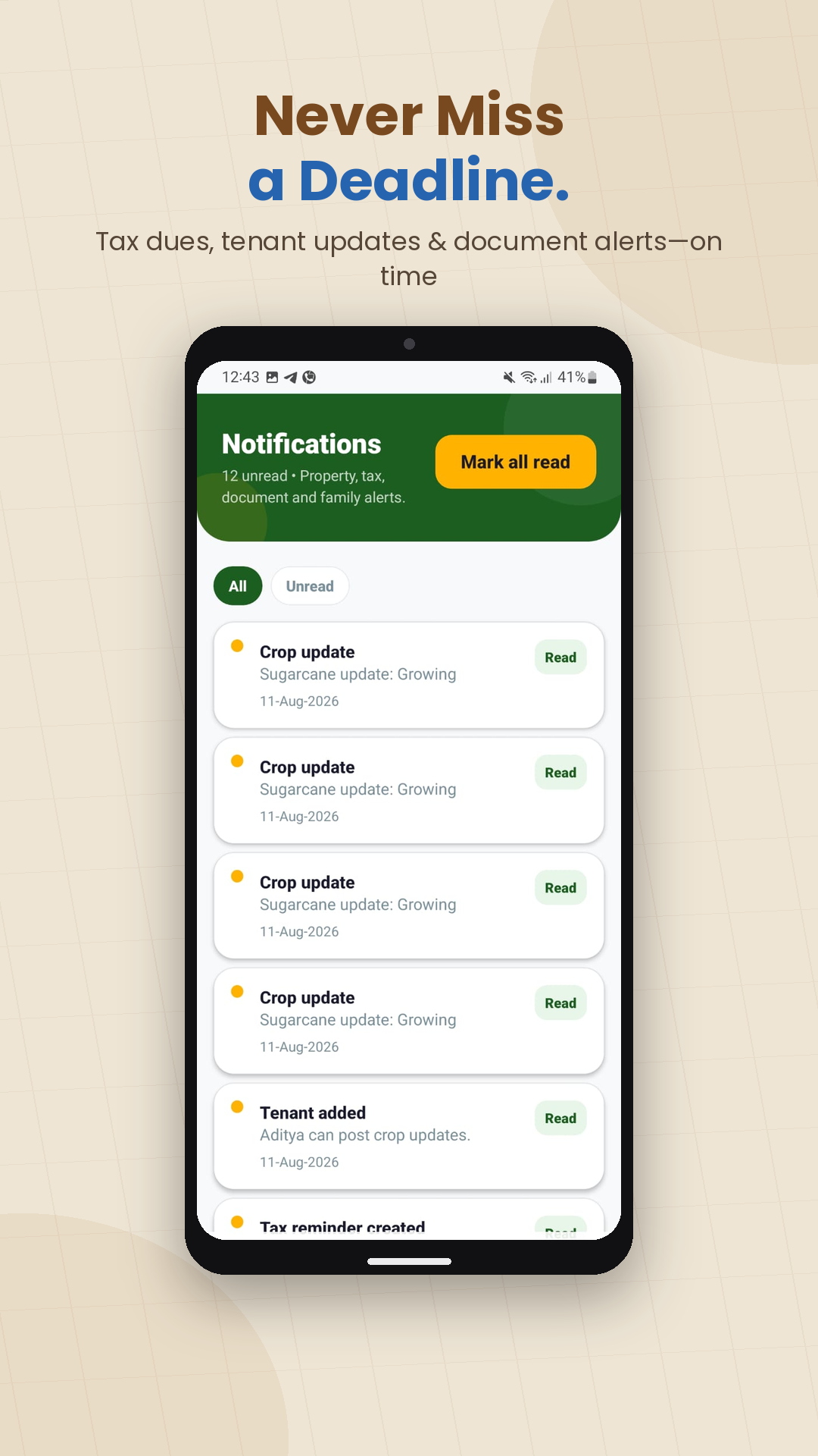
- Track tenants, leases and crop updates
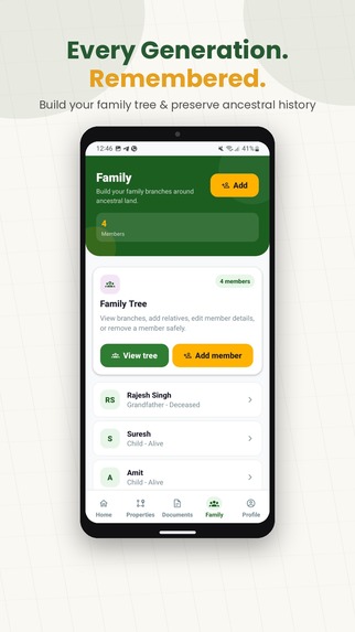
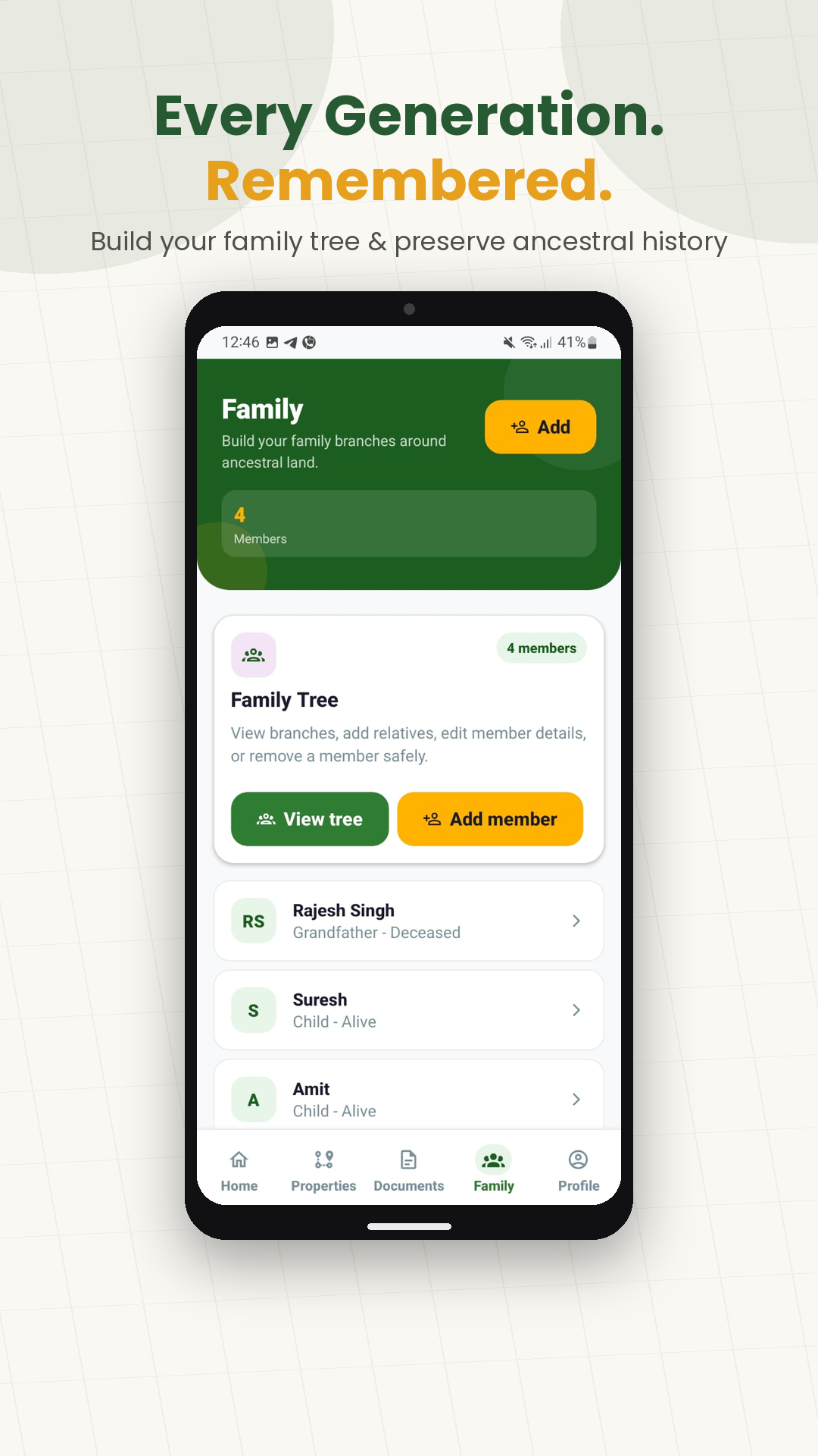
- Maintain family information connected with their property
- Track disputes and important property information
- Navigate to saved land locations
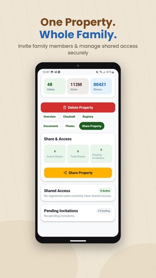
- Share relevant property information with family members
The goal is not to replace government land records or legal processes. BhumiSetu acts as a private digital land-management layer for families.
How we built it
BhumiSetu is built as a cross-platform mobile application for Android and iOS.
The technology stack includes:
- React Native + Expo for the mobile application
- Supabase + PostgreSQL for authentication, database and storage
- Google Maps for location and land mapping
- OneSignal for notifications
- RevenueCat for subscription management
- Firebase Analytics for product analytics
- Next.js + Vercel for the web platform
Privacy and access control are particularly important because property information and documents can be sensitive. BhumiSetu therefore includes authentication and additional protection for sensitive information.
Challenges
One of the biggest challenges was converting an extremely offline and fragmented process into a simple digital experience.
Land information in India is not standardized from a user's perspective. Families often describe properties using local terminology, physical landmarks, Khata/Khesra numbers, Chauhadi and information passed down through generations.
Another challenge was designing the product for people managing property hundreds or thousands of kilometres away.
This required us to think beyond simple document storage and combine maps, property records, family information, tenant updates, photographs and notifications into one experience.
What we learned
Building BhumiSetu showed us that ancestral land management is not simply a real-estate problem.
It is also a family information and legacy problem.
People don't only need a place to store documents. They need a way to preserve context — where the land is, its boundaries, who manages it, what is happening on it, and what the next generation needs to know.
What's next for BhumiSetu
Our long-term vision is to build a trusted digital infrastructure for families managing land remotely.
We plan to continue improving property mapping, remote verification, family collaboration, document management and integrations that make land information easier to understand and preserve.
Secure Your Land. Preserve Your Legacy.
Built With
- expo.io
- firebase
- ios
- maps
- native
- next.js
- onesignal
- postgresql
- react
- revenuecat
- supabase
- typescript
- vercel

Log in or sign up for Devpost to join the conversation.