-
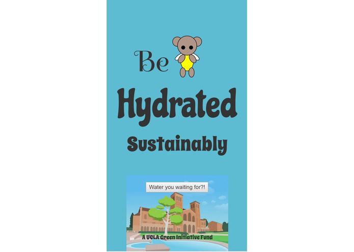
Home
-
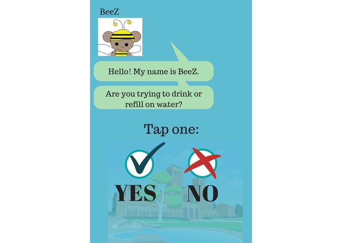
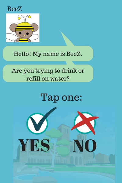
Sample Chat
-
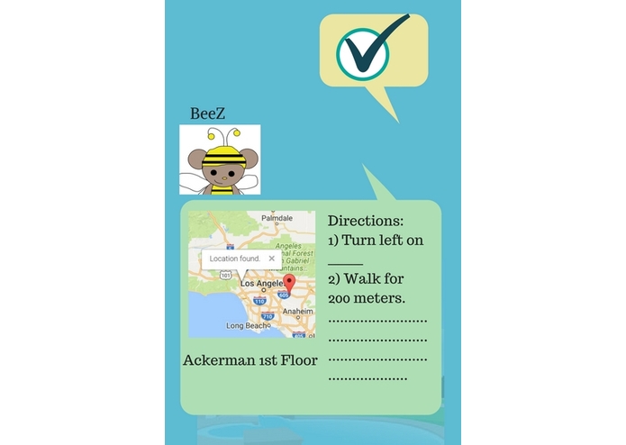
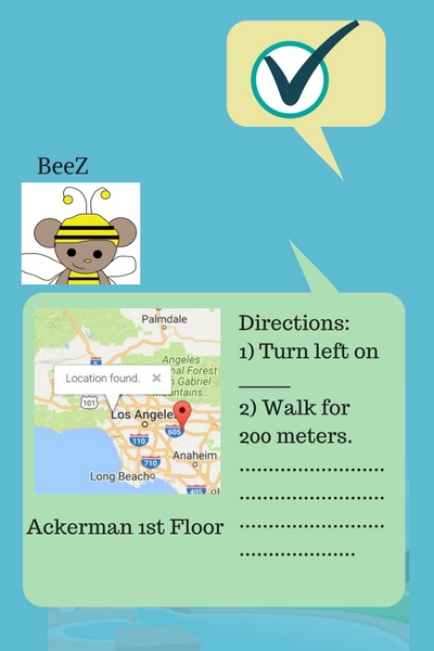
Sample Chat 2
Inspiration
I didn't use reusable water bottles much until college. I was hesitant about carrying one around because 1) I never knew where to go to refill my bottle and 2) I kept losing them. (The latter was not solved here, soz.) I was also a long distance runner and wherever I ran, I'd have to be on the lookout for emergency stops for restrooms, water, stretching. This app focuses on some of the documented water stations around UCLA campus but can be used by public civilians just as much as students and promote sustainability and awareness.
I also really like interactive things and designing characters. Story of BeeZ: Bees are self-sustaining, and this is also providing awareness to their endangerment as a species. BeeZ will do the BeeZ work of working towards a greater social good for you.
What it does
It essentially goes through the database and looks for the closest known water fountain/hydration station based on your location. The "chatbot" will give you the map showing your location and the station's location, details of the station, and directions to get there.
How I built it
It's based on Google Maps' Geolocation and Marker API and was supposed to also use its Direction API. I had assistance parsing through information in https://www.studiousapp.com/ucla to make a small database. I used CSS for the first character and an SVG for the chatbot icon.
Challenges I ran into
This idea started around 6 PM Saturday night. My team was originally working on a different idea, but realizing that it was a completely redundant idea, they did not feel as inclined to continue with the project. I ended up by myself for the remaining duration and started a new idea. Ran into a bit of debugging complications trying to understand how to use Google's API. For some reason, my data does not correspond to my outputted map. I was able to get the backend to work, but I did not have a frontend besides a design in mind. I was only able to complete the home page without a fully functioning button. The chat part was mocked up using an online graphics platform since I was struggling using mock-up software. I got super excited when I made my first SVG, only to find out it was watermarked.
Accomplishments that I'm proud of
Somewhat functioning backend Something that could be useful and I hope would be taken into consideration by The Green Initiative Fund and by Los Angeles.
What I learned
Some data parsing, working with an API
What's next for BeeZ: Bespoke for a Greener Community
100% should get universities on board with documenting sustainable initiatives so students can have better access. 100% should combine the data I extracted with the already ongoing OpenSourceMap (https://waterfill.me/) and get the Los Angeles city on board with updating and maintaining. They have the data of the parks and civic projects and should contribute for better accessibility, especially in preparation for 2024. Supposedly "WeTap" is an app that does just this and LA is aware of it and have collaborated, but no database available, bad reviews of the app, outdated links on its site. Would be really neat to work with screen overlay technology and make BeeZ a virtual pet that just floats on the home screen of a mobile device.

Log in or sign up for Devpost to join the conversation.