-
-

The future for Been to Hawaii?
-
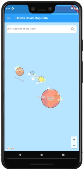
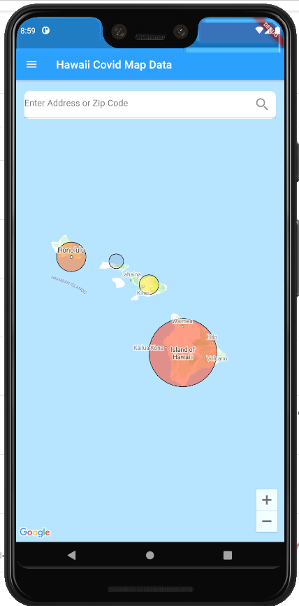
Homepage
-
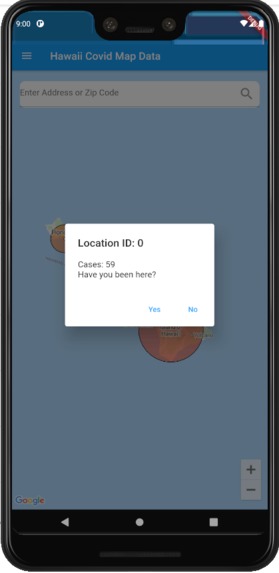
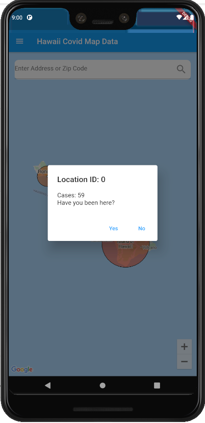
When you click on a county
-
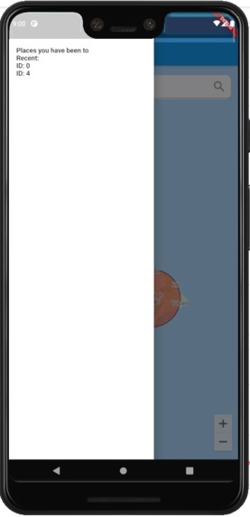
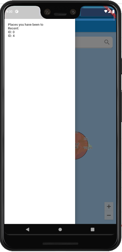
Recent places you have visited
Inspiration
With the rising cases of COVID 19, there should be a easily accessible way for people to track where they have travelled and the risks that they take. An interactive map is the best solution as it is a simple way for users to find their location and save where they have been.
What it does
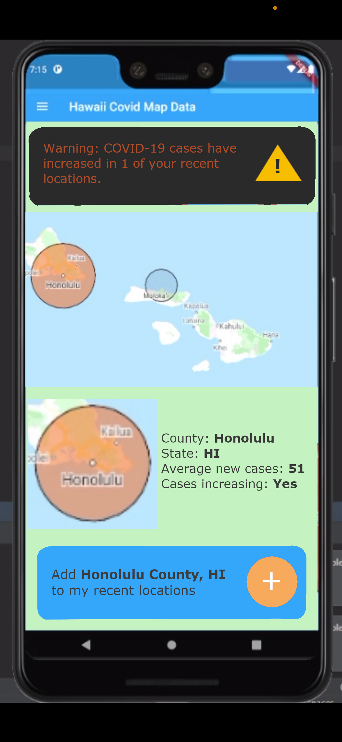
This app allowed the user to choose a county in Hawaii and save it into their database. With this, they are able to track where they have been and know the local COVID 19 case numbers.
How I built it
We built it using a Framework called Flutter with the language Dart of the IDE VSCode. We used the live sharing feature on VSCode to easily work together on the same project.
Challenges I ran into
We realized that our idea was too broad at first. We had to narrow our idea and be more specific on our location. With this, we were able to add more details to a smaller data set.
Accomplishments that I'm proud of
We are very proud of everything we accomplish as most of us were new to Flutter and app development. Even just getting the map to appear was a great success
What I learned
As a team, we learned how to work together on projects more efficiently and how to divid up work using the different strengths of our teammates. Not only that, we improved upon our programming skills.
What's next for Been to Hawaii?
We plan to add even more states and more information other than just the case numbers. We would also like to add a cloud database that stores information from different users so that there can be better contact tracing.


Log in or sign up for Devpost to join the conversation.