Inspiration
Environmental data is everywhere; air quality monitors, climate archives, species occurrence databases but it's scattered across a dozen dashboards built for scientists, not for the person who just wants to know: is the place I live, or the place I'm about to visit, actually okay? We wanted one honest number, built transparently from real sources, that anyone could read in five seconds.
What it does
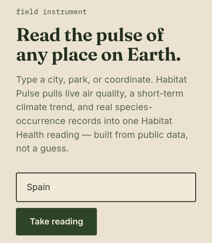
Habitat Pulse takes a place name (or raw coordinates) and, in real time:
- Pulls current air quality (US AQI, PM2.5) from Open-Meteo
- Fits a simple linear regression over the last 14 days of daily max temperature to surface a climate stability trend
- Queries GBIF for distinct species recorded within ~50km over the last decade, flagging any with an IUCN threatened status in the sample
- Combines all three into a single Habitat Health Score (0–100), with each contributing metric shown separately and fully traceable back to its source
How we built it
It's a single static HTML/CSS/JS file with zero backend and zero build step, every data call is a direct fetch() to a free, CORS-enabled public API (Open-Meteo's geocoding, forecast, and air-quality endpoints; GBIF's occurrence search). The score dial is hand-drawn SVG, and the scoring thresholds for each metric are documented directly on the page so the methodology is never a black box.
Challenges we ran into
Finding public environmental APIs that (a) require no key, (b) support CORS for a pure client-side app, and (c) return data specific enough to be meaningful at a single point on the map. GBIF's occurrence search doesn't have a clean "radius" filter, so we approximate a ~50km box with a lat/lon bounding range. We also had to decide how to turn a temperature trend into a health signal without pretending a 14-day window is a real climate anomaly; we were deliberate about labeling it as a short-term trend, not a certified climate assessment.
Accomplishments that we're proud of
A fully working, zero-backend environmental data tool that works for literally any point on Earth, built entirely on free public data, with a scoring methodology that's fully visible to the user instead of hidden behind an opaque "AI score."
What we learned
How much real, usable environmental and biodiversity data is already public and free...the barrier to building conservation tools is much lower than it looks, if you're willing to combine a few smaller APIs instead of waiting for one perfect dataset.
What's next for Habitat Pulse
- Compare historical GBIF records against current sampling to detect species decline over time, not just a single-point count
- Swap the 14-day trend for a true seasonal-normal anomaly using long-run historical archives
- Let users save and track a location's score over weeks/months
- A shareable "habitat badge" that local conservation groups can embed on their own sites
Built With
- css3
- data-visualization
- gbif-api
- geocoding
- html5
- javascript
- open-meteo-api
- rest-api
- svg

Log in or sign up for Devpost to join the conversation.