Inspiration
After having some trouble finding a restroom on my drive here to PennApps, I thought it would be very useful to have a way to find a nearby bathroom in an unknown city. Another reason why we thought to create this application was because there have been many times where my 3 year old little brother needs the bathroom while I am in Manhattan and have no idea where to go.
What it does
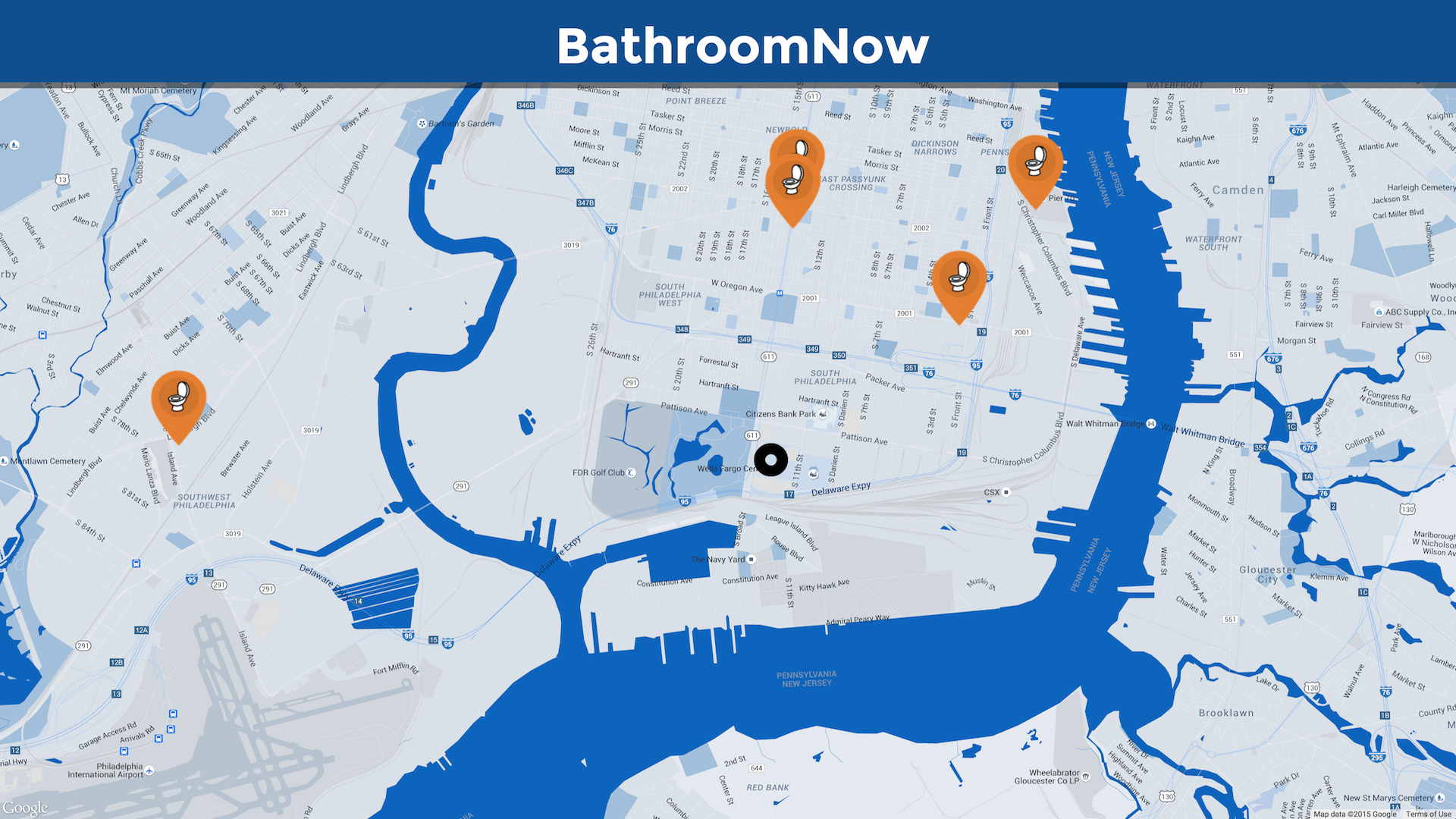
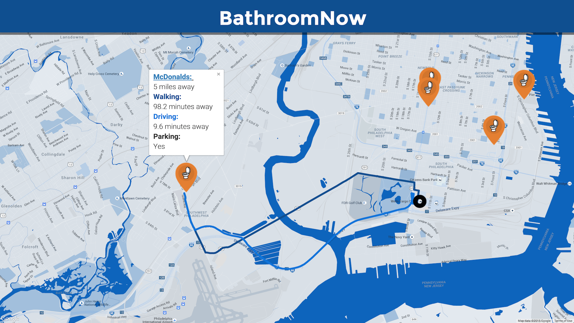
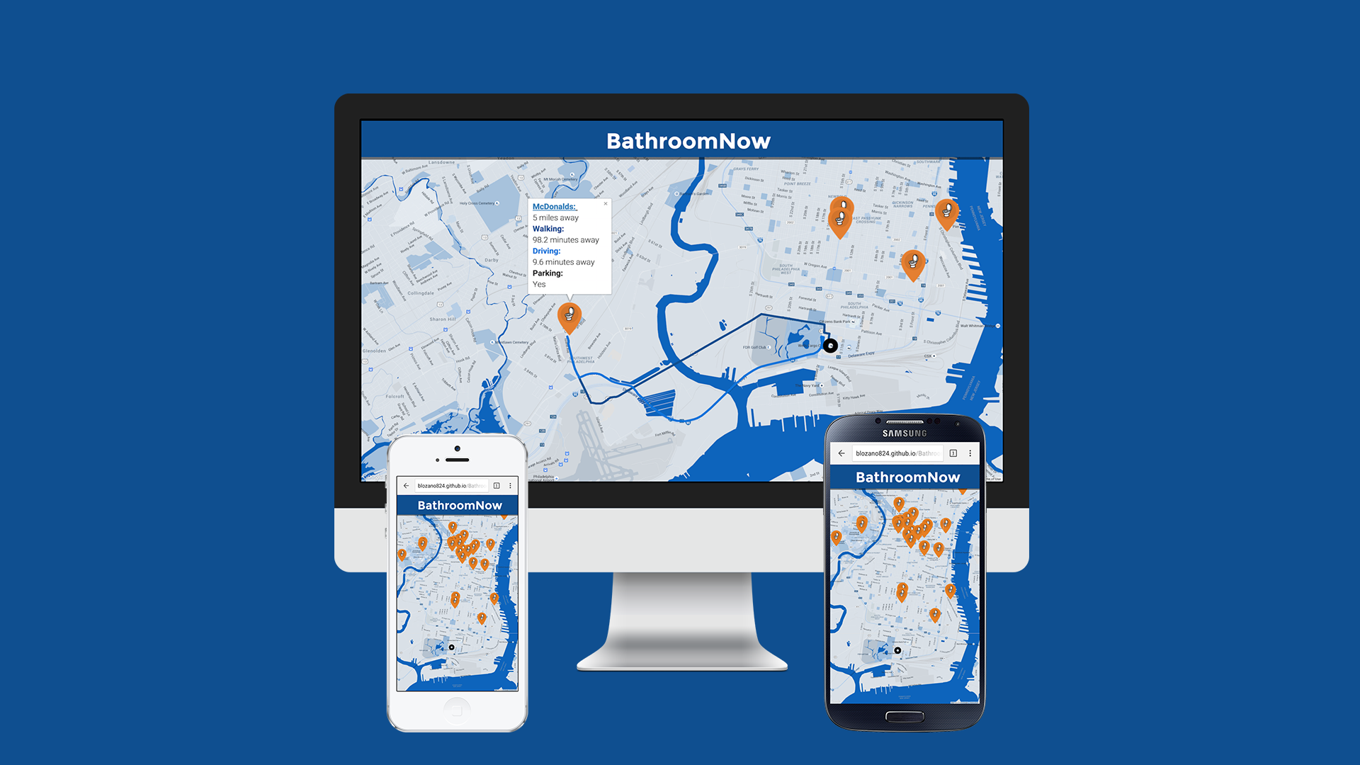
Our web application provides users a quick and easy way to find and use the nearest public restroom. It also provides users an estimate for how long it would take them to drive or walk to the location and the specific routes.
How I built it
We used the Google Maps API in order to create a custom map that would drop custom markers based on the latitudes and longitudes of the restrooms. We used Photoshop to create our icons and stored our gathered information about public restrooms on Firebase.
Challenges I ran into
One challenge that we ran into was calculating the distance from the user to public restrooms around them. We tried using the Haversine formula, which would give us the distance between two points on the Earth, but eventually found that calculating distance by route would be far more beneficial for the user.
Accomplishments that I'm proud of
We are proud of being able to use the Google Maps API in order to generate two polylines that would show a driving route and a walking route at once so the user himself could compare the two and decide which one is more efficient.
What I learned
We both learned a lot about how to use Google Maps API to generate custom maps that eliminate irrelevant information in order to fit specific needs and how to calculate the distance and duration of different routes.
What's next for BathroomNow
We plan on creating a page for people to submit their own information about new restrooms and create a larger collection of data to allow people to find even more options for where to go to the bathroom.

Log in or sign up for Devpost to join the conversation.