Barreleye Lens was built to bridge the educational barrier built by the lack of readabiltiy in data. Inspired bh the barreleye fish’s ability to filter the view to see what others can’t, we turned complex databases into an interactive map that shows where the risk and damage to our deep sea is coming from. As a team, we split tasks into our strengths, but stayed together for the whole. Justin focused on back-end and data handling, Jonathan built the front-end user experience, and Anna used her passion for environmental issues to research the data that that most developed the project’s message. ArcGIS was a learning curve, and with limited time, we put our effort and resources towards completing a program that stayed easy to use while communicating the issues. As a result, our tool gives communities access to information that they can actually read and act on.
Barreleye Lens
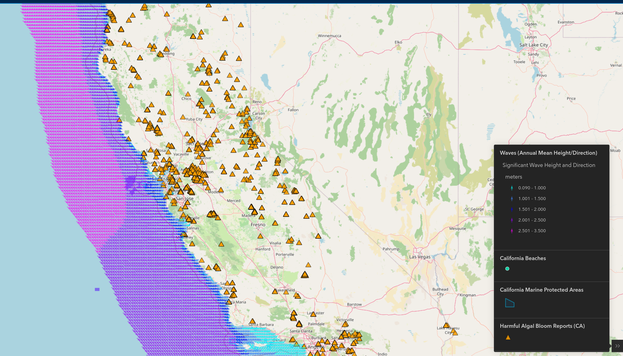
monitors at the most important ocean features in real time. It breaks down data into designs that people can actually use. This lets communities advocate against pollution and unsafe water conditions.
Updates

Leave feedback in the comments!
Log in or sign up for Devpost to join the conversation.