BaraWatch — Detect Early, Alert Faster, Protect Forests.
Inspiration
Forest and land fires remain a major environmental challenge in Indonesia, particularly in peatland regions such as Kalimantan and Sumatra. These fires threaten biodiversity, release significant greenhouse gas emissions, damage ecosystems, and affect the health and livelihoods of surrounding communities.
While platforms such as NASA FIRMS provide satellite-based hotspot observations, detecting a thermal anomaly does not necessarily confirm an actual wildfire. The challenge lies in transforming satellite information into timely, reliable, and actionable warnings for communities and emergency responders.
This inspired us to develop BaraWatch: AI-Powered Wildfire Early Warning and Response System.
We believe wildfire prevention should not depend solely on satellite monitoring. It should also involve local communities, intelligent data analysis, and accessible communication.
Our mission is to bridge the gap between satellite detection and real-world wildfire response.
What It Does
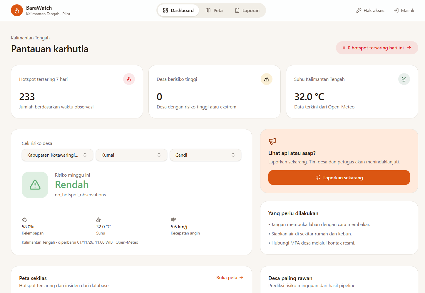
BaraWatch is a wildfire early warning and response platform designed to integrate satellite monitoring, geospatial intelligence, and community-based verification.
The platform focuses on five key capabilities:
- Satellite Hotspot Monitoring: Collects wildfire hotspot observations from NASA FIRMS using MODIS and VIIRS satellite data.
- Intelligent Hotspot Clustering: Uses DBSCAN to identify spatial concentrations of hotspots and group observations into potential wildfire incidents.
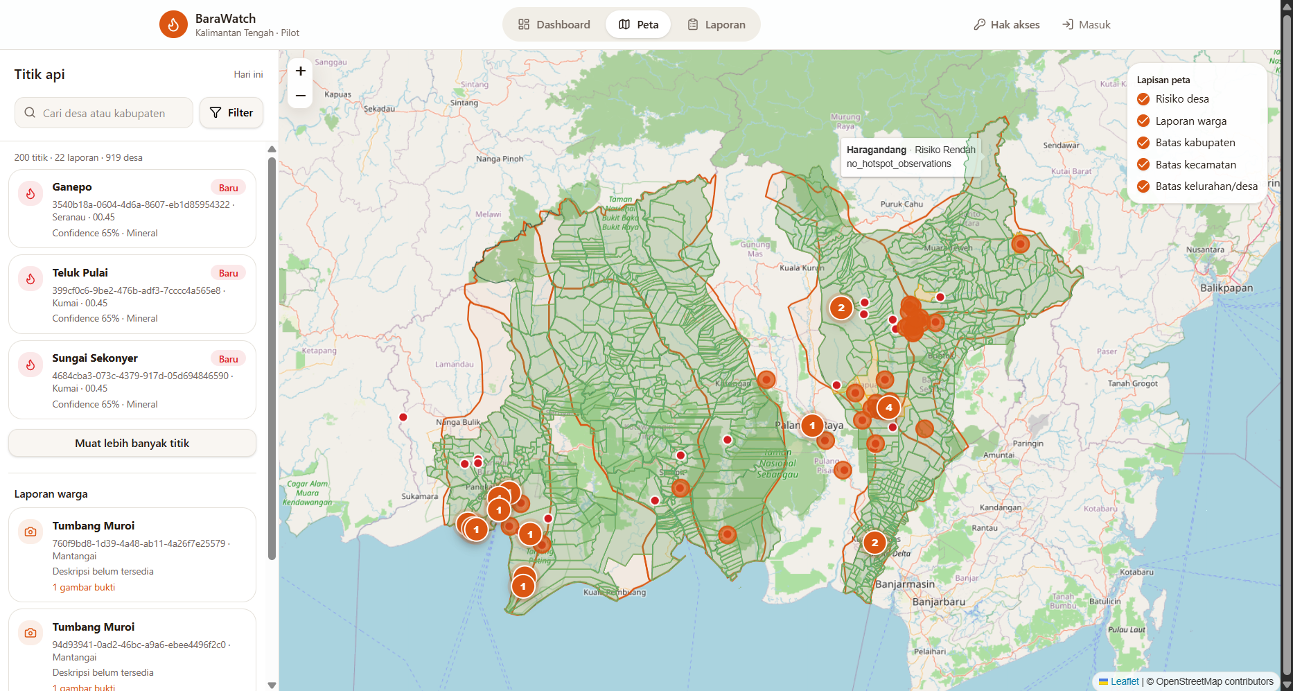
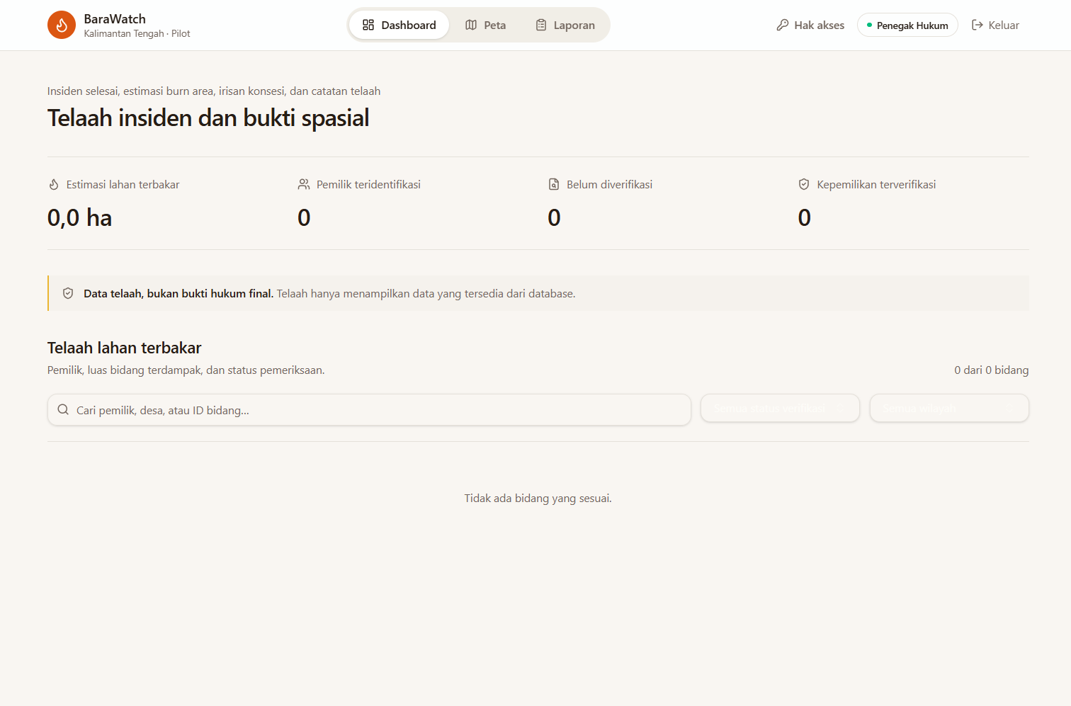
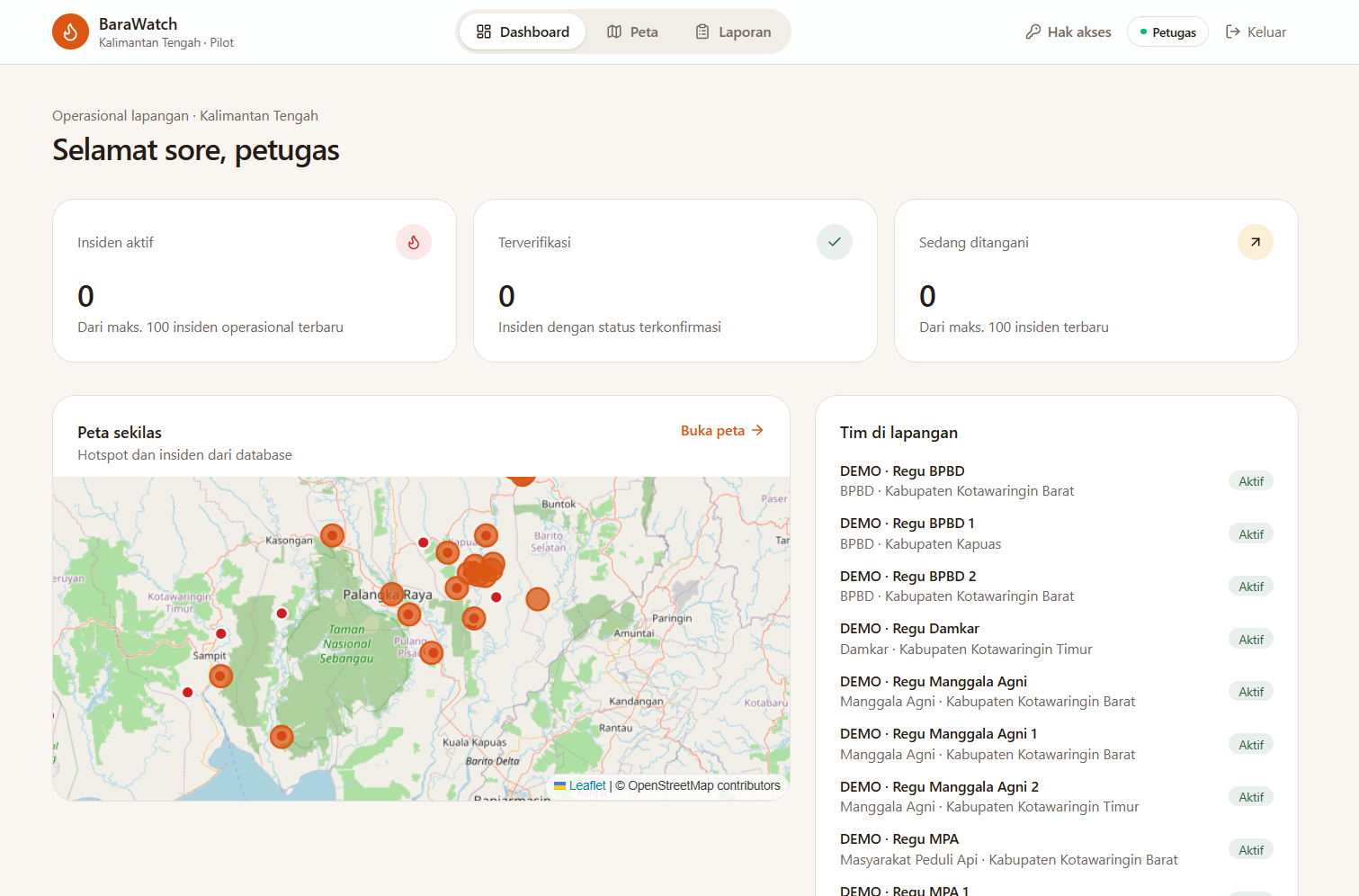
- Interactive Wildfire Mapping: Visualizes hotspot distribution, monitored regions, and incident information through a web-based geographic interface.
- Location-Based WhatsApp Alerts: Delivers targeted early warnings to users based on their subscribed villages or districts.
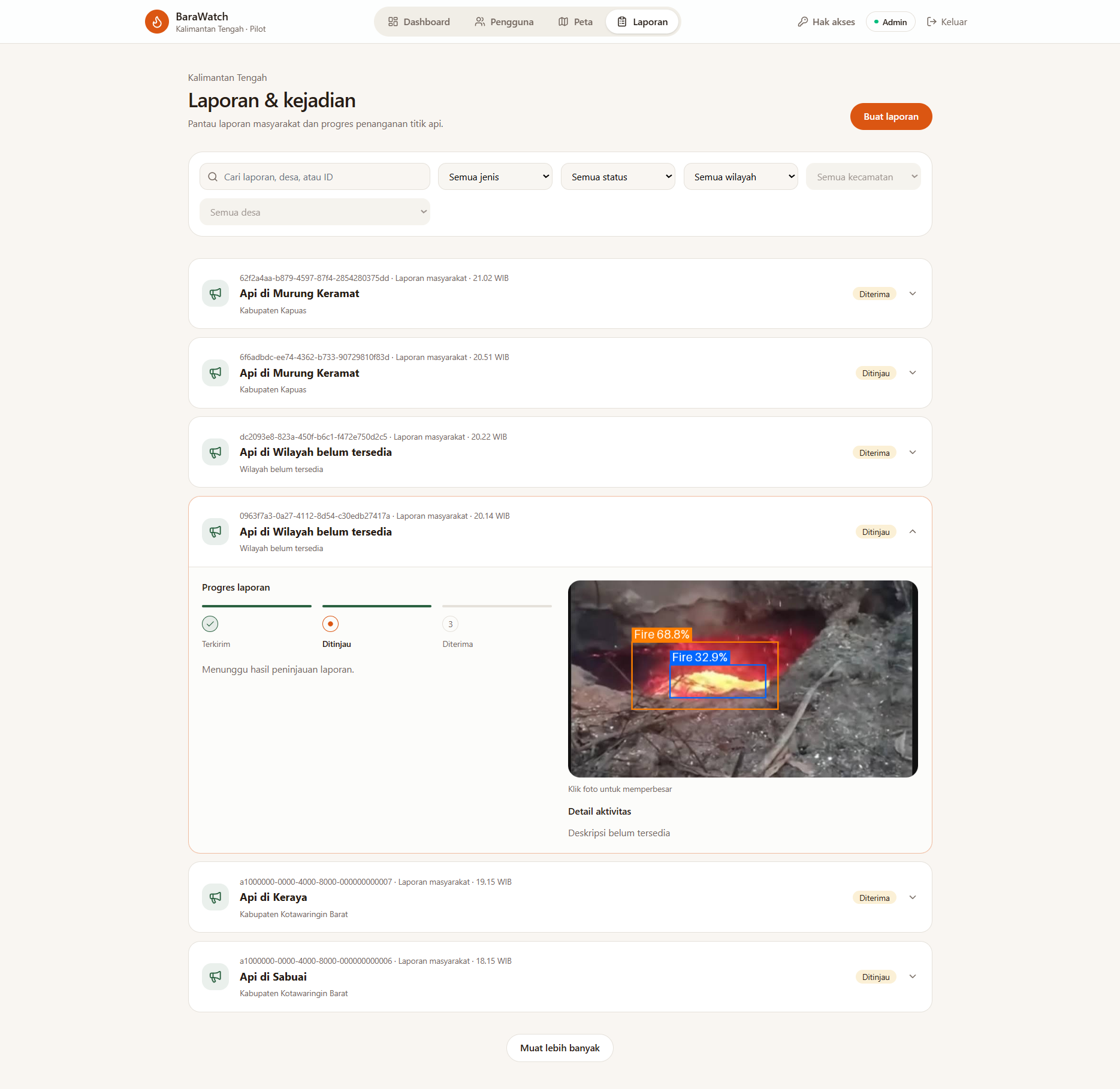
- Community-Driven Verification: Enables village representatives and community fire volunteers (Masyarakat Peduli Api, or MPA) to verify potential fires and help reduce false alarms.
BaraWatch is also designed to support future capabilities such as AI-powered fire and smoke detection, incident escalation, environmental risk assessment, and post-fire analysis.
Rather than replacing existing wildfire monitoring platforms, BaraWatch aims to make their information more accessible, localized, and actionable.
How We Built It
We designed BaraWatch using a modular architecture that separates the web application, AI processing, data management, and communication infrastructure.
Technology Stack
- Next.js & TypeScript: Full-stack web application, interactive monitoring dashboard, backend API, and business logic.
- FastAPI & Python: Independent AI and geospatial processing service.
- NASA FIRMS API: Satellite hotspot data from MODIS and VIIRS.
- DBSCAN: Density-based spatial clustering for identifying hotspot concentrations.
- Supabase PostgreSQL & PostGIS: Structured data storage, geographic relationships, and spatial queries.
- Supabase Auth & Storage: Dashboard authentication and supporting file storage.
- Twilio WhatsApp API: Two-way messaging, location-based notifications, and community verification.
- GitHub Actions: Scheduled satellite data ingestion and background processing triggers.
- Docker: Containerization of supporting services and development environments.
- Vercel: Web application deployment architecture.
System Architecture
BaraWatch separates application logic from computationally intensive AI processing.
Next.js serves as the main application layer, handling user interactions, authentication, database operations, incident management, and WhatsApp webhooks.
FastAPI provides specialized endpoints for spatial clustering and planned AI analysis. This separation allows machine learning workloads to run independently from the web interface.
Supabase stores hotspot observations, geographic regions, incidents, subscriptions, community assessments, and notification records.
Twilio provides a communication channel that connects the platform with residents and community fire volunteers through WhatsApp.
How the System Works
The core workflow is designed around the following process:
- Collect: Retrieve satellite hotspot observations from NASA FIRMS.
- Filter: Validate observations and distinguish potential wildfire hotspots from known non-wildfire heat sources.
- Cluster: Apply DBSCAN to group nearby hotspots into potential incidents.
- Map: Visualize hotspot distributions and incident locations.
- Alert: Send geographically relevant WhatsApp notifications to subscribed communities.
- Verify: Collect field assessments from MPA volunteers to determine whether an incident represents an actual fire.
- Respond: Use verified information to support escalation and emergency response coordination.
This workflow combines automated satellite intelligence with human verification to improve the relevance of early warnings.
Challenges We Faced
1. Turning Satellite Data into Meaningful Alerts
One of the central challenges is that satellite hotspots are not equivalent to confirmed wildfires.
Simply forwarding every detected hotspot could overwhelm users with unnecessary notifications.
To address this, we designed a workflow combining data filtering, DBSCAN clustering, incident tracking, and community verification. This helps distinguish individual satellite observations from incidents that require attention.
2. Integrating AI with Web Infrastructure
AI workloads and modern web applications have different computational requirements.
We separated our architecture into a Next.js application and a Python-based FastAPI service. This introduced additional considerations around API integration, containerization, deployment, and communication between services.
The approach provides a foundation for integrating more computationally demanding AI models without overloading the main web application.
3. Preventing Duplicate and Irrelevant Notifications
Repeated satellite detections can refer to the same evolving incident.
Our design addresses this through incident tracking, message deduplication, retry mechanisms, and geographic subscription filtering.
The goal is to deliver relevant updates without repeatedly treating the same fire as a completely new incident.
4. Maintaining Reliable Community Communication
WhatsApp makes wildfire information accessible, but implementing automated notifications requires careful handling of message templates, delivery status, provider webhooks, and user consent.
We chose a Twilio-based integration with a modular messaging adapter to support development and future flexibility.
5. Designing for Real-World Emergency Use
A wildfire warning system must consider both technical accuracy and operational responsibility.
BaraWatch therefore treats automated analysis as decision support rather than definitive evidence of a fire. Human verification remains an essential part of the proposed workflow.
What We Learned
Developing BaraWatch helped us understand that effective disaster technology involves more than collecting data or deploying AI models.
First, reliable data interpretation matters. Satellite observations must be validated and interpreted in context before they become useful warnings.
Second, geospatial intelligence is essential. Geographic clustering, spatial matching, and administrative boundaries help transform raw observations into location-specific information.
Third, AI should support human decisions. Community verification provides contextual knowledge that automated systems cannot always capture.
Fourth, system architecture affects reliability. Separating application logic from AI processing and introducing notification queues can make a complex platform easier to maintain and extend.
Finally, accessibility is a core part of disaster preparedness. Delivering information through familiar channels such as WhatsApp can help connect technical monitoring systems with people on the ground.
What's Next for BaraWatch
Our development roadmap follows three phases.
Phase 1 — Core MVP
Our immediate priority is establishing a functional early warning workflow:
- NASA FIRMS satellite data integration.
- Hotspot validation and DBSCAN clustering.
- Interactive web-based monitoring.
- Geographic WhatsApp subscriptions and alerts.
- MPA-based incident verification.
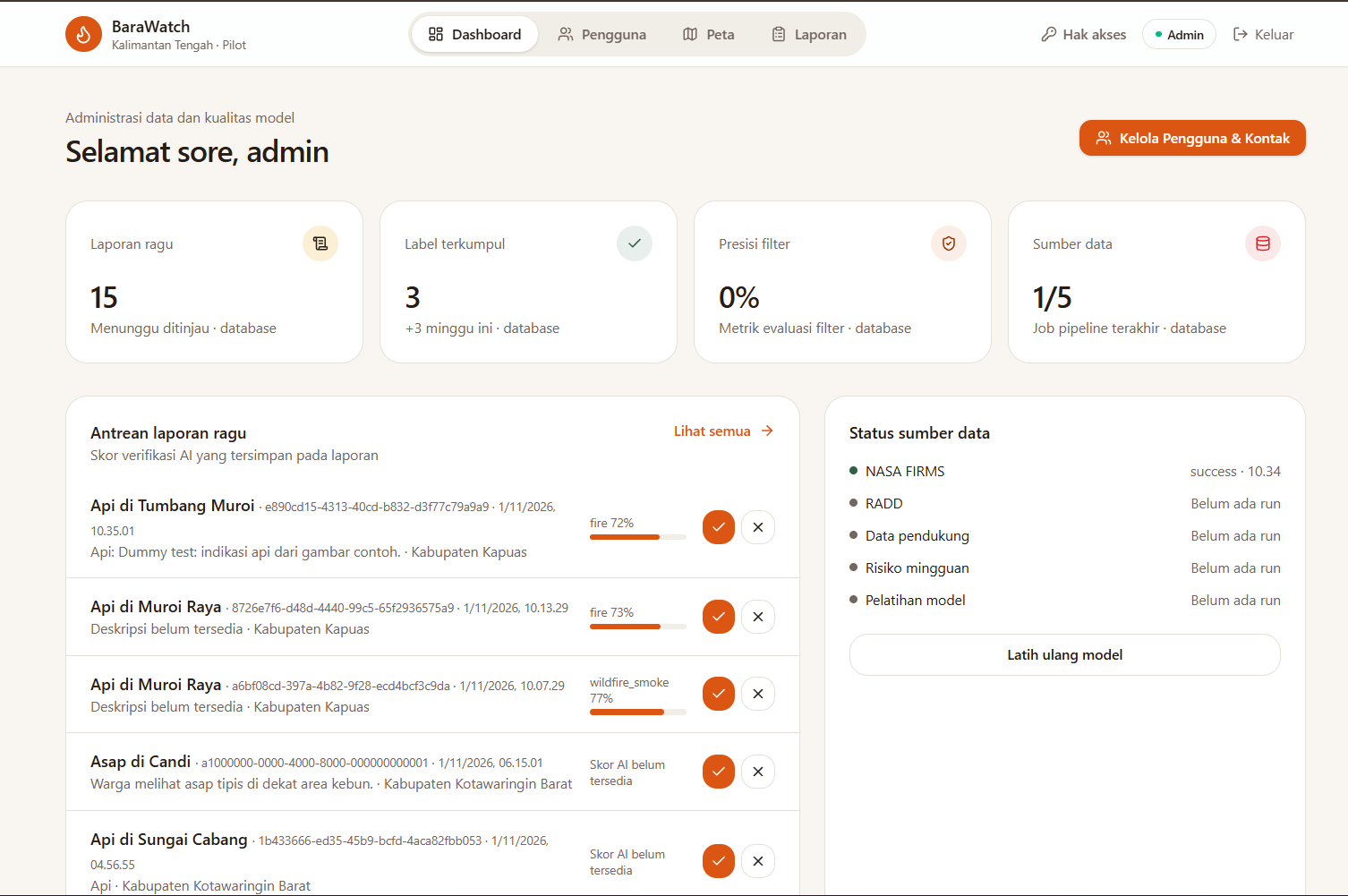
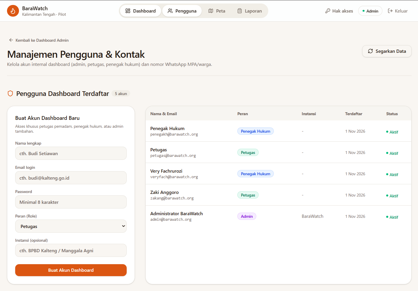
- Administrative monitoring and system configuration.
The initial pilot is focused on Central Kalimantan, a region with extensive peatlands and significant wildfire monitoring needs.
Phase 2 — AI-Assisted Verification and Response
The next phase will expand BaraWatch with:
- YOLO-based fire and smoke detection from community-submitted images.
- Spatial-temporal matching between reports and satellite observations.
- Environmental risk scoring.
- Emergency responder dashboards and incident escalation.
- Community reporting and verification management.
Phase 3 — Advanced Wildfire Intelligence
Long-term development will explore:
- Burned-area estimation using dNBR and satellite imagery.
- XGBoost-based wildfire risk prediction.
- Educational chatbot capabilities.
- Post-incident analysis and environmental monitoring.
- Broader geographic coverage across Indonesia.
Our Vision
We envision BaraWatch as a collaborative wildfire intelligence platform that connects satellite technology, AI, local communities, and emergency responders.
By turning raw observations into understandable alerts and enabling community participation in verification, we hope to support faster, more informed wildfire prevention and response.
Our project contributes to the goals of SDG 13: Climate Action, SDG 15: Life on Land, and SDG 11: Sustainable Cities and Communities.
BaraWatch — Detect Early, Alert Faster, Protect Forests.
Project Links
Live Demo: https://bara-watch.vercel.app/
GitHub Repository: https://github.com/VeryFach/BaraWatch
GitHub Release: https://github.com/VeryFach/BaraWatch/releases/tag/submission-24h
Project Presentation: View Presentation
Feel Free to Try!
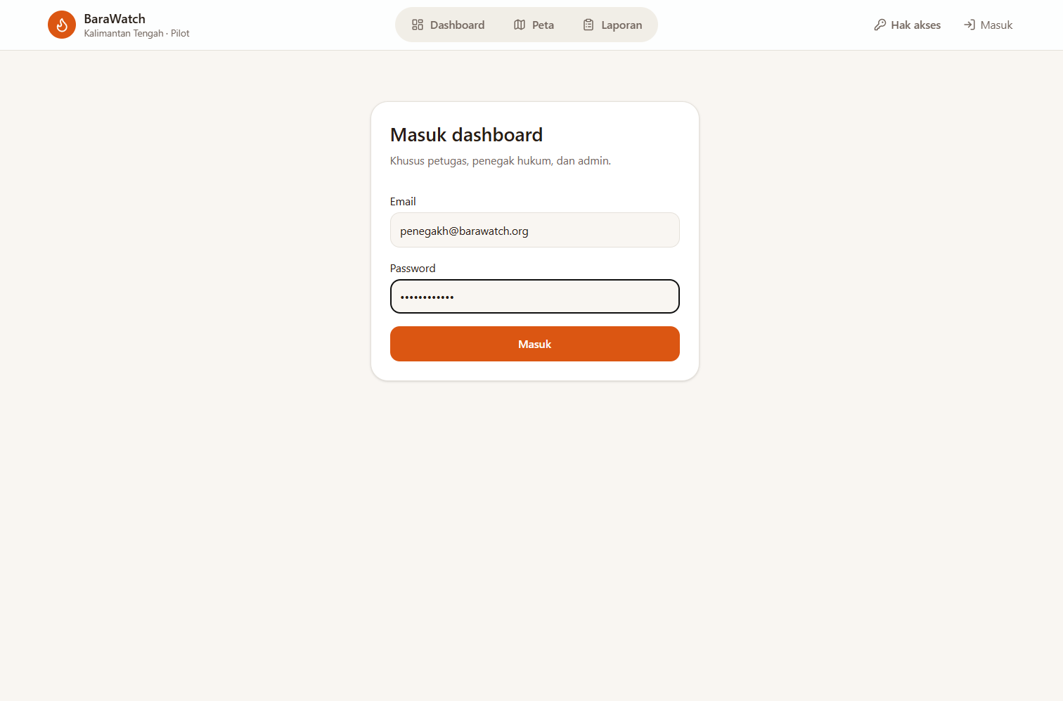
You can explore BaraWatch using the following demo accounts:
Admin Account
- Email:
[email protected] - Password:
bismillahgac0r
Petugas Account
- Email:
[email protected] - Password:
Petugas123
Penegak Hukum Account
- Email:
[email protected] - Password:
PenegakHukum
Message to +1 (415) 523-8886 with join buy-apple
Contributors
- Very Fachrurozi: AI Engineer
- Zaki Anggoro: Frontend Developer
- Muhammad Raka Fadillah: Backend Developer & Product Manager
Built With
- fastapi
- next.js
- prosgres
- python
- typescript


Log in or sign up for Devpost to join the conversation.