-
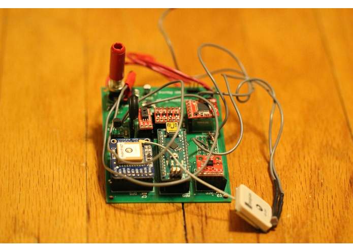
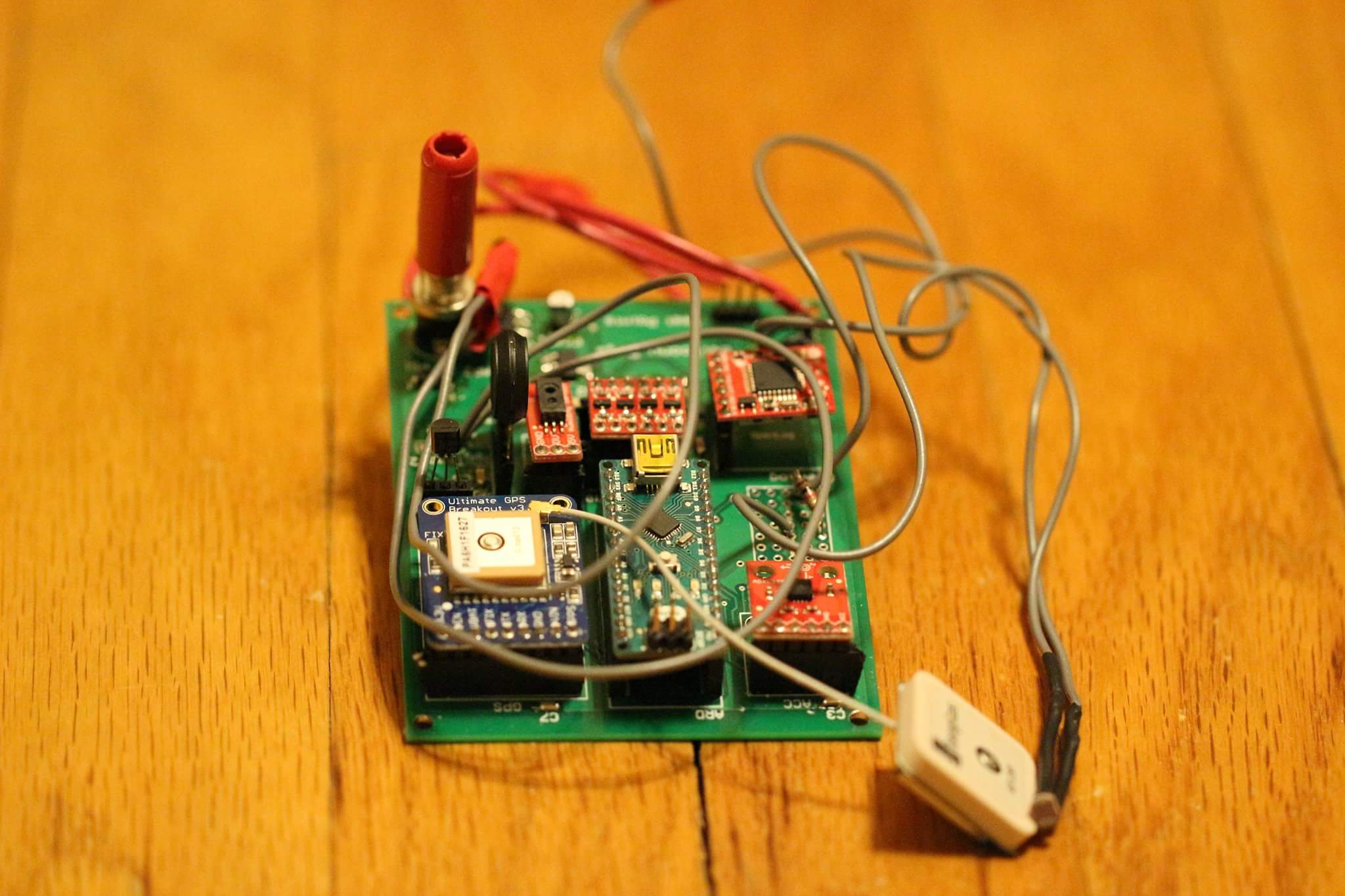
Finished PCB
-
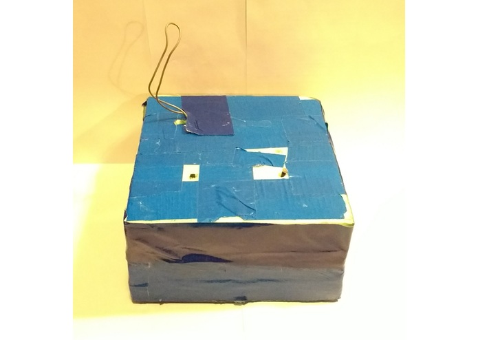
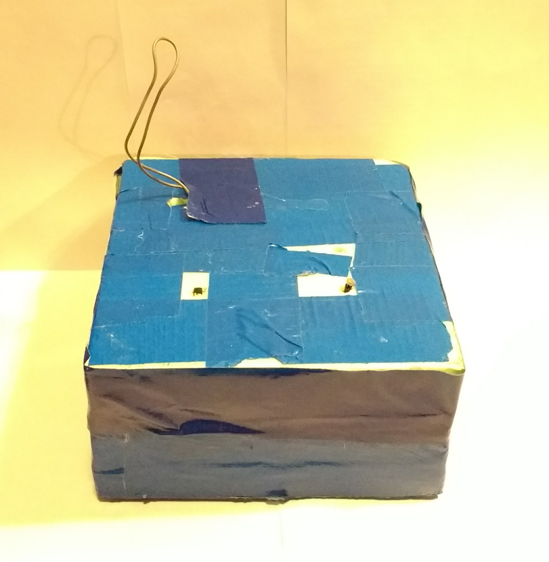
Payload (external)
-
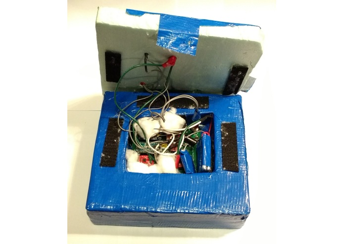
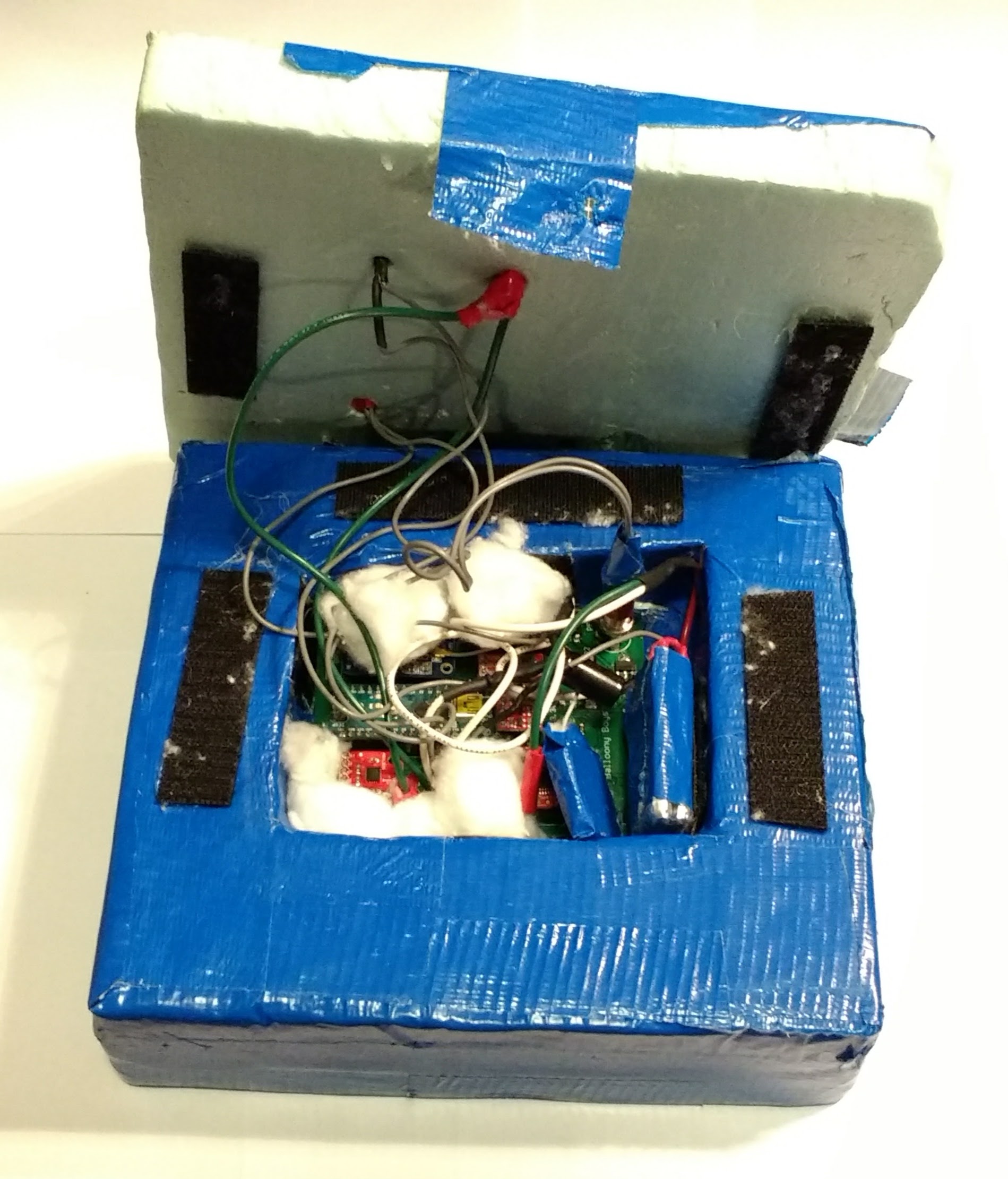
Payload (internal)
-
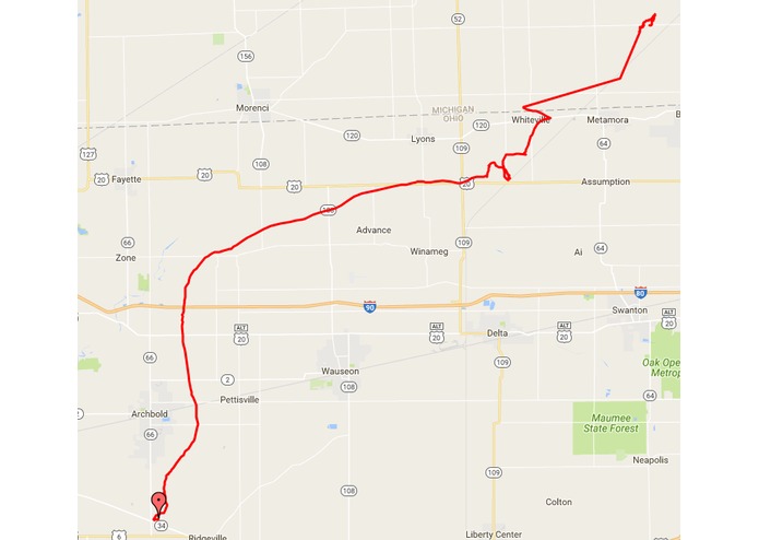
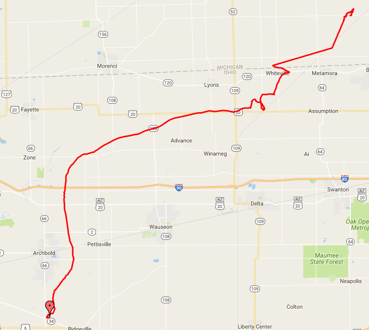
GPS data collected on flight
What does this do?
Collects data using an Arduino from sensors including an accelerometer, temperature sensor, pressure sensor, GPS, photocell, and humidity sensor. The system is attached to a high-altitude balloon as a payload and data is collected throughout the journey of the balloon.
Sensor calibration and data analysis is performed by MATLAB code within the repository. HTML and JavaScript are used to plot GPS data using Google Maps.
This is an ENGR100-950 project at the University of Michigan.

Log in or sign up for Devpost to join the conversation.