-
-
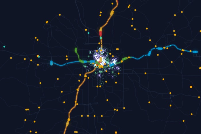
The live map!
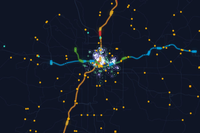
Inspiration
I saw a demo recently of a PCB map of Seattle transit, which inspired me to build my own tracker for Seattle last weekend. Then I saw MLH's track for open city data, so I built a similar app for Atlanta, pulling from MARTA, CobbLinc, Gwinnett Transit, scooter feeds, traffic cameras, and even local sports (go Braves!).
What it does
Atlanta Live shows every public bus, train, and scooter moving across the metro right now, on a map of every route in ATL. It also shows when a local team is playing, with the live score.
How I built it
I gave my coding agent (Opus 5/Sonnet 5) strategic direction, and it worked out how to pull the data and render the map. It nailed the hard part: tweening vehicle positions between GPS updates so the motion reads as continuous instead of jumpy. Hosting was easy with Charming, which handles the live runtime, DNS, and public sharing.
Since Charming hosts it, I also made it a template. Anyone can copy it and customize it with their own AI chat (Claude, ChatGPT, Cursor, etc.)!
Challenges I ran into
Few. Coding agents are really good. Opus 5/Sonnet 5 did ALL the coding. I mostly caught UI bugs and nudged it when it missed something, like the time I added an API key for new feeds, and when it forgot to wire up the routes. Building a custom live data tracker for a whole city, in one day, took surprisingly little effort with coding agents and a host built for personal apps like Charming.
What's next
I'm not from Atlanta, so I hope people who are from here take my template and take it further, whether that's making it more personal or more useful. It's already live on a public link, and I'm posting it to r/Atlanta to see if anyone builds something better than I did.
Built With
- charming
- claude
- javacript


Log in or sign up for Devpost to join the conversation.