-
-

Logo
-
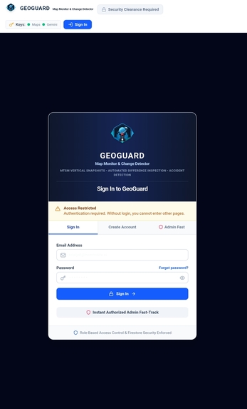
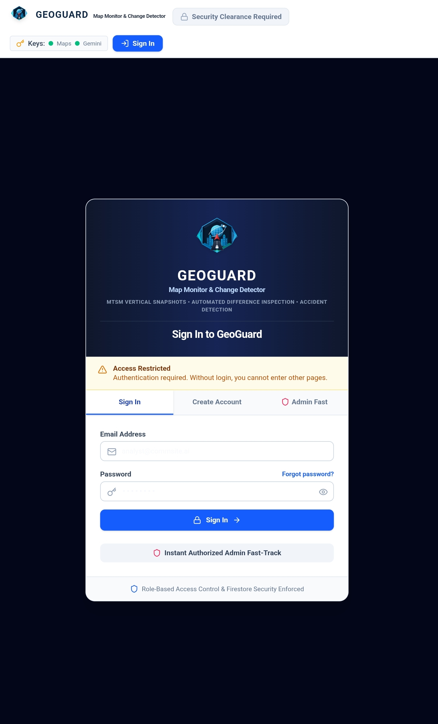
Login Page
-
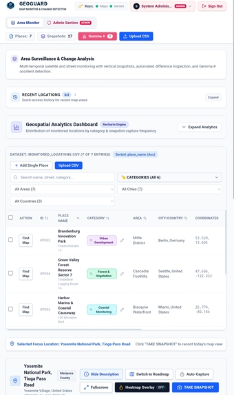
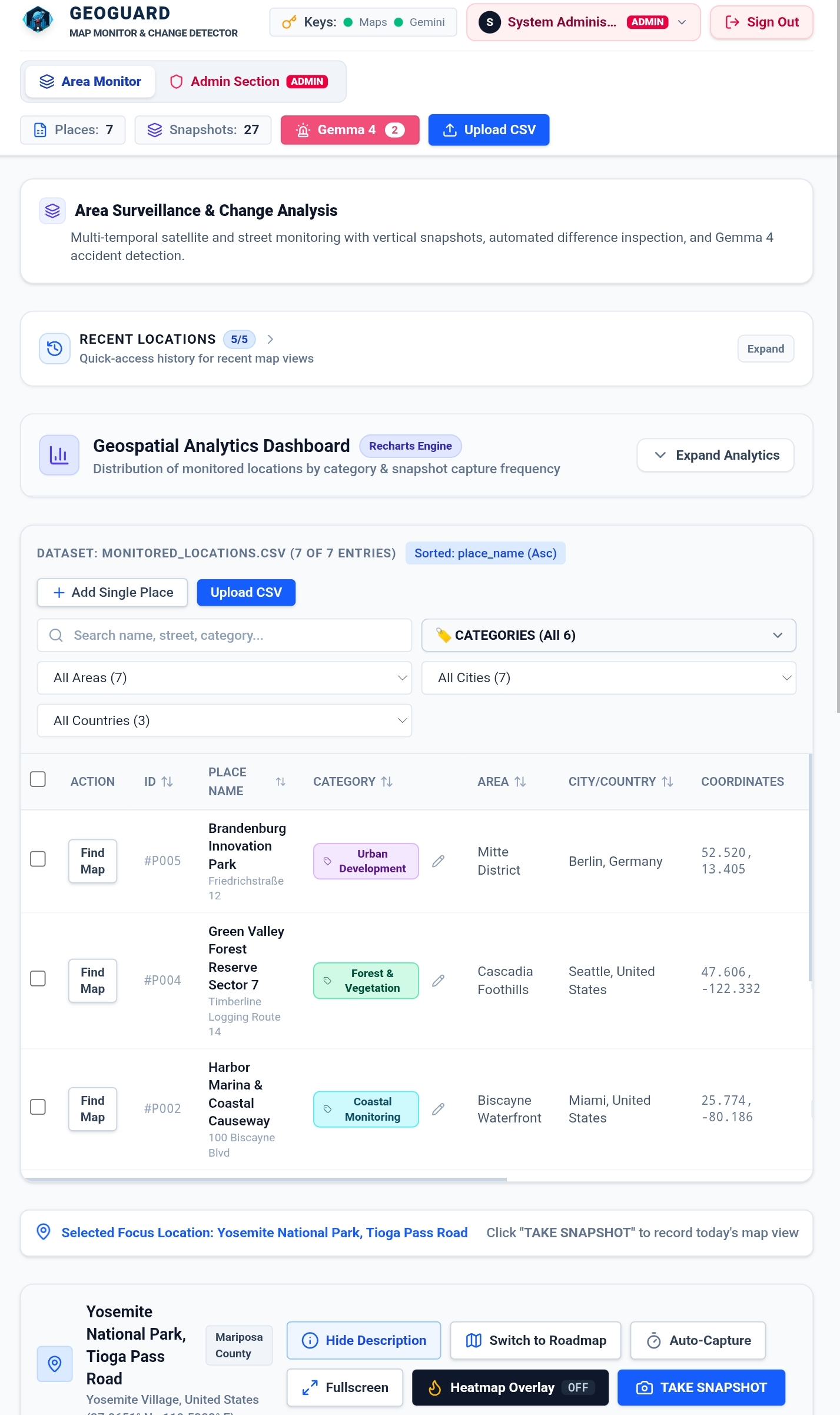
Places list
-
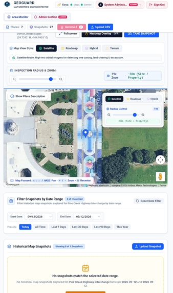
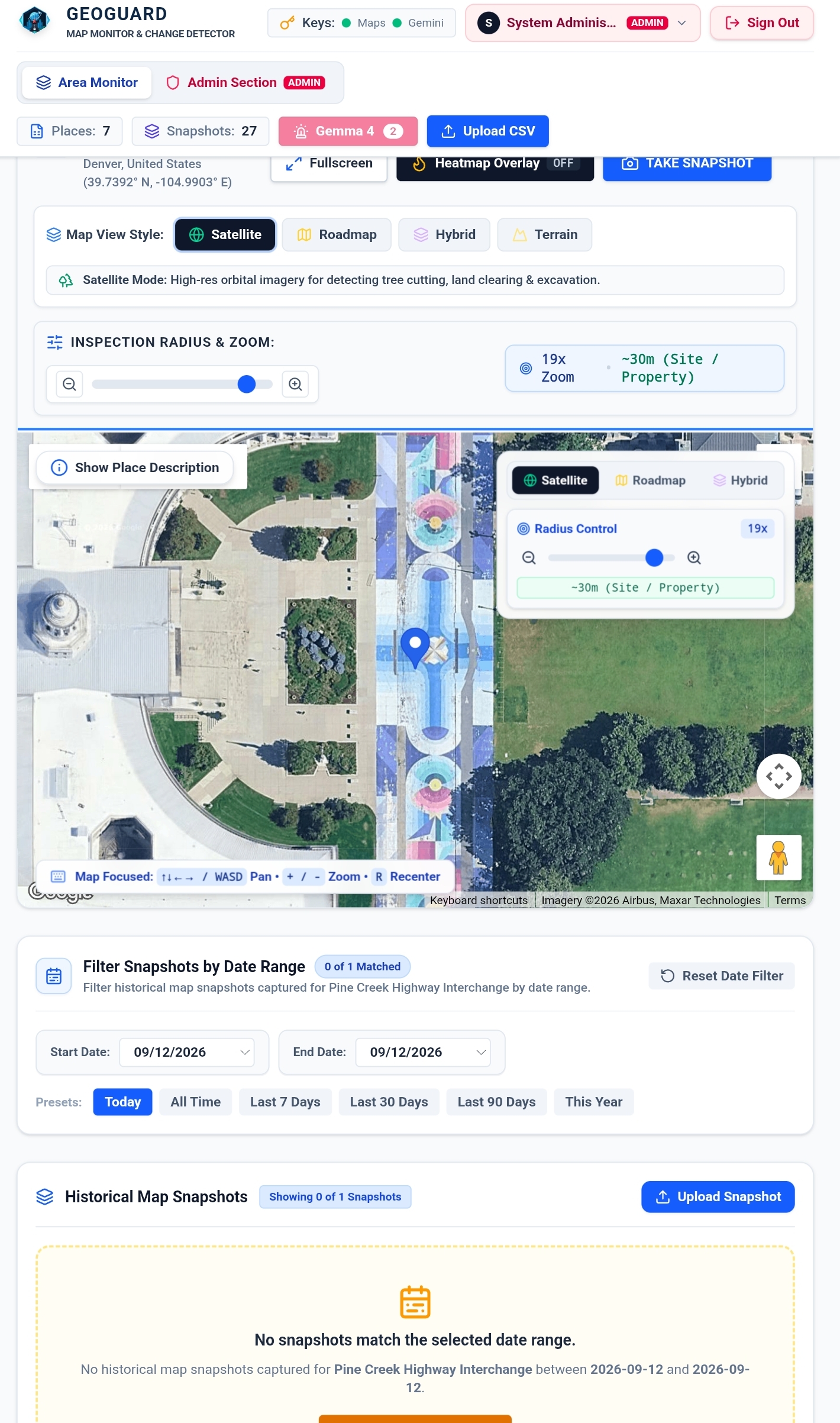
Také snapshot via Google Maps
-
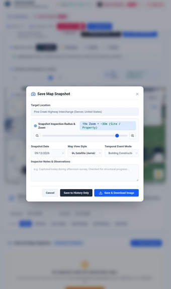
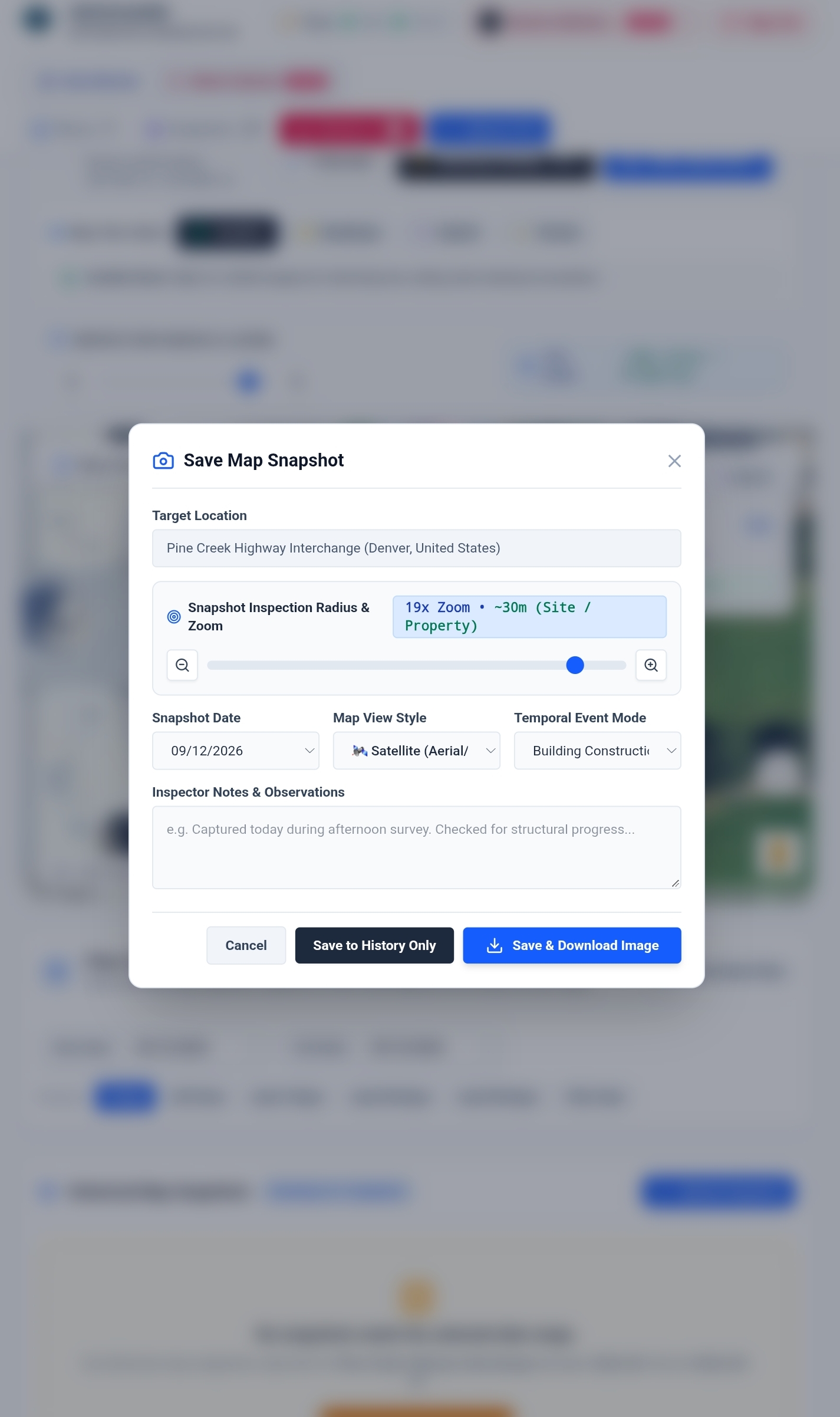
Taking snapshot
-
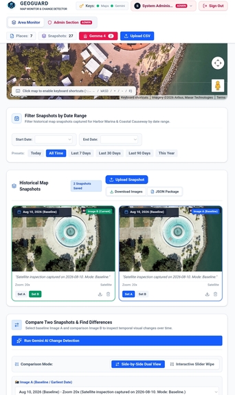
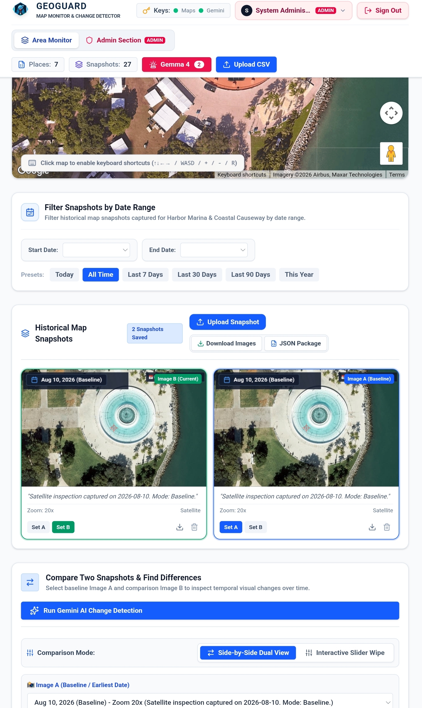
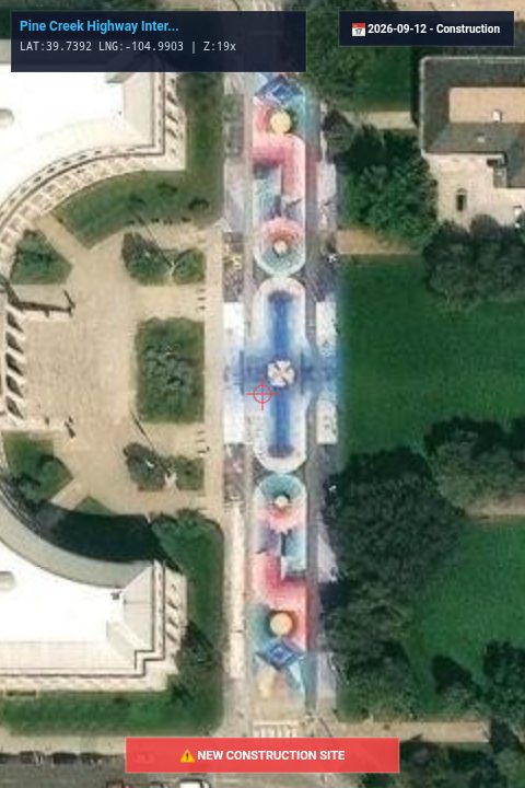
Compare two snapshots detect differences
-
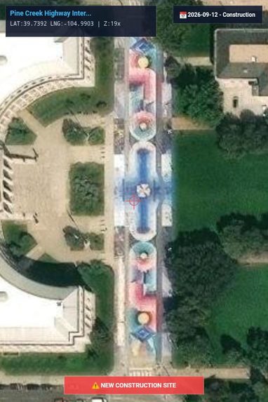
-
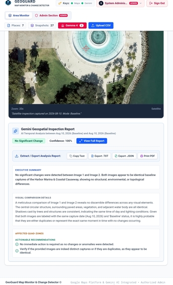
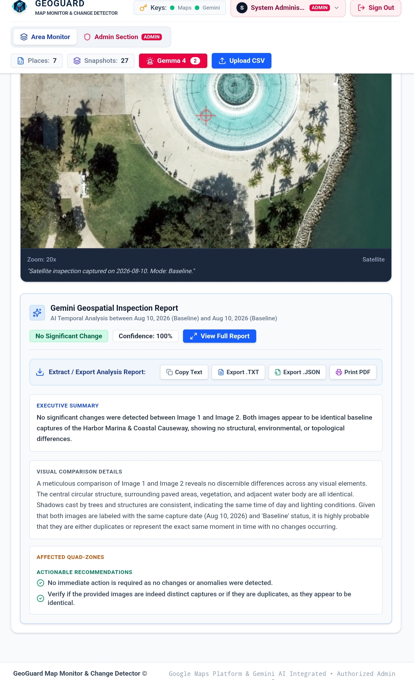
Result detection

What's next for GeoGuard Map Monitor & Change Detector
Overview
The goal of this program is to streamline the operations of various agencies responsible for monitoring specific areas. Users input a list of areas under their supervision and track changes—such as new building construction, vehicle accidents, natural disasters, or tree felling—using Google Maps imagery. They capture an initial image of the area and subsequently compare it with daily Google Maps images to detect discrepancies. The program analyzes these images to identify any changes and reports the results. I utilized Gemma 4 to implement the notification system: the user selects an event type and a specific city or area, and the system checks whether the event has occurred, providing feedback via a notification. The program also features an automated notification system to alert users. For instance, users can set up automatic alerts for specific areas and event types; if such an event occurs in the designated area, a notification is automatically sent to the user.
A Google Maps API key was used.
Who can be the users of the program?
State agencies controlling the territories (Instant detection of unauthorized building construction, tree felling in parks, car accidents, and traffic congestion issues.) Volunteers supporting nature (regarding tree felling and the detection of natural disasters) For drivers to stay informed about roads with heavy traffic and find alternative ways Tourists exploring places to visit (Via the program, tourists can view real images of their intended destination and decide whether or not it interests them.)
Built With
- cloud
- css
- database
- google-geocoding
- javascript
- python
- react

Log in or sign up for Devpost to join the conversation.