Project Story — ARCHER
About the Project
ARCHER (Autonomous Robotic Coordination for Hazard Evasion & Reconnaissance) is an AI-powered autonomous drone system designed to make drone operations smarter, safer, and more accessible.
Our goal was to go beyond traditional remote-controlled drones by developing a system capable of understanding natural-language commands, planning missions, navigating around obstacles, and monitoring flight operations in real time.
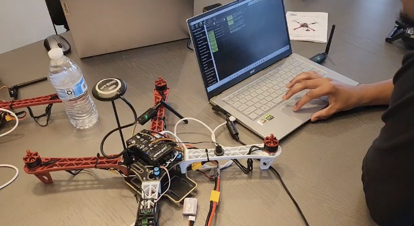
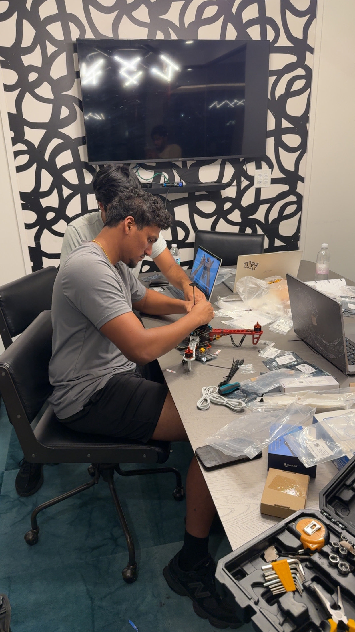
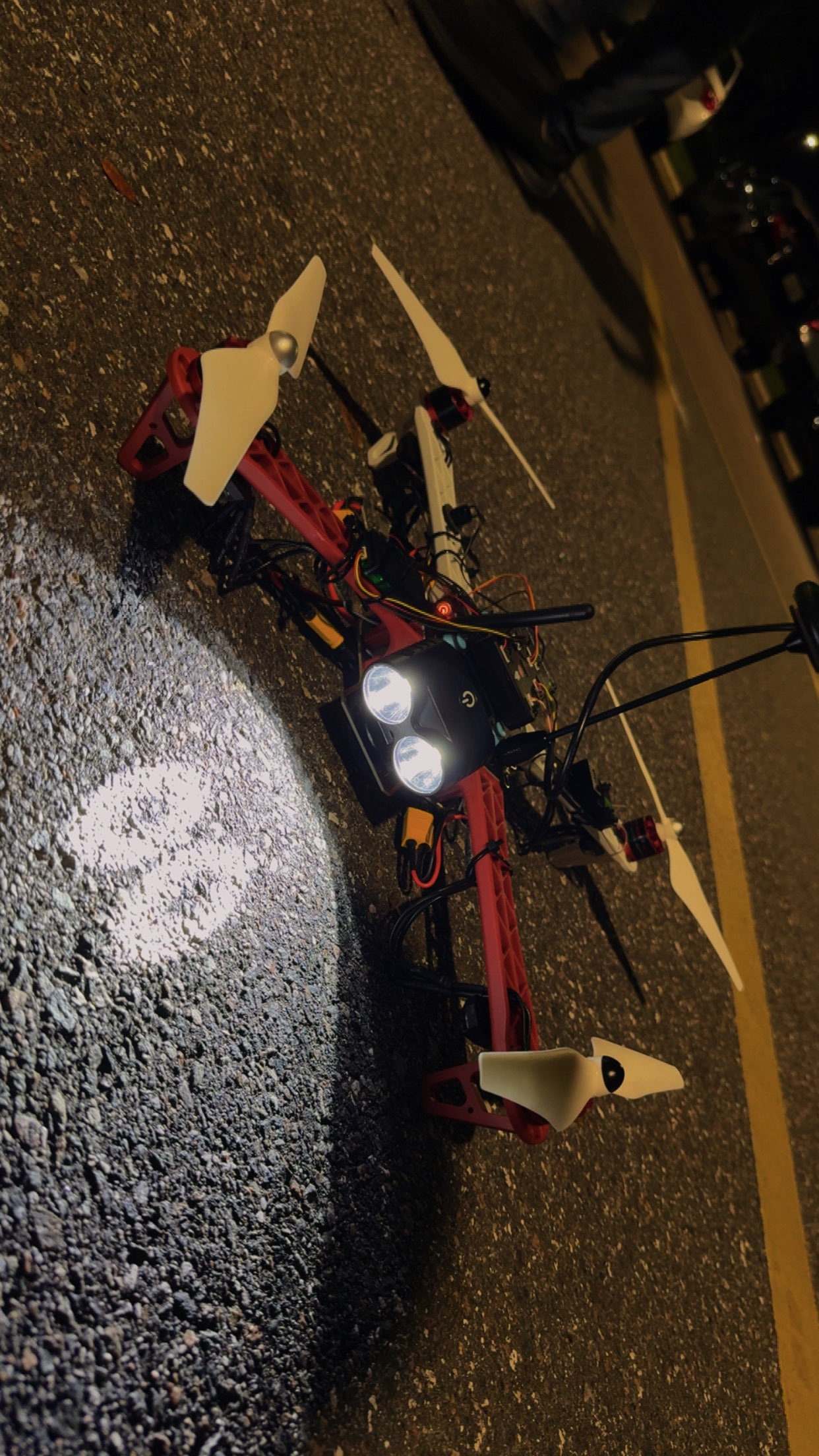
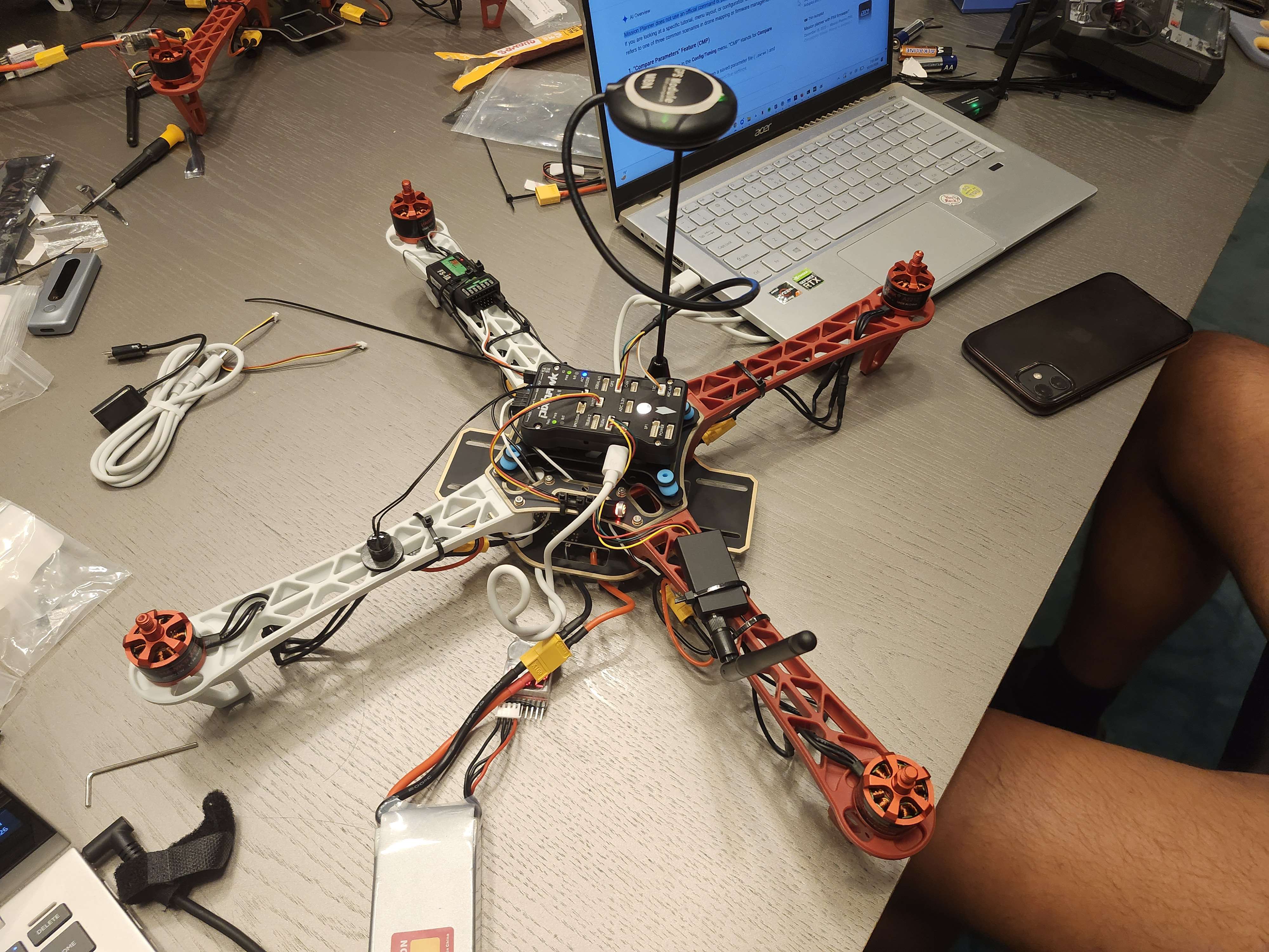
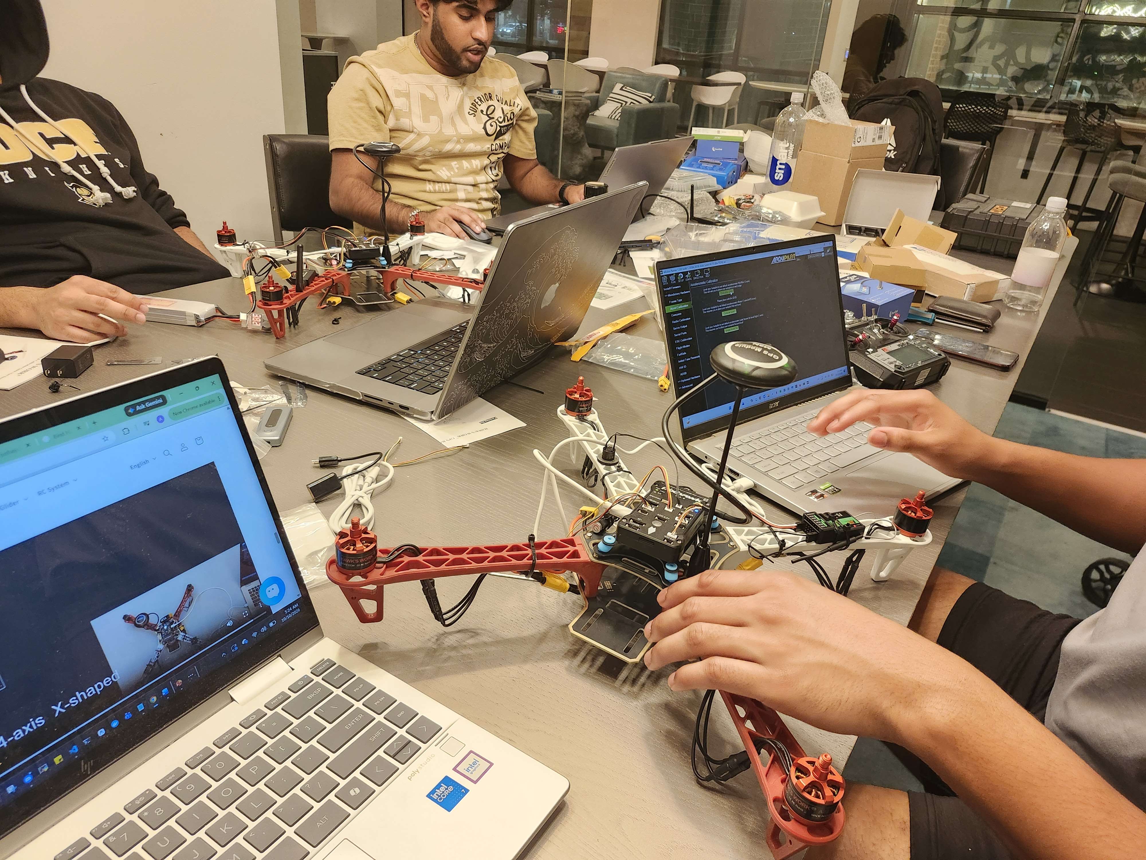
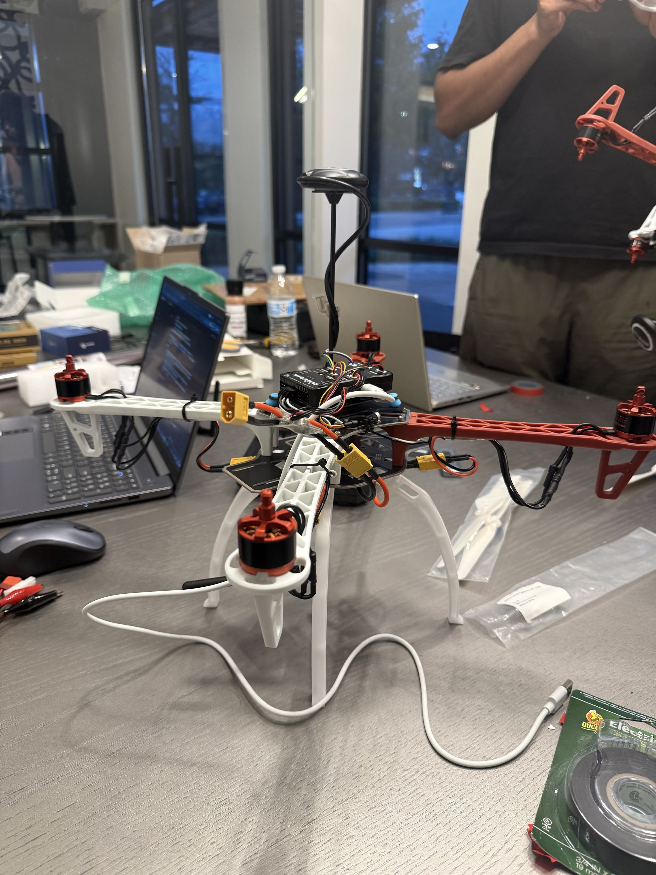
ARCHER combines artificial intelligence, autonomous navigation, computer vision, and drone hardware into one integrated platform. Using a Pixhawk-based flight controller and MAVLink communication, the system connects drone hardware to a Python-based autonomy framework and a custom-built ground-control dashboard.
One of ARCHER's core features is its AI mission-planning architecture, which uses Claude to interpret mission objectives and translate them into structured flight actions. Its navigation system incorporates geofencing, waypoint planning, obstacle avoidance, and autonomous flight patterns such as surveying, patrolling, and orbiting.
We also developed a ground-control interface that brings together live drone telemetry, GPS tracking, 3D mapping, camera feeds, and AI-assisted flight monitoring. This allows operators to visualize drone activity, inspect flight data, and manage missions from a centralized dashboard.
Throughout development, we used PX4 SITL and Gazebo simulation to test autonomous behaviors before moving toward real-world hardware integration.
ARCHER represents our vision of a future where drones are more than remotely operated machines — they are intelligent robotic systems capable of assisting humans with complex tasks.
Our long-term vision is to expand ARCHER into a scalable multi-drone platform for applications such as search and rescue, environmental monitoring, infrastructure inspection, and autonomous reconnaissance.
Built With
- anthropic-claude-api
- ardupilot
- brushless-motors
- cesiumjs
- claude-code
- drone-camera
- escs
- f450-quadcopter
- gazebo
- github
- google-maps-platform
- gps-module
- javascript
- mavlink
- mavsdk
- mission-planner
- opencv
- pixhawk
- protocol
- px4-autopilot
- python
- pytorch
- telemetry-radio
- websockets
- yolov8


Log in or sign up for Devpost to join the conversation.