-
-
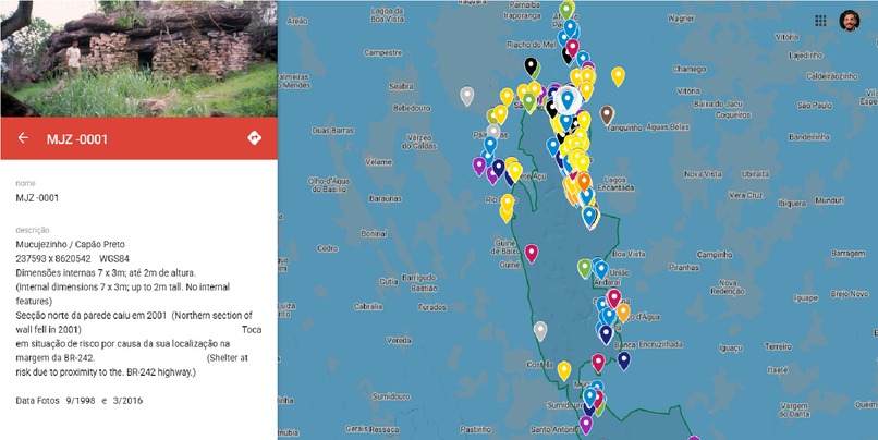
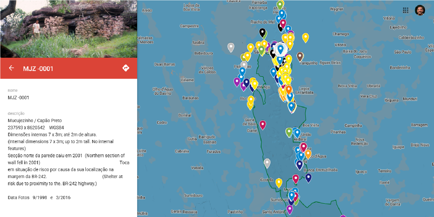
Overview of the archaeological map of diamond mining in the region viewed with Google Maps API.
-

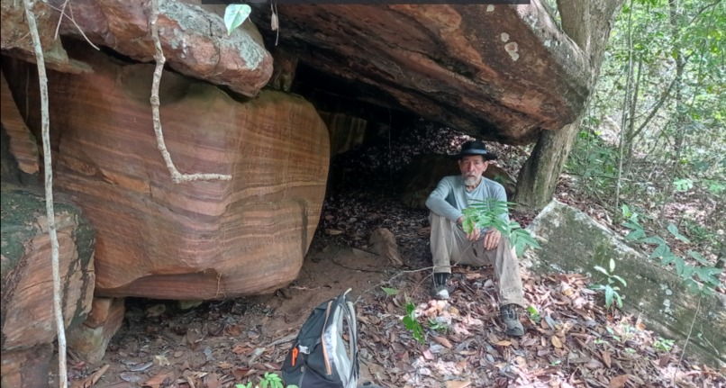
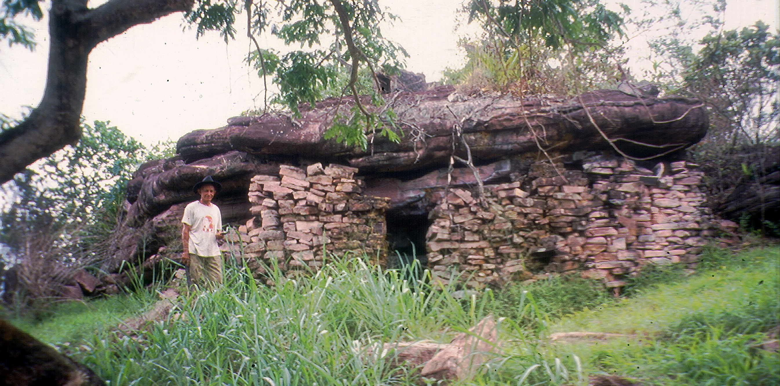
One of the 765 points on the interactive map an old miner's house and your local guardian.
-
Since the 1990s, Roy Funch has been doing the mapping that can now be seen with this Google Maps API.
-
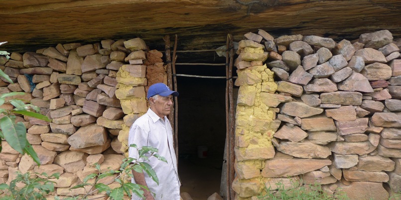
Old guardians were mapped between the years 1994 and 2024, a field work carried out by Roy Funch.
-
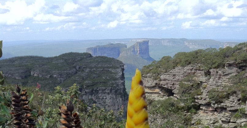
In this region of Brazil, using Google Maps allows insights into the landscapes, places and human cultures.


Inspiration
This is Map of Old Diamond Rush! To revive and share the legacy of manual diamond mining in the Chapada Diamantina region of Brazil, we transformed detailed archaeological data from +750 sites into an interactive analog-digital narrative using Google Maps.
What it does
We converted extensive archaeological records for interactive geospatial visualization, leveraging Google Maps API, Google Earth’s 3D capabilities and data management through Google Sheets, integrating them on a responsive Google Sites platform. This map of sites dating back 150 years invites communities and travelers to discover new places and details of manual diamond mining archaeology.
How we built it
We structured the historical dataset in Google Sheets to facilitate dynamic updates, precisely georeferencing each location using analog UTM coordinates, and visualized them with custom KML digital layers in Google Earth and Maps – delivering a unique experience through a user-friendly interface built with Google Sites. A 40-year analog work that was digitized in 30 days with Google Maps!
Challenges we ran into
Accurately aligning legacy UTM data with Google Earth’s WGS84 system required careful coordinate transformation and validation. Integrating multi-format data (photos, descriptions, geospatial points) into seamless interactive elements challenged workflow optimization.
Accomplishments that we're proud of
We successfully digitized a large and complex archaeological archive into a visually compelling, accessible platform, demonstrating how freely available Google tools can help preserve a rich cultural heritage while enabling user engagement.
What we learned
We gained practical expertise in combining multiple Google APIs and tools (Sheets for data management, Maps and Earth for spatial visualization, and Sites for distribution) to craft a scalable and maintainable digital project in a 1500 km2 National Park with 2 billion year old landscapes that attract more than 200,000 tourists a year from all over the world who can explore the region using maps like this.
What's next for Map of Old Diamond Rush
Future development includes integrating new site data, embedding oral histories via multimedia content, and implementing bilingual support (SDK) to ensure that the map remains an evolving resource through community collaboration using Google Forms.


Log in or sign up for Devpost to join the conversation.