-
-
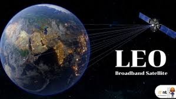
AR Geodata: geospatial information from GIS systems visualized using AR-enabled devices exist transforming utility planning and operations.

Inspiration in Geographic Information System, GIS: manages Geospatial Data exists information, location occurs in real world from Smartphones, IoT sensors, drones, satellite images. Infinite stream called Geodata. Such as; map images, satellite images, numbers, letters, and distances into analysis through computer program.
What it does creates AI Geodata: integrating spatial data and geographic context into AI systems, location intelligence.
AR Geodata: geospatial information from GIS systems visualized using AR-enabled devices exist transforming utility planning and operations
How we built it in the example platform possibly configs for model detection with special inspector equipment which anywhere in global occur in event of location. It exists in Geodata AI. It can occur in
Context, especially it can occur in image to transform in video and Live News.
Challenges we ran into AR Geodata: Augmented Reality AR technologies expand scope of geospatial applications, offering immersive and interactive experiences.
Accomplishments that we're proud of AR Global News Container : Global Website in AR Location, Inspector Equipment in Various AR News, Photorealistic 3D Tiles in AR Search, and Immersion in AR News online.
What we learned on Geodata from remote sensing of Landsat 8 and Landsat 9. Result of process in AR Global News via Landsat9 procedure.
What's next for AR Global News: AR Global News Management in new configuration for future: Global Website, AR Global Inspector, 3D tiles search, and AR various news. All of them detect from news and current events that have impact on people’s daily life, critical analysis of current situations affecting politics, economy, society, distinguishing, interpretation and information linking skills and presenting results of event analysis.
Built With
- github
- powerfolder
- vscode
- wmv
- work
- youtube
Log in or sign up for Devpost to join the conversation.