Problem
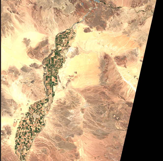
Billions of gallons of clean water are vanishing and no one sees it happen. In arid regions around the planet, water is pumped across hundreds of miles, through pipelines and canals that run through deserts, mountains, and rural terrains.
These are lifelines, supplying cities, farms, and communities with the most critical resource on Earth. However, Cracks, leaks, and seepage silently waste billions of gallons each year. In Arizona alone, aging pipelines lose enough water annually to supply tens of thousands of homes. Globally, the problem is even worse, some regions lose 30-40% of all transported water before it ever reaches a tap.
The worst part however is that these leaks are invisible, they happen underground, they're too small to flood, and they're often ignored until its too late.
Inspiration
I was reading about water restrictions in Arizona during a climate change module at school, and one line caught me off guard.
“Arizona’s Central Canal loses over 8 billion gallons of clean water per year, just from leaks and evaporation.”
That number floored me. At first, I thought: Well, someone’s probably on it. But the more I looked, the more I realized how invisible this problem really is. Most pipelines aren’t monitored in real time. I remembered NDWI from a past GIS class, how satellites can pick up moisture.
That's when AquaSpot was born.
What it does
AquaSpot detects hidden water leaks in desert pipelines using only satellite images and software.
- Scans satellite imagery over known pipeline or canal corridors
- Analyzes moisture patterns with NDWI to find areas that look unexpectedly “wet”
- Uses AI to compare images over time to flag new moisture anomalies (potential leaks)
- Pins those spots on a live map, so utilities know exactly where to check
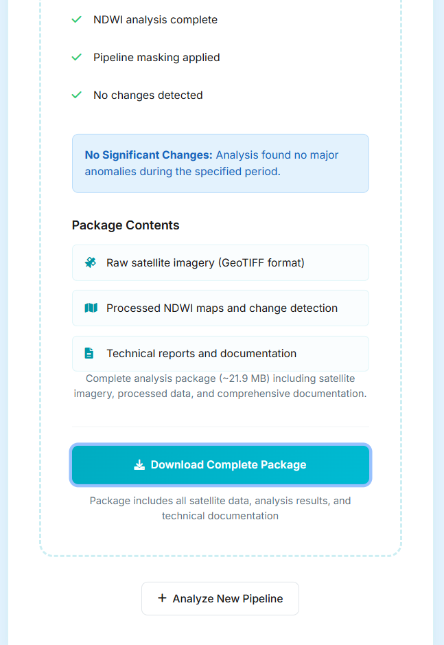
- Auto-generates a leak report (PDF) with timestamps, location coordinates, and severity
- Emails the report directly to water utilities or conservation teams
Uniqueness
Leak detection isn’t new, but the way we’ve built AquaSpot is. There are existing solutions that try to detect pipeline leaks using various techniques:
- Sensor networks installed along pipelines measure pressure drops to infer leaks
- Drone-based inspections use thermal cameras or LiDAR to find water pooling on the surface
- Manual field crews walk or drive along canals to visually inspect damage
- And yes, even satellite imagery has been used in some government and research programs to detect water anomalies in agriculture or infrastructure (not to the everyday person)
So what’s different about AquaSpot? We took the power of satellite-based detection, and made it instant, scalable, and available to anyone with a laptop:
- Fully Automated
- Software-Only, Sensor-Free (No Costs)
- Lightweight (Open Source)
How we built it
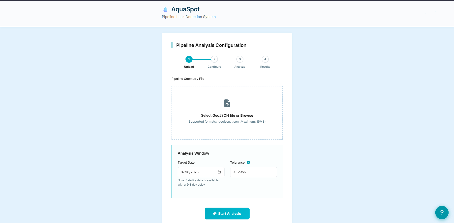
- Built a CLI + Flask web app using Python.
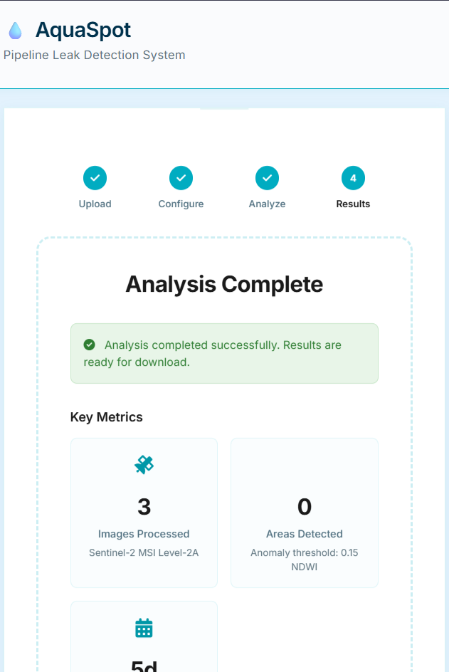
- Used Sentinel Hub APIs to fetch Sentinel‑2 imagery, computed NDWI, and detected changes within user-uploaded pipeline areas.
- Web UI wraps the CLI for easy uploads and downloads.
- Alerts (email/SMS) and PDF reports are stubbed in for field teams.
- Dockerized for portable deployment.
Challenges we ran into
- Dealing with cloudy or missing Sentinel‑2 data
- Buffering and masking issues due to geospatial CRS mismatches
- High NDWI from vegetation caused false positives
- Time constraints meant leaving some features (clustering, ML scoring) as TODOs
Accomplishments that we're proud of
- Built a full satellite-to-map leak detector in under 48 hours
- No hardware needed, only a GeoJSON of the pipeline
- Same codebase supports CLI and web users
What we learned
- Real-world use of Sentinel-2 and NDWI techniques.
- STAC APIs, cloud masking, and remote sensing quirks.
- Geospatial tooling in Python (GeoPandas, Rasterio, Shapely).
The Future of AquaSpot
Future plans for AquaSpot aim to evolve it into a scalable, open-source platform for global use. The intended goal is to support water utilities, governments, NGOs, and students, across both well-resourced and underserved regions. Potential enhancements include confidence scoring, leak prioritization, and real-time feedback mechanisms to improve detection accuracy. There are also considerations for integrating AquaSpot with SMS, WhatsApp, or local alert systems to extend usability to areas with limited internet access.
Usability and Accessibility
- No expensive hardware
- No sensor networks, LiDAR, or drones
- No technical background required, outputs are human-readable
- Works in low-resource, rural, or underfunded regions
- Entirely built on free, globally available data
- Outputs clean, PDF reports that utility staff can use directly
BTW, I'm using Render to host my site as the link below, it takes about a minute to load up the site.


Log in or sign up for Devpost to join the conversation.