Inspiration
Citizen science can collect far more river data than official monitoring alone, but the problem is knowing what data can actually be trusted. AquaTrust was inspired by the idea of making citizen readings useful without ignoring unusual results that could indicate real pollution.
What it does
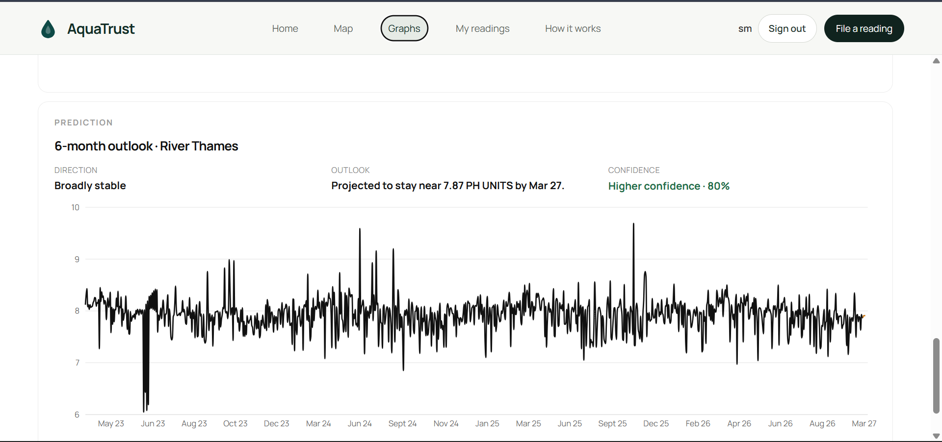
AquaTrust combines official Environment Agency data with citizen-submitted river readings to create accurate graphs to . It checks each citizen reading using an explainable TrustScore, AI validation, and community verification through VerifyMe.
How we built it
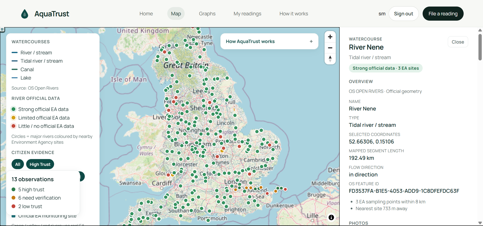
We used OS Open Rivers for river locations and Environment Agency data for real water-quality measurements. Citizen readings are checked against physical limits, nearby data, and uploaded river photos before being shown on the map.
Challenges we ran into
The biggest challenge we discovered was being able to make sure the verifier worked as this was vital in making sure the data would remain accurate
Accomplishments that we're proud of
We built an accurate aesthetic website that has mutiple features to enhance the user experience
What we learned
What's next for AquaTrust
Expand to world wide rivers while making the verifier as accurate as possible


Log in or sign up for Devpost to join the conversation.