-
3D AniMaps
Inspiration
Use our skills to face the challenge: Where Are the Poachers?
What it does
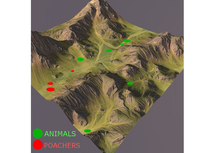
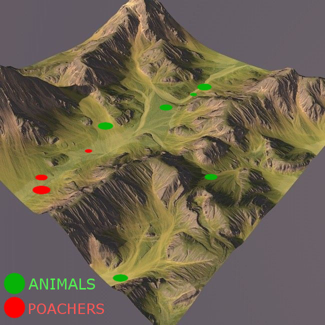
AniMaps allows localizing animals in real-time in the 3D environment. It allows the user to browse historical data to localize and understand patterns that occur.
How I built it
Our workflow is: 1) Create a terrain model 2) Recognize the poachers and animals from the images 3) Send the coordinates of poachers and animals to our application 4) Display the information in AniMaps.
Challenges I ran into
Currently used technology has limitations, for example, it is not possible to collect precise data during the night.
Accomplishments that I'm proud of
Creating a working prototype of Animaps.
What I learned
We learned how to combine data on 3D maps.


Log in or sign up for Devpost to join the conversation.